Daphne Grove Campground
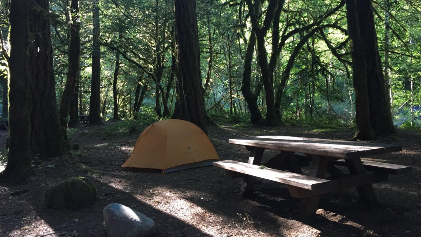
Daphne Grove Campground is a quiet, riverside hideaway located about 14 miles south of Powers. With 14 forested campsites and easy paved access that can accommodate RVs, it's a favorite for peaceful camping, wildlife viewing, and simple outdoor recreation.
More like this: reservable in Oregon · tent only in Oregon
Check availability on Recreation.gov ↗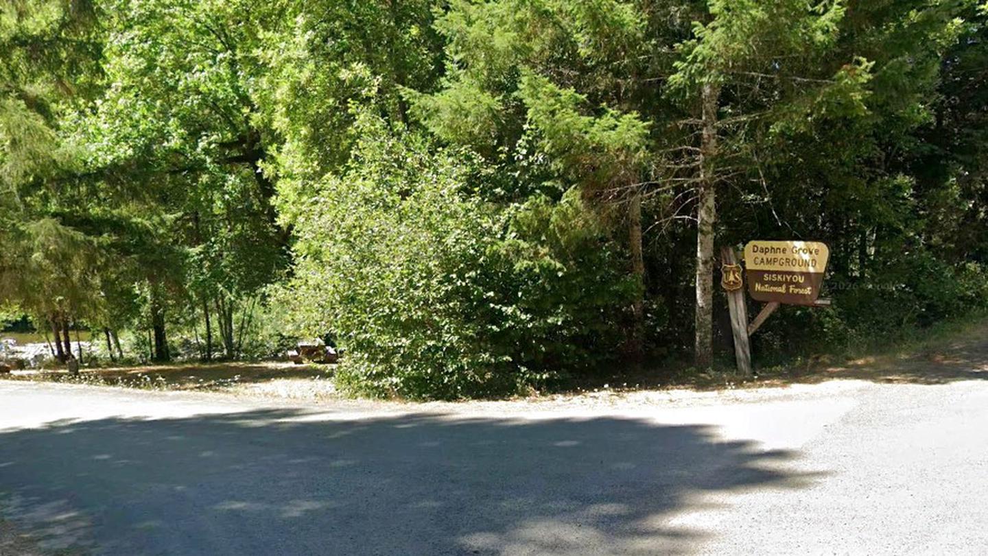

Site mix
| Standard, no hookups | 14 |
Amenities & rules
| Equipment | Tents |
| Fees | Overnight Camping: $10 per site per night; Additional Vehicle Fee: $3 per vehicle per day. NOTE: 50% discount for Interagency Senior and Access Pass holders on a single campsite. This discount does not apply to extra vehicle fees. |
14 Campsites NO Potable water is available at this site. 4 Vault Toilets
Individual sites vary. Confirm on Recreation.gov or with the managing office.
Season & status
| Forest | Rogue River-Siskiyou National Forest |
| Booking | First come, first served |
| Fees | Camp Site: $10/night. Extra Vehicle: $3/night |
| Rules | Quiet hours between 10 p.m. and 6 a.m. Campfires in developed fire pits only. Fireworks are prohibited. Dogs must be on leash. OHV/ATV use prohibited in the campground. Maximum length of stay: 14 days |
Weather by month
Getting there
From Powers, OR, go 15 miles south on Forest Road 33.
| Nearest town | Powers, Oregon |
| Coordinates | 42.7367° N, 124.0546° W · Directions ↗ |
Supplies & services
| Dump station | Dump station ↗ | 7.2 mi |
| Outdoor gear | Rogue Outdoor Store ↗ | 28.8 mi |
Locations © OpenStreetMap contributors. Call ahead; hours change seasonally.
Explore
Video
Video of Daphne Grove Campground, OR from Sarah K.
Worth a stop
Hanging Rock viewpoint, Elk Creek Falls, Big Tree trail (world’s largest Port Orford cedar tree), Coquille Falls trail.
- 6.8 mi
- 8.7 mi
Trails nearby
- 0.1 miDaphne Grove ↗0.7 mi trail · hiking
- 1.9 miJohnson Creek1.9 mi trail · hiking, horse, bike
- 2.1 miCoquille River Falls0.4 mi trail · hiking
- 2.2 miAzelea Lake1.4 mi trail · hiking, horse
- 3 miPanther Ridge ↗9.4 mi trail · hiking, horse
- 3.8 miSucker Creek ↗7.1 mi trail · hiking, horse
Trailheads within three miles
- 2.2 miAzalea Lake Trailhead ↗Rogue River-Siskiyou National Forest
- 2.3 miCoquille River Falls Trailhead ↗Rogue River-Siskiyou National Forest
- 2.6 miSucker Creek - Northeast Trailhead ↗Rogue River-Siskiyou National Forest
- 3 miPanther Ridge - Bald Knob Trailhead ↗Rogue River-Siskiyou National Forest
Trail and trailhead records are the Forest Service's. Distances are straight-line to the nearer trail end. Trail conditions are not tracked here.
Public land it sits in
This campground sits inside Rogue River-Siskiyou National Forests.
- inRogue River-Siskiyou National Forests ↗National Forest · Forest Service · 1,852,705 acres
- 2.3 miWild Rogue Wilderness ↗Wilderness · BLM/FS · 35,203 acres
- 4.2 miCopper Salmon Wilderness ↗Wilderness · Forest Service · 13,724 acres
Each unit is published as a centre point and an acreage rather than a boundary, so this section stands it in for a circle of the same area. Whether a campground is inside, and how far it is from one it is outside, are both approximate.
Other campgrounds nearby

Cabin and lookout rentals nearby

Natural features
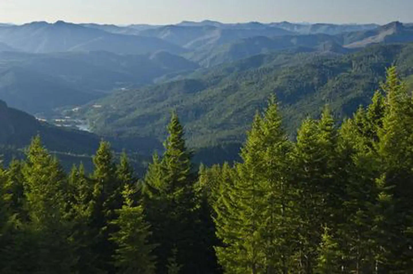
Short interpretive trail and South Fork Coquille River
Recreation
The relatively short Coquille River Falls travels back and forth through an amazing stand of old-growth Douglas-fir, hemlock, and Port Orford cedar trees, and ends at Coquille River Falls. The trail is within driving distance from the small town of Powers, Oregon, and several campgrounds in and around the town.
Guidebooks for Oregon
We earn a small commission if you buy through these links. It does not change what we list.

Titles come from Open Library's catalog, matched by subject heading or by title.
Reference
Questions people ask
Do I need a reservation at Daphne Grove Campground?
Sites at Daphne Grove Campground are reservable on Recreation.gov. First come, first served Any walk-up sites are listed on the booking page.
Source: Recreation.gov
How much does it cost to camp at Daphne Grove Campground?
Overnight Camping: $10 per site per night; Additional Vehicle Fee: $3 per vehicle per day. NOTE: 50% discount for Interagency Senior and Access Pass holders on a single campsite. This discount does not apply to extra vehicle fees.
Source: Recreation.gov
How many sites does Daphne Grove Campground have?
14 sites, including 14 standard sites without power.
Source: Recreation.gov
Can I bring an RV to Daphne Grove Campground?
Daphne Grove Campground is listed for tents only.
Source: Recreation.gov
What is there to do at Daphne Grove Campground?
The relatively short Coquille River Falls travels back and forth through an amazing stand of old-growth Douglas-fir, hemlock, and Port Orford cedar trees, and ends at Coquille River Falls. The Recreation section on this page has the rest.
Source: Recreation
What is the nearest town to Daphne Grove Campground?
Powers, Oregon. Hanging Rock viewpoint, Elk Creek Falls, Big Tree trail (world’s largest Port Orford cedar tree), Coquille Falls trail.
Source: Getting there
What if Daphne Grove Campground is full?
The nearest public campgrounds are Island Campground (1.1 mi), Rock Creek Campground (2 mi), and Sru Lake Campground (2.5 mi, first-come).
Source: Campgrounds nearby