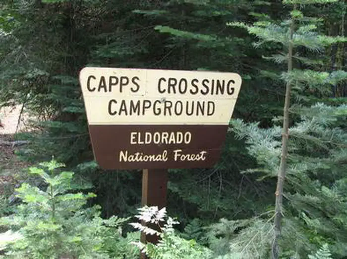
Capps Crossing
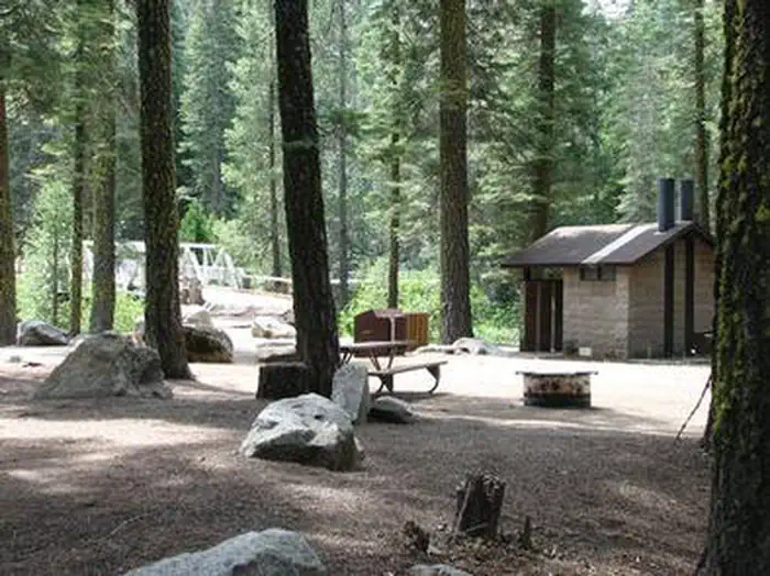
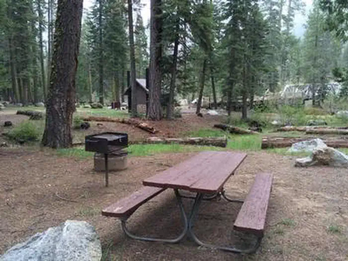
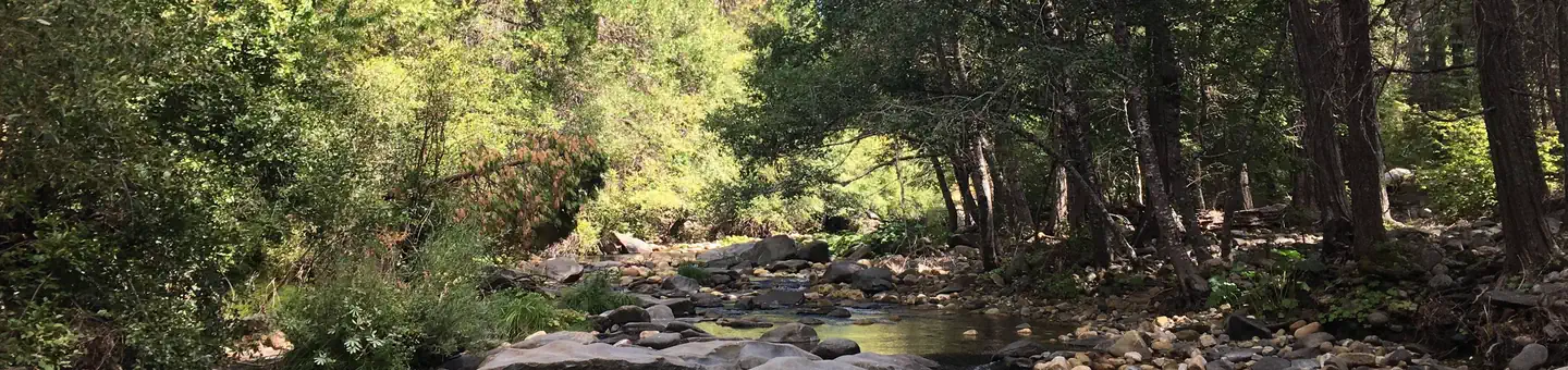
Capps Crossing is located on the North Fork of the Cosumnes River. The campground is located in a forested area and is well shaded during the day. Hiking trails and rock climbing areas are nearby.
More like this: reservable in California · big rigs in California · pets allowed in California · group sites in California
Check availability on Recreation.gov ↗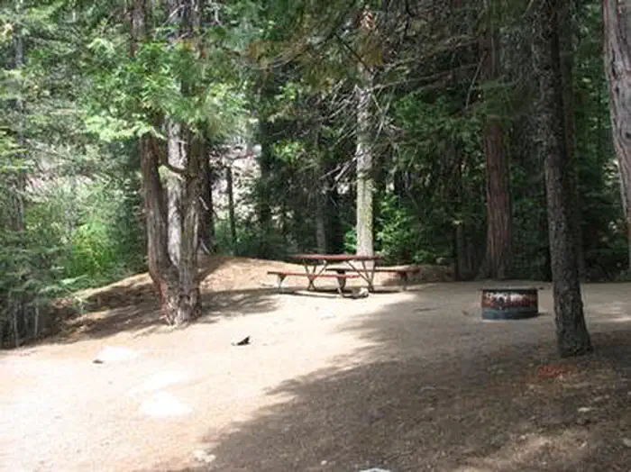
Site mix
| Tent-only | 4 |
| Standard, no hookups | 4 |
| group standard area nonelectric | 1 |
| Host/management | 1 |
Site guide
Will my RV fit
The longest site here provides 40 feet of vehicle capacity. Most sites are shorter.
9 sites. Tap a filter to narrow the list; the map follows.
| Site | Type | Entry | Fits, ft | Surface | Shade | People / vehicles |
|---|---|---|---|---|---|---|
| 001 | Standard | Back-in | 40 | Gravel | 6 / 2 | |
| 002 | Tent only | Back-in | Gravel | 6 / 2 | ||
| 003 | Tent only | Back-in | Gravel | 6 / 2 | ||
| 004 | Tent only | Back-in | Gravel | 6 / 2 | ||
| 005 | Tent only | Back-in | Gravel | 6 / 2 | ||
| 006 | Standard | Back-in | 40 | Gravel | 6 / 2 | |
| 007 | Standard | Back-in | 40 | Gravel | 6 / 2 | |
| 010 | Standard | Back-in | 40 | Gravel | 6 / 2 | |
| CAPP | Group | Back-in | 40 | Gravel | Full | 60 / 13 |
Per-site records as published by the managing agency on Recreation.gov. Blank cells mean the agency listed nothing for that site. Check-in 2:00 PM, checkout 1:00 PM.
Amenities & rules
| Hookups | None |
| Max vehicle length | 40 ft |
| Equipment | RVs & trailers, Tents |
| Pets | Allowed |
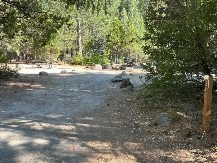
Capps Crossing is a unique campground. It is designed for groups, by reservation, and can accommodate 42 people. Individual sites are limited to one vehicle and six people. Campsites 2-5 are for tents only and sites 1, 6, and 7 can fit RVs. Individual sites are arranged in a single loop that forms the group site.
Individual sites vary. Confirm on Recreation.gov or with the managing office.
Season & status
| Status | Closed for the season. Forest Service sites close for the season; check the official page for the reopening date. |
| Forest | Eldorado National Forest |
| Booking | CALL 1-877-444-6777, four days to 360 days in advance of your first night’s stay. www.Recreation.gov. Visa, MasterCard, American Express, and Discover accepted. |
| Fees | $165 group $28 single $56 double $5/extra vehicle fee |
Weather by month
Getting there
From Pollock Pines, take Sly Park Road (County E16) 4.3 miles south to Mormon Emigrant Trail. Turn left onto Mormon Emigrant Trail and drive 11.2 miles east to North-South Road. Turn right onto North-South Road and drive 7 miles south to the campground. The entrance to Capps Crossing will be on the left.
| Nearest town | Camino, California |
| Coordinates | 38.6511° N, 120.4061° W · Directions ↗ |
Good to know
- When the campground is not reserved for groups, the individual sites may be used on a first-come, first-served basis.
Charges and cancellations
- Recreation Fee: Recreation fees are the fees a visitor pays for things like overnight camping, a day-use pavilion, group facilities, a tour or a permit. Recreation fees vary by location and/or activity.
- Reservation Fee: A fee may be charged at the time a reservation is made to cover the cost of reservation services. This fee is in addition to the Recreation Fee and is non-refundable. Fees for camping, day use, group sites, cabins and lookouts: $8 if made on-line; $9 if made through the call center; $3 if made in-person.
- Change Fee: A service fee may be charged at the time a modification is made depending on the changes.
- Cancellation Fee: Customers who cancel a group overnight facility reservation less than 14 days before the arrival date will pay a $10.00 service fee AND forfeit the first night's use fee.
- Cut-off windows can vary by location, but are typically 14 days before your arrival date.
- Late Cancellation: If you cancel your reservation too close to the start date, additional service fees may be withheld.
Fire nearby
- PrescribedTmu Rx Support
30 mi from the campground
Distance is to the reported incident point, not the fire edge. Call the managing office before you drive.
Supplies & services
| Dump station | Dump station ↗ | 12.5 mi |
| Outdoor gear | Mosquito Creek Outfitters ↗ | 21.5 mi |
| RV sales & service | Rocklin RV Center ↗ | 44.8 mi |
Locations © OpenStreetMap contributors. Call ahead; hours change seasonally.
Explore
Worth a stop
Visitors enjoy taking scenic drives to many overlooks in the area. Fishing, hiking, bird watching, and close proximity to off-highway vehicle routes are some of the attractions of Capps Crossing.
- 8.5 miFleming Trail System & Trailhead ↗Trailhead
- 9 mi
- 12 mi
- 12.2 miIce House Day Use & Boat Launch ↗Boat launch
Trails nearby
- 1.5 miSteely0.8 mi trail · hiking, horse, bike, motorcycle and 1 more
- 1.6 mi49ner1.8 mi trail · hiking, horse, bike, motorcycle and 1 more
- 1.7 miX-Over1.3 mi trail · hiking, horse, bike, motorcycle and 1 more
- 1.8 miPlummer Station Tie1.8 mi trail · hiking, horse, bike, ATV and 1 more
- 3 miRidge Run3.6 mi trail · hiking, horse, bike, motorcycle and 1 more
- 3.5 miPlummer Ridge Loop ↗20.3 mi trail · hiking, horse, bike, motorcycle and 1 more
Trail and trailhead records are the Forest Service's. Distances are straight-line to the nearer trail end. Trail conditions are not tracked here.
Public land it sits in
This campground sits inside Eldorado National Forest.
- inEldorado National Forest ↗National Forest · Forest Service · 793,653 acres
Each unit is published as a centre point and an acreage rather than a boundary, so this section stands it in for a circle of the same area. Whether a campground is inside, and how far it is from one it is outside, are both approximate.
Other campgrounds nearby

Cabin and lookout rentals nearby
Natural features
Capps Crossing sits at an elevation of 5,100 feet, in the shade of cedar and fir trees. A Mediterranean climate extends over most of the forest, creating warm, dry summers and cold, wet winters.
Recreation
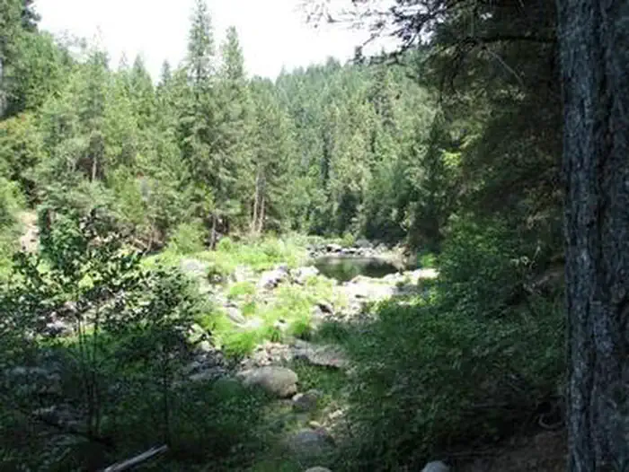
Wading is possible in the North Fork Cosumnes River. Fishing is an option and a good spot for swimming is nearby. While exploring the river, it's not uncommon to see people panning for gold. Gold-seeking hobbyists maintain the excitement of the old days of gold mining in the region.
Guidebooks for California
We earn a small commission if you buy through these links. It does not change what we list.

Titles come from Open Library's catalog, matched by subject heading or by title.
Reference
Questions people ask
Do I need a reservation at Capps Crossing?
Sites at Capps Crossing are reservable on Recreation.gov. CALL 1-877-444-6777, four days to 360 days in advance of your first night’s stay. Any walk-up sites are listed on the booking page.
Source: Recreation.gov
How much does it cost to camp at Capps Crossing?
$165 group $28 single $56 double $5/extra vehicle fee
Source: Recreation.gov
What time is check-in at Capps Crossing?
Check-in 2:00 PM, checkout 1:00 PM.
Source: Recreation.gov
What does it cost to cancel a reservation at Capps Crossing?
Cancellation Fee: Customers who cancel a group overnight facility reservation less than 14 days before the arrival date will pay a $10.00 service fee AND forfeit the first night's use fee.
Source: Charges and cancellations
Is Capps Crossing open right now?
Closed for the season as of Oct 16, 2026.
Source: Forest Service status
How many sites does Capps Crossing have?
10 sites, including 4 tent-only sites, 4 standard sites without power, and 1 group standard area nonelectric.
Source: Recreation.gov
Will my RV fit at Capps Crossing?
The longest site here provides 40 feet of vehicle capacity. Most sites are shorter. The sidebar tool checks a trailer or motorhome length against every site.
Source: Will my RV fit
Are pets allowed at Capps Crossing?
Yes, pets are allowed at Capps Crossing. Leash rules apply.
Source: Recreation.gov
What is there to do at Capps Crossing?
Wading is possible in the North Fork Cosumnes River. The Recreation section on this page has the rest.
Source: Recreation
What is the nearest town to Capps Crossing?
Camino, California. Visitors enjoy taking scenic drives to many overlooks in the area.
Source: Getting there
What if Capps Crossing is full?
The nearest public campgrounds are Pipi Campground (5.6 mi), Middle Fork Cosumnes Campground (7.4 mi, first-come), and Sand Flat (8.9 mi).
Source: Campgrounds nearby