Robbs Hut
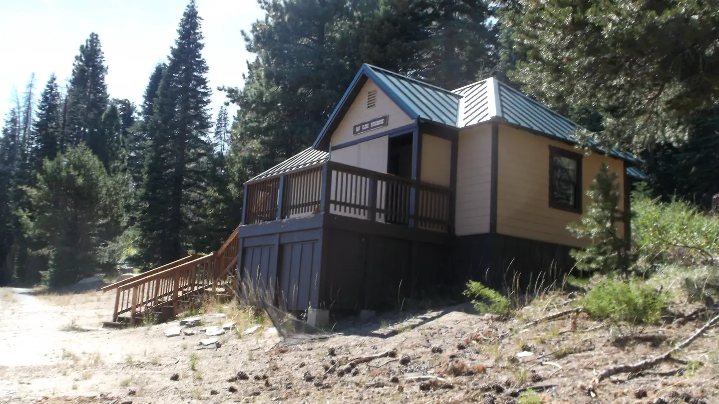
Robbs Hut offers a peaceful, rustic getaway with phenomenal views of the Sierra Nevada. The cozy, yet minimalistic cabin is open year-round and can be accessed by car in warmer months. From November to mid-June, guests can expect to hike, snowshoe or ski up a 3-mile trail with a 1,000-foot elevation gain to reach the hut. This trail runs along Robbs Road from Ice House Road. Originally a sleeping quarters for rangers of the adjacent Forest Service lookout from 1934 to 1978, the hut makes an ideal recreation spot with mountain biking and off-road vehicle trails nearby. The lookout is open to the public for day use.
Check availability on Recreation.gov ↗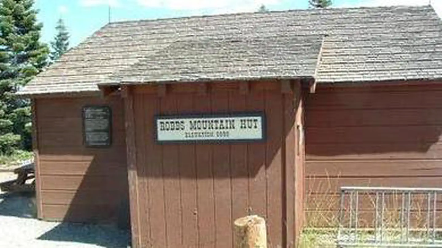
Site mix
| Cabins | 1 |
Site guide
1 site. Tap a filter to narrow the list; the map follows.
| Site | Surface | People / vehicles |
|---|---|---|
| 1 | Gravel | 6 / 4 |
Per-site records as published by the managing agency on Recreation.gov. Blank cells mean the agency listed nothing for that site. Check-in 2:00 PM, checkout 1:00 PM.
Amenities & rules
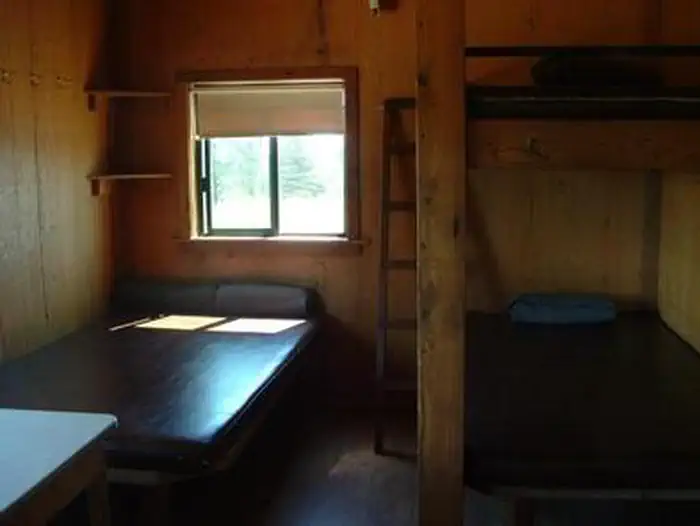
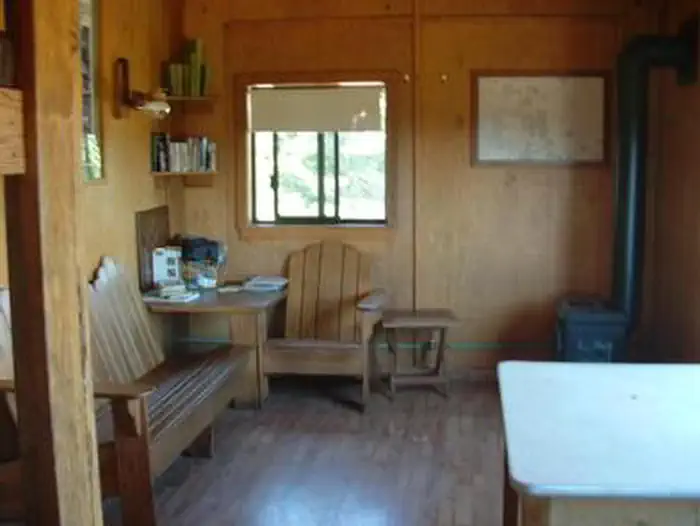
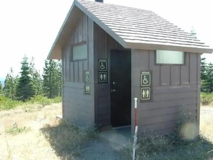
The hut is equipped with a propane heater and a cookstove. The cookstove is served by piped-in propane, and there is a newly installed solar lighting system. Other amenities include three sleeping platforms (3/4 inch width), mattresses, four wool blankets, a shovel, bucket and cleaning supplies. Outside on the stone deck by the lookout are a charcoal grill, campfire ring, picnic table and vault toilet building. No water, electricity or garbage service are available. Guests must bring their own supply of water and garbage bags. Additional items to bring include food, cooking utensils and pots, sleeping bags, toilet paper, first aid supplies, matches and a flashlight.
Individual sites vary. Confirm on Recreation.gov or with the managing office.
Weather by month
Getting there
From Placerville, drive 21 miles east on Highway 50, turn left on Ice House Road and go 23 miles north to the Robbs Hut Road turnoff. Look for small sign and turn left on dirt road. In winter, park here and ski or hike 3 miles along the road to the hut. In summer, use combination to access both gates and drive up. Follow blue arrows to the hut.
| Nearest town | Camino, California |
| Coordinates | 38.9236° N, 120.4042° W · Directions ↗ |
Fire nearby
- PrescribedTmu Rx Support
23 mi from the campground
Distance is to the reported incident point, not the fire edge. Call the managing office before you drive.
Supplies & services
| Dump station | Dump station ↗ | 6.8 mi |
| Outdoor gear | Sierra ↗ | 21.5 mi |
| RV sales & service | Custom Truck Accessories ↗ | 37.2 mi |
Locations © OpenStreetMap contributors. Call ahead; hours change seasonally.
Explore
Worth a stop
The nearest phone a pay phone at the Crystal Basin Information Station on Ice House Road, 13 miles southwest of the hut. This station is open in summer only.
- 2.3 mi
- 3.6 miGerle Creek Picnic Area ↗Day use
- 4.2 miWest Point Boat Launch ↗Boat launch
- 5.7 miLoon Lake Day Use And Boat Launch ↗Boat launch
Trails nearby
- 0.1 miRobbs Hut3.1 mi trail · snowshoe, ski
- 2.5 miUnion Valley Bike Trail ↗6.7 mi trail · hiking, horse, bike
- 3.1 miSummer Harvest Trail ↗0.8 mi trail · hiking, horse, bike
- 3.2 miSouth Fork3.5 mi trail · hiking, horse, bike
- 3.3 miGerle Creek Trail ↗0.8 mi trail · hiking, horse, bike
- 3.5 miSunrock1.2 mi trail · hiking, horse, bike
Trail and trailhead records are the Forest Service's. Distances are straight-line to the nearer trail end. Trail conditions are not tracked here.
Public land it sits in
This campground sits inside Eldorado National Forest.
- inEldorado National Forest ↗National Forest · Forest Service · 793,653 acres
- 6.8 miDesolation Wilderness ↗Wilderness · Forest Service · 64,041 acres
- 8.7 miLake Tahoe Basin Management Unit ↗National Forest · Forest Service · 331,807 acres
Each unit is published as a centre point and an acreage rather than a boundary, so this section stands it in for a circle of the same area. Whether a campground is inside, and how far it is from one it is outside, are both approximate.
Other campgrounds nearby
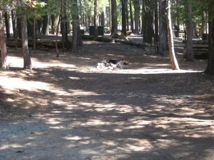
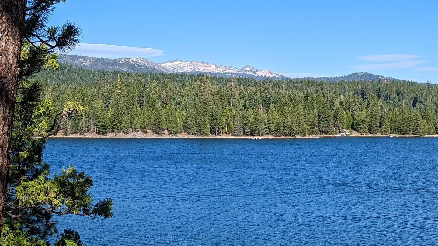
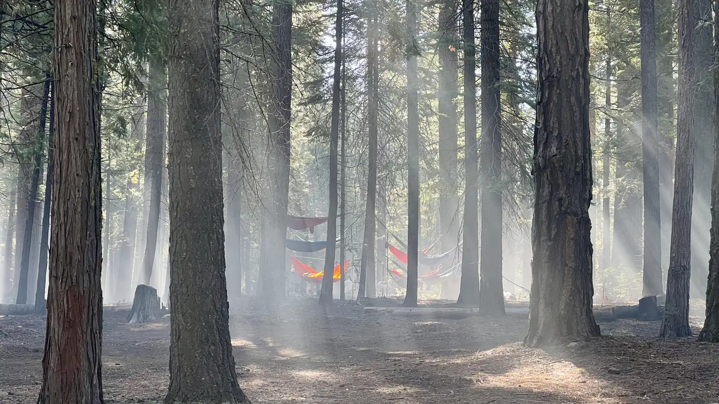
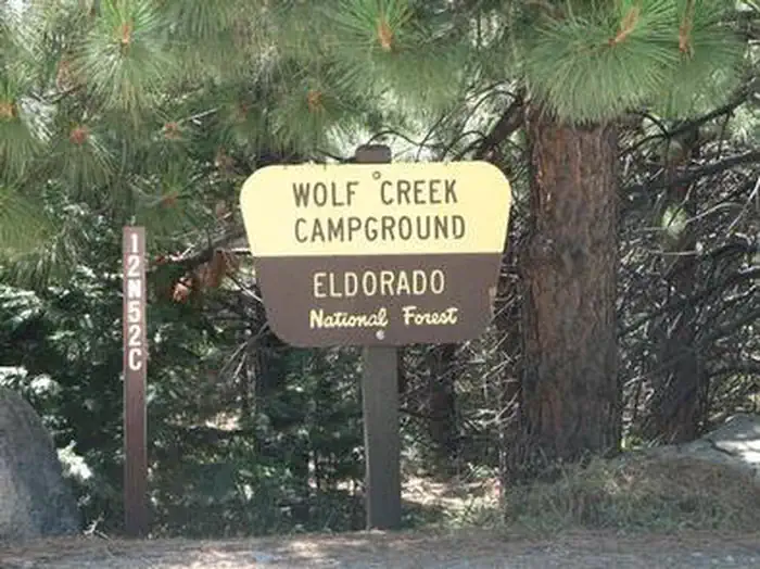
Cabin and lookout rentals nearby
Natural features
Perched atop Robbs Peak at an elevation of 6,686 feet, the hut boasts panoramic views of the Crystal Range in the Desolation Wilderness and the Sacramento Valley. The peak is part of the Sierra Nevada Mountains in Eldorado National Forest and sits in a clearing surrounded by Jeffrey and Ponderosa pine.
Recreation
Mountain biking, hiking and cross country skiing are popular activities for visitors. Access by skis to the cabin is recommended for intermediate to advanced skiers.
Guidebooks for California
We earn a small commission if you buy through these links. It does not change what we list.

Titles come from Open Library's catalog, matched by subject heading or by title.
Reference
Questions people ask
Do I need a reservation at Robbs Hut?
Sites at Robbs Hut are reservable on Recreation.gov. Any walk-up sites are listed on the booking page.
Source: Recreation.gov
What time is check-in at Robbs Hut?
Check-in 2:00 PM, checkout 1:00 PM.
Source: Recreation.gov
How many sites does Robbs Hut have?
1 site, including 1 cabin.
Source: Recreation.gov
Is there cell service at Robbs Hut?
FCC coverage maps show T-Mobile 5G at the campground point. Terrain changes that from one site to the next.
Source: FCC Broadband Map
What is there to do at Robbs Hut?
Mountain biking, hiking and cross country skiing are popular activities for visitors. The Recreation section on this page has the rest.
Source: Recreation
What is the nearest town to Robbs Hut?
Camino, California. The nearest phone a pay phone at the Crystal Basin Information Station on Ice House Road, 13 miles southwest of the hut.
Source: Getting there
What if Robbs Hut is full?
The nearest public campgrounds are South Fork Group (1.7 mi), Yellowjacket (2.3 mi, partly first-come), and Wench Creek (2.7 mi, partly first-come).
Source: Campgrounds nearby