Barker Recreation Area
Barker Recreation Area is located high on the Colorado Plateau at an elevation of 9,300 feet. Visitors enjoy canoeing, fishing and exploring local trails.
Some sites take reservations on Recreation.gov. Others are first-come, first-served.
More like this: first-come in Utah · reservable in Utah · pets allowed in Utah · group sites in Utah
Check availability on Recreation.gov ↗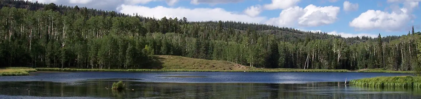
Site mix
| Standard, no hookups | 13 |
| Group sites | 2 |
| group standard area nonelectric | 1 |
| Host/management | 2 |
Site guide
Will my RV fit
The longest site here provides 35 feet of vehicle capacity. Most sites are shorter.
16 sites. Tap a filter to narrow the list; the map follows.
| Site | Type | Entry | Fits, ft | Surface | Shade | People / vehicles | Fires | Accessible |
|---|---|---|---|---|---|---|---|---|
| 001 | Standard | Back-in | 35 | Gravel | 8 / 1 | Yes | Yes | |
| 002 | Standard | Back-in | 35 | Gravel | 8 / 1 | Yes | ||
| 003 | Standard | Back-in | 35 | Gravel | 8 / 1 | Yes | Yes | |
| 004 | Standard | Back-in | 35 | Gravel | 8 / 1 | Yes | Yes | |
| 005 | Standard | Back-in | 35 | Gravel | Partial | 8 / 1 | Yes | Yes |
| 006 | Standard | Back-in | 35 | Gravel | Partial | 8 / 1 | Yes | Yes |
| 007 | Standard | Back-in | 35 | Gravel | 8 / 1 | Yes | Yes | |
| 008 | Standard | Back-in | 35 | Gravel | Partial | 8 / 1 | Yes | Yes |
| 009 | Standard | Back-in | 35 | Gravel | Partial | 8 / 1 | Yes | Yes |
| 010 | Standard | Back-in | 35 | Gravel | 8 / 1 | Yes | Yes |
Per-site records as published by the managing agency on Recreation.gov. Blank cells mean the agency listed nothing for that site. Check-in 02:00 PM, checkout 11:00 AM.
Amenities & rules
| Hookups | None |
| Max vehicle length | 35 ft |
| Equipment | RVs & trailers, Tents |
| Pets | Allowed |
| Campfires | Allowed, subject to restrictions |
| Tent pads | Yes |
| Accessibility | Sites 001, 003, 004, 005 and 13 more are listed accessible |
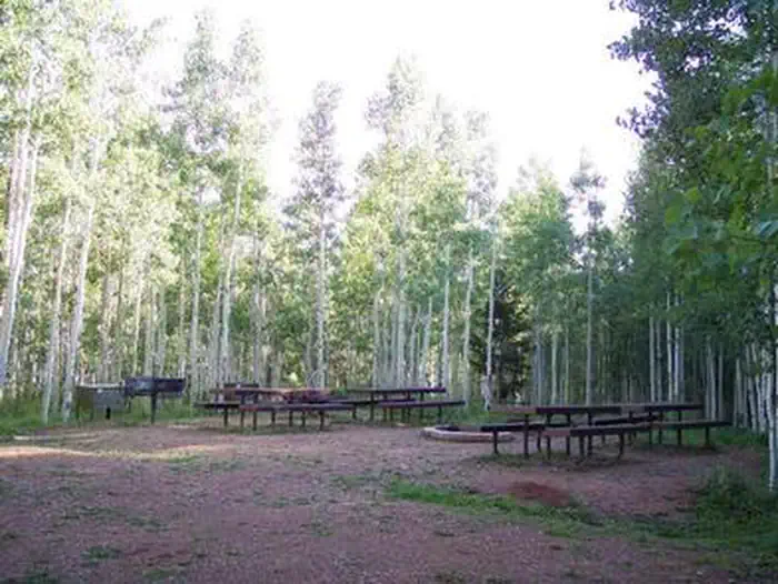
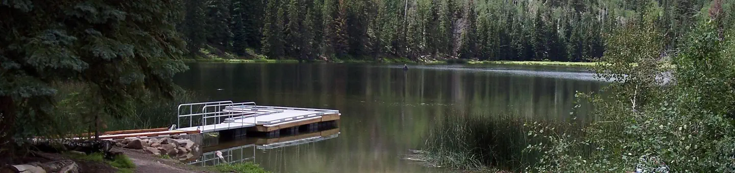
This recreation area contains 13 single-family sites, three group campsites and a day-use area. Horses are permitted in the Porter group site. Drinking water is provided from Memorial Day through Labor Day. Amenities include accessible vault toilets and bear-proof food storage lockers. Fishing docks are located at Upper and Lower Barker Reservoirs. Roads and parking spurs are gravel.
Individual sites vary. Confirm on Recreation.gov or with the managing office.
Season & status
| Status | Open |
| Season | Late May to Early September |
| Forest | Dixie National Forest |
| Booking | Visit Recreation.gov or by calling 1-877-444-6777 Some single sites are available on a first come, first served basis. |
| Fees | Check fees on www.recreation.gov |
| Rules | Quiet hours between 10 p.m. and 6 a.m. Campfires in developed fire pits only. Fireworks are prohibited. Dogs must be on leash. ATV and OHV are allowed to ingress and egress all group sites and campsites 1 and 13. Street Legal OHVs are allowed throughout the campground. Maximum length of stay: 14 days. Fishing license fee required. |
Weather by month
Getting there
From Escalante, Utah, drive 2.5 miles west on Highway 12, then turn right at the North Creek Lakes sign and right again at the Barker Recreation Area sign, onto Forest Road 149. Drive approximately 16 miles on FR 149. The last 3.4 miles of FR 149 are steep and single-lane with switchbacks and turnouts.
| Nearest town | Escalante, Utah |
| Coordinates | 37.9206° N, 111.8153° W · Directions ↗ |
Fire nearby
- PrescribedFremont River Rd Piles Rx
47 mi from the campground
Distance is to the reported incident point, not the fire edge. Call the managing office before you drive.
Supplies & services
| Dump station | Dump station ↗ | 13.8 mi |
| Outdoor gear | Escalante Outfitters ↗ | 15.4 mi |
Locations © OpenStreetMap contributors. Call ahead; hours change seasonally.
Explore
Video
Barker Lake Camping
Trails nearby
- 0.5 miFlat Lake Trail0.5 mi trail · hiking, horse, bike
- 0.8 miDougherty Basin Trail0.8 mi trail · hiking, horse, bike
- 1 miGriffin Point Trail ↗9.3 mi trail · hiking, horse, bike
- 1 miBlue Lake Trail0.1 mi trail · hiking, horse, bike
- 1 miThe Gap Trail2.8 mi trail · hiking, horse, bike
- 1.6 miIsland in the Sky Trail1 mi trail · hiking, horse, bike
Trail and trailhead records are the Forest Service's. Distances are straight-line to the nearer trail end. Trail conditions are not tracked here.
Public land it sits in
Box-Death Hollow Wilderness begins about 8.4 miles away, and it is the closest of these.
- 8.4 miBox-Death Hollow Wilderness ↗Wilderness · Forest Service · 25,635 acres
Each unit is published as a centre point and an acreage rather than a boundary, so this section stands it in for a circle of the same area. Whether a campground is inside, and how far it is from one it is outside, are both approximate.
Other campgrounds nearby


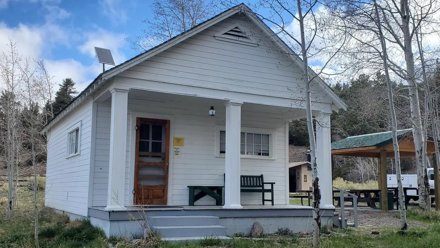
Cabin and lookout rentals nearby
Natural features
A dense canopy of aspen and spruce trees forests Barker Recreation Area. Summer wildflowers are plentiful and a variety of wildlife frequents the area, including black bear, blue grouse, golden eagle, ducks and wild turkey.
Recreation
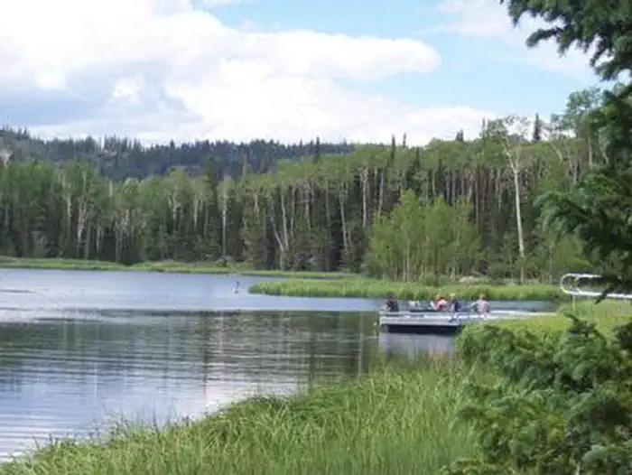
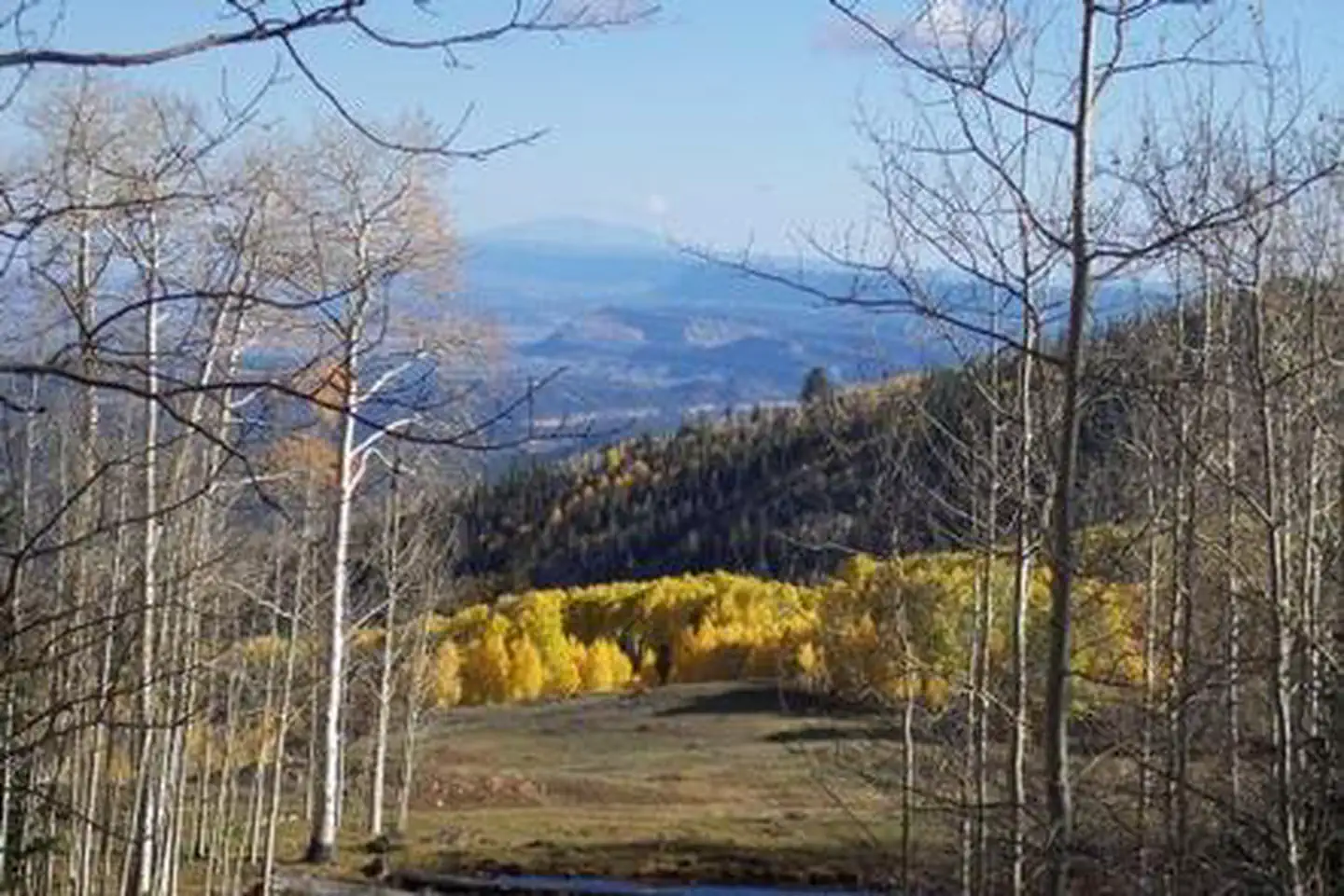
Upper Barker Reservoir provides canoeing, kayaking and fishing for rainbow and brook trout. Numerous hiking, biking and horse trails can be accessed from both the Upper and Lower Barker Reservoir trailheads. Trails, including the non-motorized Great Western Trail, lead to nine backcountry fishing lakes and beautiful mountain views. The area also has excellent stream fishing and spectacular fall colors.
Nearby
Both the Grand Staircase-Escalante National Monument and Escalante Petrified Forest State Park are located approximately 45 minutes away. Sightseeing along Utah Highway 12, a National Scenic Byway, is very popular. Travelers visit from every corner of the world to see the stunning red rock canyons and desert landscapes. Bryce Canyon National Park, Kodachrome Basin State Park and Anasazi State Park are also located in the area.
Guidebooks for Utah
We earn a small commission if you buy through these links. It does not change what we list.


Titles come from Open Library's catalog, matched by subject heading or by title.
Reference
Questions people ask
Do I need a reservation at Barker Recreation Area?
For some sites. Some sites take reservations on Recreation.gov. Others are first-come, first-served.
Source: Recreation.gov
How much does it cost to camp at Barker Recreation Area?
Check fees on www.recreation.gov
Source: Recreation.gov
What time is check-in at Barker Recreation Area?
Check-in 02:00 PM, checkout 11:00 AM.
Source: Recreation.gov
Is Barker Recreation Area open right now?
Open as of Oct 16, 2026. Season Late May to Early September.
Source: Forest Service status
How many sites does Barker Recreation Area have?
18 sites, including 13 standard sites without power, 2 group sites, and 1 group standard area nonelectric.
Source: Recreation.gov
Will my RV fit at Barker Recreation Area?
The longest site here provides 35 feet of vehicle capacity. Most sites are shorter. The sidebar tool checks a trailer or motorhome length against every site.
Source: Will my RV fit
Are pets allowed at Barker Recreation Area?
Yes, pets are allowed at Barker Recreation Area. Leash rules apply.
Source: Recreation.gov
Can I have a campfire at Barker Recreation Area?
Fires are allowed in the provided rings under normal conditions. As of 2026-10-16, there is 1 active fire within 50 miles, so check current restrictions before you light one. Quiet hours between 10 p.m.
Source: Fire nearby
Are there accessible sites at Barker Recreation Area?
Sites 001, 003, 004, and 005 are listed accessible on Recreation.gov, 17 sites in all. What that covers (a paved pad, an accessible table, a nearby accessible restroom) is on each site's booking page.
Source: Recreation.gov
Is there cell service at Barker Recreation Area?
FCC coverage maps show AT&T 4G LTE and T-Mobile 4G LTE at the campground point. Terrain changes that from one site to the next.
Source: FCC Broadband Map
What is there to do at Barker Recreation Area?
Upper Barker Reservoir provides canoeing, kayaking and fishing for rainbow and brook trout. The Recreation section on this page has the rest.
Source: Recreation
What is the nearest town to Barker Recreation Area?
Escalante, Utah. Both the Grand Staircase-Escalante National Monument and Escalante Petrified Forest State Park are located approximately 45 minutes away.
Source: Getting there