Table Mountain (Angeles)
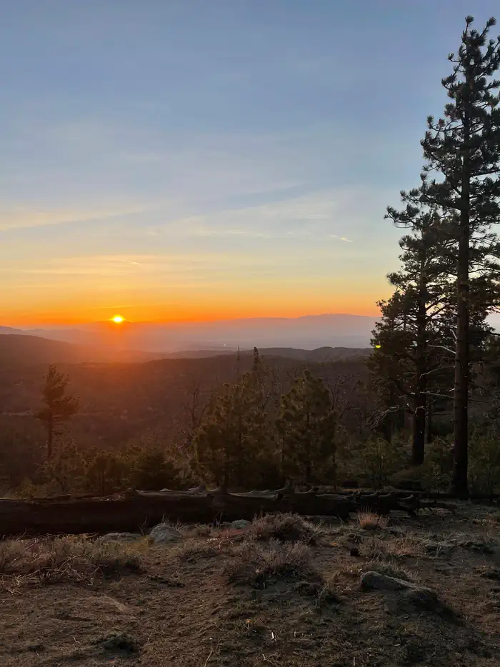
Table Mountain, just a short journey northwest of the Los Angeles metro area, provides a beautiful escape from urban life. Campers will find hiking, mountain biking, birding and countless other recreation opportunities. The surrounding landscape is also ideal for scenic drives. The campground sits in the Angeles National Forest, spanning 694,187 acres over most of the San Gabriel Mountain range. The forest boasts spectacular scenery and 557 miles of hiking and equestrian trails.
More like this: reservable in California · big rigs in California · pets allowed in California · group sites in California
Check availability on Recreation.gov ↗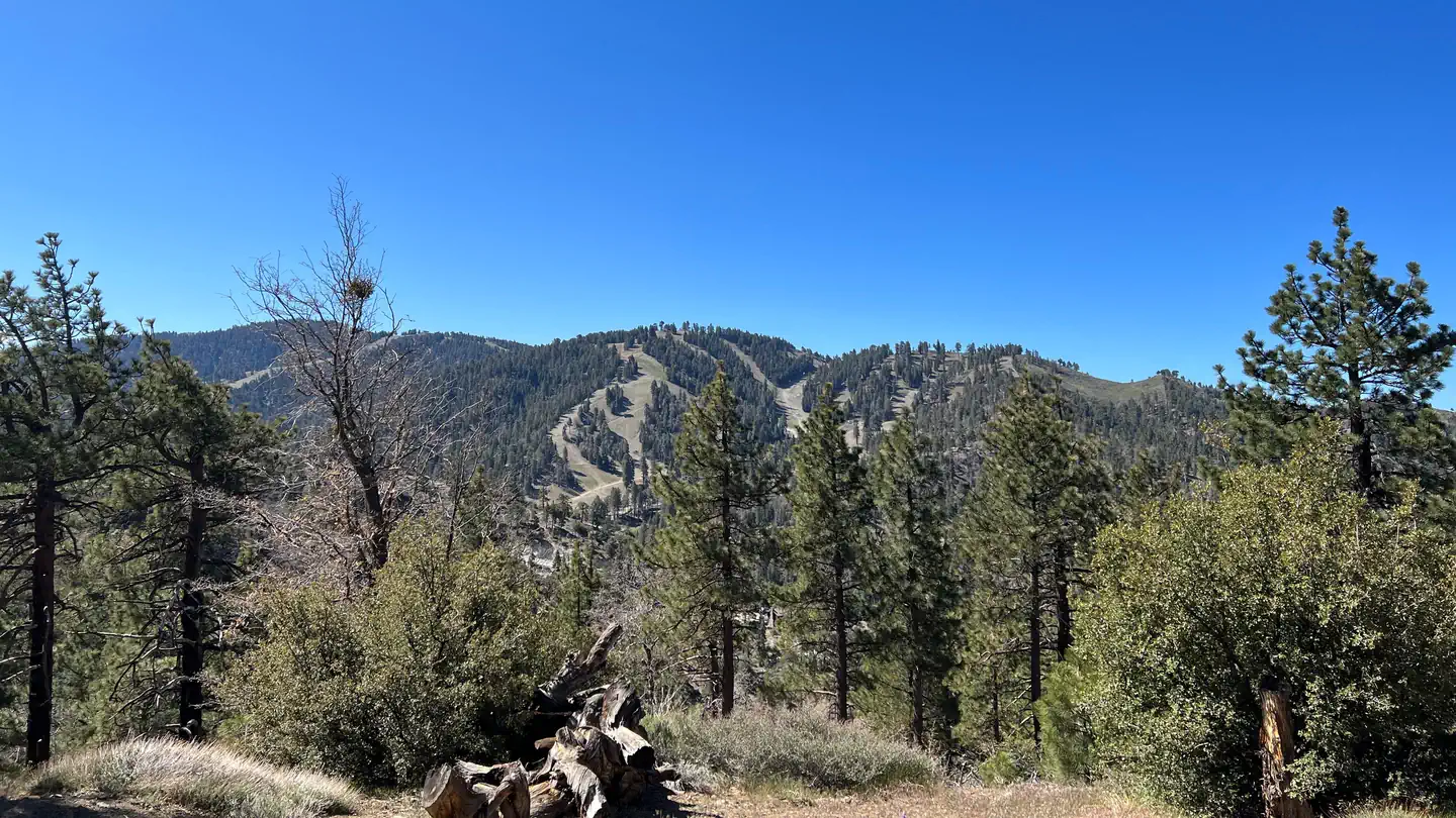
Site mix
| Standard, no hookups | 102 |
| group shelter nonelectric | 1 |
| Group sites | 1 |
| Host/management | 74 |
Site guide
Will my RV fit
The longest site here provides 99 feet of vehicle capacity. Most sites are shorter.
104 sites in 10 loops. Tap a filter to narrow the list; the map follows.
| Site | Loop | Type | Entry | Fits, ft | Surface | Shade | People / vehicles | Fires |
|---|---|---|---|---|---|---|---|---|
| 070 | APAC | Standard | Back-in | 40 | Paved | Partial | 8 / 2 | Yes |
| 071 | APAC | Standard | Back-in | 34 | Paved | Partial | 8 / 2 | Yes |
| 072 | APAC | Standard | Back-in | 45 | Paved | Partial | 8 / 2 | Yes |
| 073 | APAC | Standard | Back-in | 54 | Paved | Partial | 8 / 2 | Yes |
| 074 | APAC | Standard | Back-in | 52 | Paved | Partial | 8 / 2 | Yes |
| 075 | APAC | Standard | Back-in | 60 | Paved | Partial | 8 / 2 | Yes |
| 079 | APAC | Standard | Back-in | 54 | Paved | Partial | 8 / 2 | Yes |
| 080 | APAC | Standard | Back-in | 31 | Paved | Partial | 8 / 2 | Yes |
| 081 | APAC | Standard | Back-in | 43 | Paved | Partial | 8 / 2 | Yes |
| AMPHIT | APAC | Group Shelter Nonelectric | Pull-through | Paved | 150 / 30 |
Per-site records as published by the managing agency on Recreation.gov. Blank cells mean the agency listed nothing for that site. Check-in 2:00 PM, checkout 11:00 AM.
Amenities & rules
| Hookups | None |
| Max vehicle length | 61 ft |
| Equipment | RVs & trailers, Tents |
| Pets | Allowed |
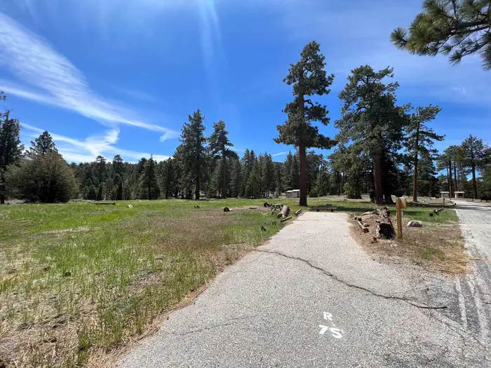
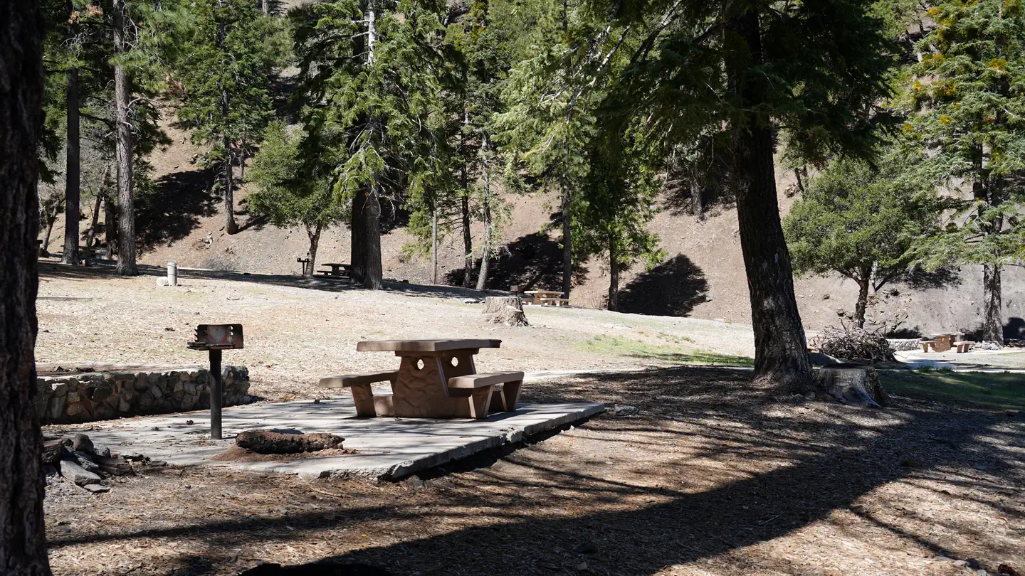
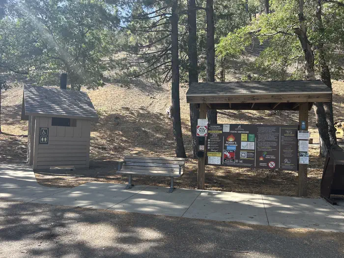
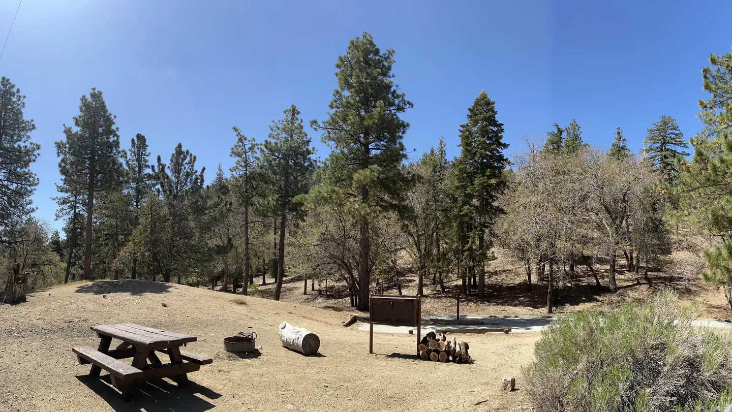
- Campsites range from level meadow locations to shaded, hilly sites. All sites are reasonably close to vault toilets and have paved spurs and fire pits. Water spigots are spaced about every six sites.
- The amphitheater site is available for day-use only and accommodates up to 150 guests and 30 vehicles. Prices vary based on time of year. To RESERVE THE AMPHITHEATER contact Tyler Shippy at [email protected] or call (888) 754-7878 ext 7834.
Individual sites vary. Confirm on Recreation.gov or with the managing office.
Season & status
| Status | Closed for the season. Forest Service sites close for the season; check the official page for the reopening date. |
| Season | Spring to Fall |
| Forest | Angeles National Forest |
| Booking | Make reservations at www.recreation.gov or 1-877-444-6777. For more information and reservations contact the concessionaire at Mountain High Resort at (760) 316-7828. |
| Fees | Make reservations at www.recreation.gov or 1-877-444-6777. For more information, contact the concessionaire at Mountain High Resort at (760) 316-7828. |
| Rules | See current fire restrictions. |
Weather by month
Getting there
From Wrightwood, California, take State Route 2 west for 2.4 miles to the Table Mountain Campground sign and continue to follow signs into the campground.
| Nearest town | Wrightwood, California |
| Coordinates | 34.3864° N, 117.6894° W · Directions ↗ |
Good to know
- The Angeles Crest Scenic Byway is a highly recommended drive that extends through oak thickets, chaparral, high desert landscapes and pine tree forests along the highest and most scenic ridges of the
Supplies & services
| RV sales & service | Major RV Sales ↗ | 18.8 mi |
| Dump station | Dump station ↗ | 20.5 mi |
| Outdoor gear | Bass Pro Shops ↗ | 21.1 mi |
Locations © OpenStreetMap contributors. Call ahead; hours change seasonally.
Explore
Video
Table Mountain Campground - Angeles National Forest, CA
Worth a stop
- The Angeles Crest Highway, part of California State Route 2, is a scenic byway that meanders through oak thickets, chaparral, high desert landscapes and pine tree forests.
- The ski resort town of Wrightwood is very close by. Restaurants and a disc golf course can be found at the North Resort.
- Take a hike on the Blue Ridge Trail or the Pacific Crest Trail. The Pacific Crest Trail is an impressive path that starts in Mexico and zigzags its way through Angeles and continues north across California, Oregon and Washington.
- Visit the Mountain High Downhill Bike Park.
- under 0.1 miTable Mountain Picnic Site ↗Day use
- 0.5 miArch Picnic Site ↗Day use
- 1.5 miInspiration Point Trailhead ↗Trailhead
- 9 miWindy Gap Trailhead ↗Trailhead
- 10.8 miLytle Creek Firing Line - Shooting Range ↗OHV / range
- 12.6 miBaldy Mesa Ohv Road 3N21 ↗OHV / range
Show all 7Hide
- 14.3 miWest Fork Fishing Access Fishing Site ↗Fishing site
Trails nearby
- under 0.1 miTable Mtn Nature0.5 mi trail · hiking, horse, bike
- 0.5 miBig Pines Nature Trail0.4 mi trail · hiking, horse, bike
- 0.6 miBlue Ridge2.1 mi trail · hiking, horse, bike
- 1.5 miPCT Grassy Hollow ↗4.5 mi trail · hiking, horse, bike · national_scenic_or_historic
- 1.5 miPCT Wright Mt. to Inspiration P ↗6.7 mi trail · hiking, horse, bike · national_scenic_or_historic
- 1.5 miLightning Ridge Nature Trail0.4 mi trail · hiking, horse, bike
Trailheads within three miles
- 1.5 miInspiration Point Trailhead ↗Angeles National Forest
Trail and trailhead records are the Forest Service's. Distances are straight-line to the nearer trail end. Trail conditions are not tracked here.
Public land it sits in
Sheep Mountain Wilderness begins about 1.3 miles away, and it is the closest of these.
- 1.3 miSheep Mountain Wilderness ↗Wilderness · Forest Service · 43,182 acres
- 8.4 miAngeles National Forest ↗National Forest · Forest Service · 706,719 acres
- 8.5 miPleasant View Ridge Wilderness ↗Wilderness · Forest Service · 26,839 acres
Each unit is published as a centre point and an acreage rather than a boundary, so this section stands it in for a circle of the same area. Whether a campground is inside, and how far it is from one it is outside, are both approximate.
Other campgrounds nearby

Natural features
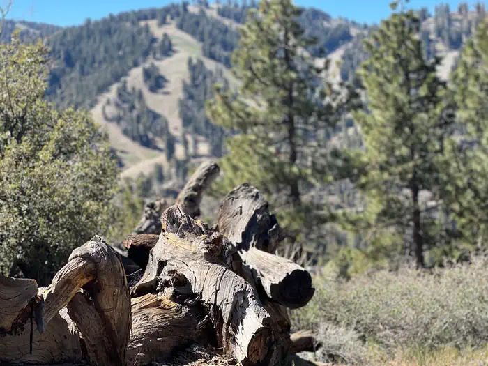
Table Mountain is set in a hilly, oak and pine forest with two large meadows and beautiful views. At an elevation of 7,000 feet, summer temperatures average in the low 80s with cool nights.
Recreation
The Table Mountain Nature Trail runs through the campground, and visitors can spot birds, squirrel, deer and the California condor.
Guidebooks for California
We earn a small commission if you buy through these links. It does not change what we list.

Titles come from Open Library's catalog, matched by subject heading or by title.
Reference
Questions people ask
Do I need a reservation at Table Mountain (Angeles)?
Sites at Table Mountain (Angeles) are reservable on Recreation.gov. Make reservations at www.recreation.gov or 1-877-444-6777. Any walk-up sites are listed on the booking page.
Source: Recreation.gov
How much does it cost to camp at Table Mountain (Angeles)?
Make reservations at www.recreation.gov or 1-877-444-6777. For more information, contact the concessionaire at Mountain High Resort at (760) 316-7828.
Source: Recreation.gov
What time is check-in at Table Mountain (Angeles)?
Check-in 2:00 PM, checkout 11:00 AM.
Source: Recreation.gov
Is Table Mountain (Angeles) open right now?
Closed for the season as of Oct 16, 2026. Season Spring to Fall.
Source: Forest Service status
How many sites does Table Mountain (Angeles) have?
178 sites, including 102 standard sites without power, 1 group shelter nonelectric, and 1 group site.
Source: Recreation.gov
Will my RV fit at Table Mountain (Angeles)?
The longest site here provides 61 feet of vehicle capacity. Most sites are shorter. The sidebar tool checks a trailer or motorhome length against every site.
Source: Will my RV fit
Are pets allowed at Table Mountain (Angeles)?
Yes, pets are allowed at Table Mountain (Angeles). Leash rules apply.
Source: Recreation.gov
Is there cell service at Table Mountain (Angeles)?
FCC coverage maps show AT&T 4G LTE and T-Mobile 5G at the campground point. Terrain changes that from one site to the next.
Source: FCC Broadband Map
What is the nearest town to Table Mountain (Angeles)?
Wrightwood, California. The Angeles Crest Highway, part of California State Route 2, is a scenic byway that meanders through oak thickets, chaparral, high desert landscapes and pine tree forests.
Source: Getting there
What if Table Mountain (Angeles) is full?
The nearest public campgrounds are Appletree Campground (1.4 mi), Peavine Campground (1.7 mi), and Blue Ridge Campground (1.8 mi, first-come).
Source: Campgrounds nearby