Jackson Flats
Jackson Flats is a group camping facility located next to beautiful Grassy Hollow Visitor Center, which holds numerous nature programs, hikes and activities on Saturdays during the summer. The peaceful setting, in the Angeles National Forest, is a short drive northeast of the bustling Los Angeles metropolitan area.
More like this: reservable in California · tent only in California · pets allowed in California · group sites in California
Check availability on Recreation.gov ↗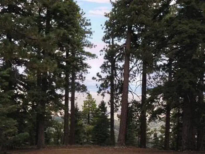

Site mix
| Group tent areas | 5 |
Site guide
5 sites. Tap a filter to narrow the list; the map follows.
| Site | Surface | People / vehicles |
|---|---|---|
| 001 | Paved | 40 / 8 |
| 002 | Paved | 40 / 8 |
| 003 | Paved | 40 / 8 |
| 004 | Paved | 30 / 6 |
| 005 | Paved | 30 / 6 |
Per-site records as published by the managing agency on Recreation.gov. Blank cells mean the agency listed nothing for that site. Check-in 02:00 PM, checkout 11:00 AM.
Amenities & rules
| Equipment | Tents |
| Pets | Allowed |
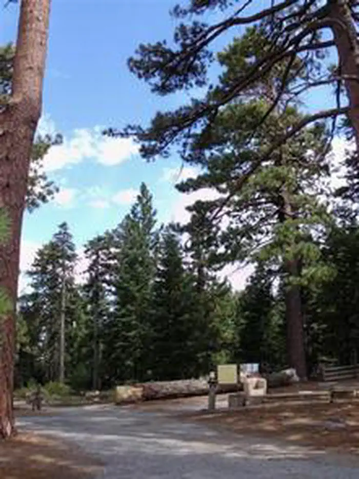
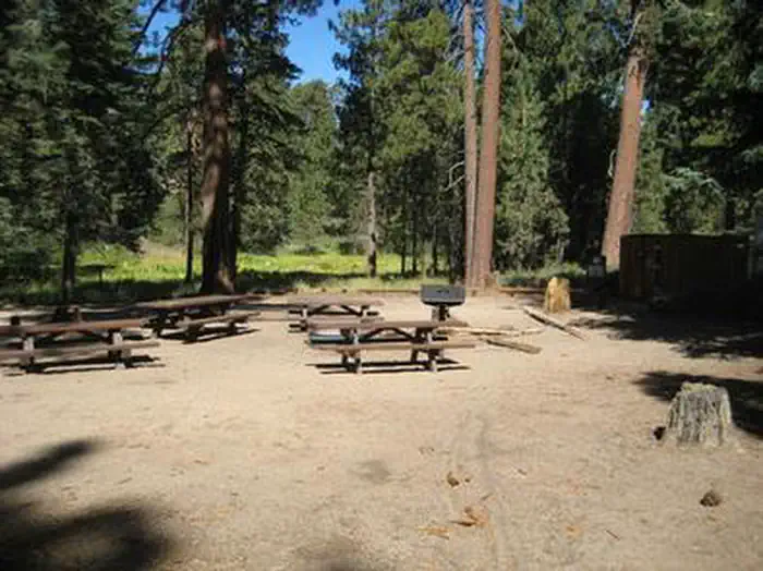
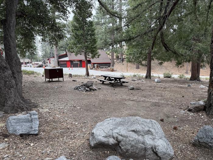
Each tent-only site is located about 600 feet from the centrally-located parking area near the campground entrance. Campers may drive into the campsites only to unload/load their gear to their site. Vehicles may not park in campsites. Each site is equipped with large picnic tables, a campfire circle, grills and bear-proof food storage lockers. Potable water is available at all campsites.
Individual sites vary. Confirm on Recreation.gov or with the managing office.
Weather by month
Getting there
From Wrightwood, turn left onto CA-2 W/Angeles Crest Highway and go 6.1 miles. Look for signs and turn right. Drive 1.2 miles past Grassy Hollow Visitor Center and into the campground.
| Coordinates | 34.3608° N, 117.7992° W · Directions ↗ |
Supplies & services
| Outdoor gear | REI ↗ | 20.1 mi |
| RV sales & service | Major RV Sales ↗ | 25.3 mi |
| Dump station | Dump station ↗ | 26 mi |
Locations © OpenStreetMap contributors. Call ahead; hours change seasonally.
Explore
Worth a stop
- The Angeles Crest Highway, part of California State Route 2, is a scenic byway that meanders through oak thickets, chaparral, high desert landscapes and pine tree forests.
- The ski resort town of Wrightwood is very close by. Restaurants and a disc golf course can be found at the North Resort.
- Take a hike on the Blue Ridge Trail or the Pacific Crest Trail. The Pacific Crest Trail is an impressive path that starts in Mexico and zigzags its way through Angeles and continues north across California, Oregon and Washington.
- 2.9 miWindy Gap Trailhead ↗Trailhead
- 2.9 miIslip Saddle Day Use Area ↗Day use
- 3.1 miFawnskin Picnic Area ↗Day use
- 3.9 miIslip Wawona Trailhead ↗Trailhead
- 9.2 miWest Fork Fishing Access Fishing Site ↗Fishing site
- 9.2 mi
Trails nearby
- 0.6 miDawson Saddle1.9 mi trail · hiking, horse, bike
- 0.6 miPCT Baden-Powell ↗6.2 mi trail · hiking, horse, bike · national_scenic_or_historic
- 0.6 miPCT Dawson Saddle ↗30.3 mi trail · hiking, horse, bike · national_scenic_or_historic
- 1.6 miHawkins Ridge Trail2 mi trail · hiking, horse, bike
- 1.8 miLimber Pines Vista0.3 mi trail · hiking, horse, bike
- 2.1 miWindy Gap Trail2.7 mi trail · hiking, horse, bike
Trailheads within three miles
- 2.9 miIslip Saddle Trailhead ↗Angeles National Forest
- 2.9 miWindy Gap Trailhead ↗Angeles National Forest
- 2.9 miMt. Baden Powell via Vincent's Gap ↗Angeles National Forest
Trail and trailhead records are the Forest Service's. Distances are straight-line to the nearer trail end. Trail conditions are not tracked here.
Public land it sits in
Sheep Mountain Wilderness begins about 1.3 miles away, and it is the closest of these.
- 1.3 miSheep Mountain Wilderness ↗Wilderness · Forest Service · 43,182 acres
- 2.3 miAngeles National Forest ↗National Forest · Forest Service · 706,719 acres
- 2.5 miPleasant View Ridge Wilderness ↗Wilderness · Forest Service · 26,839 acres
Each unit is published as a centre point and an acreage rather than a boundary, so this section stands it in for a circle of the same area. Whether a campground is inside, and how far it is from one it is outside, are both approximate.
Other campgrounds nearby


On the National Register nearby
- Fox Fullerton Theatre ComplexHistoric district · Fullerton · 13.7 mi
- DeWenter Mansion, Guest House and GroundsBuilding · La Verne · 14.6 mi
- Rubel Castle Historic DistrictHistoric district · Glendora · 14.8 mi
Natural features
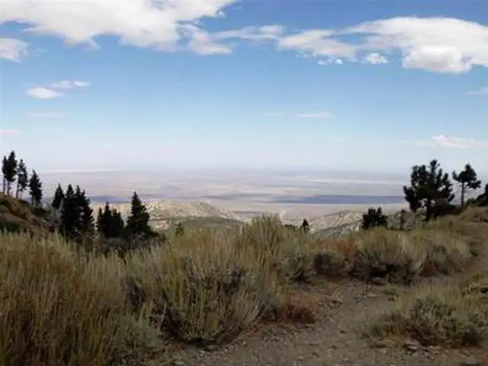
At an elevation 7,500 feet, Jackson Flats sits in grassy spaces among groves of pine and fir trees, with average summer daytime temperatures in the low 80s. Nights are cool. In Angeles National Forest, vegetation ranges from chaparral and oak at lower elevations to pine forests at higher altitudes. Elevations range from 1,200 to 10,000 feet. The endangered California condor inhabits the forest. The Least Bells vireo and the Southwestern Willow flycatcher are two migratory birds that visitors enjoy spotting in the area. Other local inhabitants include the Arroyo toad, mountain yellow-legged frog, the mountain lion and the two-striped garter snake.
Recreation
Campers can enjoy hiking, biking and relaxing in the shade. A few short trails loop around the campground and a connector trail leads to the Pacific Crest Trail. The trail stretches from Mexico through California, Oregon and Washington. Additionally, the Angeles National Forest boasts 557 miles of hiking and equestrian trails. All trails, excluding the Pacific Crest Trail, allow mountain biking as well.
Guidebooks for California
We earn a small commission if you buy through these links. It does not change what we list.

Titles come from Open Library's catalog, matched by subject heading or by title.
Reference
Questions people ask
Do I need a reservation at Jackson Flats?
Sites at Jackson Flats are reservable on Recreation.gov. Any walk-up sites are listed on the booking page.
Source: Recreation.gov
What time is check-in at Jackson Flats?
Check-in 02:00 PM, checkout 11:00 AM.
Source: Recreation.gov
How many sites does Jackson Flats have?
5 sites, including 5 group tent areas.
Source: Recreation.gov
Can I bring an RV to Jackson Flats?
Jackson Flats is listed for tents only.
Source: Recreation.gov
Are pets allowed at Jackson Flats?
Yes, pets are allowed at Jackson Flats. Leash rules apply.
Source: Recreation.gov
What is there to do at Jackson Flats?
Campers can enjoy hiking, biking and relaxing in the shade. The Recreation section on this page has the rest.
Source: Recreation
What if Jackson Flats is full?
The nearest public campgrounds are Big Rock Campground (2.3 mi, first-come), Southfork Campground (2.7 mi, first-come), and Deer Group Camp (3 mi).
Source: Campgrounds nearby