Springy Point
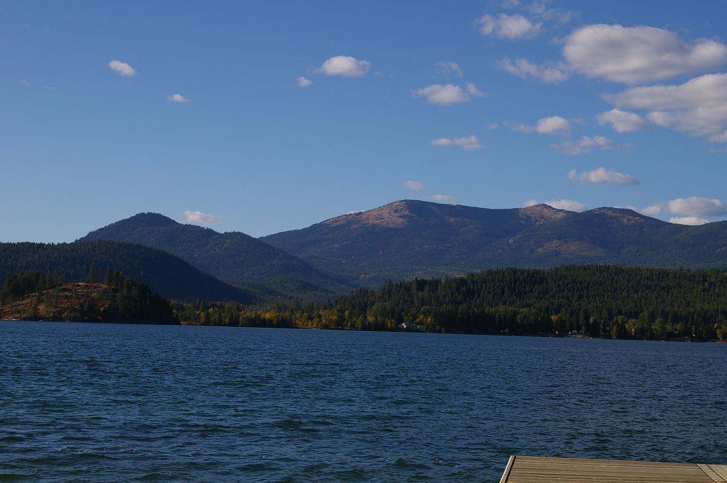
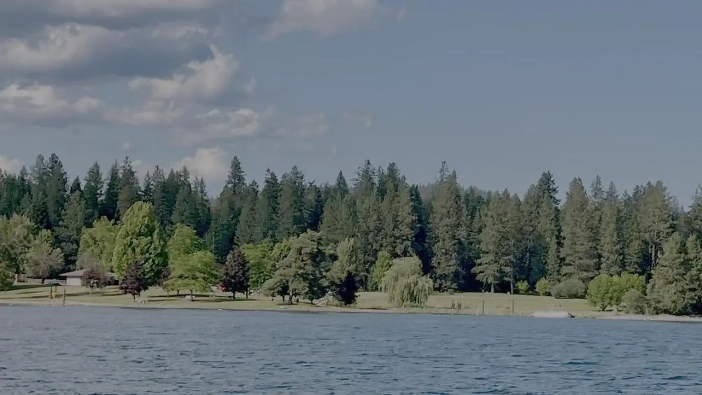
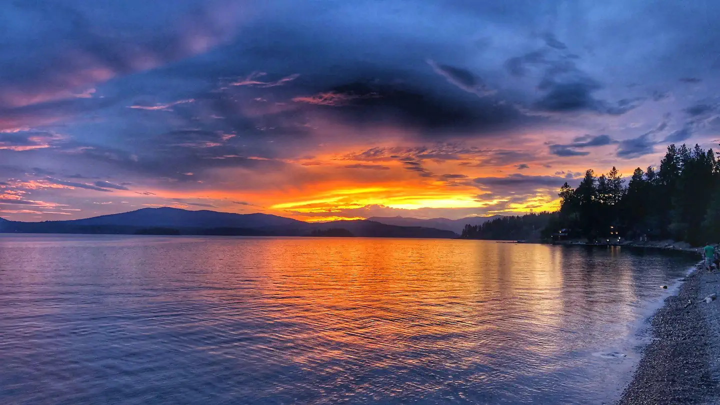
Springy Point Campground is situated amid firs, cedars and pines overlooking the Pend Oreille River with views of the Cabinet and Selkirk Mountains. The city of Sandpoint is just a short trip across the water and offers a marina, parks, shopping and plenty of sightseeing opportunities.
More like this: reservable in Idaho · big rigs in Idaho · pets allowed in Idaho · group sites in Idaho
Check availability on Recreation.gov ↗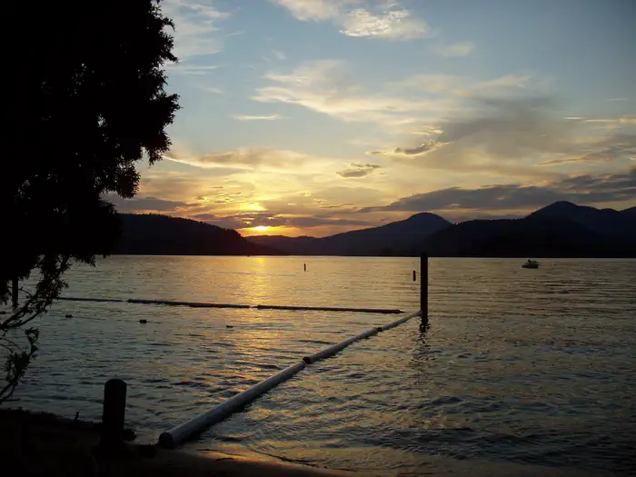
Site mix
| Standard, no hookups | 36 |
| Walk-in | 2 |
| group shelter nonelectric | 1 |
Site guide
Will my RV fit
The longest site here provides 45 feet of vehicle capacity. Most sites are shorter.
39 sites in 3 loops. Tap a filter to narrow the list; the map follows.
| Site | Loop | Type | Entry | Fits, ft | Surface | Shade | Waterfront | People / vehicles | Fires |
|---|---|---|---|---|---|---|---|---|---|
| 01 | BIRC | Standard | Back-in | 30 | Gravel | Partial | 8 / 2 | Yes | |
| 02 | BIRC | Standard | Back-in | 30 | Gravel | Partial | 8 / 2 | Yes | |
| 03 | BIRC | Standard | Back-in | 30 | Gravel | Partial | 8 / 2 | Yes | |
| 04 | BIRC | Standard | Back-in | 20 | Gravel | Partial | 8 / 2 | Yes | |
| 05 | BIRC | Standard | Pull-through | 26 | Gravel | Partial | 8 / 2 | Yes | |
| 06 | BIRC | Standard | Back-in | 30 | Gravel | Partial | 8 / 2 | Yes | |
| 07 | BIRC | Standard | Back-in | 30 | Gravel | Partial | 8 / 2 | Yes | |
| 08 | BIRC | Standard | Back-in | 30 | Gravel | Partial | 8 / 2 | Yes | |
| 09 | BIRC | Standard | Back-in | 30 | Gravel | Partial | 8 / 2 | Yes | |
| 10 | BIRC | Standard | Back-in | 20 | Gravel | Partial | 8 / 2 | Yes |
Per-site records as published by the managing agency on Recreation.gov. Blank cells mean the agency listed nothing for that site. Check-in 3:00 PM, checkout 12:00 PM.

Amenities & rules
| Hookups | None |
| Max vehicle length | 40 ft |
| Equipment | RVs & trailers, Tents |
| Pets | Allowed |
| Campfires | Allowed, subject to restrictions |
Springy Point Campground offers 38 shady campsites near the water. 36 are standard non-electric, with two walk-to sites. Amenities include drinking water, flush toilets and showers.
Individual sites vary. Confirm on Recreation.gov or with the managing office.
Weather by month
Getting there
From Sandpoint, Idaho, take US 95 south across the Long Bridge, then turn west onto Lakeshore Drive. After three miles turn right into the campground.
| Nearest town | Oldtown, Idaho |
| Coordinates | 48.2375° N, 116.5833° W · Directions ↗ |
Good to know
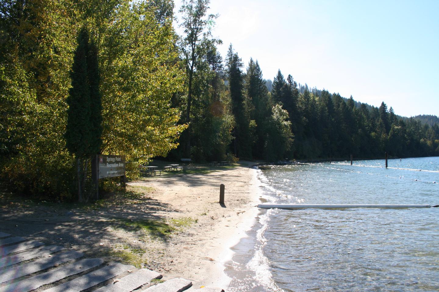
- A small picnic shelter is located off of the beach may be reserved through the recreation.gov website.
Fire nearby
- WildfireSilver
27 mi from the campground · 2,593 acres · 30% contained
- WildfireParker Lake
44 mi from the campground · 1,531 acres · 1% contained
- WildfireUpper Smith
48 mi from the campground · 4,848 acres · 41% contained
Distance is to the reported incident point, not the fire edge. Call the managing office before you drive.
Supplies & services
| Outdoor gear | North 40 ↗ | 5.3 mi |
| Dump station | Dump station ↗ | 19.1 mi |
| RV sales & service | Blue Dog RV ↗ | 33.4 mi |
Locations © OpenStreetMap contributors. Call ahead; hours change seasonally.
Explore
Video
Springy Point Campground Tour
Trails nearby
- 4 miGold Hill ↗5.3 mi trail · hiking, horse, bike, motorcycle and 2 more
- 4.2 miGold Hill Vista ↗under 0.1 mi trail · hiking, horse, bike
Trail and trailhead records are the Forest Service's. Distances are straight-line to the nearer trail end. Trail conditions are not tracked here.
Public land it sits in
This campground sits inside Idaho Panhandle National Forests.
- inIdaho Panhandle National Forests ↗National Forest · Forest Service · 2,943,333 acres
Each unit is published as a centre point and an acreage rather than a boundary, so this section stands it in for a circle of the same area. Whether a campground is inside, and how far it is from one it is outside, are both approximate.
Other campgrounds nearby
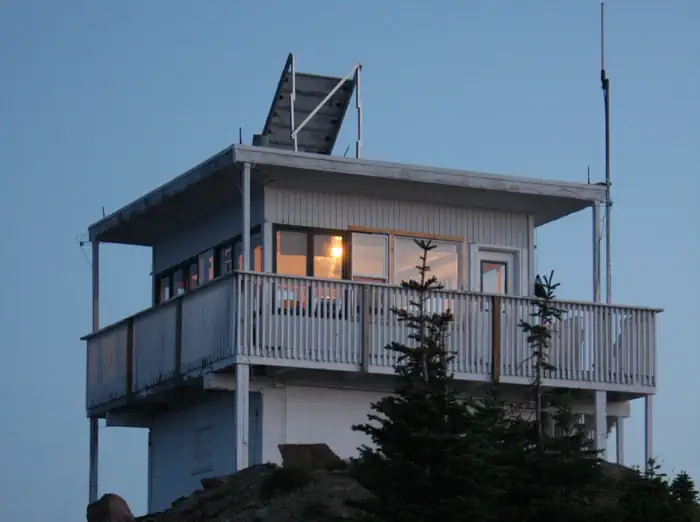
Cabin and lookout rentals nearby
On the National Register nearby
- Dover ChurchBuilding · Dover · 1.3 mi
- Sandpoint High SchoolBuilding · Sandpoint · 2.8 mi
- Charles A. and Mary Olson HouseBuilding · Sandpoint · 2.9 mi
Natural features
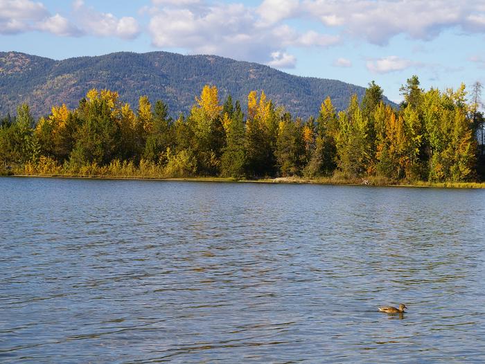
Lake Pend Oreille is a glacier-carved lake surrounded by scenic mountains in the northern Idaho Panhandle. It is one of the largest and deepest natural lakes in the western United States with depths plunging more than 1,200 ft. in some areas. The area around the Lake is the traditional home of the Kalispell Indians. French settlers named the area "Pend Oreille," which means "ear pendant," after observing the large shell earrings worn by the Kalispell people.
Recreation
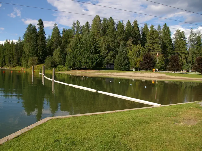
Water sports are the most popular activity at Springy Point, and with a boat ramp located on-site, kayaking, canoeing, water skiing, jet skiing and fishing are never far out of reach. A large swimming area provides visitors with comfortable access to the river's clear, clean waters. Visitors may also enjoy biking or hiking across the Long Bridge into the town of Sandpoint for a change of scenery or stroll around town. For the bird watchers or moose watchers, a short trip up to the Pack River Area to watch wildlife provides a great day trip.
Nearby
The Albeni Falls Visitor Center features exhibits on the history of the dam and the natural features of the area, with tours of the dam given Saturdays during the summer.
Guidebooks for Idaho
We earn a small commission if you buy through these links. It does not change what we list.

Titles come from Open Library's catalog, matched by subject heading or by title.
Reference
Questions people ask
Do I need a reservation at Springy Point?
Sites at Springy Point are reservable on Recreation.gov. Any walk-up sites are listed on the booking page.
Source: Recreation.gov
What time is check-in at Springy Point?
Check-in 3:00 PM, checkout 12:00 PM.
Source: Recreation.gov
How many sites does Springy Point have?
39 sites, including 36 standard sites without power, 2 walk-in sites, and 1 group shelter nonelectric.
Source: Recreation.gov
Will my RV fit at Springy Point?
The longest site here provides 40 feet of vehicle capacity. Most sites are shorter. The sidebar tool checks a trailer or motorhome length against every site.
Source: Will my RV fit
Are there showers or a dump station at Springy Point?
Amenities include drinking water, flush toilets and showers.
Source: Recreation.gov
Are pets allowed at Springy Point?
Yes, pets are allowed at Springy Point. Leash rules apply.
Source: Recreation.gov
Can I have a campfire at Springy Point?
Fires are allowed in the provided rings under normal conditions. As of 2026-10-16, there are 3 active fires within 50 miles, so check current restrictions before you light one.
Source: Fire nearby
Is there cell service at Springy Point?
FCC coverage maps show Verizon 4G LTE, AT&T 5G, and T-Mobile 5G at the campground point. Terrain changes that from one site to the next.
Source: FCC Broadband Map
What is there to do at Springy Point?
Water sports are the most popular activity at Springy Point, and with a boat ramp located on-site, kayaking, canoeing, water skiing, jet skiing and fishing are never far out of reach. The Recreation section on this page has the rest.
Source: Recreation
What is the nearest town to Springy Point?
Oldtown, Idaho. The Albeni Falls Visitor Center features exhibits on the history of the dam and the natural features of the area, with tours of the dam given Saturdays during the summer.
Source: Getting there
What if Springy Point is full?
The nearest public campgrounds are Riley Creek (10.1 mi), Sam Owen (13.9 mi), and Priest River (14.8 mi).
Source: Campgrounds nearby