Cleator Bend
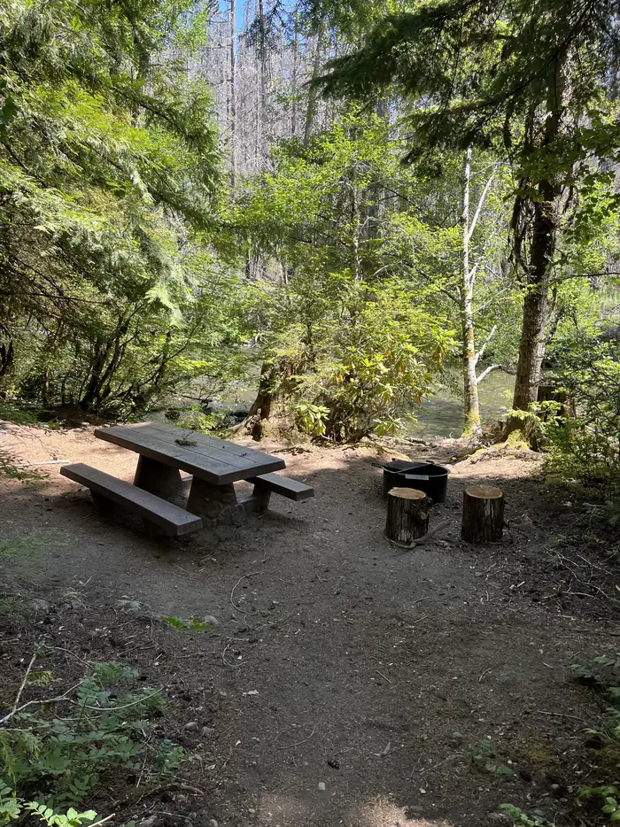
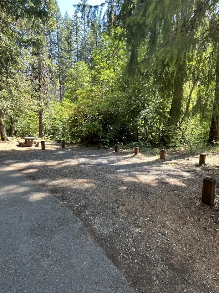
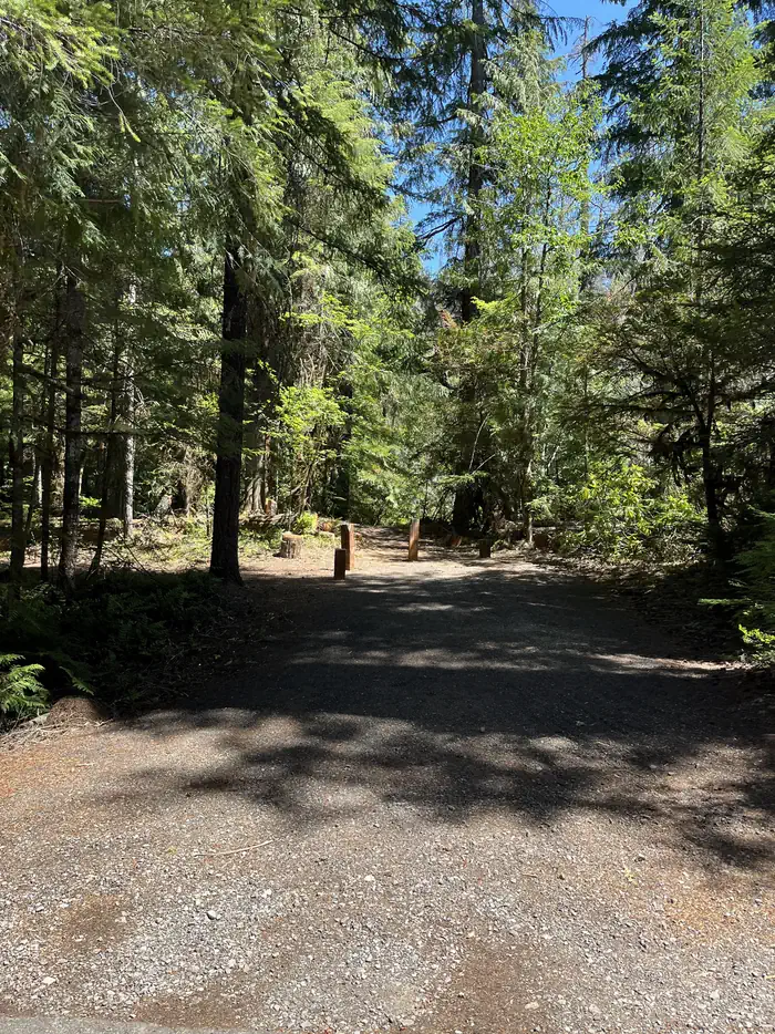
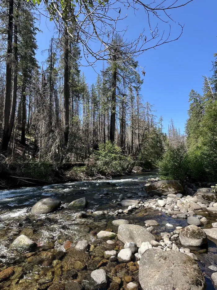
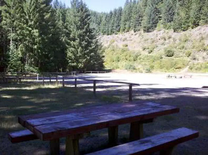
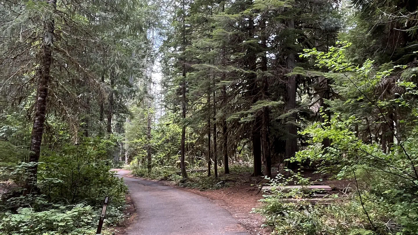
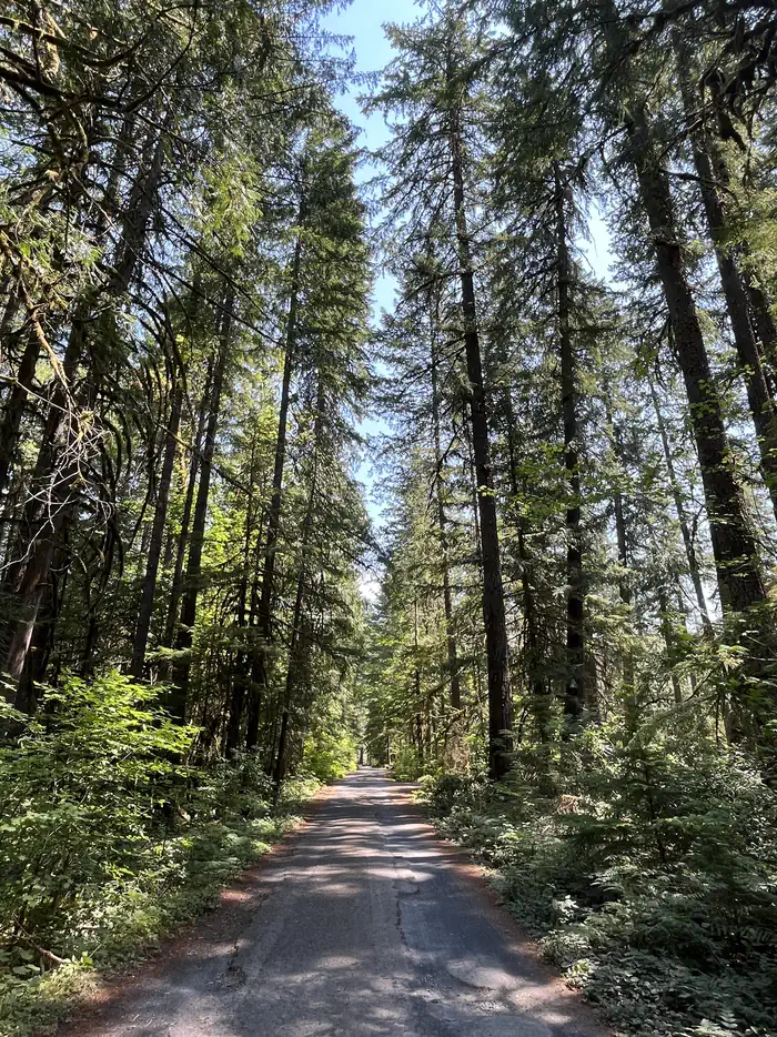
Cleator Bend Group Campground, located on a bend of the Breitenbush River, is a popular destination for camping. The group area provides an ideal base camp for fishing, hiking, biking and more. There is 1 group site which can accommodate up to 45 people. Amenities include 8 campfire rings, 8 picnic tables, and 1 vault toilet. Drinking water is temporarily unavailable within campground. Trash receptacles are located in the campground. Campfires allowed until and unless otherwise posted. Fire bans are common during summer months. Please plan accordingly.
More like this: reservable in Oregon · pets allowed in Oregon · group sites in Oregon
Check availability on Recreation.gov ↗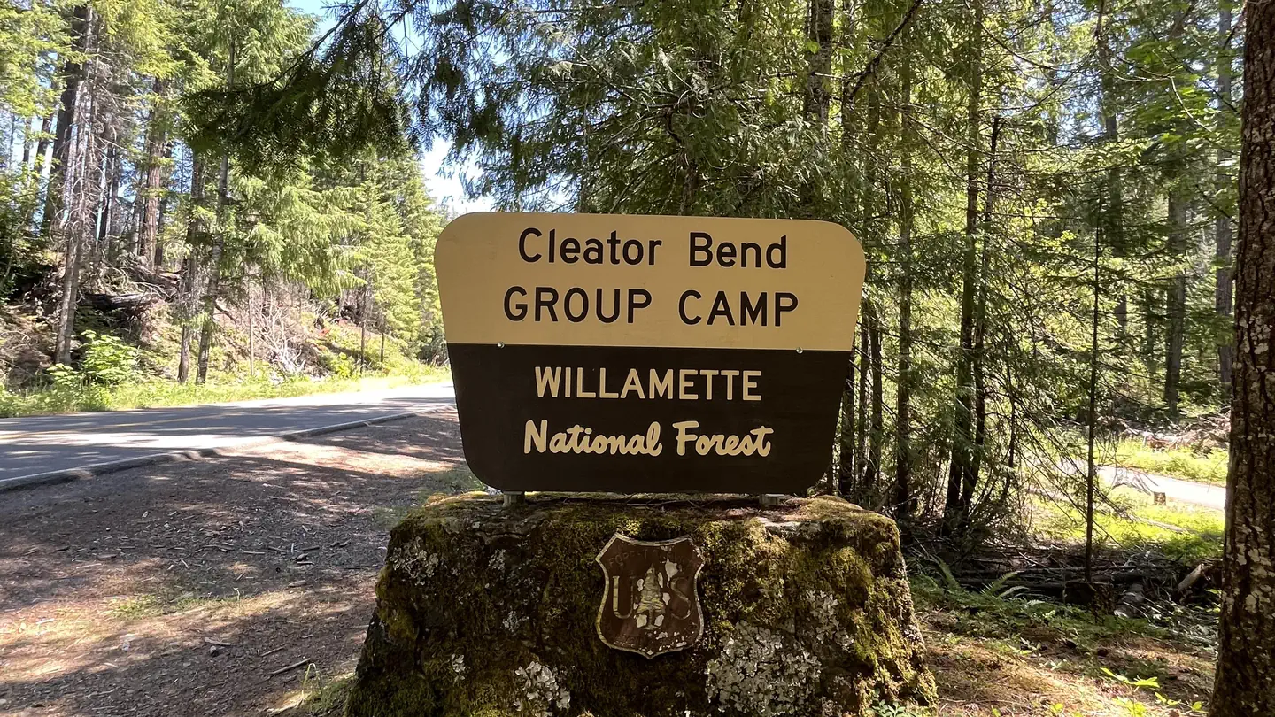
Site mix
| group standard area nonelectric | 1 |
Site guide
1 site. Tap a filter to narrow the list; the map follows.
| Site | People / vehicles |
|---|---|
| 001 | 45 / – |
Per-site records as published by the managing agency on Recreation.gov. Blank cells mean the agency listed nothing for that site. Check-in 2:00 PM, checkout 1:00 PM.
Amenities & rules
| Pets | Allowed |
Cleator Bend is a group campground on the northern banks of the river. A vault toilet is located in the middle of the camping loop and drinking water is temporarily unavailable. Trash collection, campfire rings and picnic tables are provided. The capacity for the group site is 45 guests.
Individual sites vary. Confirm on Recreation.gov or with the managing office.
Season & status
| Status | Closed for the season. Forest Service sites close for the season; check the official page for the reopening date. |
| Forest | Willamette National Forest |
| Booking | Reserve online at www.recreation.gov or phone 1.877.444.6777 |
| Fees | $170 per group per day |
| Rules | Camping is not allowed more than 14 days in a 60 day period. Check-in time: 2:00 pm or later. Check-out time: 1:00 pm. Use of chainsaws in the campground is prohibited. Dogs MUST be on leash at all times within the campground. No camping within 200 foot radius from the bridge on Forest Service Road 2231. Forest Order 18-2013-04-04 |
Weather by month
Getting there
From Highway 22 at Detroit, turn onto Breitenbush Road/Forest Service Road 46. The campground is 9.8 miles ahead on the right.
| Coordinates | 44.7780° N, 121.9994° W · Directions ↗ |
Fire nearby
- PrescribedSisi Lookout Admin Piles Rx - West
11 mi from the campground
- PrescribedSpike Timber Sale Rx - West
14 mi from the campground
- PrescribedSlow Dxp/Lemiti Rx - West
15 mi from the campground
- PrescribedGoat Stew Rx - West
16 mi from the campground
Distance is to the reported incident point, not the fire edge. Call the managing office before you drive.
Supplies & services
| Outdoor gear | Timber Town Resale ↗ | 20.5 mi |
| Dump station | Dump station ↗ | 39.6 mi |
| RV sales & service | RV sales & service ↗ | 47.3 mi |
Locations © OpenStreetMap contributors. Call ahead; hours change seasonally.
Explore
Video
EXPLORING CLEATOR IN ARIZONA
Worth a stop
The South Breitenbush Gorge Trail is three miles from the campground. Here, hikers can view the river passing through basalt narrows. During the hike, look for a log footbridge that crosses Roaring Creek's cascading waters.
- 7 miBattle Ax Creek Trailhead ↗Trailhead
- 7.3 miUpper Arm Day Use Area ↗Day use
- 10.6 mi
- 14.2 miOpal Creek Trailhead (Gate) ↗Trailhead
Trails nearby
- 2.2 miSouth Breitenbush Gorge ↗4.7 mi trail · hiking, horse, bike
- 2.3 miMcCoy #6.1 - Boulder Viewpoint1 mi trail · snowmobile, snowshoe, ski
- 2.8 miMcCoy #4 - Timber Butte Route2.8 mi trail · snowmobile, snowshoe, ski
- 3.6 miMcCoy #6 - Boulder Ridge Route ↗9 mi trail · snowmobile, snowshoe, ski
- 3.6 miMcCoy #8 - Bullfrog Route2 mi trail · snowmobile, snowshoe, ski
- 3.6 miMcCoy #50.5 mi trail · snowmobile, snowshoe, ski
Trailheads within three miles
- 2.2 miSouth Breitenbush Gorge Trailhead ↗Willamette National Forest
Trail and trailhead records are the Forest Service's. Distances are straight-line to the nearer trail end. Trail conditions are not tracked here.
Public land it sits in
Bull of the Woods Wilderness begins about 4.2 miles away, and it is the closest of these.
- 4.2 miBull of the Woods Wilderness ↗Wilderness · Forest Service · 36,879 acres
- 6.1 miOpal Creek Wilderness ↗Wilderness · Forest Service · 20,777 acres
- 7.9 miMount Jefferson Wilderness ↗Wilderness · Forest Service · 109,098 acres
Each unit is published as a centre point and an acreage rather than a boundary, so this section stands it in for a circle of the same area. Whether a campground is inside, and how far it is from one it is outside, are both approximate.
Other campgrounds nearby
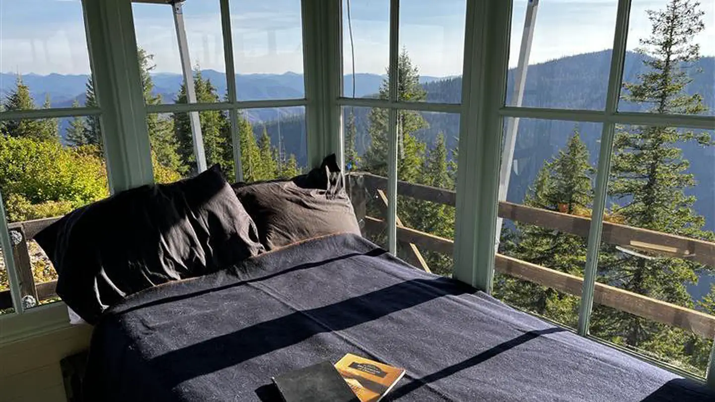
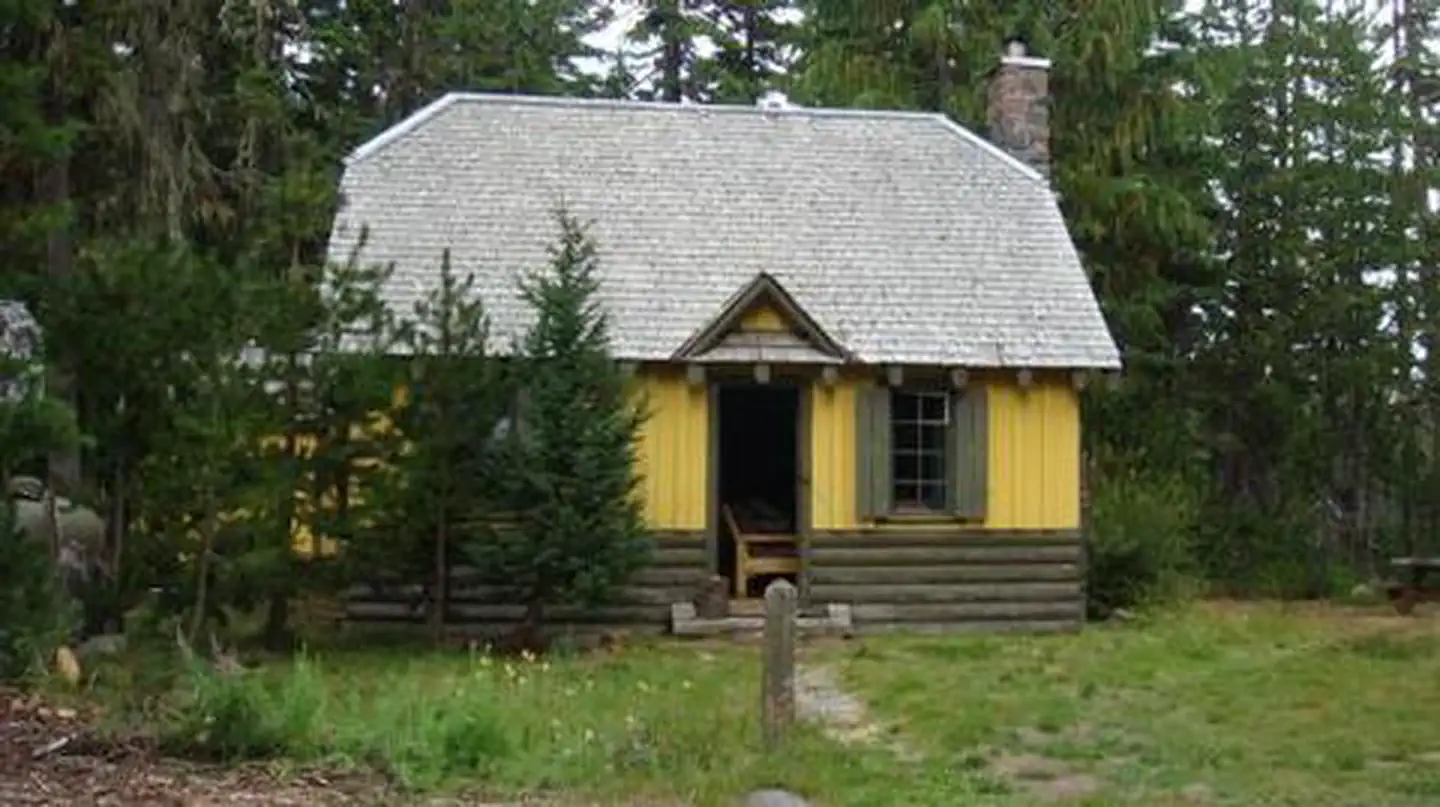
Cabin and lookout rentals nearby
On the National Register nearby
- Olallie Lake Guard StationBuilding · Estacada · 10.5 mi
- Independence Prairie Ranger StationBuilding · Marion Forks · 11.5 mi
- Marion Forks Guard StationBuilding · Marion Forks · 11.6 mi
Natural features
The Breitenbush River is a tributary of the North Santiam River. The clean waters flow from snow melt in the Mount Jefferson Wilderness. The campground lies in the Willamette National Forest, which stretches 110 miles along the western slopes of the Cascade Range.
Recreation
The river is a popular spot for wading, swimming and rainbow trout fishing.
Guidebooks for Oregon
We earn a small commission if you buy through these links. It does not change what we list.

Titles come from Open Library's catalog, matched by subject heading or by title.
Reference
Questions people ask
Do I need a reservation at Cleator Bend?
Sites at Cleator Bend are reservable on Recreation.gov. Reserve online at www.recreation.gov or phone 1.877.444.6777 Any walk-up sites are listed on the booking page.
Source: Recreation.gov
How much does it cost to camp at Cleator Bend?
$170 per group per day
Source: Recreation.gov
What time is check-in at Cleator Bend?
Check-in 2:00 PM, checkout 1:00 PM.
Source: Recreation.gov
Is Cleator Bend open right now?
Closed for the season as of Oct 16, 2026.
Source: Forest Service status
How many sites does Cleator Bend have?
1 site, including 1 group standard area nonelectric.
Source: Recreation.gov
Are pets allowed at Cleator Bend?
Yes, pets are allowed at Cleator Bend. Leash rules apply.
Source: Recreation.gov
What if Cleator Bend is full?
The nearest public campgrounds are Breitenbush Campground (0.5 mi, partly first-come), Fox Creek Group Camp (2.5 mi), and Humbug Campground (3.9 mi, partly first-come).
Source: Campgrounds nearby