Lookout Butte Lookout
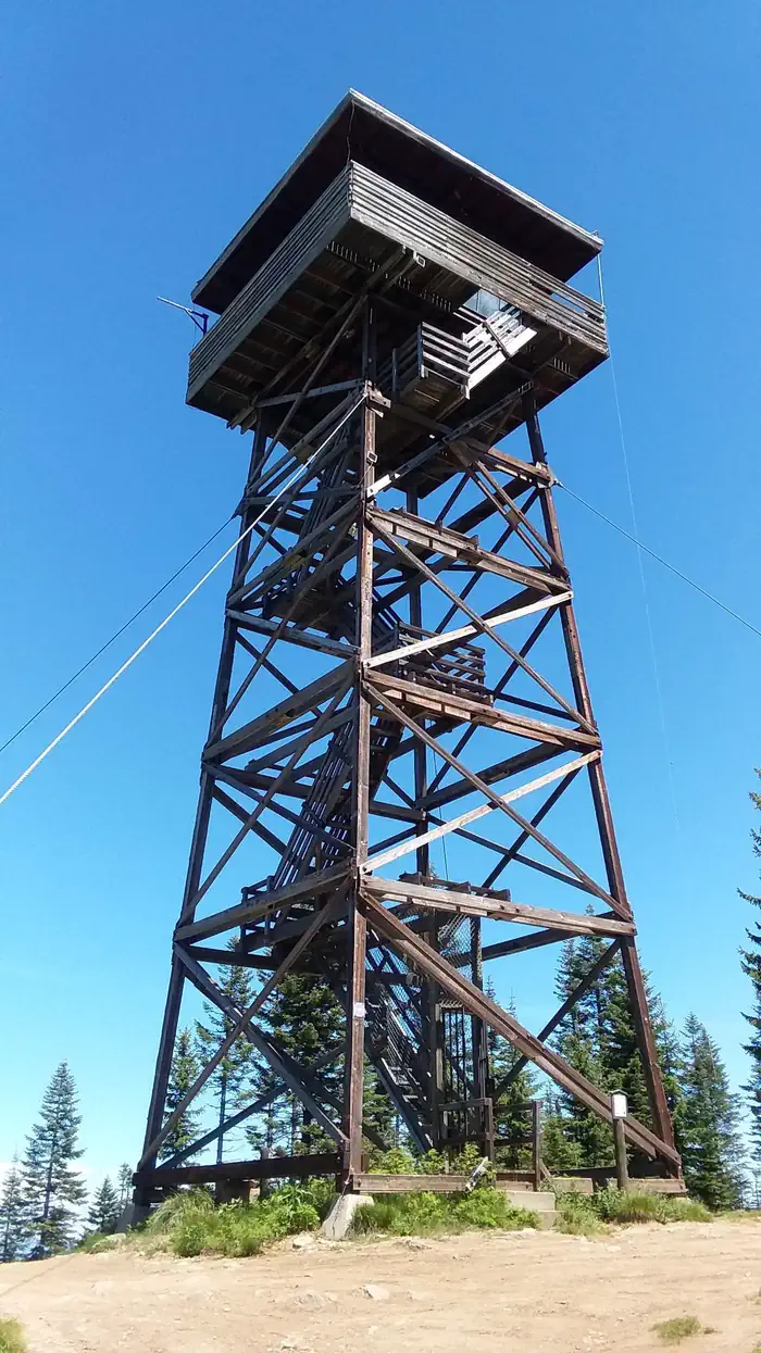
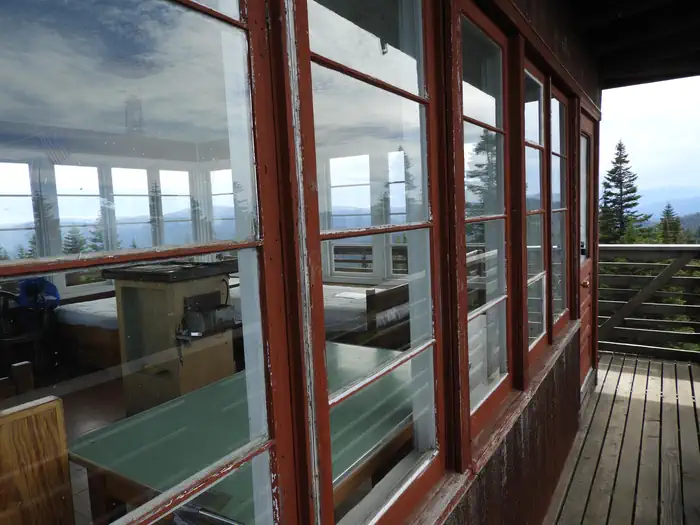
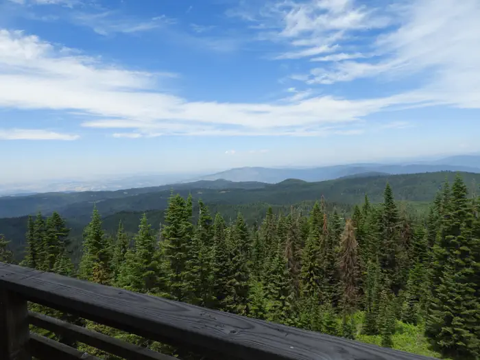
Lookout Butte has a history that spans nearly 80 years and has been home to three lookout towers. The first, built in 1923, was 45 feet tall with just a platform on which to stand. A cabin was put on the tower a couple years later. In 1935, a 50-foot tower was constructed. A new tower was built beside the old one in 1962, and this is currently available for rent. The current 60-foot wooden tower offers panoramic views and the perfect setting for enjoying the area's tranquility and natural beauty. Guests can enjoy the scenery from the exterior catwalk or from inside the single-room cabin.
Check availability on Recreation.gov ↗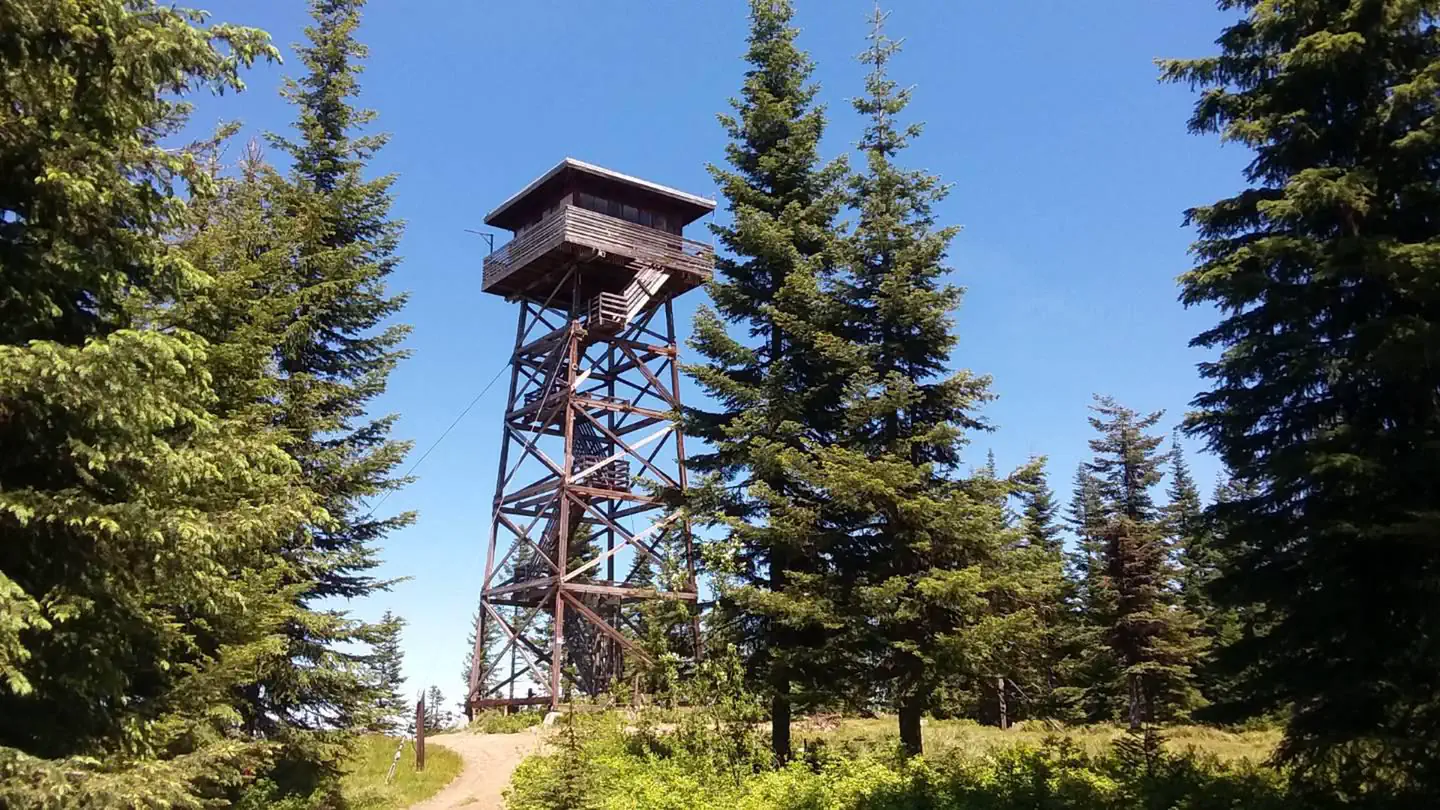
Site mix
| Fire lookouts | 1 |
Site guide
1 site. Tap a filter to narrow the list; the map follows.
| Site | Surface | People / vehicles | Fires |
|---|---|---|---|
| LB1 | Gravel | 4 / 1 | Yes |
Per-site records as published by the managing agency on Recreation.gov. Blank cells mean the agency listed nothing for that site. Check-in 02:00 PM, checkout 2:00 PM.
Amenities & rules
The lookout has room for up to four people and comes with two twin beds with foam mattresses and two cots. Other amenities include a propane stove and oven, a table and chairs, a broom, a bucket and a mop. A pit toilet sits downhill to the south of the lookout, and there's a campfire ring near the base. Guests should be prepared to haul supplies up five flights of stairs. Guests are required to bring their own drinking water. Other recommended supplies include food, sleeping bags or bedding, coolers, cookware and utensils, dishes, warm clothing and rain gear, flashlights, extra batteries, first aid kit, matches, toilet paper, garbage bags and the combination for the lookout and gate.
Individual sites vary. Confirm on Recreation.gov or with the managing office.
Weather by month
Getting there
Travel to Lowell, Idaho, located approximately midway between Lewiston, Idaho and Missoula, Montana on Highway 12, milepost 97. Cross the Selway Bridge, drive 3.5 miles and cross the Swiftwater Bridge on your right. Follow the signs 13 miles for about 1 hour to the lookout.
| Nearest town | Kooskia, Idaho |
| Coordinates | 45.4893° N, 115.8746° W · Directions ↗ |
Fire nearby
- PrescribedBrush Rx
34 mi from the campground · 150 acres
- PrescribedMeadow Marsh Rx
40 mi from the campground · 70 acres
- PrescribedGoose Rx
41 mi from the campground · 529 acres
- PrescribedCold Rx
45 mi from the campground · 1,094 acres
Distance is to the reported incident point, not the fire edge. Call the managing office before you drive.
Supplies & services
| Outdoor gear | Rae Bros. Sporting Goods ↗ | 32.3 mi |
Locations © OpenStreetMap contributors. Call ahead; hours change seasonally.
Explore
Worth a stop
Guests can take a sightseeing drive from Lowell to Selway Falls and back. This 42-mile drive offers opportunities to appreciate the pristine beauty of the Selway River, a Wild and Scenic River, as well as picturesque Selway Falls.
- 14.5 miAllison Creek Picnic Area ↗Day use
Trails nearby
- under 0.1 miBlack Butte L.o0.3 mi trail
- 0.6 miJohnson Saddle ↗5.3 mi trail
- 1.5 miJohnson Saddle Cutoff1.6 mi trail
- 2.2 miHanover Mountain ↗8.7 mi trail
- 2.3 miJohnson Saddle Stock0.9 mi trail
- 2.8 miLovell Gulch2.4 mi trail
Trail and trailhead records are the Forest Service's. Distances are straight-line to the nearer trail end. Trail conditions are not tracked here.
Public land it sits in
This campground sits inside Gospel-Hump Wilderness, which overlaps Payette National Forest.
- inGospel-Hump Wilderness ↗Wilderness · Forest Service · 205,395 acres
- inPayette National Forest ↗National Forest · Forest Service · 2,407,306 acres
- 9.9 miNez Perce-Clearwater National Forest ↗National Forest · Forest Service · 4,072,795 acres
Each unit is published as a centre point and an acreage rather than a boundary, so this section stands it in for a circle of the same area. Whether a campground is inside, and how far it is from one it is outside, are both approximate.
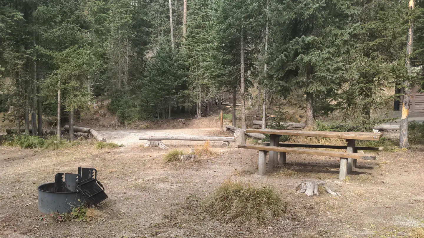
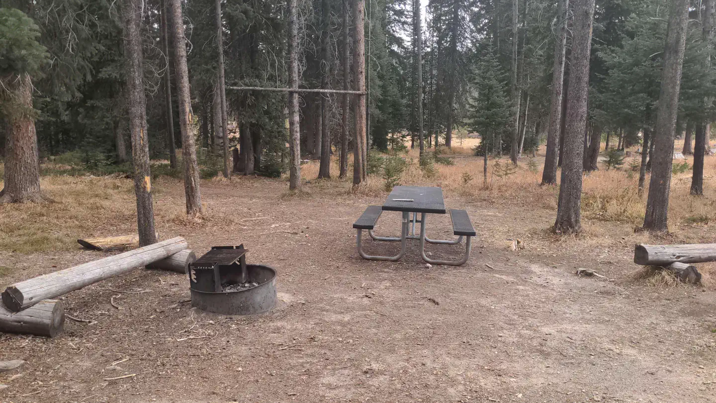
Other campgrounds nearby


Cabin and lookout rentals nearby
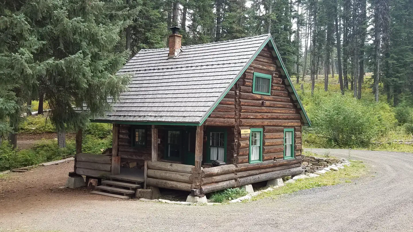
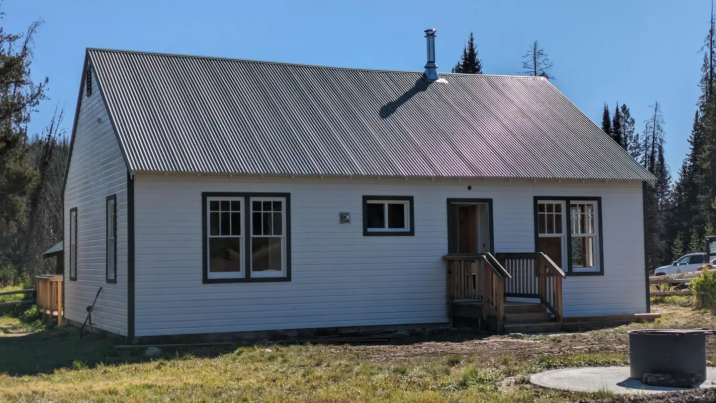
On the National Register nearby
- Carey Dome Fire LookoutBuilding · Burgdorf · 6.2 mi
Natural features
The lookout sits at 5,869 feet in elevation with breathtaking views of the Selway Crags in the Selway-Bitterroot Wilderness area, the Seven Devils Mountain Range, Coolwater Ridge, Pilot Knob Lookout and the Lochsa and Selway River drainages.
Recreation
Several primitive roads in the area are open to mountain biking and off-road vehicles. Other activities in the area include hiking through second-growth forest and birding.
Guidebooks for Idaho
We earn a small commission if you buy through these links. It does not change what we list.

Titles come from Open Library's catalog, matched by subject heading or by title.
Reference
Questions people ask
Do I need a reservation at Lookout Butte Lookout?
Sites at Lookout Butte Lookout are reservable on Recreation.gov. Any walk-up sites are listed on the booking page.
Source: Recreation.gov
What time is check-in at Lookout Butte Lookout?
Check-in 02:00 PM, checkout 2:00 PM.
Source: Recreation.gov
How many sites does Lookout Butte Lookout have?
1 site, including 1 lookout.
Source: Recreation.gov
What is there to do at Lookout Butte Lookout?
Several primitive roads in the area are open to mountain biking and off-road vehicles. The Recreation section on this page has the rest.
Source: Recreation
What is the nearest town to Lookout Butte Lookout?
Kooskia, Idaho. Guests can take a sightseeing drive from Lowell to Selway Falls and back.
Source: Getting there
What if Lookout Butte Lookout is full?
The nearest public campgrounds are Rocky Bluff Campground (12.1 mi, first-come), Spring Bar Campground (13.6 mi, first-come), and Jeanette (14.7 mi, first-come).
Source: Campgrounds nearby