Cottonwood Creek
Cottonwood Creek Campground is located on Highway 89, four miles south of Sierraville. Its location makes it a great base camp for a variety of recreational activities, including fishing, hunting, hiking and biking. This facility is operated and maintained by Lake Tahoe Hospitality LLC for the Tahoe National Forest.
More like this: reservable in California · big rigs in California · pets allowed in California
Check availability on Recreation.gov ↗
Site mix
| Standard, no hookups | 48 |
Site guide
Will my RV fit
The longest site here provides 45 feet of vehicle capacity. Most sites are shorter.
48 sites. Tap a filter to narrow the list; the map follows.
| Site | Entry | Fits, ft | Surface | Shade | People / vehicles | Fires | Rating |
|---|---|---|---|---|---|---|---|
| 001 | Back-in | 35 | Paved | Partial | 6 / 1 | Yes | Standard |
| 002 | Back-in | 40 | Paved | Partial | 6 / 1 | Yes | Standard |
| 003 | Back-in | 40 | Paved | Partial | 6 / 1 | Yes | Standard |
| 004 | Back-in | 40 | Paved | Partial | 6 / 1 | Yes | Standard |
| 005 | Back-in | 25 | Paved | Partial | 6 / 1 | Yes | Standard |
| 006 | Back-in | 35 | Paved | Partial | 6 / 1 | Yes | Standard |
| 007 | Back-in | 25 | Paved | Partial | 6 / 1 | Yes | Standard |
| 008 | Back-in | 35 | Paved | Partial | 6 / 1 | Yes | Standard |
| 009 | Back-in | 25 | Paved | Partial | 6 / 1 | Yes | Standard |
| 010 | Back-in | 40 | Paved | Partial | 6 / 1 | Yes | Standard |
Per-site records as published by the managing agency on Recreation.gov. Blank cells mean the agency listed nothing for that site. Check-in 2:00 PM, checkout 12:00 PM.
Amenities & rules
| Hookups | None |
| Max vehicle length | 45 ft |
| Equipment | RVs & trailers, Tents |
| Pets | Allowed |
| Campfires | Allowed, subject to restrictions |
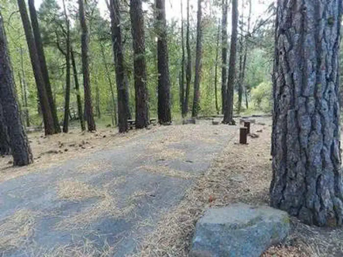
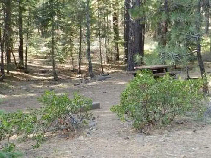
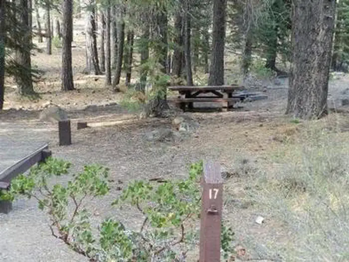
The campground offers several single-family campsites, each equipped with a picnic table and campfire ring. Vault toilets, drinking water and trash collection are provided.
Individual sites vary. Confirm on Recreation.gov or with the managing office.
Season & status
| Season | May 24 to October 14 |
| Forest | Tahoe National Forest |
| Booking | Reservations available online at www.recreation.gov up to six months in advance. |
| Fees | $20.00 per site $5 for extra vehicle |
| Rules | No day use parking. Camping outside designated campground is prohibited in this area. Off-road vehicle use is prohibited within the campground. Fire restrictions may be imposed at any time due to hot, dry weather conditions, at which time campfires and charcoal files may not be allowed. Bears frequent the area; all food must be stored in approved containers. |
Weather by month
Getting there
From Truckee, travel north on Highway 80 to Highway 89 approximately 20 miles to the campground. From Sierraville, travel approximately 5 miles south on Hwy 89, the campground will be on the left side of the highway.
| Nearest town | Sierraville, California |
| Coordinates | 39.5494° N, 120.3164° W · Directions ↗ |
Fire nearby
- PrescribedTmu Rx Support
47 mi from the campground
Distance is to the reported incident point, not the fire edge. Call the managing office before you drive.
Supplies & services
| Outdoor gear | Upcycled Adventures ↗ | 15.6 mi |
| Dump station | Dump station ↗ | 18.9 mi |
| RV sales & service | RV sales & service ↗ | 37.5 mi |
Locations © OpenStreetMap contributors. Call ahead; hours change seasonally.
Explore
Video
Cottonwood Creek Campground - Tahoe National Forest, CA
Worth a stop
Lake Tahoe is located about 40 minutes from the campground. Scenic Tahoe offers excellent boating, kayaking, fishing, hiking and scenic driving opportunities. Sardine Lakes, within the beautiful Lakes Basin, is a 35-minute drive northwest of the campground, via the Golden Chain/Highway 49. Stampede Reservoir is a 45-minute drive southeast.
- 3.6 mi
- 13.2 miProsser Pits Ohv Area ↗OHV / range
- 14.6 mi
- 14.6 miDonner Summit Day Use Area ↗Day use
Trails nearby
- under 0.1 miCottonwood Botanical0.5 mi trail · hiking, horse, bike
- 0.2 miCottonwood Overlook0.8 mi trail · hiking, horse, bike
- 0.3 miCottonwood Fisherman3.4 mi trail · hiking, horse, bike
- 1 miCottonwood Moto Trail0.7 mi trail · hiking, horse, bike, motorcycle and 1 more
- 1.5 miCottonwood OHV1 mi trail · hiking, horse, bike, motorcycle and 3 more
- 1.6 miCottonwood OHV Spur1 mi trail · hiking, horse, bike, motorcycle and 3 more
Trail and trailhead records are the Forest Service's. Distances are straight-line to the nearer trail end. Trail conditions are not tracked here.
Public land it sits in
This campground sits inside Tahoe National Forest.
- inTahoe National Forest ↗National Forest · Forest Service · 1,181,139 acres
- 11 miPlumas National Forest ↗National Forest · Forest Service · 1,431,953 acres
Each unit is published as a centre point and an acreage rather than a boundary, so this section stands it in for a circle of the same area. Whether a campground is inside, and how far it is from one it is outside, are both approximate.
Other campgrounds nearby
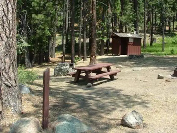

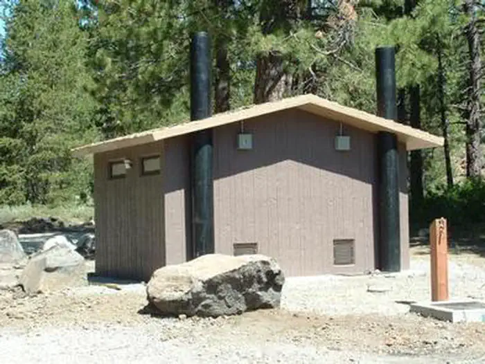
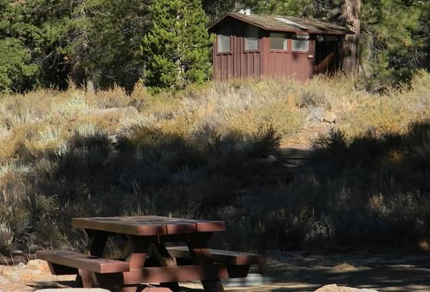
Cabin and lookout rentals nearby
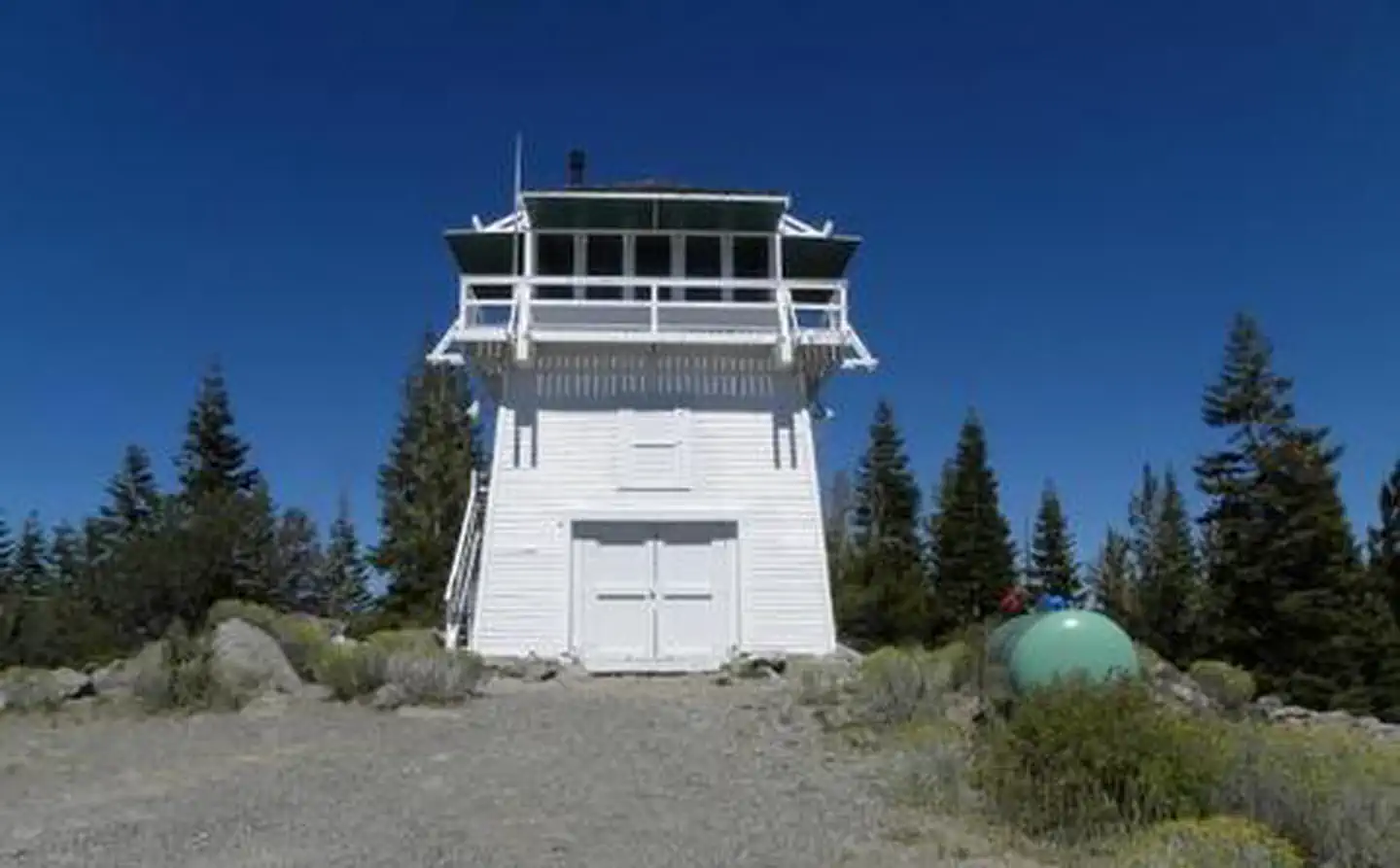
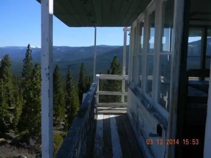
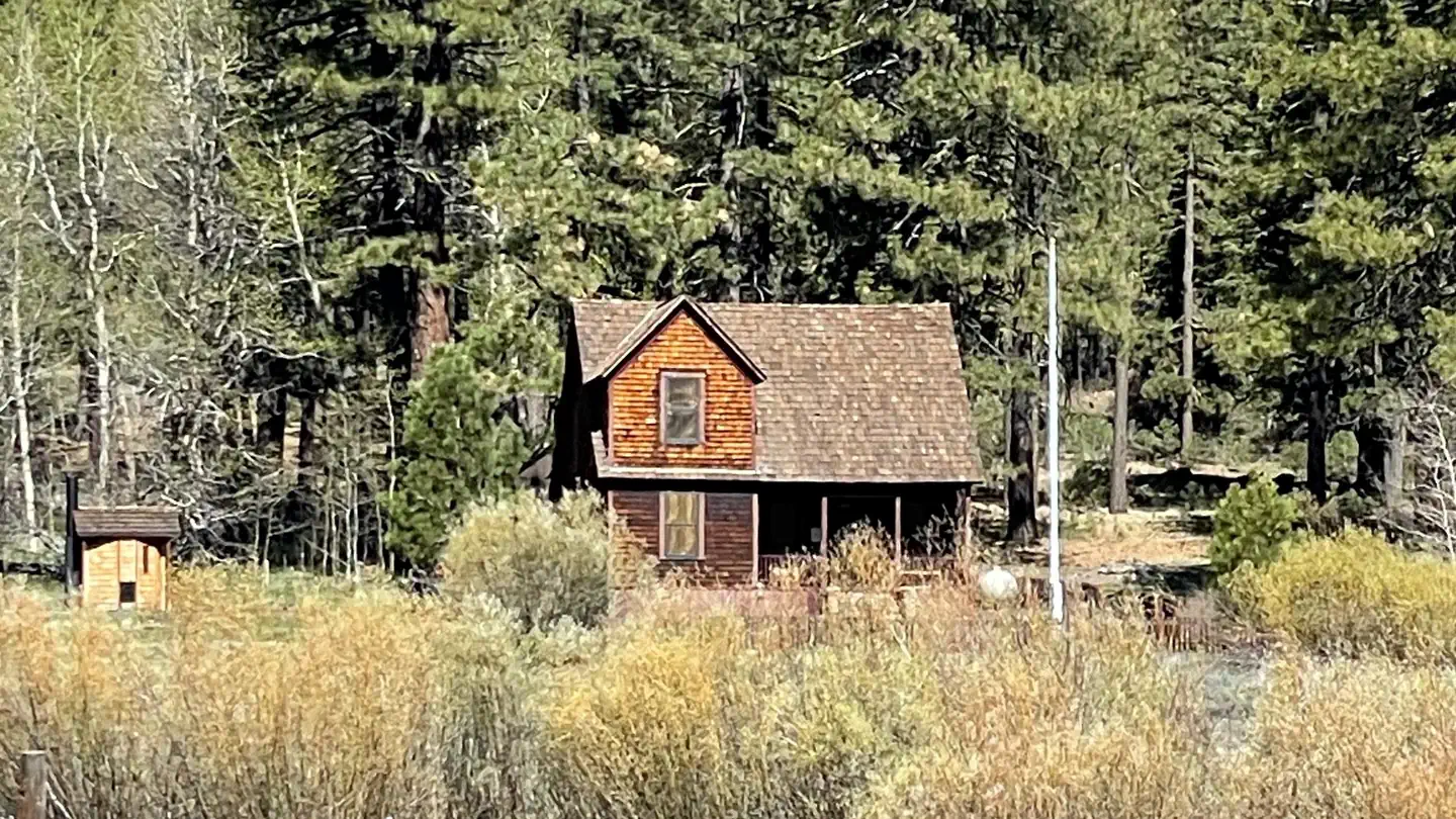
On the National Register nearby
- Sierraville SchoolBuilding · Sierraville · 3.7 mi
- Webber Lake HotelBuilding · Sierraville · 8.4 mi
Natural features
The campground sits along Cottonwood Creek, in a stand of Jeffrey pine, and red and white fir trees. The forest provides shade and privacy between sites, but noise from the highway can be heard within the campground.
Recreation
Cottonwood Creek Botanical Trail and Overlook Trail are both short, foot trails that begin in the campground. The surrounding area offers additional trails and fishing opportunities.
Guidebooks for California
We earn a small commission if you buy through these links. It does not change what we list.

Titles come from Open Library's catalog, matched by subject heading or by title.
Reference
Questions people ask
Do I need a reservation at Cottonwood Creek?
Sites at Cottonwood Creek are reservable on Recreation.gov. Reservations available online at www.recreation.gov up to six months in advance. Any walk-up sites are listed on the booking page.
Source: Recreation.gov
How much does it cost to camp at Cottonwood Creek?
$20.00 per site $5 for extra vehicle
Source: Recreation.gov
What time is check-in at Cottonwood Creek?
Check-in 2:00 PM, checkout 12:00 PM.
Source: Recreation.gov
How many sites does Cottonwood Creek have?
48 sites, including 48 standard sites without power.
Source: Recreation.gov
Will my RV fit at Cottonwood Creek?
The longest site here provides 45 feet of vehicle capacity. Most sites are shorter. The sidebar tool checks a trailer or motorhome length against every site.
Source: Will my RV fit
Are pets allowed at Cottonwood Creek?
Yes, pets are allowed at Cottonwood Creek. Leash rules apply.
Source: Recreation.gov
Can I have a campfire at Cottonwood Creek?
Fires are allowed in the provided rings under normal conditions. As of 2026-10-16, there is 1 active fire within 50 miles, so check current restrictions before you light one. No day use parking.
Source: Fire nearby
What is there to do at Cottonwood Creek?
Cottonwood Creek Botanical Trail and Overlook Trail are both short, foot trails that begin in the campground. The Recreation section on this page has the rest.
Source: Recreation
What is the nearest town to Cottonwood Creek?
Sierraville, California. Lake Tahoe is located about 40 minutes from the campground.
Source: Getting there
What if Cottonwood Creek is full?
The nearest public campgrounds are Cold Creek (0.5 mi), Bear Valley Campground (4.3 mi, first-come), and Upper Little Truckee (5.5 mi).
Source: Campgrounds nearby