Sardine Peak Lookout
Sardine Peak is a forest fire lookout tower that was constructed in 1935 by the Civilian Conservation Corps. It is a three story enclosed tower with external stairs. Presently the top room or observation cab is the only rentable space. Sardine sits at an elevation of 8,138 feet in the Eastern Sierra Nevada Mountains of Tahoe National Forest, approximately 20 miles from Truckee, California. The lookout does not have electricity, water or garbage service. It does have a propane tank to operate propane-powered appliances.
Check availability on Recreation.gov ↗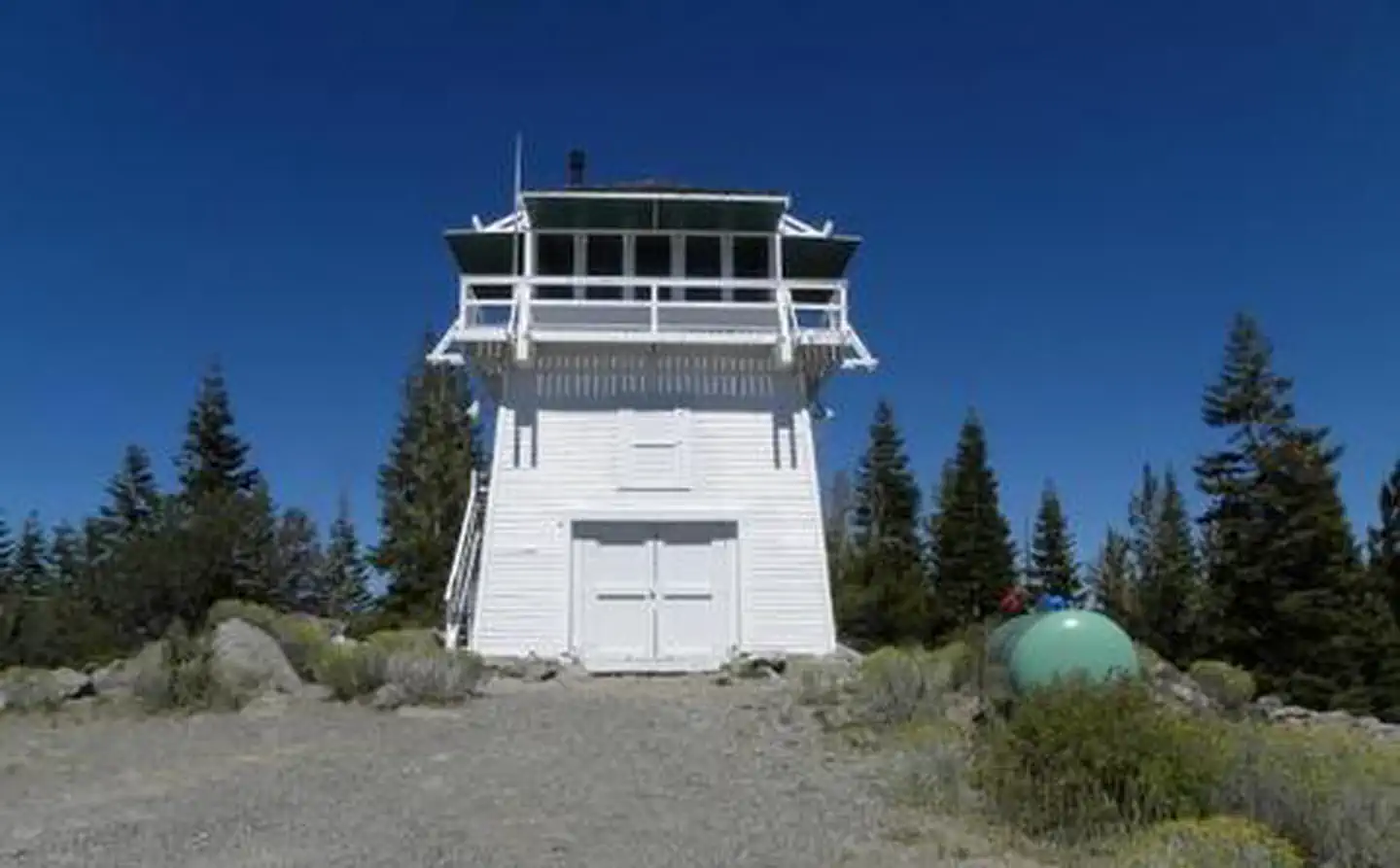
Site mix
| Fire lookouts | 1 |
Site guide
1 site. Tap a filter to narrow the list; the map follows.
| Site | Entry | Fits, ft | Surface | People / vehicles | Fires | Rating |
|---|---|---|---|---|---|---|
| 01 | Back-in | 100 | Gravel | 4 / 2 | Yes | Prime |
Per-site records as published by the managing agency on Recreation.gov. Blank cells mean the agency listed nothing for that site. Check-in 1:00 PM, checkout 12:00 PM.
Amenities & rules
| Max vehicle length | 15 ft |
| Pets | Allowed |
| Campfires | Allowed, subject to restrictions |
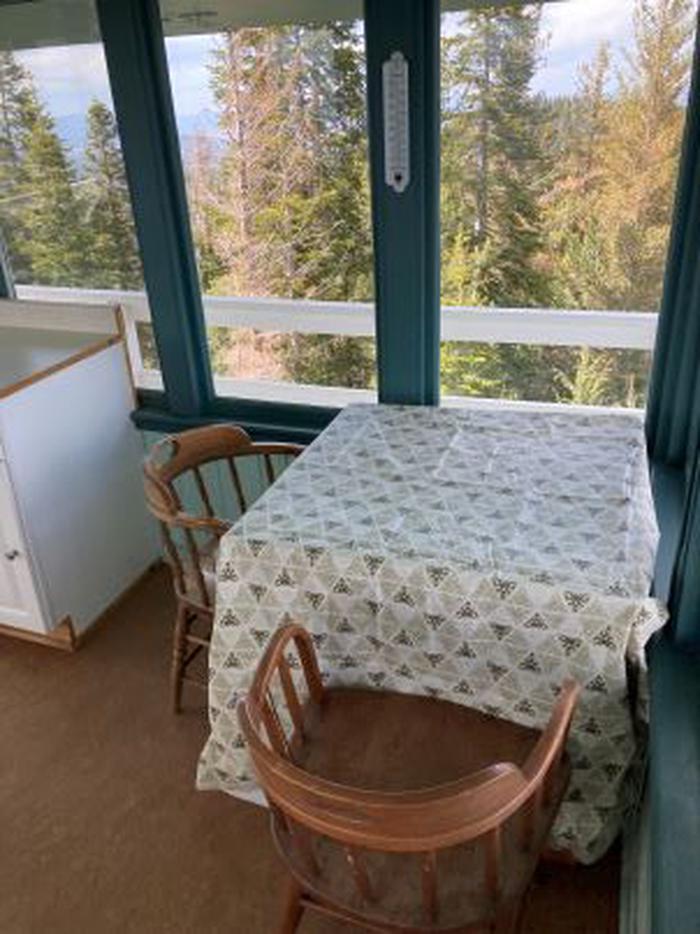
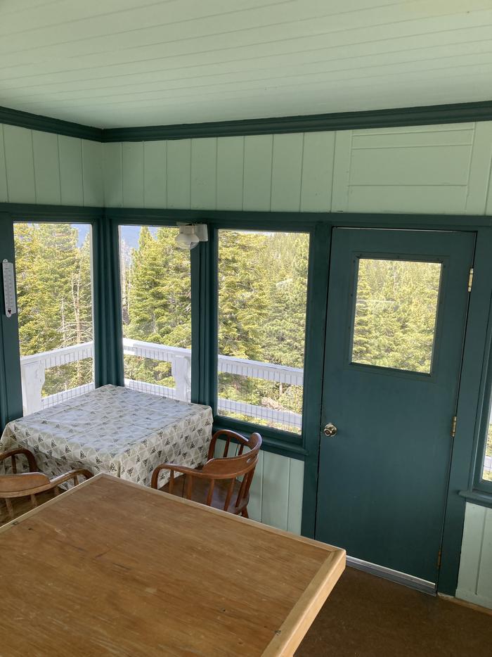
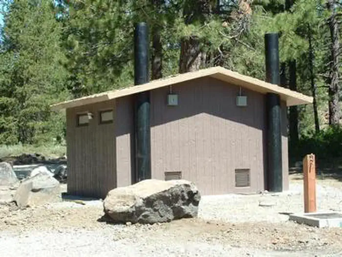
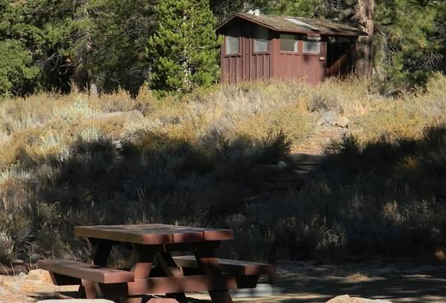
The interior of the cab is 14 feet long and 14 feet wide and contains two twin beds, a dry sink, a table and four chairs, two propane lights, a propane cast iron heat stove and a propane stove/oven for cooking. A limited assortment of cooking utensils, pots and pans are provided. There is an accessible vault toilet, a picnic table and fire ring are located outside below the lookout. Visitors need to bring their own bedding, toilet paper and other personal items.
Individual sites vary. Confirm on Recreation.gov or with the managing office.
Weather by month
Getting there
From the Sierraville Ranger District Office, proceed south on Highway 89 for 12 miles to Sierra County Road S450. Turn left onto road S450 and proceed east for 4 miles to Sierra County Road S650, the Lemon Canyon Road.
| Nearest town | Sierraville, California |
| Coordinates | 39.5402° N, 120.1879° W · Directions ↗ |
Good to know
- Firewood is not provided.
Fire nearby
- PrescribedTmu Rx Support
44 mi from the campground
Distance is to the reported incident point, not the fire edge. Call the managing office before you drive.
Supplies & services
| Outdoor gear | Cabela's ↗ | 11.8 mi |
| Dump station | Dump station ↗ | 12.1 mi |
| RV sales & service | RV sales & service ↗ | 32.1 mi |
Locations © OpenStreetMap contributors. Call ahead; hours change seasonally.
Explore
Worth a stop
Kyburz Flat Interpretive Area, The Boca Townsite Interpretive Area, and a mountain bike loop within Sardine Valley are all nearby.
- 5.6 mi
- 10.6 miProsser Pits Ohv Area ↗OHV / range
- 13.4 mi
Trails nearby
- 1.5 miWinch Hill Shortcut0.2 mi trail · hiking, horse, bike, motorcycle and 3 more
- 1.6 miBear Valley OHV Connector0.08 mi trail · hiking, horse, bike, motorcycle and 3 more
- 1.8 miKnob Hill0.7 mi trail · hiking, horse, bike, motorcycle and 3 more
- 2.4 miBall Peen0.07 mi trail · hiking, horse, bike, motorcycle and 3 more
- 2.5 miOld Muck0.4 mi trail · hiking, horse, bike, motorcycle and 3 more
- 2.8 miKyburz2 mi trail · snowshoe, ski
Trail and trailhead records are the Forest Service's. Distances are straight-line to the nearer trail end. Trail conditions are not tracked here.
Public land it sits in
This campground sits inside Tahoe National Forest.
- inTahoe National Forest ↗National Forest · Forest Service · 1,181,139 acres
- 13.7 miMt. Rose Wilderness ↗Wilderness · Forest Service · 31,223 acres
Each unit is published as a centre point and an acreage rather than a boundary, so this section stands it in for a circle of the same area. Whether a campground is inside, and how far it is from one it is outside, are both approximate.
Other campgrounds nearby


Cabin and lookout rentals nearby
On the National Register nearby
- 1872 California-Nevada State Boundary MarkerObject · Verdi · 10 mi
- Sierraville SchoolBuilding · Sierraville · 10.1 mi
- Boca DamStructure · Truckee · 11.5 mi
Natural features
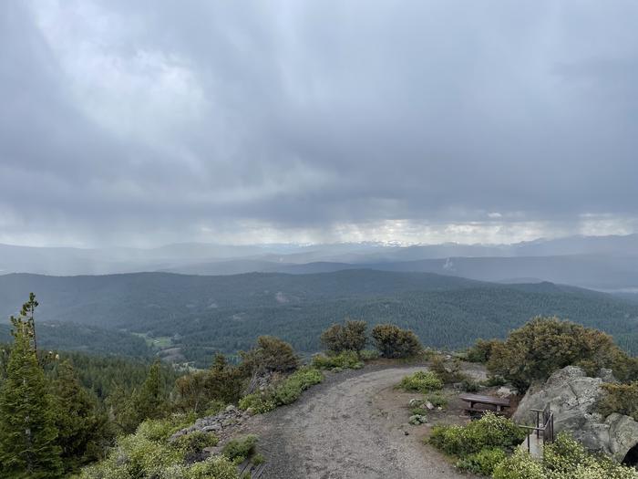
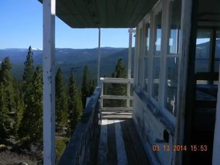
The lookout tower sits on a mountain top with spectacular views of Stampede Reservoir, Boca Reservoir, Sardine Valley, Independence Lake, the top of the Sierra Buttes and western Nevada.
Recreation
Hiking, mountain biking and off road vehicle use are popular around this lookout. Stampede and Boca Reservoirs are nearby for fishing, boating and swimming.
Guidebooks for California
We earn a small commission if you buy through these links. It does not change what we list.

Titles come from Open Library's catalog, matched by subject heading or by title.
Reference
Questions people ask
Do I need a reservation at Sardine Peak Lookout?
Sites at Sardine Peak Lookout are reservable on Recreation.gov. Any walk-up sites are listed on the booking page.
Source: Recreation.gov
What time is check-in at Sardine Peak Lookout?
Check-in 1:00 PM, checkout 12:00 PM.
Source: Recreation.gov
How many sites does Sardine Peak Lookout have?
1 site, including 1 lookout.
Source: Recreation.gov
Will my RV fit at Sardine Peak Lookout?
The longest site here provides 15 feet of vehicle capacity. Most sites are shorter. The sidebar tool checks a trailer or motorhome length against every site.
Source: Will my RV fit
Are pets allowed at Sardine Peak Lookout?
Yes, pets are allowed at Sardine Peak Lookout. Leash rules apply.
Source: Recreation.gov
Can I have a campfire at Sardine Peak Lookout?
Fires are allowed in the provided rings under normal conditions. As of 2026-10-16, there is 1 active fire within 50 miles, so check current restrictions before you light one.
Source: Fire nearby
Is there cell service at Sardine Peak Lookout?
FCC coverage maps show AT&T 4G LTE and T-Mobile 4G LTE at the campground point. Terrain changes that from one site to the next.
Source: FCC Broadband Map
What is there to do at Sardine Peak Lookout?
Hiking, mountain biking and off road vehicle use are popular around this lookout. The Recreation section on this page has the rest.
Source: Recreation
What is the nearest town to Sardine Peak Lookout?
Sierraville, California. Kyburz Flat Interpretive Area, The Boca Townsite Interpretive Area, and a mountain bike loop within Sardine Valley are all nearby.
Source: Getting there
What if Sardine Peak Lookout is full?
The nearest public campgrounds are Bear Valley Campground (2.8 mi, first-come), Upper Little Truckee (4.5 mi), and Lower Little Truckee (4.6 mi).
Source: Campgrounds nearby