Adams Fork Campground
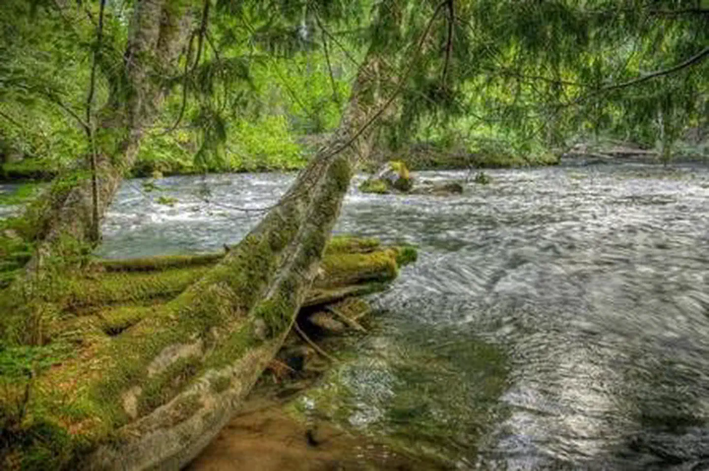
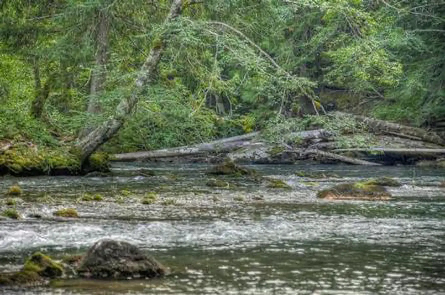
Nestled among tall conifers on the Adams Creek Fork of the Cispus River, Adams Fork Campground offers single sites for tent and RV camping, as well as three double sites, with several of the sites sitting along the banks of the river. Adams Fork Campground makes an excellent base from which to explore Mount St. Helens and the surrounding area. Nearby multi-use trails offer a myriad of recreational activities, in addition to trout fishing in the Cispus River.
Some sites take reservations on Recreation.gov. Others are first-come, first-served.
More like this: first-come in Washington · reservable in Washington · big rigs in Washington · pets allowed in Washington
Check availability on Recreation.gov ↗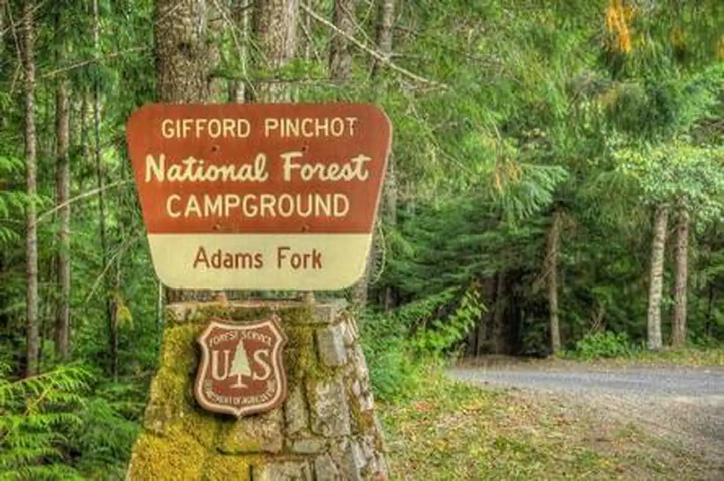
Site mix
| Standard, no hookups | 23 |
| Host/management | 1 |
Site guide
Will my RV fit
The longest site here provides 42 feet of vehicle capacity. Most sites are shorter.
23 sites. Tap a filter to narrow the list; the map follows.
| Site | Entry | Fits, ft | Surface | Shade | Water / sewer | Waterfront | People / vehicles | Fires |
|---|---|---|---|---|---|---|---|---|
| 002 | Back-in | 20 | Gravel | Partial | No / No | 6 / 1 | Yes | |
| 003 | Back-in | 30 | Gravel | Partial | No / No | 6 / 1 | Yes | |
| 004 | Back-in | 35 | Paved | Partial | No / No | 6 / 1 | Yes | |
| 005 | Back-in | 28 | Gravel | Partial | No / No | 6 / 1 | Yes | |
| 006 | Back-in | 25 | Gravel | Partial | No / No | 6 / 1 | Yes | |
| 007 | Back-in | 24 | Gravel | Partial | No / No | 6 / 1 | Yes | |
| 008 | Back-in | 24 | Gravel | Partial | No / No | 6 / 1 | Yes | |
| 009 | Back-in | 30 | Gravel | Partial | No / No | 6 / 1 | Yes | |
| 010 | Back-in | 30 | Gravel | Partial | No / No | 6 / 1 | Yes | |
| 011 | Back-in | 42 | Gravel | Partial | No / No | Riverfront | 20 / 2 | Yes |
Per-site records as published by the managing agency on Recreation.gov. Blank cells mean the agency listed nothing for that site. Check-in 2:00 PM, checkout 12:00 PM.
Amenities & rules
| Hookups | None |
| Max vehicle length | 42 ft |
| Equipment | RVs & trailers, Tents |
| Pets | Allowed |
| Campfires | Allowed, subject to restrictions |
| Tent pads | Yes |
| Fees | Extra Vehicle Fee $8.00 |
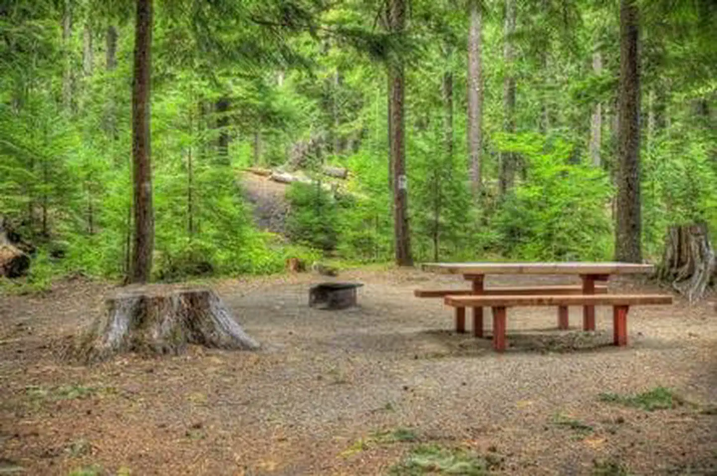
This campground consists of 24 paved back in sites, including three double sites that can accommodate 12 to 25 campers. Many of the sites are small but still usable by RVs, with a maximum parking spur length of 30 feet. There are no water or electric hook-ups, but drinking water and vault toilets are provided. Fire rings are provided. Nearby ORV trails, the campground is popular with ORV riders. Campers should expect riders coming and going from the campground.
Individual sites vary. Confirm on Recreation.gov or with the managing office.
Season & status
| Status | Open |
| Forest | Gifford Pinchot National Forest |
| Booking | Make reservations at Recreation.gov, or by calling 1-877-444-6777, up to 6 months in advance. |
| Fees | Camping: Single Site: $25/night. Double Site: $45/night. Extra Vehicle:$8/vehicle |
| Rules | 14-day stay limit. Maximum vehicle length 22' feet. No riding ORVs in camp. Follow state fishing regulations: Washington Department of Fish and Wildlife |
Weather by month
Getting there
Take I-5 to State Highway 12 and exit at Randle, Washington. Follow State Highway 131 for 1 mile, staying left at the fork, and continuing on Forest Service Road 23. Stay left at next fork for Forest Service Road 21 to Forest Service Road 56 to arrive at the campground.
| Nearest town | Randle, Washington |
| Coordinates | 46.3389° N, 121.6469° W · Directions ↗ |
Charges and cancellations
Cancellations Individual Campsites: Cancellations up to 2 days before a reservation start date incur a $10.00 cancellation fee. A visitor who cancels a reservation the day before or on the day of arrival will pay a $10.00 service fee AND forfeit the first night's use fee including tax and applicable add-on for a campsite. Cancellations for a one-night reservation will forfeit the entire amount paid and will not be subject to an additional service fee. No-Shows A no-show visitor is one who does not arrive at a campground and does not cancel the reservation by check-out time on the day after the scheduled arrival date. Staff will hold a campsite until check-out time on the day following the arrival date. No-shows are assessed $20.00 service fee and forfeit the first night's rate, taxes and applicable add-on for a campsite. Refunds will not be issued after the 7 days has ended. Refunds for debit or credit card payments will be issued as a credit to the original bank or credit card used to pay.
Fire nearby
- WildfireHigh Lava
39 mi from the campground · 2,899 acres · 95% contained
- WildfireWest Fork
42 mi from the campground · 310 acres · 16% contained
- PrescribedTracy Hill Rx
43 mi from the campground · 28 acres
- PrescribedTop Of The World Rx
44 mi from the campground
Distance is to the reported incident point, not the fire edge. Call the managing office before you drive.
Supplies & services
| Dump station | Dump station ↗ | 14.9 mi |
| Outdoor gear | RMI Expeditions - Mountaineering Guide Service ↗ | 34.5 mi |
| RV sales & service | RV sales & service ↗ | 51.5 mi |
Locations © OpenStreetMap contributors. Call ahead; hours change seasonally.
Explore
Video
Adams Fork Campground
Worth a stop
The nearby town of Randle offers an access point to the Windy Ridge viewpoint at Mount St. Helens.
- 4 miTrailhead: Chain-Of-Lakes ↗Trailhead
- 9.1 miTrailhead: Jackpot Lake ↗Trailhead
- 10.2 mi
Trails nearby
- 0.2 mi5601 Snowmobile ↗6.3 mi trail
- 0.5 miBlue Lake Ridge ↗9.8 mi trail
- 0.6 miCat Creek Short Loop0.7 mi trail
- 1.1 miValley ↗15.5 mi trail
- 1.1 miHamilton Buttes ↗6.8 mi trail
- 1.5 miGreen Mountain ↗5.7 mi trail
Trailheads within three miles
- 3 miTrailhead: Lily Basin Stock ↗Gifford Pinchot National Forest
Trail and trailhead records are the Forest Service's. Distances are straight-line to the nearer trail end. Trail conditions are not tracked here.
Public land it sits in
This campground sits inside Gifford Pinchot National Forest.
- inGifford Pinchot National Forest ↗National Forest · Forest Service · 1,496,308 acres
- 5.2 miMount Adams Wilderness ↗Wilderness · Forest Service · 47,123 acres
- 9.3 miGoat Rocks Wilderness ↗Wilderness · Forest Service · 108,020 acres
Each unit is published as a centre point and an acreage rather than a boundary, so this section stands it in for a circle of the same area. Whether a campground is inside, and how far it is from one it is outside, are both approximate.
Other campgrounds nearby

On the National Register nearby
- North Fork Guard Station No. 1142Building · Randle · 10.3 mi
Natural features
Located in southwest Washington State, the Gifford Pinchot National Forest encompasses over 1.3 million acres, including the 110,000-acre Mount St. Helens National Volcanic Monument established by Congress in 1982. Adams Fork is part of the Cowlitz Valley Ranger District, which is located in the northernmost portion of the Gifford Pinchot National Forest in southwest Washington. This Ranger District manages four Wilderness Areas including the Goat Rocks Wilderness, Glacier View Wilderness, Tatoosh Wilderness and William O Douglass Wilderness. The Cispus River originates in a high glacial valley in the Goat Rocks Wilderness, and flows through heavily forested areas before meeting the North Fork and flowing westerly past many trails and campgrounds.
Recreation
Part of the Randle Recreation Area, Adams Fork Campground is an ideal location for many recreational activities. The Valley Trail network, popular with dirt bikes and ATVs, offers 50 miles of multi-use trails close to this campground. Hikers, horseback riders and mountain bikers can also use the Valley Trail, which offers views of the Cispus River Valley and Tongue Mountain and anglers can fish for brook trout in the Cispus River.
Guidebooks for Washington
We earn a small commission if you buy through these links. It does not change what we list.
Titles come from Open Library's catalog, matched by subject heading or by title.
Reference
Questions people ask
Do I need a reservation at Adams Fork Campground?
For some sites. Some sites take reservations on Recreation.gov. Others are first-come, first-served.
Source: Recreation.gov
How much does it cost to camp at Adams Fork Campground?
Extra Vehicle Fee $8.00
Source: Recreation.gov
What time is check-in at Adams Fork Campground?
Check-in 2:00 PM, checkout 12:00 PM.
Source: Recreation.gov
What does it cost to cancel a reservation at Adams Fork Campground?
Cancellations Individual Campsites: Cancellations up to 2 days before a reservation start date incur a $10.00 cancellation fee.
Source: Charges and cancellations
Is Adams Fork Campground open right now?
Open as of Oct 16, 2026.
Source: Forest Service status
How many sites does Adams Fork Campground have?
24 sites, including 23 standard sites without power.
Source: Recreation.gov
Will my RV fit at Adams Fork Campground?
The longest site here provides 42 feet of vehicle capacity. Most sites are shorter. The sidebar tool checks a trailer or motorhome length against every site.
Source: Will my RV fit
Are pets allowed at Adams Fork Campground?
Yes, pets are allowed at Adams Fork Campground. Leash rules apply.
Source: Recreation.gov
Can I have a campfire at Adams Fork Campground?
Fires are allowed in the provided rings under normal conditions. As of 2026-10-16, there are 4 active fires within 50 miles, so check current restrictions before you light one. 14-day stay limit.
Source: Fire nearby
What is there to do at Adams Fork Campground?
Part of the Randle Recreation Area, Adams Fork Campground is an ideal location for many recreational activities. The Recreation section on this page has the rest.
Source: Recreation
What is the nearest town to Adams Fork Campground?
Randle, Washington. The nearby town of Randle offers an access point to the Windy Ridge viewpoint at Mount St.
Source: Getting there
What if Adams Fork Campground is full?
The nearest public campgrounds are Olallie Lake Campground (3.5 mi, first-come), Cody Horsecamp (4.1 mi, first-come), and Horseshoe Lake Campground (4.4 mi, first-come).
Source: Campgrounds nearby