Cody Horsecamp
This campground features 16 pull-through campsites in a stand of lodgepole pine and mixed conifers and includes a mounting assist ramp and water trough. All sites have highline poles and long pull-through parking. The many trees provide plenty of shade, but not much space for portable corrals. There is also a day use trailhead for the Klickitat Loop Trail #7A within the campground. Heading south on the Klickitat riders can tie into to the Spring Creek Trail #115 and the High Lakes Trail #116.
Sites are first-come, first-served. Recreation.gov lists this campground for paying on site, and you may be able to pay with the Scan and Pay feature of its app.
More like this: first-come in Washington · tent only in Washington

Amenities & rules
| Equipment | Tents |
| Fees | Camping: $23/Site Extra Vehicle: $8 |
This campground features 16 pull-through campsites in a stand of lodgepole pine and mixed conifers and includes a mounting assist ramp and water trough. All sites have highline poles and long pull-through parking. The many trees provide plenty of shade, but not much space for portable corrals. There is also a day use trailhead for the Klickitat Loop Trail #7A within the campground. Heading south on the Klickitat riders can tie into to the Spring Creek Trail #115 and the High Lakes Trail #116.
Individual sites vary. Confirm on Recreation.gov or with the managing office.
Season & status
| Status | Closed for the season. Forest Service sites close for the season; check the official page for the reopening date. |
| Forest | Gifford Pinchot National Forest |
| Booking | For more information please call ExplorUS (661) 702-1420. |
| Fees | Camping: $23/Site Extra Vehicle: $8 |
| Rules | Maximum vehicle length is 35 feet. |
Weather by month
Getting there
| Coordinates | 46.3634° N, 121.5692° W · Directions ↗ |
Fire nearby
- WildfireWest Fork
41 mi from the campground · 310 acres · 16% contained
- WildfireHigh Lava
42 mi from the campground · 2,899 acres · 95% contained
- PrescribedTracy Hill Rx
44 mi from the campground · 28 acres
- PrescribedTop Of The World Rx
44 mi from the campground
Distance is to the reported incident point, not the fire edge. Call the managing office before you drive.
Supplies & services
| Dump station | Dump station ↗ | 15.5 mi |
| Outdoor gear | RMI Expeditions - Mountaineering Guide Service ↗ | 35.2 mi |
| RV sales & service | RV sales & service ↗ | 47.4 mi |
Locations © OpenStreetMap contributors. Call ahead; hours change seasonally.
Explore
Video
Video of Sibley State Park, MN from Cody T.
Worth a stop
- 5 miTrailhead: Chain-Of-Lakes ↗Trailhead
- 6.2 mi
- 9.3 miTrailhead: Jackpot Lake ↗Trailhead
Trails nearby
- 0.5 miWesley Creek1.5 mi trail
- 1 miSpring Creek East2.8 mi trail
- 1.4 miHigh Lakes ↗9 mi trail
- 1.6 mi5603 Snowmobile ↗5 mi trail
- 1.6 mi5600 Snowmobile ↗4.6 mi trail
- 1.9 miSpring Creek2.9 mi trail
Trailheads within three miles
- 0.2 miTrailhead: Cody Day Use ↗Gifford Pinchot National Forest
- 2.6 miTrailhead: Midway - Pacific Crest Trail ↗Gifford Pinchot National Forest
Trail and trailhead records are the Forest Service's. Distances are straight-line to the nearer trail end. Trail conditions are not tracked here.
Public land it sits in
This campground sits inside Gifford Pinchot National Forest.
- inGifford Pinchot National Forest ↗National Forest · Forest Service · 1,496,308 acres
- 5.6 miMount Adams Wilderness ↗Wilderness · Forest Service · 47,123 acres
- 6 miGoat Rocks Wilderness ↗Wilderness · Forest Service · 108,020 acres
Each unit is published as a centre point and an acreage rather than a boundary, so this section stands it in for a circle of the same area. Whether a campground is inside, and how far it is from one it is outside, are both approximate.
Other campgrounds nearby

On the National Register nearby
- North Fork Guard Station No. 1142Building · Randle · 12.1 mi
Guidebooks for Washington
We earn a small commission if you buy through these links. It does not change what we list.
Titles come from Open Library's catalog, matched by subject heading or by title.
Reference
Questions people ask
Do I need a reservation at Cody Horsecamp?
No. Cody Horsecamp is first-come, first-served. For more information please call ExplorUS (661) 702-1420. Sites are taken on arrival and paid at the fee station.
Source: Forest Service
How much does it cost to camp at Cody Horsecamp?
Camping: $23/Site Extra Vehicle: $8
Source: Forest Service
Is Cody Horsecamp open right now?
Closed for the season as of Oct 16, 2026.
Source: Forest Service status
How many sites does Cody Horsecamp have?
16 sites.
Source: Forest Service
Can I bring an RV to Cody Horsecamp?
Cody Horsecamp is listed for tents only.
Source: Forest Service
What if Cody Horsecamp is full?
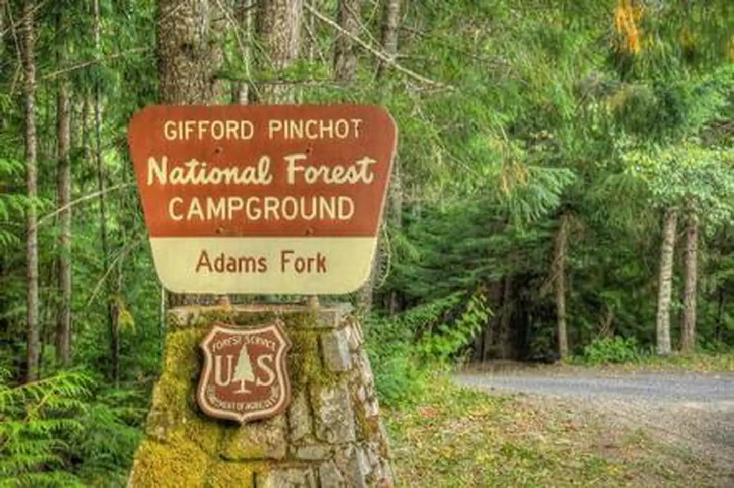
The nearest public campgrounds are Horseshoe Lake Campground (3.8 mi, first-come), Keenes Horsecamp (3.9 mi, first-come), and Adams Fork Campground (4.1 mi, partly first-come).
Source: Campgrounds nearby