Moore Creek
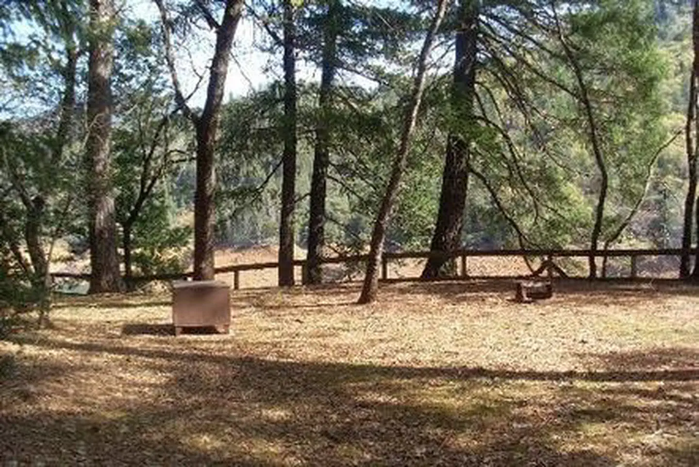
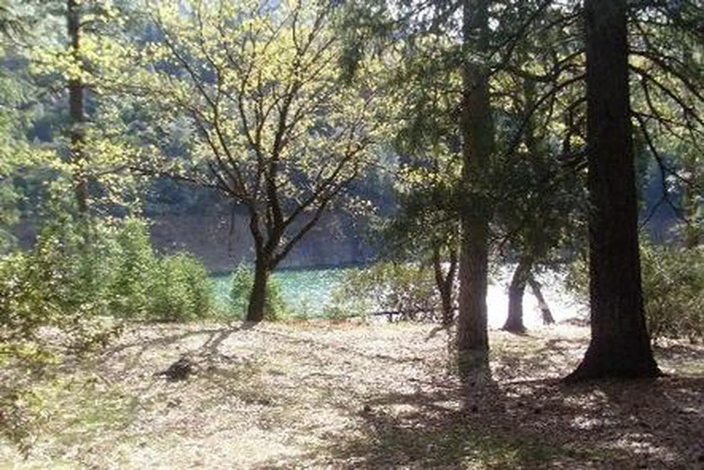
Moore Creek Campground is situated on the McCloud Arm of Shasta Lake. This cozy campground is partially shaded and can accommodate both tents and RVs. Camping at Moore Creek provides easy access to a variety of water sports, as well as the opportunity to enjoy scenic views and abundant wildlife.
More like this: reservable in California · big rigs in California · pets allowed in California · group sites in California
Check availability on Recreation.gov ↗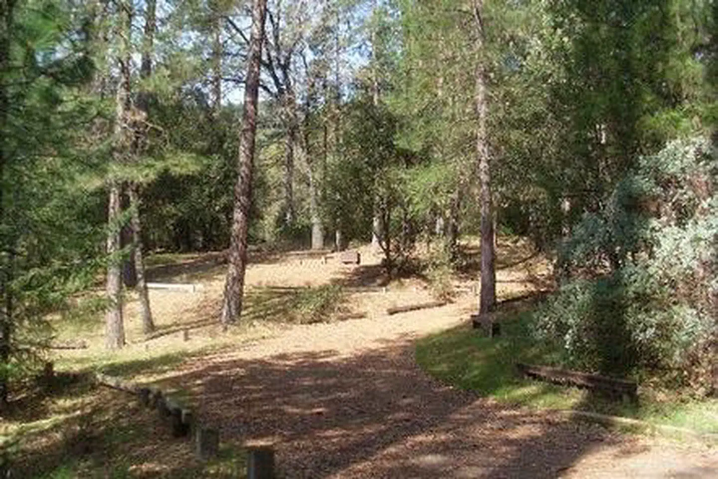
Site mix
| Group sites | 1 |
| Host/management | 13 |
Site guide
Will my RV fit
The longest site here provides 30 feet of vehicle capacity. Most sites are shorter.
1 site. Tap a filter to narrow the list; the map follows.
| Site | Entry | Fits, ft | Surface | Shade | People / vehicles |
|---|---|---|---|---|---|
| 001 | Back-in | 30 | Paved | Full | 90 / 25 |
Per-site records as published by the managing agency on Recreation.gov. Blank cells mean the agency listed nothing for that site. Check-in 3:00 PM, checkout 12:00 PM.
Amenities & rules
| Hookups | None |
| Max vehicle length | 40 ft |
| Equipment | RVs & trailers, Tents |
| Pets | Allowed |
| Fees | If the reservation was made through recreation.gov please call 1-877-444-6777 to make a refund request. Refunds must be requested no later than 14 days before your scheduled arrival date for a full refund (excluding recreation.gov fee’s). |
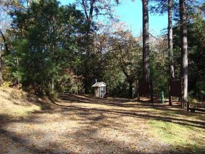
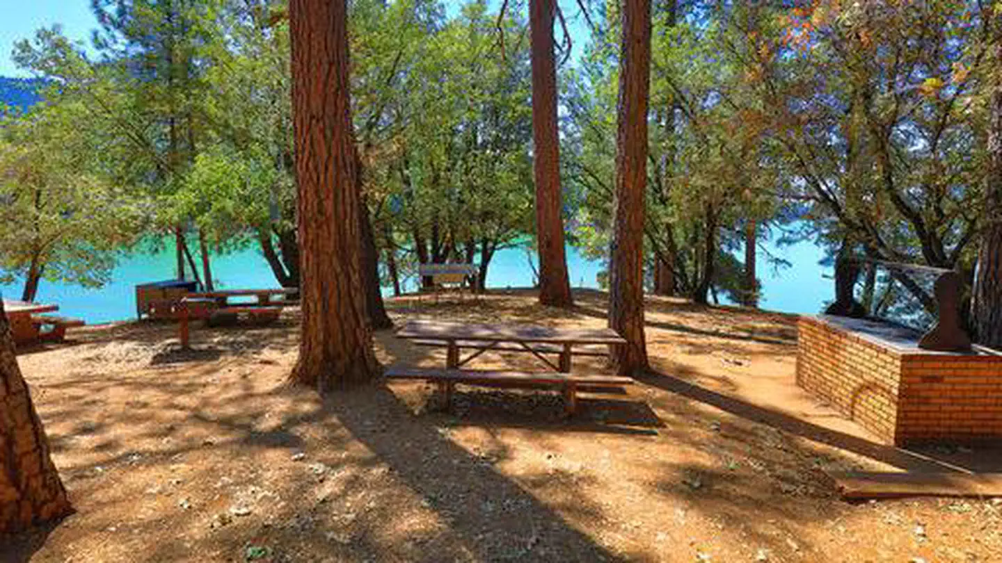
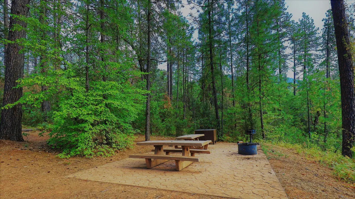
All campsites have picnic tables, fire rings, tent pads, bear boxes and paved parking spurs. Vault toilets and drinking water are provided.
Individual sites vary. Confirm on Recreation.gov or with the managing office.
Season & status
| Status | Closed for the season. Forest Service sites close for the season; check the official page for the reopening date. |
| Season | May 10 to Sept. 12 |
| Forest | Shasta-Trinity National Forest |
| Booking | Facility is available by reservation only through the National Recreation Reservation Service (NRRS) @ www. recreation.gov or by calling 1-877-444-6777. |
| Fees | Group Campground: $160/Night, max group size = 90. As needed for overflow: Family Campground = $20/Night. |
Weather by month
Getting there
The campground is 250 miles north of San Francisco. Travel I-5 through Sacramento and Redding. Go ten miles north of Redding and cross Shasta Lake. Remain on I-5 to Gilman Road (From north, take Salt Creek exit to Gilman Road). Take Gilman Road east for 14 miles to the campground entrance on the right.
| Nearest town | Lakehead, California |
| Coordinates | 40.8839° N, 122.2178° W · Directions ↗ |
Fire nearby
- PrescribedShf Rx
24 mi from the campground
- PrescribedFive-6 Rx
38 mi from the campground
- PrescribedFive-7 Rx
39 mi from the campground
Distance is to the reported incident point, not the fire edge. Call the managing office before you drive.
Supplies & services
| RV sales & service | Cousin Gary RV Center ↗ | 17.3 mi |
| Outdoor gear | Sportsman's Warehouse ↗ | 22 mi |
| Dump station | Dump station ↗ | 25.4 mi |
Locations © OpenStreetMap contributors. Call ahead; hours change seasonally.
Explore
Video
Moore Creek Campground - Lake Shasta, CA
Worth a stop
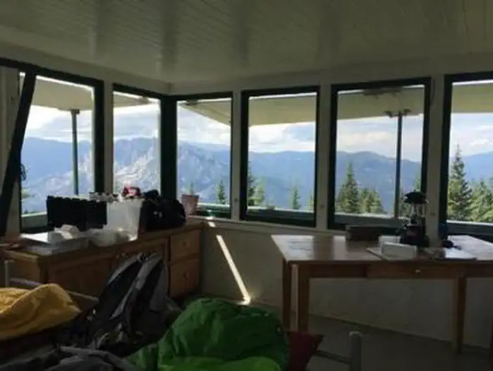
The nearby Hirz Mountain Lookout offers panoramic views of Mt. Shasta, Mt. Lassen and the surrounding area at an elevation of 3,500 feet.
- 1.2 miDekkas Rock Day Use Area ↗Day use
- 2.3 miHirz Bay Public Boat Ramp ↗Boat launch
- 3.7 mi
Trails nearby
- 0.9 miDekkas2.5 mi trail · hiking, horse, bike
- 1.2 miHirz Bay1.6 mi trail · hiking, horse, bike
- 2.5 miSamwell Cave0.7 mi trail · hiking, horse, bike
- 4 miCurl Ridge Jeep Trail ↗19.4 mi trail · hiking, horse, bike, motorcycle and 3 more
Trail and trailhead records are the Forest Service's. Distances are straight-line to the nearer trail end. Trail conditions are not tracked here.
Public land it sits in
This campground sits inside Shasta-Trinity National Forest.
- inShasta-Trinity National Forest ↗National Forest · Forest Service · 2,715,499 acres
Each unit is published as a centre point and an acreage rather than a boundary, so this section stands it in for a circle of the same area. Whether a campground is inside, and how far it is from one it is outside, are both approximate.
Other campgrounds nearby
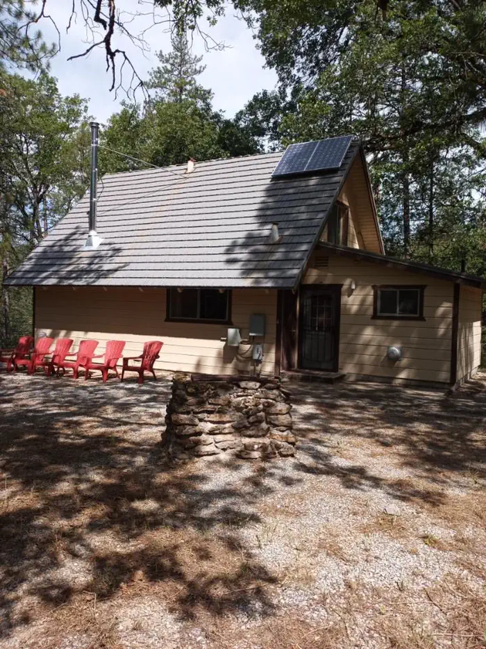
Cabin and lookout rentals nearby

Natural features
Shasta-Trinity is the largest national forest in California with a diverse landscape encompassing five wilderness areas, hundreds of mountain lakes and 6,278 miles of streams and rivers. Lake Shasta sits at an elevation of 1,067 feet, with 365 miles of shoreline punctuated by steep mountains blanketed in manzanita and evergreens. A snow-capped Mount Shasta, the second-tallest mountain in the Cascade Range, looms in the distance.
Recreation
The nearest public boat ramp is 4 miles away at Hirz Bay. Boat rentals and fuel are available at nearby lakefront resorts. Shasta Lake is popular for power and non-motorized boating, fishing and water skiing. Anglers can fish for trout, catfish, Chinook salmon, crappie, bluegill, white sturgeon, brown bullhead and bass.
Guidebooks for California
We earn a small commission if you buy through these links. It does not change what we list.

Titles come from Open Library's catalog, matched by subject heading or by title.
Reference
Questions people ask
Do I need a reservation at Moore Creek?
Sites at Moore Creek are reservable on Recreation.gov. Facility is available by reservation only through the National Recreation Reservation Service (NRRS) @ www. Any walk-up sites are listed on the booking page.
Source: Recreation.gov
How much does it cost to camp at Moore Creek?
If the reservation was made through recreation.gov please call 1-877-444-6777 to make a refund request. Refunds must be requested no later than 14 days before your scheduled arrival date for a full refund (excluding recreation.gov fee’s).
Source: Recreation.gov
What time is check-in at Moore Creek?
Check-in 3:00 PM, checkout 12:00 PM.
Source: Recreation.gov
Is Moore Creek open right now?
Closed for the season as of Oct 16, 2026. Season May 10 to Sept. 12.
Source: Forest Service status
How many sites does Moore Creek have?
14 sites, including 1 group site.
Source: Recreation.gov
Will my RV fit at Moore Creek?
The longest site here provides 40 feet of vehicle capacity. Most sites are shorter. The sidebar tool checks a trailer or motorhome length against every site.
Source: Will my RV fit
Are pets allowed at Moore Creek?
Yes, pets are allowed at Moore Creek. Leash rules apply.
Source: Recreation.gov
Is there cell service at Moore Creek?
FCC coverage maps show Verizon 4G LTE at the campground point. Terrain changes that from one site to the next.
Source: FCC Broadband Map
What is there to do at Moore Creek?
The nearest public boat ramp is 4 miles away at Hirz Bay. The Recreation section on this page has the rest.
Source: Recreation
What is the nearest town to Moore Creek?
Lakehead, California. The nearby Hirz Mountain Lookout offers panoramic views of Mt.
Source: Getting there
What if Moore Creek is full?
The nearest public campgrounds are Dekkas Rock (1.2 mi), Hirz Bay (2.2 mi), and Hirz Bay Group 1 (2.2 mi).
Source: Campgrounds nearby