Guanella Pass
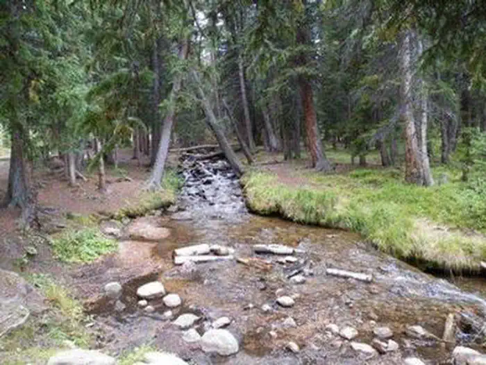
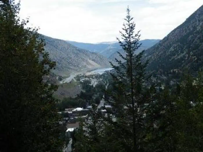
Guanella Pass Campground is located about 7 miles south of Georgetown on the South Fork of Clear Creek on the Guanella Pass Scenic Byway. Located at an elevation of 10,900 feet on the Arapaho Roosevelt National Forest, visitors to the campground can also enjoy hiking and fishing in the area. The Guanella Pass Scenic and Historic Byway follows an old wagon route that linked the mining towns of Georgetown and Grant, Colorado.
More like this: reservable in Colorado · big rigs in Colorado
Check availability on Recreation.gov ↗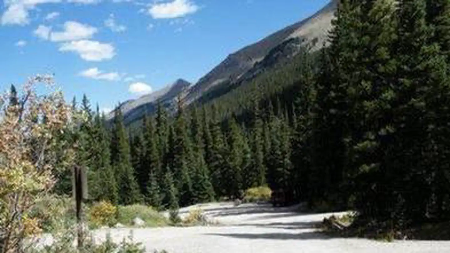

Site mix
| Standard, no hookups | 9 |
| Tent-only | 7 |
| RV, no hookups | 1 |
| Host/management | 1 |
Site guide
Will my RV fit
The longest site here provides 45 feet of vehicle capacity. Most sites are shorter.
17 sites. Tap a filter to narrow the list; the map follows.
| Site | Type | Entry | Fits, ft | Surface | People / vehicles |
|---|---|---|---|---|---|
| 001 | Standard | Back-in | 45 | Gravel | 8 / 1 |
| 002 | Standard | Back-in | 30 | Gravel | 8 / 1 |
| 003 | Standard | Back-in | 30 | Gravel | 8 / 1 |
| 004 | RV | Back-in | 30 | Gravel | 8 / 1 |
| 005 | Standard | Back-in | 20 | Gravel | 8 / 1 |
| 006 | Standard | Back-in | 25 | Gravel | 8 / 1 |
| 008 | Standard | Back-in | 40 | Gravel | 8 / 1 |
| 009 | Tent only | Gravel | 8 / 1 | ||
| 010 | Tent only | Gravel | 8 / 1 | ||
| 011 | Tent only | Gravel | 8 / 1 |
Per-site records as published by the managing agency on Recreation.gov. Blank cells mean the agency listed nothing for that site. Check-in 02:00 PM, checkout 12:00 PM.
Amenities & rules
| Hookups | None |
| Max vehicle length | 45 ft |
| Equipment | RVs & trailers, Tents |
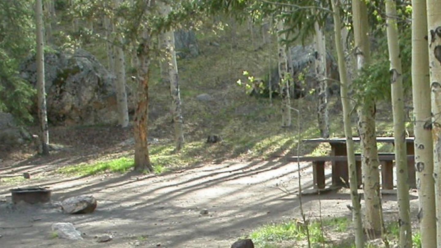
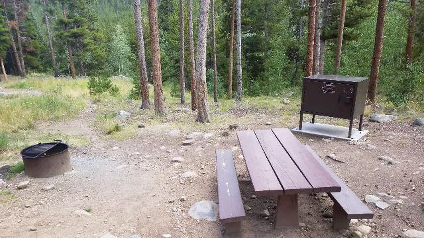
The campground is split into two loops by the county road and South Clear Creek. There are 18 sites in the campground. Eleven are suitable for RV camping and seven are more suitable for tents. Large RVs are not recommended on the byway. Most of the sites are in the open with some tent sites located among some spruce trees. Each site has a tent pad, picnic table, fire ring and charcoal grill. The roads through the campground are gravel. This facility provides hand pumps with potable water, vault toilets and trash dumpsters.
Individual sites vary. Confirm on Recreation.gov or with the managing office.
Season & status
| Status | Closed for the season. Forest Service sites close for the season; check the official page for the reopening date. |
| Forest | Arapaho & Roosevelt National Forests Pawnee NG |
| Booking | Make reservations at www.recreation.gov or by calling 1-877-444-6777. |
| Rules | A single site may hold up to eight people. Tents must fit on the pads provided. RVs, trailers or other vehicles must fit on the parking spur. Driving or parking off road is not permitted. The parking length ranges from 20 to 45 feet. Dogs must be on leash. |
Arapaho & Roosevelt National Forests Pawnee NG recreation page ↗
Weather by month
Getting there
From I-25 in Denver, take I-70 West to Georgetown Exit 228. Go south on County Road 381 (Guanella Pass Scenic Byway) for 9 miles. From Denver take Highway 285 to Grant. Turn right (north) on to Park County Road 62. Drive approx. 14.5 miles to the campground.
| Nearest town | Morrison, Colorado |
| Coordinates | 39.6128° N, 105.7161° W · Directions ↗ |
Charges and cancellations
Customers and contact center agents cannot modify reservations on or after the check-in date.
Fire nearby
- PrescribedHarris Park Broadcast Rx
13 mi from the campground · 390 acres
- WildfireWillow
47 mi from the campground · 7,359 acres · 92% contained
- PrescribedO'Brien 2 Broadcast Rx
47 mi from the campground · 267 acres
Distance is to the reported incident point, not the fire edge. Call the managing office before you drive.
Supplies & services
| Outdoor gear | Arapahoe Basin Base Lodge ↗ | 8.5 mi |
| Dump station | Dump Station ↗ | 23 mi |
| RV sales & service | RV sales & service ↗ | 28.9 mi |
Locations © OpenStreetMap contributors. Call ahead; hours change seasonally.
Explore
Video
Guanella Pass Campground
Worth a stop
Visitors enjoy touring historic Georgetown, a former mining town of about 1,000 residents. Additional ghost towns dot the region.
- 0.8 miSilver Dollar Lake Trailhead ↗Trailhead
- 2.6 miClear Lake Picnic Site ↗Day use
- 3.8 mi
- 4.3 miSummit Lake Trailhead ↗Trailhead
Trails nearby
- 0.7 miSilver Dollar Lake2.1 mi trail · hiking, horse, bike
- 1.1 miSouth Park ↗15.3 mi trail · hiking, horse, bike, snowshoe and 1 more
- 1.1 miGuanella Pass Overlook0.1 mi trail · hiking, horse
- 1.2 miMt. Bierstadt0.4 mi trail · hiking, horse
- 1.3 miRosalie ↗13.1 mi trail · hiking, horse
- 1.4 miMt. Bierstadt3.2 mi trail · hiking, horse
Trailheads within three miles
- 0.8 miSilver Dollar Lake Trailhead ↗Arapaho & Roosevelt National Forests Pawnee NG
- 1.2 miGuanella Pass Trailhead ↗Arapaho & Roosevelt National Forests Pawnee NG
Trail and trailhead records are the Forest Service's. Distances are straight-line to the nearer trail end. Trail conditions are not tracked here.
Public land it sits in
This campground sits inside Mount Evans Wilderness.
- inMount Evans Wilderness ↗Wilderness · Forest Service · 73,416 acres
- 13.3 miVasquez Peak Wilderness ↗Wilderness · Forest Service · 13,000 acres
- 13.9 miJames Peak Wilderness ↗Wilderness · Forest Service · 17,109 acres
Each unit is published as a centre point and an acreage rather than a boundary, so this section stands it in for a circle of the same area. Whether a campground is inside, and how far it is from one it is outside, are both approximate.
Other campgrounds nearby

Cabin and lookout rentals nearby
Historic landmarks nearby


Natural features
The Arapaho and Roosevelt National Forests and Pawnee National Grassland sit along the foothills and Rockies of Colorado. The forests and grassland cover 1.5 million acres and extend north to the Wyoming border, south to Mount Evans and west across the Continental Divide. The area includes mountains, lakes and five scenic byways, designated by Congress for their scenery, wildlife or history, including the highest road in North America. Mount Evans Road, also known as Colorado Highway 5, allows visitors to drive from 10,500' to 14,130' above sea level in just 14 miles.
Recreation
Visitors can go trout fishing on the South Fork of Clear Creek. Silver Dollar Lake is nearby, but cannot be reached by car. Instead, the Silver Dollar Lake Trail leads hikers above treeline to the scenic lake.
Guidebooks for Colorado
We earn a small commission if you buy through these links. It does not change what we list.



Titles come from Open Library's catalog, matched by subject heading or by title.
Reference
Questions people ask
Do I need a reservation at Guanella Pass?
Sites at Guanella Pass are reservable on Recreation.gov. Make reservations at www.recreation.gov or by calling 1-877-444-6777. Any walk-up sites are listed on the booking page.
Source: Recreation.gov
What time is check-in at Guanella Pass?
Check-in 02:00 PM, checkout 12:00 PM.
Source: Recreation.gov
Is Guanella Pass open right now?
Closed for the season as of Oct 16, 2026.
Source: Forest Service status
How many sites does Guanella Pass have?
18 sites, including 9 standard sites without power, 7 tent-only sites, and 1 RV site without hookups.
Source: Recreation.gov
Will my RV fit at Guanella Pass?
The longest site here provides 45 feet of vehicle capacity. Most sites are shorter. The sidebar tool checks a trailer or motorhome length against every site.
Source: Will my RV fit
What is there to do at Guanella Pass?
Visitors can go trout fishing on the South Fork of Clear Creek. The Recreation section on this page has the rest.
Source: Recreation
What is the nearest town to Guanella Pass?
Morrison, Colorado. Visitors enjoy touring historic Georgetown, a former mining town of about 1,000 residents.
Source: Getting there
What if Guanella Pass is full?
The nearest public campgrounds are Clear Lake Campground (2.6 mi, first-come), West Chicago Creek (5.5 mi), and Geneva Park Campground (6 mi).
Source: Campgrounds nearby