Hampshire Rocks
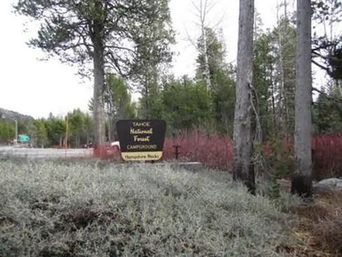
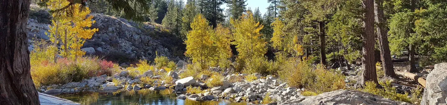
Hampshire Rocks Campground is located in the Tahoe National Forest on the banks of the South Yuba River, near the Rainbow/Big Bend exit along Interstate 80. Visitors enjoy the area for its cool temperatures, access to the South Yuba River, fishing, and nearby trail opportunities, as well as its historic significance along the California Emigrant Trail. This facility is operated and maintained by the Tahoe National Forest.
More like this: reservable in California · big rigs in California · pets allowed in California
Check availability on Recreation.gov ↗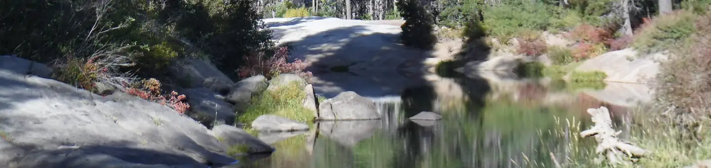

Site mix
| Standard, no hookups | 29 |
| Tent-only | 1 |
| Host/management | 3 |
Site guide
Will my RV fit
The longest site here provides 45 feet of vehicle capacity. Most sites are shorter.
30 sites. Tap a filter to narrow the list; the map follows.
| Site | Type | Entry | Fits, ft | Surface | Shade | Waterfront | People / vehicles | Fires |
|---|---|---|---|---|---|---|---|---|
| 02 | Standard | Back-in | 39 | Paved | Partial | Riverfront | 6 / 2 | Yes |
| 03 | Standard | Back-in | 35 | Paved | Partial | Riverfront | 6 / 2 | Yes |
| 04 | Standard | Back-in | 36 | Paved | Partial | Riverfront | 6 / 2 | Yes |
| 05 | Standard | Back-in | 30 | Paved | Partial | Riverfront | 6 / 6 | Yes |
| 06 | Standard | Back-in | 40 | Paved | Partial | Riverfront | 6 / 2 | Yes |
| 07 | Standard | Back-in | 35 | Paved | Partial | Riverfront | 6 / 2 | Yes |
| 08 | Standard | Back-in | 40 | Paved | Partial | Riverfront | 6 / 2 | Yes |
| 09 | Standard | Back-in | 38 | Paved | Partial | Riverfront | 6 / 2 | Yes |
| 11 | Standard | 40 | Paved | Partial | Riverfront | 6 / 2 | Yes | |
| 12 | Standard | Back-in | 35 | Paved | Partial | 6 / 2 | Yes |
Per-site records as published by the managing agency on Recreation.gov. Blank cells mean the agency listed nothing for that site. Check-in 2:00 PM, checkout 12:00 PM.
Amenities & rules
| Hookups | None |
| Max vehicle length | 45 ft |
| Equipment | RVs & trailers, Tents |
| Pets | Allowed |
| Campfires | Allowed, subject to restrictions |
The campground offers single-family campsites, a few of which are designated for tent camping only. Each site is equipped with a picnic table and campfire ring. Vault toilets and drinking water are provided.
Individual sites vary. Confirm on Recreation.gov or with the managing office.
Season & status
| Season | May 23 to October 15 |
| Forest | Tahoe National Forest |
| Booking | This site can be reserved by calling Toll Free 1-877-444-6777 (International 518-885-3639 or TDD 877-833-6777) or on-line at www.recreation.gov |
| Fees | $24 per site $5 for extra vehicle |
Weather by month
Getting there
From Truckee, Calif. take Highway 80 west 17 miles. Take the Rainbow/Big Bend exit. If westbound, turn left under the freeway to the campground entrance. If eastbound, turn right at the stop sign.
| Nearest town | Nevada City, California |
| Coordinates | 39.3108° N, 120.5000° W · Directions ↗ |
Charges and cancellations
No Show Policy A no-show customer is one who does not arrive at a campground and does not cancel the reservation by check-out time on the day after the scheduled arrival date (or for day-use facilities, by check-in time the day of arrival). No-show customers are only recorded at staffed facilities. At most remote facilities, all customers are noted as automatically checked-in on the date of arrival. It is recommended that staffed facilities hold a campsite until check-out time on the day following the arrival date. It is recommended that staffed facilities hold group day-use facilities until check-in time on the arrival date. There is no change fee if a customer extends or shortens a reservation if the change includes dates from the original reservation. If they choose to depart early, they may forfeit some or all of the recreation fees. There is no change fee if the customer changes campsites that are the same price and on the same reservation dates in the same campground. If the campsite the customer is changing to has a price difference, the customer will be responsible for any additional fees or be provided with a refund, based on the price difference.
Fire nearby
- PrescribedTmu Rx Support
39 mi from the campground
Distance is to the reported incident point, not the fire edge. Call the managing office before you drive.
Supplies & services
| Dump station | Dump station ↗ | 5.5 mi |
| Outdoor gear | Upcycled Adventures ↗ | 11.4 mi |
| RV sales & service | DeMartini RV Sales ↗ | 29.9 mi |
Locations © OpenStreetMap contributors. Call ahead; hours change seasonally.
Explore
Video
Hampshire Rocks Campground: Campsite Tour (Pre-Season Sneak Peek)
Worth a stop
Donner Lake is located 14 miles east of the campground via Historic Route 40/Lincoln Highway, known as the nation's first transcontinental highway. Many points of interest lie along Route 40, including China Wall, Rainbow Bridge, Sugar Bowl, Lake Van Norden and Ice Lakes. Other attractions include Donner Summit PCT, Loch Leven, and Castle Peak Trailheads, Fordyce 4x4 jeep trail, and Grouse Ridge Non-Motorized Area.
- 8.7 mi
- 8.7 miDonner Summit Day Use Area ↗Day use
- 13.6 miMcguire Boat Ramp ↗Boat launch
- 14.3 miFrench Meadows Boat Ramp ↗Boat launch
Trails nearby
- 0.9 miLoch Leven4.2 mi trail · hiking, horse, bike
- 1 miBig Bend Interpretive ↗0.6 mi trail · hiking, horse, bike
- 1.7 miSalmon Lake Tie Trail0.5 mi trail · hiking, horse, bike
- 2 miSterling4.2 mi trail · snowmobile, snowshoe, ski
- 2.1 miCherry Point3.1 mi trail · hiking, horse, bike
- 2.1 miSalmon Lake Trail1.5 mi trail · hiking, horse, bike
Trail and trailhead records are the Forest Service's. Distances are straight-line to the nearer trail end. Trail conditions are not tracked here.
Public land it sits in
This campground sits inside Tahoe National Forest.
- inTahoe National Forest ↗National Forest · Forest Service · 1,181,139 acres
- 11.9 miGranite Chief Wilderness ↗Wilderness · Forest Service · 28,374 acres
Each unit is published as a centre point and an acreage rather than a boundary, so this section stands it in for a circle of the same area. Whether a campground is inside, and how far it is from one it is outside, are both approximate.
Other campgrounds nearby


Cabin and lookout rentals nearby
On the National Register nearby
- Webber Lake HotelBuilding · Sierraville · 12.6 mi
Natural features
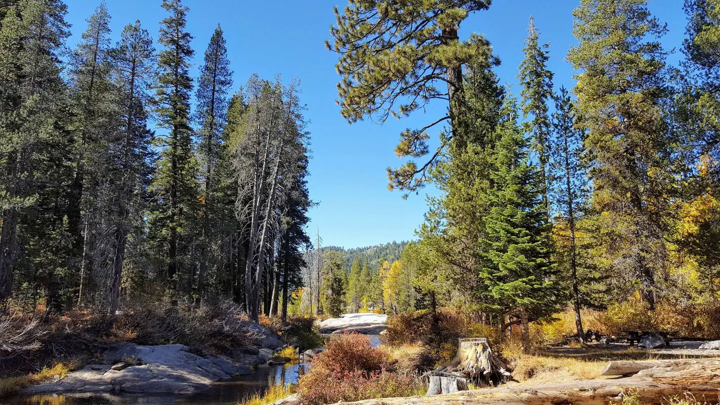
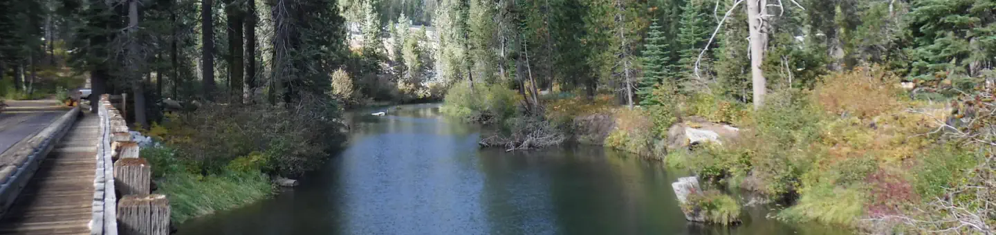
The campground is situated on the north bank of the upper South Yuba River in a forest of lodgepole pines. Some sites are adjacent to the river, which flows gently through this particular area.
Recreation
The South Yuba River offers swimming, and rainbow trout fishing. The surrounding area offers hiking, road biking, mountain biking, and off-road vehicle trails. The historic California Emigrant Trail passes through the campground.
Guidebooks for California
We earn a small commission if you buy through these links. It does not change what we list.

Titles come from Open Library's catalog, matched by subject heading or by title.
Reference
Questions people ask
Do I need a reservation at Hampshire Rocks?
Sites at Hampshire Rocks are reservable on Recreation.gov. This site can be reserved by calling Toll Free 1-877-444-6777 (International 518-885-3639 or TDD 877-833-6777) or on-line at www.recreation.gov Any walk-up sites are listed on the booking page.
Source: Recreation.gov
How much does it cost to camp at Hampshire Rocks?
$24 per site $5 for extra vehicle
Source: Recreation.gov
What time is check-in at Hampshire Rocks?
Check-in 2:00 PM, checkout 12:00 PM.
Source: Recreation.gov
How many sites does Hampshire Rocks have?
33 sites, including 29 standard sites without power and 1 tent-only site.
Source: Recreation.gov
Will my RV fit at Hampshire Rocks?
The longest site here provides 45 feet of vehicle capacity. Most sites are shorter. The sidebar tool checks a trailer or motorhome length against every site.
Source: Will my RV fit
Are pets allowed at Hampshire Rocks?
Yes, pets are allowed at Hampshire Rocks. Leash rules apply.
Source: Recreation.gov
Can I have a campfire at Hampshire Rocks?
Fires are allowed in the provided rings under normal conditions. As of 2026-10-16, there is 1 active fire within 50 miles, so check current restrictions before you light one.
Source: Fire nearby
Is there cell service at Hampshire Rocks?
FCC coverage maps show Verizon 4G LTE, AT&T 5G, and T-Mobile 5G at the campground point. Terrain changes that from one site to the next.
Source: FCC Broadband Map
What is there to do at Hampshire Rocks?
The South Yuba River offers swimming, and rainbow trout fishing. The Recreation section on this page has the rest.
Source: Recreation
What is the nearest town to Hampshire Rocks?
Nevada City, California. Donner Lake is located 14 miles east of the campground via Historic Route 40/Lincoln Highway, known as the nation's first transcontinental highway.
Source: Getting there
What if Hampshire Rocks is full?
The nearest public campgrounds are Big Bend Group (1.1 mi), Indian Springs (3.9 mi), and Meadow Lake Shoreline Campground (7.4 mi, first-come).
Source: Campgrounds nearby