Upper Sage Flat
Take the family to Upper Sage for a pleasant camping trip along the banks of Big Pine Creek. Here, visitors can experience the beauty of the creek that runs along the base of a narrow canyon. Visitors can swim or fish, in the creek that is stocked annually with trout, or head to a nearby lake for power boating.
More like this: reservable in California · pets allowed in California
Check availability on Recreation.gov ↗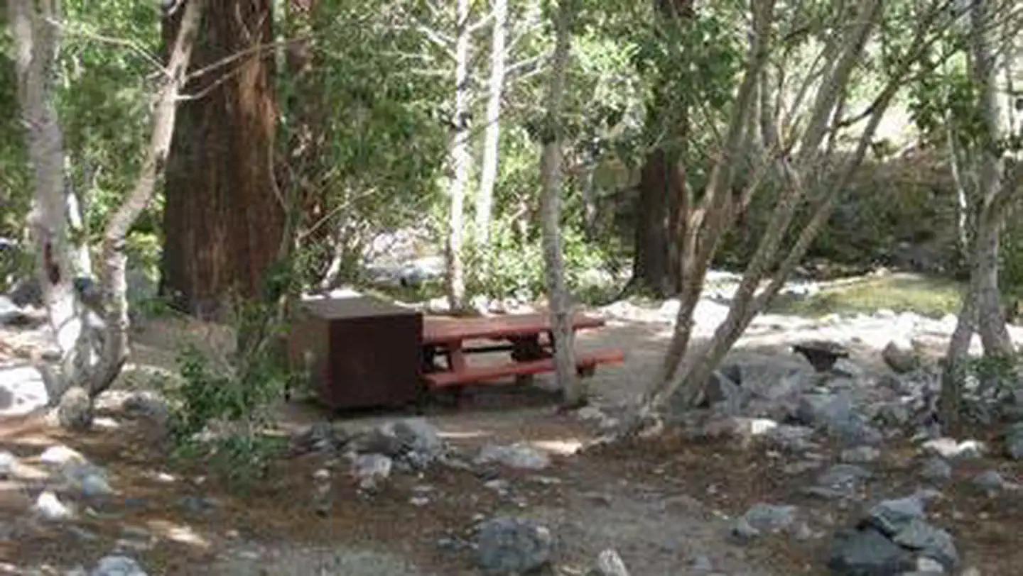
Site mix
| Standard, no hookups | 20 |
| Host/management | 1 |
Site guide
Will my RV fit
The longest site here provides 35 feet of vehicle capacity. Most sites are shorter.
20 sites. Tap a filter to narrow the list; the map follows.
| Site | Entry | Fits, ft | Surface | Shade | People / vehicles |
|---|---|---|---|---|---|
| 002 | Back-in | 30 | Paved | 6 / 1 | |
| 003 | Back-in | Paved | 6 / 1 | ||
| 004 | Back-in | 35 | Paved | 6 / 1 | |
| 005 | Back-in | 30 | Paved | 6 / 1 | |
| 006 | Back-in | 25 | Paved | 6 / 1 | |
| 007 | Back-in | 20 | Paved | 6 / 1 | |
| 008 | Back-in | 30 | Paved | 6 / 1 | |
| 009 | Back-in | 25 | Paved | 6 / 1 | |
| 010 | Back-in | 30 | Paved | 6 / 1 | |
| 011 | Back-in | Paved | 6 / 1 |
Per-site records as published by the managing agency on Recreation.gov. Blank cells mean the agency listed nothing for that site. Check-in 02:00 PM, checkout 11:00 AM.
Amenities & rules
| Hookups | None |
| Max vehicle length | 35 ft |
| Equipment | RVs & trailers, Tents |
| Pets | Allowed |
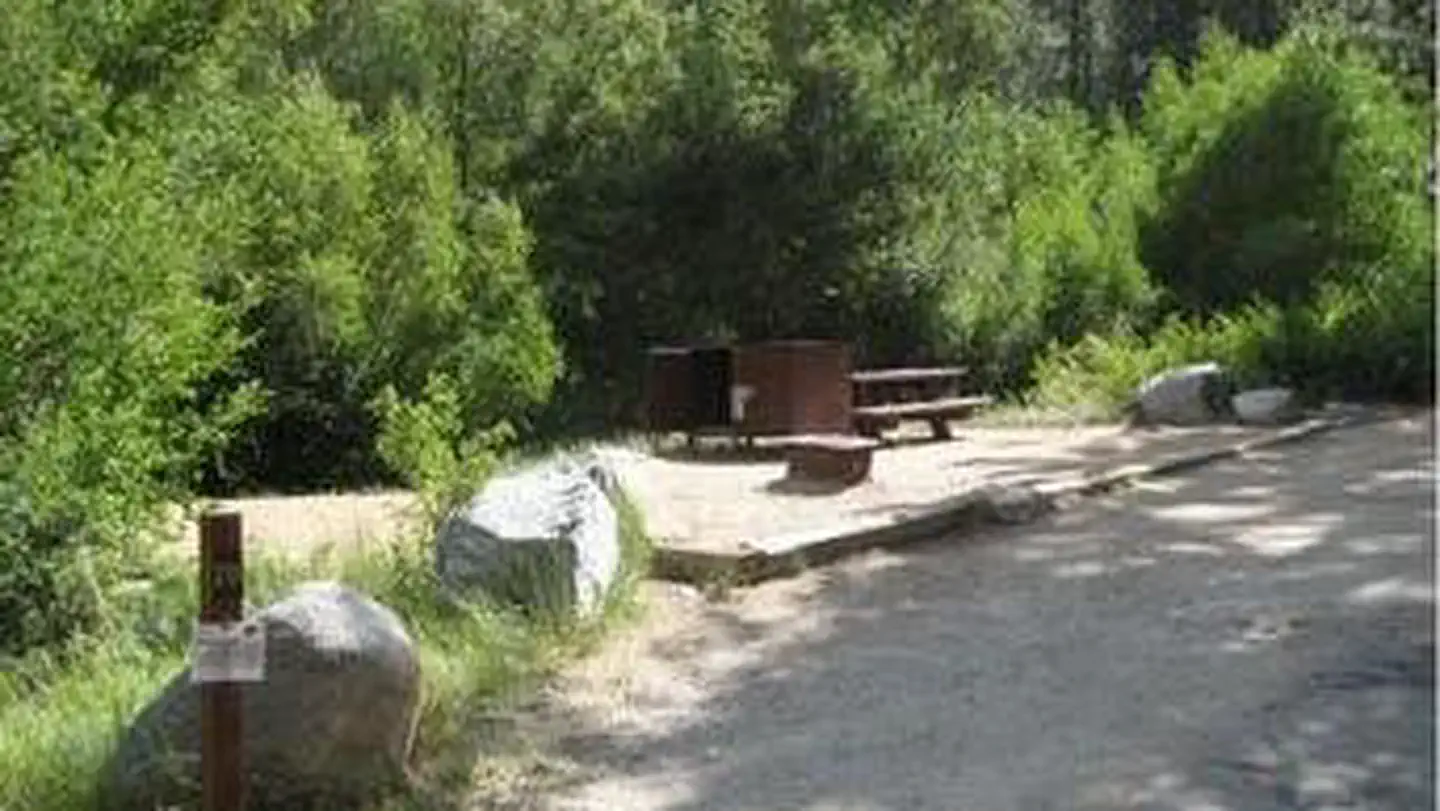
Parking aprons are paved and most are 40 feet long. Amenities include flush toilets, drinking water, picnic tables and campfire rings.
Individual sites vary. Confirm on Recreation.gov or with the managing office.
Season & status
| Status | Open |
| Forest | Inyo National Forest |
| Fees | $29.00 per night. |
| Rules | Dogs on leash only. Maximum stay 14 days. Active bear area; All food must be secured overnight and when not attended, bear boxes are provided and must be used (typical bear box size 48" x 30" x 36"). Always keep a clean camp and do not feed wildlife. |
Weather by month
Getting there
In Big Pine, on US Highway 395, turn west at the yellow flashing traffic light onto Crocker Street (Big Canyon Road). Continue on this road for 9 miles to campground, on your left.
| Coordinates | 37.1258° N, 118.4339° W · Directions ↗ |
Fire nearby
- PrescribedGrant Grove Fall Rx
39 mi from the campground
- PrescribedGrant Grove Rx Spring
40 mi from the campground · 15 acres
- WildfireLand
43 mi from the campground · 20 acres
Distance is to the reported incident point, not the fire edge. Call the managing office before you drive.
Supplies & services
| Dump station | Dump station ↗ | 11.4 mi |
| Outdoor gear | Fixe Hardware ↗ | 16.4 mi |
Locations © OpenStreetMap contributors. Call ahead; hours change seasonally.
Explore
Video
Upper Sage Flat Campground 360° Virtual Tour (8K) | Inyo National Forrest | Big Pine, Ca
Trails nearby
- 0.2 miSage Flat Streamside1.5 mi trail · hiking, horse, bike
- 0.3 miSouth Fork Big Pine Creek ↗4.7 mi trail · hiking, horse, bike
- 0.4 miNorth Fork Big Pine Creek ↗7.8 mi trail · hiking, horse, bike
- 0.4 miGlacier Lodge to 1st Falls Acc0.8 mi trail · hiking, horse, bike
- 0.5 miWaterfall1.3 mi trail · hiking, horse, bike
- 0.6 miPalisade Walk-In Cutoff0.06 mi trail · hiking, horse, bike
Trail and trailhead records are the Forest Service's. Distances are straight-line to the nearer trail end. Trail conditions are not tracked here.
Public land it sits in
This campground sits inside Inyo National Forest.
- inInyo National Forest ↗National Forest · Forest Service · 2,097,006 acres
- 5 miJohn Muir Wilderness ↗Wilderness · Forest Service · 652,903 acres
- 7.8 miSequoia-Kings Canyon Wilderness ↗Wilderness · National Park Service · 768,222 acres
Each unit is published as a centre point and an acreage rather than a boundary, so this section stands it in for a circle of the same area. Whether a campground is inside, and how far it is from one it is outside, are both approximate.
Other campgrounds nearby

Natural features
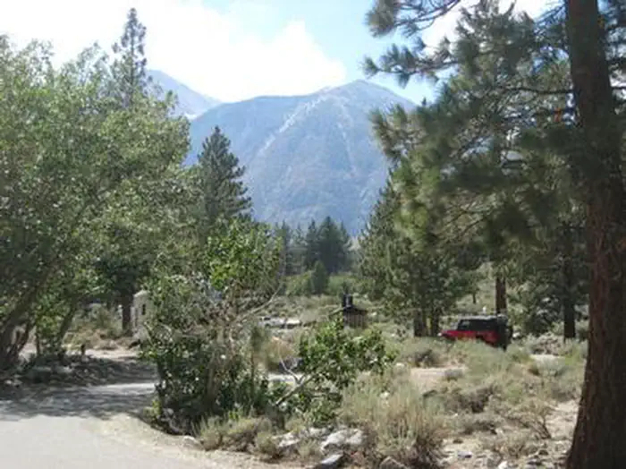
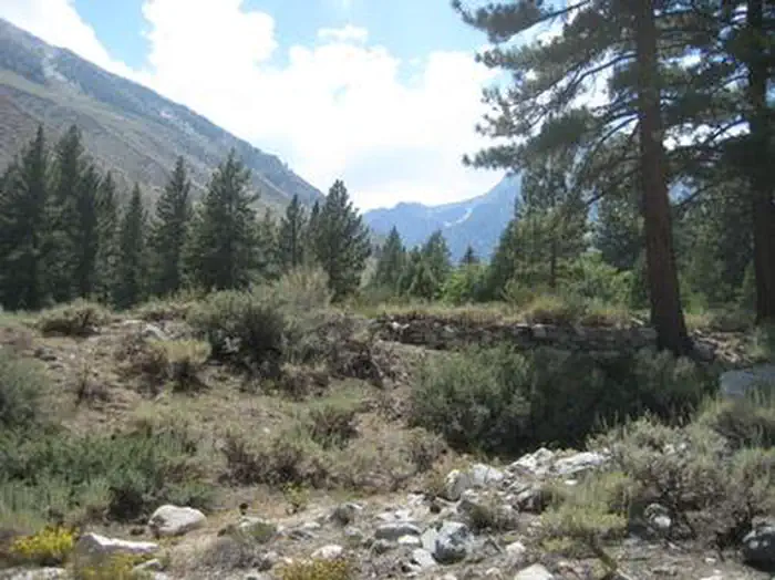
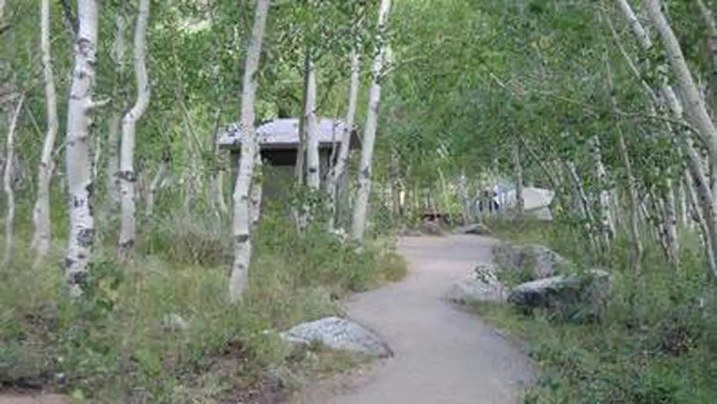
The campground is sprawled out along Big Pine Creek beneath shady Jeffrey pines and cottonwoods, just 9 miles west of the town of Big Pine. Inyo National Forest is home to many natural wonders, including Mt. Whitney, Mono Lake, Mammoth Lakes Basin, and the Ancient Bristlecone Pine Forest atop the White Mountains. Bristlecone pines rank as the oldest trees in the world and have achieved immense scientific and cultural importance.
Recreation
Rainbow, brown, brook and alpers trout swim in the stream, enticing anglers. Hikers are fans of the Big Pine Creek Trail, a 1.5-mile footpath that provides access to the John Muir Wilderness trails.
Nearby
Head to the neighboring John Muir Wilderness for incredible views of Palisades Glacier, the southern-most glacier in the country. Nearby Tinemaha Reservoir provides additional fishing opportunities.
Guidebooks for Inyo National Forest and California
We earn a small commission if you buy through these links. It does not change what we list.

Titles come from Open Library's catalog, matched by subject heading or by title.
Reference
Questions people ask
Do I need a reservation at Upper Sage Flat?
Sites at Upper Sage Flat are reservable on Recreation.gov. Any walk-up sites are listed on the booking page.
Source: Recreation.gov
How much does it cost to camp at Upper Sage Flat?
$29.00 per night.
Source: Recreation.gov
What time is check-in at Upper Sage Flat?
Check-in 02:00 PM, checkout 11:00 AM.
Source: Recreation.gov
Is Upper Sage Flat open right now?
Open as of Oct 16, 2026.
Source: Forest Service status
How many sites does Upper Sage Flat have?
21 sites, including 20 standard sites without power.
Source: Recreation.gov
Will my RV fit at Upper Sage Flat?
The longest site here provides 35 feet of vehicle capacity. Most sites are shorter. The sidebar tool checks a trailer or motorhome length against every site.
Source: Will my RV fit
Are there showers or a dump station at Upper Sage Flat?
Amenities include flush toilets, drinking water, picnic tables and campfire rings.
Source: Recreation.gov
Are pets allowed at Upper Sage Flat?
Yes, pets are allowed at Upper Sage Flat. Leash rules apply.
Source: Recreation.gov
What is there to do at Upper Sage Flat?
Rainbow, brown, brook and alpers trout swim in the stream, enticing anglers. The Recreation section on this page has the rest.
Source: Recreation
What if Upper Sage Flat is full?
The nearest public campgrounds are Big Pine Creek Campground (0.1 mi), Big Pine Canyon (0.7 mi), and Table Mountain (Inyo) (9.3 mi).
Source: Campgrounds nearby