Table Mountain (Inyo)
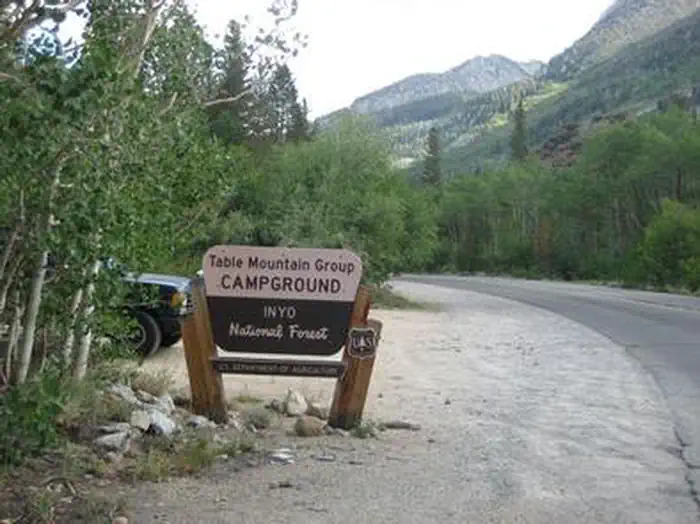
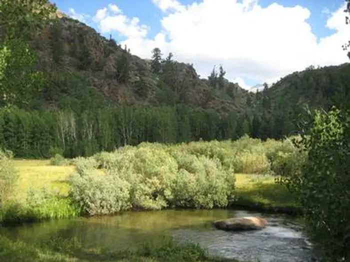
Table Mountain Group Campground is located 18 miles southwest of Bishop, California, along the South Fork of Bishop Creek. Here, the creek has bountiful trout to please anglers. Nearby glaciers and lakes make for incredible scenery and wildlife viewing is excellent. With over 2 million acres, the Inyo National Forest is home to many natural wonders, including Mt. Whitney, Mono Lake, Mammoth Lakes Basin and the Ancient Bristlecone Pine Forest.
More like this: reservable in California · tent only in California · pets allowed in California · group sites in California
Check availability on Recreation.gov ↗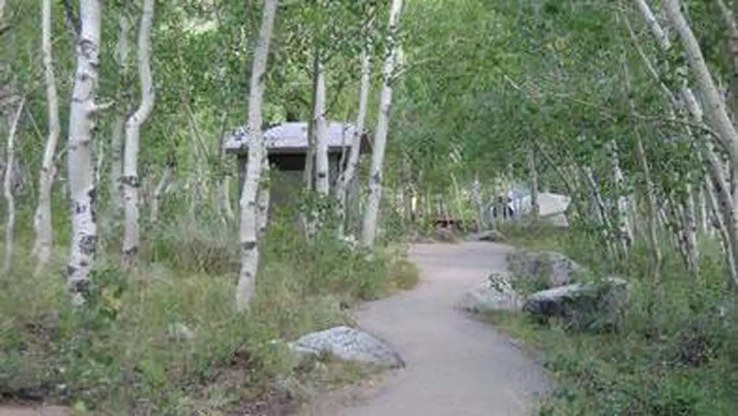
Site mix
| Group tent areas | 1 |
Site guide
1 site. Tap a filter to narrow the list; the map follows.
| Site | Surface | Shade | People / vehicles |
|---|---|---|---|
| 1 | Gravel | Full | 25 / 6 |
Per-site records as published by the managing agency on Recreation.gov. Blank cells mean the agency listed nothing for that site. Check-in 2:00 PM, checkout 11:00 AM.
Amenities & rules
| Equipment | Tents |
| Pets | Allowed |
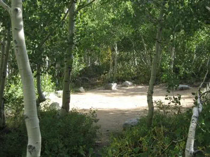
The campground accommodates up to 25 guests for tent camping only. Campground conveniences include a vault toilet, bear boxes, campfire rings and easy access to trails. Within a few miles, campers can access a boat ramp and convenience store.
Individual sites vary. Confirm on Recreation.gov or with the managing office.
Season & status
| Status | Closed for the season. Forest Service sites close for the season; check the official page for the reopening date. |
| Forest | Inyo National Forest |
| Booking | Reserve online at www.recreation.gov |
| Fees | $90.00 per night. |
| Rules | Walk in tent site only. No RV or overnight camping in the parking lot. Active bear area, bear boxes are provided and must be used (typical bear box size is: 48"x30"x36" ) |
Weather by month
Getting there
From Highway 395 in the center of Bishop, turn west on Line Street (Highway 158) and continue west for 13 miles. Turn south on South Lake Road and continue for 5 miles to South Fork road.
| Coordinates | 37.2081° N, 118.5683° W · Directions ↗ |
Fire nearby
- PrescribedGrant Grove Rx Spring
39 mi from the campground · 15 acres
- PrescribedGrant Grove Fall Rx
39 mi from the campground
- WildfireLand
43 mi from the campground · 20 acres
Distance is to the reported incident point, not the fire edge. Call the managing office before you drive.
Supplies & services
| Dump station | Dump station ↗ | 2.8 mi |
| Outdoor gear | Fixe Hardware ↗ | 14.2 mi |
Locations © OpenStreetMap contributors. Call ahead; hours change seasonally.
Explore
Trails nearby
- 0.9 miTyee Lakes ↗7 mi trail · hiking, horse
- 1.4 miGreen Lake Overlook Trail2.4 mi trail · hiking, horse, bike, motorcycle and 3 more
- 1.4 miLidner Trail1.1 mi trail · hiking, horse, bike, motorcycle and 3 more
- 1.4 miCoyote Ridge Trail2.2 mi trail · hiking, horse, bike, motorcycle and 3 more
- 1.6 miRainbow Pack Station1.6 mi trail · hiking, horse, bike
- 2 miSchober Lookout Trail ↗5.5 mi trail · hiking, horse, bike, motorcycle and 3 more
Trail and trailhead records are the Forest Service's. Distances are straight-line to the nearer trail end. Trail conditions are not tracked here.
Public land it sits in
This campground sits inside Inyo National Forest.
- inInyo National Forest ↗National Forest · Forest Service · 2,097,006 acres
- 0.9 miJohn Muir Wilderness ↗Wilderness · Forest Service · 652,903 acres
- 8.6 miSierra National Forest ↗National Forest · Forest Service · 1,418,790 acres
Each unit is published as a centre point and an acreage rather than a boundary, so this section stands it in for a circle of the same area. Whether a campground is inside, and how far it is from one it is outside, are both approximate.
Other campgrounds nearby

Natural features
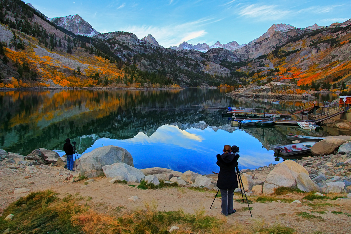
The campground sits adjacent to Bishop Creek among a variety of conifers like Jeffrey pine. Situated on Table Mountain, the campground is part of the White Mountain Ranger District. This district alone boasts he Ancient Bristlecone Pine Forest, numerous 14,000 foot peaks, ancient glaciers and pristine lakes.
Recreation
Located near John Muir Wilderness, the area offers access to several trailheads for hiking and horseback riding. Less than a mile up the road is the trailhead for the Tyee Lakes Trail, highlighting epic views of the Inconsolable Range and the peaks that surround South Lake.
Nearby
Take the John Muir Trail into the John Muir Wilderness and be swept away by excellent views of Devils Postpile.
Guidebooks for Inyo National Forest and California
We earn a small commission if you buy through these links. It does not change what we list.

Titles come from Open Library's catalog, matched by subject heading or by title.
Reference
Questions people ask
Do I need a reservation at Table Mountain (Inyo)?
Sites at Table Mountain (Inyo) are reservable on Recreation.gov. Reserve online at www.recreation.gov Any walk-up sites are listed on the booking page.
Source: Recreation.gov
How much does it cost to camp at Table Mountain (Inyo)?
$90.00 per night.
Source: Recreation.gov
What time is check-in at Table Mountain (Inyo)?
Check-in 2:00 PM, checkout 11:00 AM.
Source: Recreation.gov
Is Table Mountain (Inyo) open right now?
Closed for the season as of Oct 16, 2026.
Source: Forest Service status
How many sites does Table Mountain (Inyo) have?
1 site, including 1 group tent area.
Source: Recreation.gov
Can I bring an RV to Table Mountain (Inyo)?
Table Mountain (Inyo) is listed for tents only.
Source: Recreation.gov
Are pets allowed at Table Mountain (Inyo)?
Yes, pets are allowed at Table Mountain (Inyo). Leash rules apply.
Source: Recreation.gov
What is there to do at Table Mountain (Inyo)?
Located near John Muir Wilderness, the area offers access to several trailheads for hiking and horseback riding. The Recreation section on this page has the rest.
Source: Recreation
What if Table Mountain (Inyo) is full?
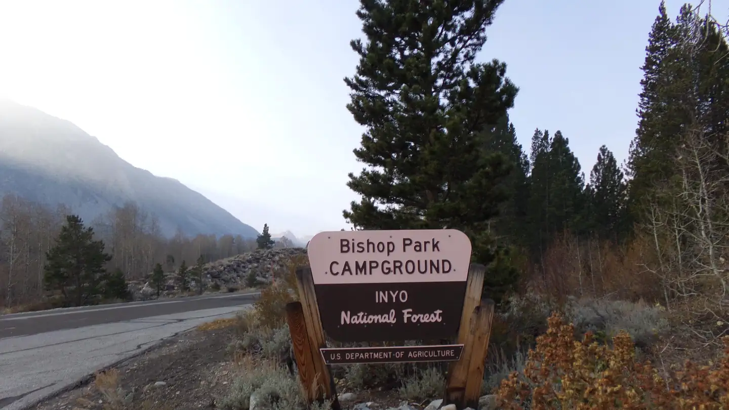
The nearest public campgrounds are Mountain Glen Campground (1.1 mi, first-come), Sabrina Campground (2.2 mi, first-come), and Bishop Park Group (2.8 mi).
Source: Campgrounds nearby