Chavez Crossing
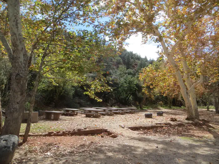
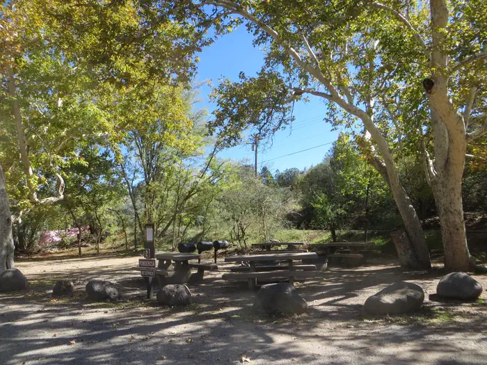
Chavez Crossing Group Campground is in the picturesque Red Rock district of Arizona, with famous red rock formations and breathtaking painted sunsets. Placed beside a creek and surrounded by sycamore and cypress groves, the campground's location offers a fresh sense of the great outdoors. It's also conveniently close to developed entertainment like golf courses and stylish restaurants in the resort town of Sedona. Drive through Oak Creek Canyon to view majestic red-hued cliffs, buttes, and canyons. At night, relax by the campfire at your site or take advantage of Sedona's trendy shopping and nightlife.
More like this: reservable in Arizona · pets allowed in Arizona · group sites in Arizona · dark sky in Arizona
Check availability on Recreation.gov ↗

Site mix
| Group sites | 3 |
Site guide
Will my RV fit
The longest site here provides 35 feet of vehicle capacity. Most sites are shorter.
3 sites in 3 loops. Tap a filter to narrow the list; the map follows.
| Site | Loop | Fits, ft | Surface | Shade | People / vehicles | Fires |
|---|---|---|---|---|---|---|
| 1 | Cypress | 35 | Paved | Full | 50 / 10 | Yes |
| 2 | Ponderosa | 25 | Paved | Partial | 30 / 6 | Yes |
| 3 | Sycamore | 25 | Paved | Full | 30 / 10 | Yes |
Per-site records as published by the managing agency on Recreation.gov. Blank cells mean the agency listed nothing for that site. Check-in 2:00 PM, checkout 11:00 AM.
Amenities & rules
| Hookups | None |
| Max vehicle length | 35 ft |
| Equipment | RVs & trailers, Tents |
| Pets | Allowed |
| Campfires | Allowed, subject to restrictions |
| Dark sky | 1.1 miles from Sedona, Arizona, a certified International Dark Sky Community |
The campground's location makes it a convenient place to mix outdoors time with shopping trips in the resort town of Sedona. Three group sites are available, and all three can be reserved for a total capacity of 110.
Individual sites vary. Confirm on Recreation.gov or with the managing office.
Season & status
| Status | Open |
| Season | Year-round |
| Forest | Coconino National Forest Recreation |
| Booking | Recreation.gov. Phone reservations 877-444-6777. TTY 877-833-6777. International 518-885-3639. Review the Camping and Day Use Reservation Policies on Recreation.gov for information on cancellations… |
| Fees | Sycamore Group Site: $120 per night, per group (10-30 people); difficult to navigate for larger vehicles (max vehicle capacity 10 regular vehicles or 1-2 small to mid-size RVs, estimated for max 25ft RVs). |
| Rules | No radios or amplified devices allowed. Pets must always be restrained or on a leash. No horses allowed in the campground. Motorbikes may only be used for entering or leaving campsite. 7 day stay limit. Quiet hours 10:00 pm to 6:00 am (running generators not permitted during quiet hours). No overflow parking available. |
Weather by month
Getting there
201 Oak Creek Cliffs Dr. Sedona, AZ 86336 If coming from Flagstaff, take I-17 south to Hwy 89A. Go south on 89A through Oak Creek Canyon to Sedona. Left to State Highway 179. Go South on Hwy 179 approximately 2 miles. Turn right on Oak Creek Cliffs Dr. to the campground on the left hand side adjacent to Poco Diablo Resort.
| Coordinates | 34.8436° N, 111.7764° W · Directions ↗ |
Fire nearby
- PrescribedNewman Piles Rx
14 mi from the campground · 751 acres
- PrescribedNewman 2 Piles Rx
14 mi from the campground · 723 acres
- PrescribedWalker Hill 2 Piles Rx
29 mi from the campground · 356 acres
- PrescribedWalker Hill Piles Rx
31 mi from the campground · 725 acres
Distance is to the reported incident point, not the fire edge. Call the managing office before you drive.
Supplies & services
| Outdoor gear | The Hike House ↗ | 1.5 mi |
| Dump station | Dump station ↗ | 15 mi |
| RV sales & service | Little Dealer Little Prices ↗ | 35.3 mi |
Locations © OpenStreetMap contributors. Call ahead; hours change seasonally.
Explore
Video
Chavez Crossing
Worth a stop
A variety of hiking trails and swimming holes are a short drive away. Seek out your favorite panoramic views at Munds Mountain Wilderness, or explore the Red Rock/Secret Mountain Wilderness area in the heart of Oak Creek Canyon. Here, you can find abandoned dwellings and rock art from early inhabitants.
- 2.1 miCrescent Moon Picnic Site ↗Day use
- 8.8 miBootlegger Picnic Area ↗Day use
Trails nearby
- 0.5 miPigtail0.6 mi trail
- 0.5 miMystic0.9 mi trail
- 0.5 miPeccary0.5 mi trail
- 0.5 miHog Wash1.5 mi trail
- 0.5 miHog Heaven0.9 mi trail
- 0.8 miAirport Loop3.2 mi trail
Trail and trailhead records are the Forest Service's. Distances are straight-line to the nearer trail end. Trail conditions are not tracked here.
Public land it sits in
This campground sits inside Coconino National Forest.
- inCoconino National Forest ↗National Forest · Forest Service · 2,000,952 acres
- 1.4 miMunds Mountain Wilderness ↗Wilderness · Forest Service · 18,109 acres
- 3.4 miRed Rock-Secret Mountain Wilderness ↗Wilderness · Forest Service · 48,314 acres
Each unit is published as a centre point and an acreage rather than a boundary, so this section stands it in for a circle of the same area. Whether a campground is inside, and how far it is from one it is outside, are both approximate.
Other campgrounds nearby
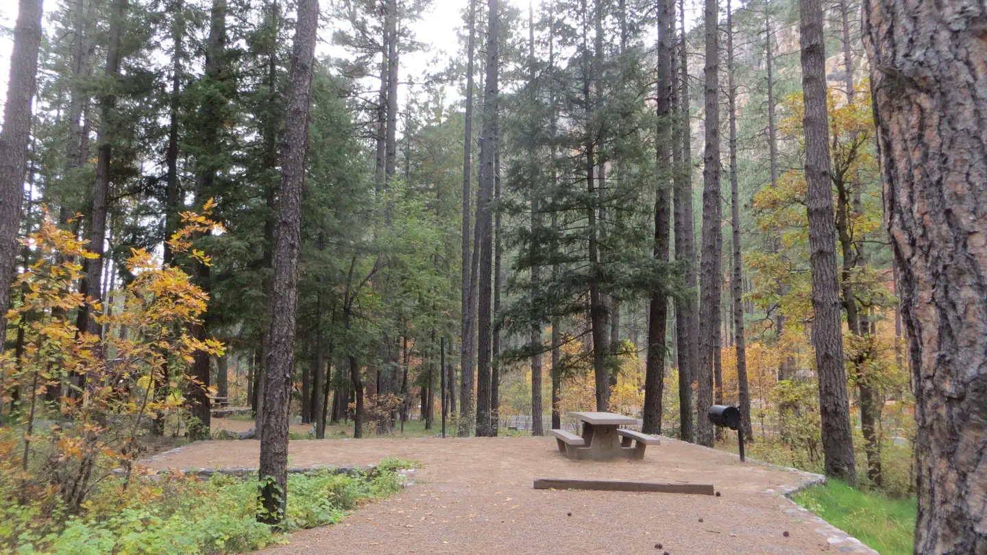
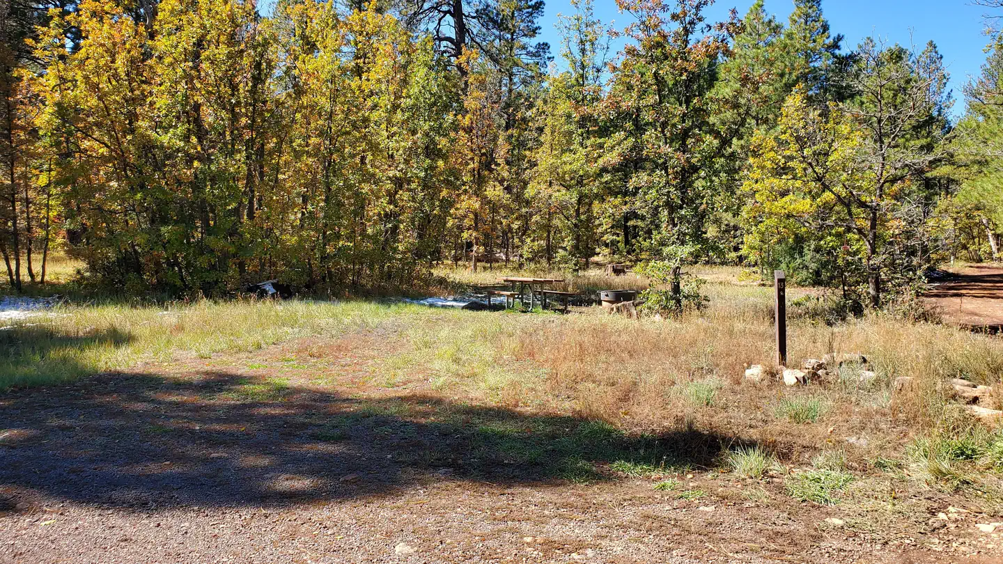
Cabin and lookout rentals nearby
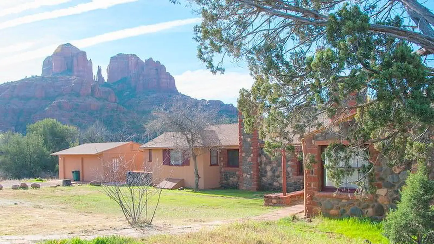
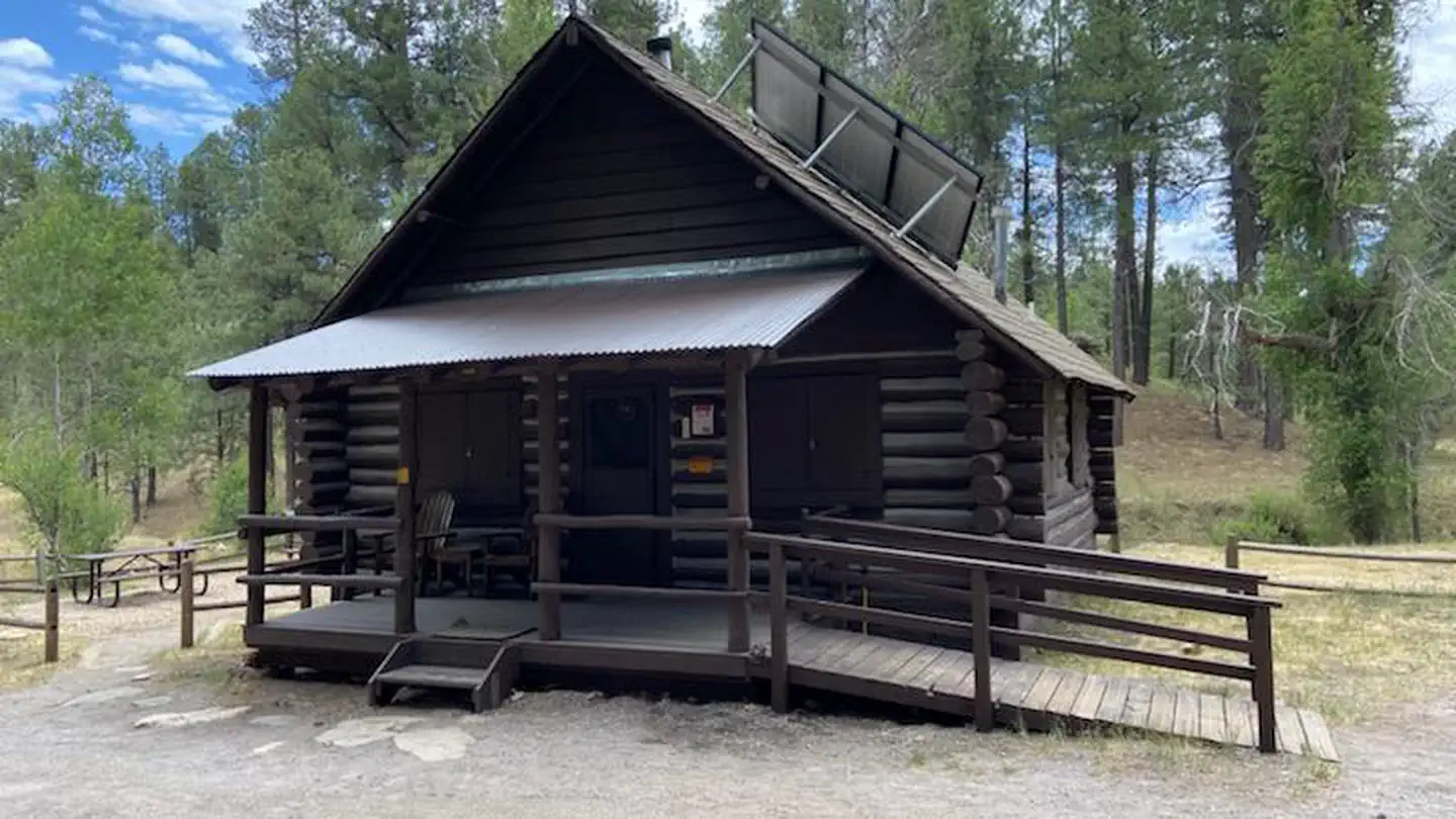
On the National Register nearby
- Chapel of the Holy CrossBuilding · Sedona · 0.7 mi
- Hart StoreBuilding · Sedona · 1.6 mi
- Jordan RanchBuilding · Sedona · 2.5 mi
Natural features
Chavez Crossing is in a high desert region situated at the base of the Mogollon Rim, a 200-mile long slope that ranges between 5,000 and 7,000 ft elevation. The unique landscape creates erosion that has shaped spectacular canyons and buttes that make the region an appealing attraction.
Recreation
Go wading or fishing in the crystal clear waters of Oak Creek or take a stroll with your camera to photograph the unique flora, fauna and rock formations. Cathedral Rock and Bell Rock are famous nearby attractions, perfect for exploring or photographing.
Guidebooks for Arizona
We earn a small commission if you buy through these links. It does not change what we list.
- Best Backpacking Trips in Utah, Arizona, and New MexicoMike White and Douglas Lorain, 2016Find at Bookshop.org
Titles come from Open Library's catalog, matched by subject heading or by title.
Reference
Questions people ask
Do I need a reservation at Chavez Crossing?
Sites at Chavez Crossing are reservable on Recreation.gov. Recreation.gov. Any walk-up sites are listed on the booking page.
Source: Recreation.gov
How much does it cost to camp at Chavez Crossing?
Sycamore Group Site: $120 per night, per group (10-30 people); difficult to navigate for larger vehicles (max vehicle capacity 10 regular vehicles or 1-2 small to mid-size RVs, estimated for max 25ft RVs).
Source: Recreation.gov
What time is check-in at Chavez Crossing?
Check-in 2:00 PM, checkout 11:00 AM.
Source: Recreation.gov
Is Chavez Crossing open right now?
Open as of Oct 16, 2026. Season Year-round.
Source: Forest Service status
How many sites does Chavez Crossing have?
3 sites, including 3 group sites.
Source: Recreation.gov
Will my RV fit at Chavez Crossing?
The longest site here provides 35 feet of vehicle capacity. Most sites are shorter. The sidebar tool checks a trailer or motorhome length against every site.
Source: Will my RV fit
Are pets allowed at Chavez Crossing?
Yes, pets are allowed at Chavez Crossing. Leash rules apply.
Source: Recreation.gov
Can I have a campfire at Chavez Crossing?
Fires are allowed in the provided rings under normal conditions. As of 2026-10-16, there are 4 active fires within 50 miles, so check current restrictions before you light one. No radios or amplified devices allowed.
Source: Fire nearby
Is Chavez Crossing good for stargazing?
Sedona, Arizona, a certified International Dark Sky Community, is 1.1 miles away. Skies that dark carry for miles; a moonless night here should show the Milky Way.
Source: DarkSky International
Is there cell service at Chavez Crossing?
FCC coverage maps show Verizon 4G LTE, AT&T 4G LTE, and T-Mobile 5G at the campground point. Terrain changes that from one site to the next.
Source: FCC Broadband Map
What is there to do at Chavez Crossing?
Go wading or fishing in the crystal clear waters of Oak Creek or take a stroll with your camera to photograph the unique flora, fauna and rock formations. The Recreation section on this page has the rest.
Source: Recreation
What if Chavez Crossing is full?
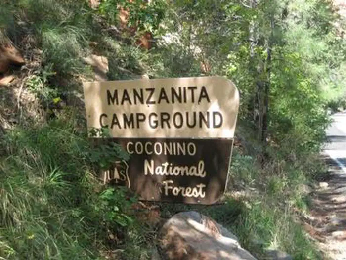
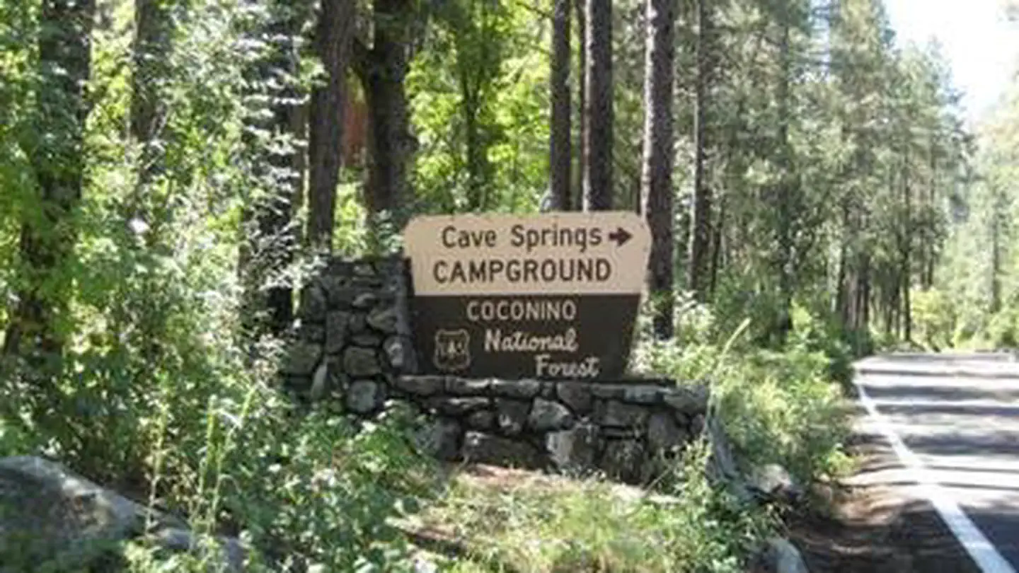
The nearest public campgrounds are Manzanita (7.1 mi, partly first-come), Cave Spring (10.8 mi), and Pine Flat Campground West (11.9 mi).
Source: Campgrounds nearby