Christopher Creek
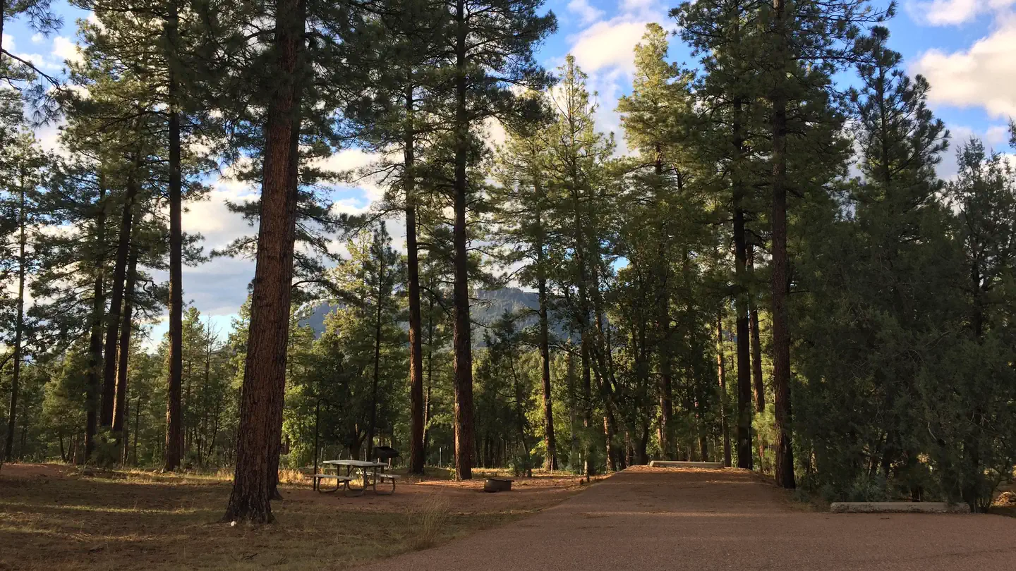
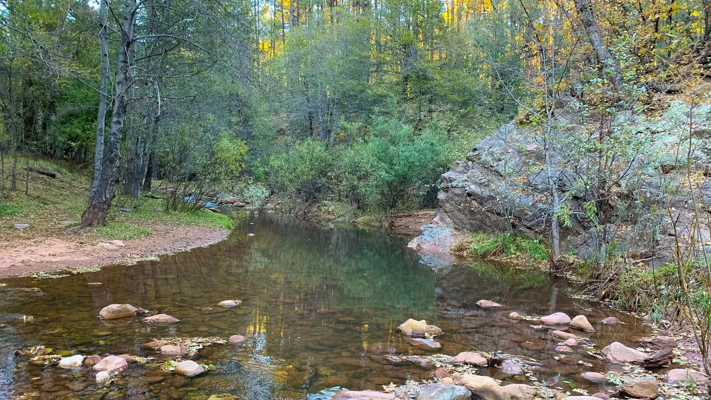
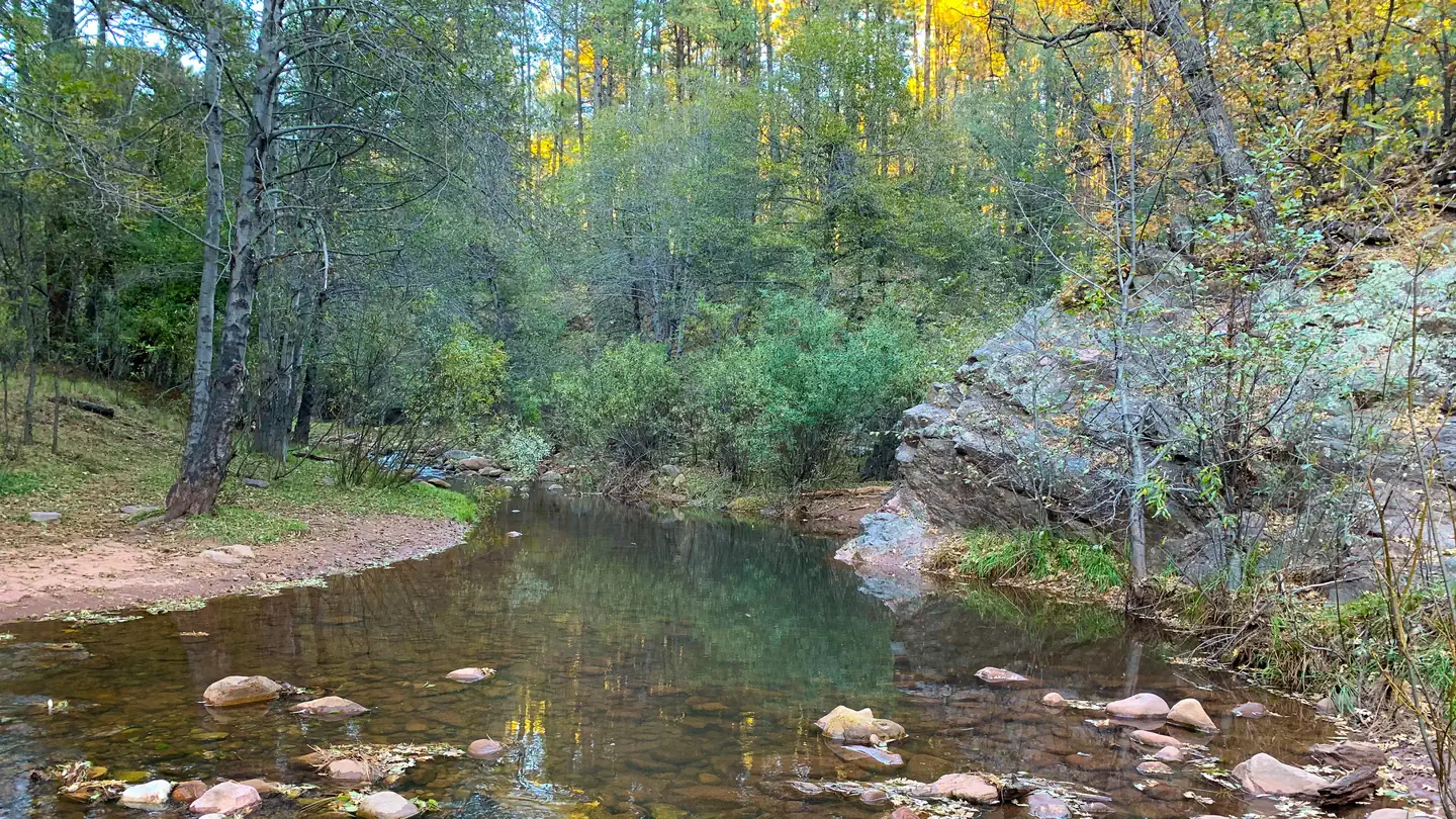
With an elevation of 5640 ft, Christopher Creek Campground's crisp, fresh air and vibrant views are a joy to behold. The campground is tucked along the banks of the spring-fed Christopher Creek, which passes just below the Mogollon Rim. This campground is typically open April-November. The Mogollon Rim, pronounced by locals as "muggy-own," is a 200-mile long cliff in northern Arizona that ranges between 5,000 and 7,000 ft in elevation. The unique landscape was created by extreme erosion and faulting that has sculpted spectacular canyons and buttes. The rim serves as the geographical dividing line between the cool high country above and the hot, dry desert below.
Some sites take reservations on Recreation.gov. Others are first-come, first-served.
More like this: electric hookups in Arizona · first-come in Arizona · reservable in Arizona · pets allowed in Arizona · group sites in Arizona
Check availability on Recreation.gov ↗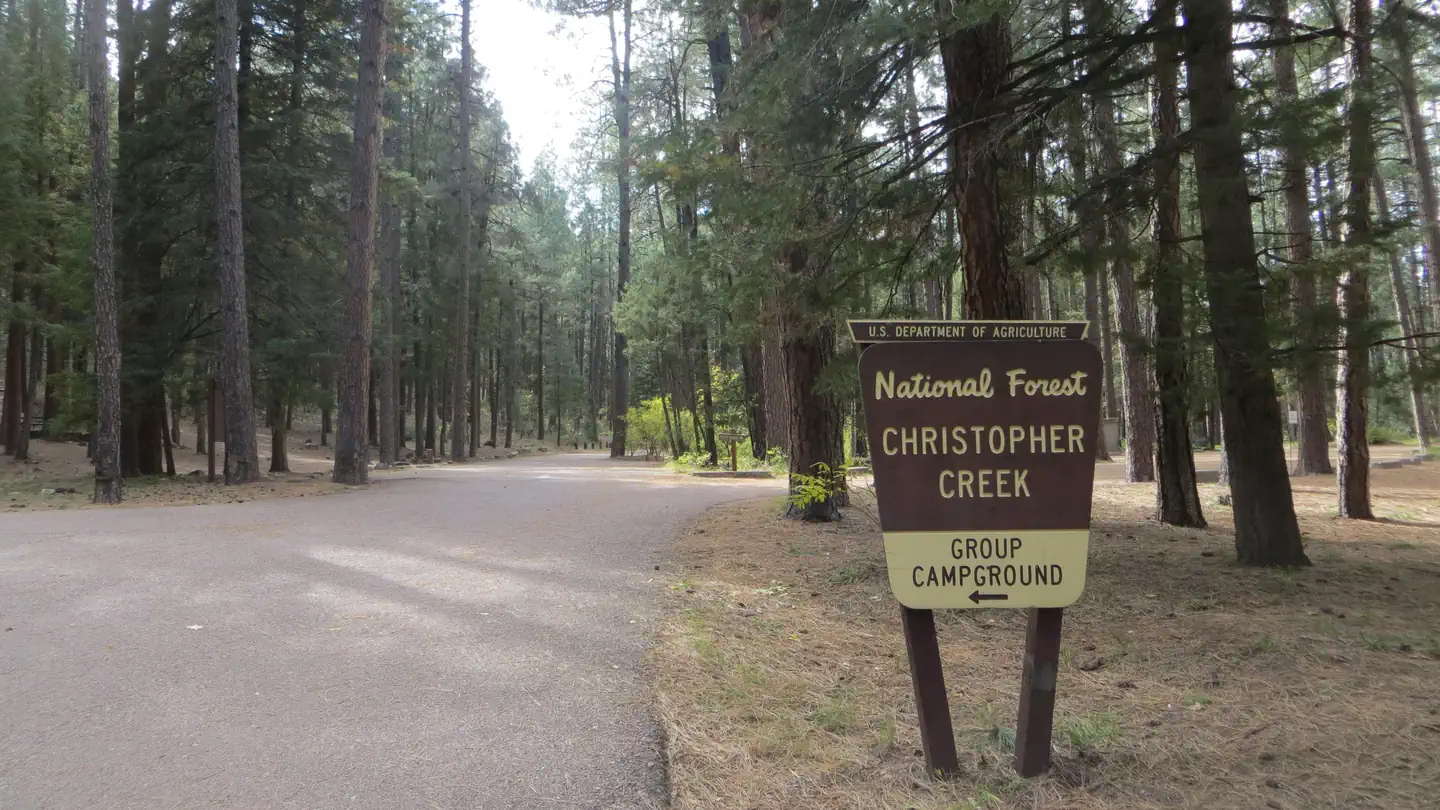
Site mix
| Standard, no hookups | 43 |
| Group sites | 1 |
Site guide
Will my RV fit
The longest site here provides 22 feet of vehicle capacity. Most sites are shorter.
44 sites in 2 loops. Tap a filter to narrow the list; the map follows.
| Site | Loop | Type | Entry | Fits, ft | Surface | Shade | Power | Water / sewer | Waterfront | People / vehicles | Fires | Rating |
|---|---|---|---|---|---|---|---|---|---|---|---|---|
| 001 | A | Standard | 32 | Paved | Partial | No | No / No | 10 / 2 | Yes | Standard | ||
| 002 | A | Standard | 45 | Paved | Full | No | No / No | 10 / 2 | Yes | Standard | ||
| 005 | A | Standard | Back-in | 22 | Paved | Partial | No | No / No | 10 / 2 | Yes | Standard | |
| 006 | A | Standard | 22 | Paved | Partial | No | No / No | 10 / 2 | Yes | Standard | ||
| 007 | A | Standard | Back-in | 22 | Paved | Partial | No | No / No | 10 / 2 | Yes | Standard | |
| 008 | A | Standard | Back-in | 22 | Paved | Partial | No | No / No | 10 / 2 | Yes | Standard | |
| 009 | A | Standard | Back-in | 22 | Paved | Partial | No | No / No | 10 / 2 | Yes | Standard | |
| 0010 | A | Standard | Back-in | 22 | Paved | Partial | No | No / No | 10 / 2 | Yes | Standard | |
| 0011 | A | Standard | Back-in | 22 | Paved | Partial | No | No / No | 10 / 2 | Yes | Standard | |
| 0012 | A | Standard | Back-in | 22 | Gravel | Partial | No | No / No | 10 / 2 | Yes | Standard |
Per-site records as published by the managing agency on Recreation.gov. Blank cells mean the agency listed nothing for that site. Check-in 2:00 PM, checkout 11:00 AM.
Amenities & rules
| Hookups | Electric |
| Max vehicle length | 22 ft |
| Equipment | RVs & trailers, Tents |
| Pets | Allowed |
| Campfires | Allowed, subject to restrictions |
The family-friendly campground has 43 sites on both sides of the creek, plus a group site that accommodates a maximum of 25 people. Most sites in this campground are reservable with only a few First come First serve sites, for first-come-first-served customers with payment completed using the on-site fee machine. No cash is accepted. There is a separate day use/picnic area within the campground.
Individual sites vary. Confirm on Recreation.gov or with the managing office.
Season & status
| Status | Open |
| Season | April to October |
| Forest | Tonto National Forest |
| Booking | April 1 - April 14, all sites are first come, first serve. April 15 - October 31, reservations are to be made on Recreation.gov. |
| Fees | Automatic fee machine is available on site located in the Day Use Area, please follow the instructions. $24 per night for standard sites; $80 per night for group site. |
| Rules | 14-day stay limit. The group site accommodates a maximum of 25 people. No firewood sales and no dump station. On-site automatic fee machine (no cash or checks accepted). No OHV recreational riding within the campground. Dogs are allowed and must be kept on a leash. Please use trash receptacles or pack it in, pack it out. All campgrounds have posted Rules & Regulations at entrance kiosks. |
Weather by month
Getting there
From Payson, Arizona, take Highway 260 east for 21 miles to the Christopher Creek Campground turnoff. Take Forest Road for 1/4 mile to the campground, Ask host for directions to campsite.
| Nearest town | Payson, Arizona |
| Coordinates | 34.3081° N, 111.0347° W · Directions ↗ |
Good to know
- Please note if you park and use this area it is a separate fee, covered under the Tonto Pass program.
Fire nearby
- PrescribedD2 Sinkhole Rx
9 mi from the campground · 875 acres
- PrescribedD2 Vincent Rx
10 mi from the campground · 2,258 acres
- PrescribedD2 Dye Rx
11 mi from the campground · 5,246 acres
- PrescribedTillman Rx
13 mi from the campground
Distance is to the reported incident point, not the fire edge. Call the managing office before you drive.
Supplies & services
| Dump station | Woods Canyon Dump Station ↗ | 5.3 mi |
Locations © OpenStreetMap contributors. Call ahead; hours change seasonally.
Explore
Video
Christopher Creek Campground - Tonto National Forest, AZ
Worth a stop
The small town of Christopher Creek is just a short drive away and offers a few restaurant options for those who tire of cooking at the campground. A series of lakes called the Rim Country Lakes are about a 10 minute drive east. Woods Canyon Lake is one of the most popular recreational lakes in the state and offers options for boating as well as a nature trail that loops around the lake's perimeter.
- 3.8 miDrew Trailhead ↗Trailhead
- 4.2 miCarr Lake Trailhead ↗Trailhead
- 5.3 miRocky Point Picnic Site ↗Day use
- 8 mi
- 8.7 miWillow Springs Lake Fishing And Boating Site ↗Fishing site
Trails nearby
- 2.4 miSee Canyon2.4 mi trail · hiking, horse, bike
- 2.5 miBear Flat ↗6.5 mi trail · hiking, horse
- 2.6 miPromontory Snowmobile Loop ↗4.6 mi trail · snowmobile, snowshoe, ski
- 2.7 miMescal Ridge3.1 mi trail · hiking, horse
- 2.8 miSee Spring0.6 mi trail · hiking, horse, bike
- 2.9 miBig Ridge ↗5 mi trail · hiking, horse
Trail and trailhead records are the Forest Service's. Distances are straight-line to the nearer trail end. Trail conditions are not tracked here.
Public land it sits in
This campground sits inside Tonto National Forest.
- inTonto National Forest ↗National Forest · Forest Service · 2,966,417 acres
- 3.6 miHellsgate Wilderness ↗Wilderness · Forest Service · 37,457 acres
Each unit is published as a centre point and an acreage rather than a boundary, so this section stands it in for a circle of the same area. Whether a campground is inside, and how far it is from one it is outside, are both approximate.
Other campgrounds nearby

On the National Register nearby
- Promontory Butte Lookout ComplexStructure · Beaver Park · 4.3 mi
- Diamond Point Lookout CabinBuilding · Tonto Village · 9.1 mi
- Pleasant Valley Ranger StationBuilding · Young · 14.4 mi
Natural features
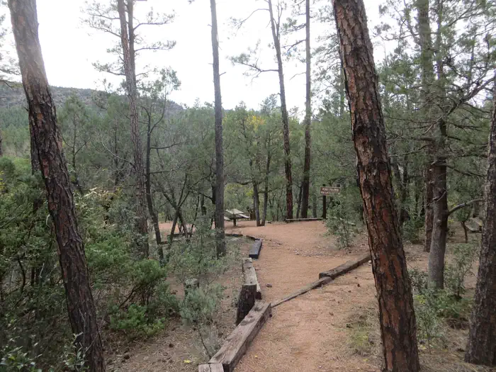
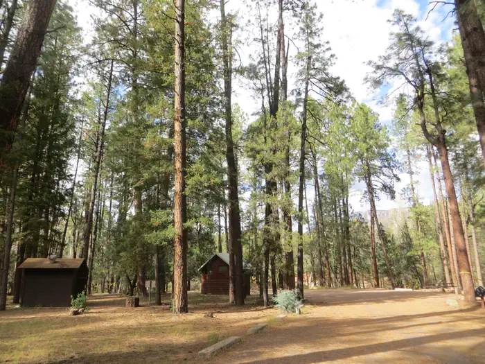
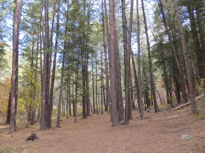
Christopher Creek provides creek side dwelling in Tonto National Forest, at the base of the Mogollon Rim. Sites are surrounded by ponderosa pines, junipers, oaks and manzanita evergreen shrubs.
Recreation
After a day of exploring the natural beauty of Rim Country, sit back and relax in the shaded Ponderosa Pine Forest. Each spring, the creek is stocked with rainbow trout, allowing anglers the opportunity to cast their hearts out for rainbows as well as brook and brown trout. Access the National Recreation Highline trail close by.
Guidebooks for Tonto National Forest and Arizona
We earn a small commission if you buy through these links. It does not change what we list.
Titles come from Open Library's catalog, matched by subject heading or by title.
Reference
Questions people ask
Do I need a reservation at Christopher Creek?
For some sites. Some sites take reservations on Recreation.gov. Others are first-come, first-served.
Source: Recreation.gov
How much does it cost to camp at Christopher Creek?
Automatic fee machine is available on site located in the Day Use Area, please follow the instructions. $24 per night for standard sites; $80 per night for group site.
Source: Recreation.gov
What time is check-in at Christopher Creek?
Check-in 2:00 PM, checkout 11:00 AM.
Source: Recreation.gov
Is Christopher Creek open right now?
Open as of Oct 16, 2026. Season April to October.
Source: Forest Service status
How many sites does Christopher Creek have?
44 sites, including 43 standard sites without power and 1 group site.
Source: Recreation.gov
Will my RV fit at Christopher Creek?
The longest site here provides 22 feet of vehicle capacity. Most sites are shorter. The sidebar tool checks a trailer or motorhome length against every site.
Source: Will my RV fit
Does Christopher Creek have hookups?
Yes, electric hookups at some sites.
Source: Recreation.gov
Are pets allowed at Christopher Creek?
Yes, pets are allowed at Christopher Creek. Leash rules apply.
Source: Recreation.gov
Can I have a campfire at Christopher Creek?
Fires are allowed in the provided rings under normal conditions. As of 2026-10-16, there are 4 active fires within 50 miles, so check current restrictions before you light one. 14-day stay limit.
Source: Fire nearby
Is there cell service at Christopher Creek?
FCC coverage maps show Verizon 5G, AT&T 5G, and T-Mobile 5G at the campground point. Terrain changes that from one site to the next.
Source: FCC Broadband Map
What is there to do at Christopher Creek?
After a day of exploring the natural beauty of Rim Country, sit back and relax in the shaded Ponderosa Pine Forest. The Recreation section on this page has the rest.
Source: Recreation
What is the nearest town to Christopher Creek?
Payson, Arizona. The small town of Christopher Creek is just a short drive away and offers a few restaurant options for those who tire of cooking at the campground.
Source: Getting there