Lower Tonto Creek
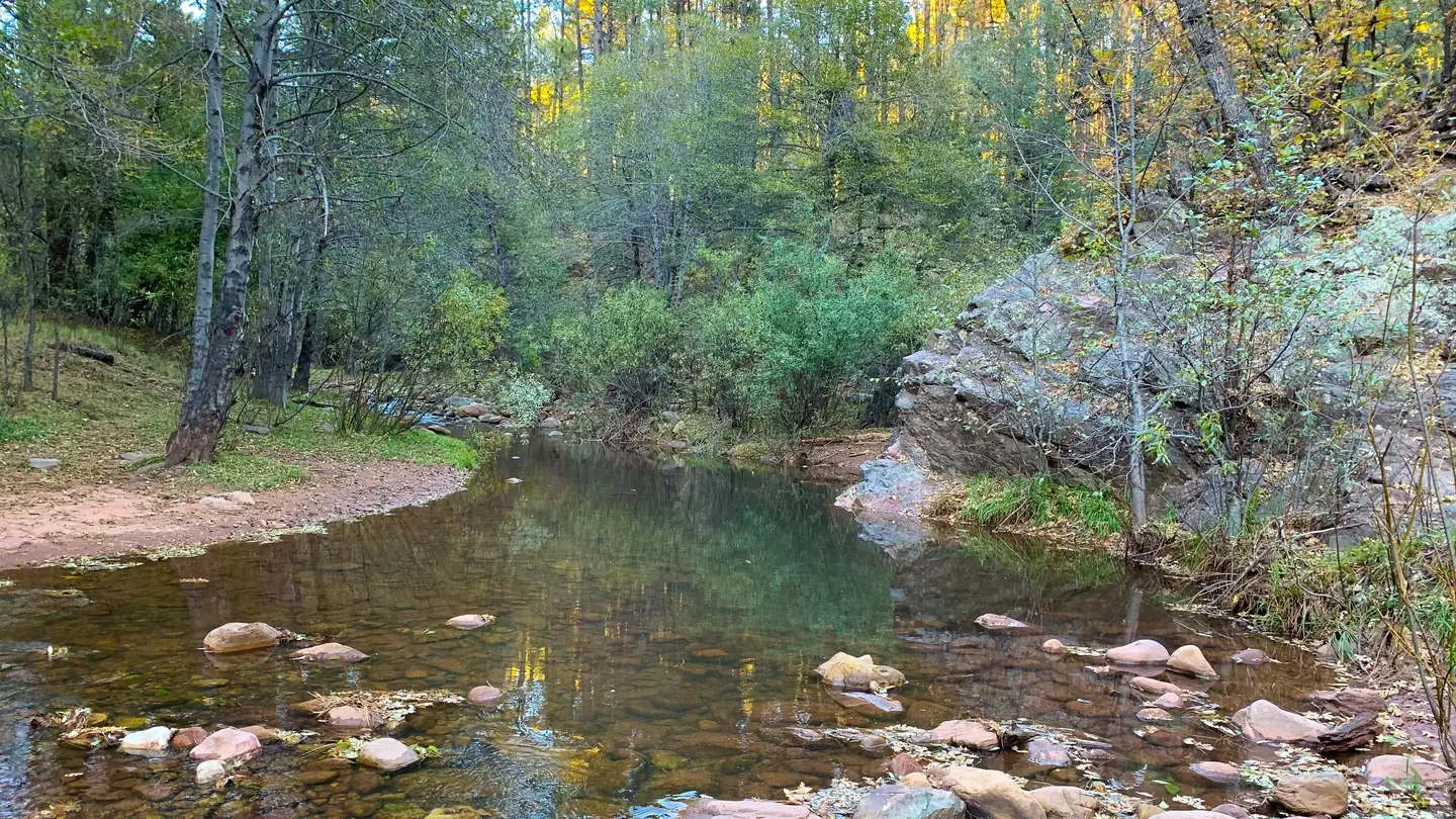
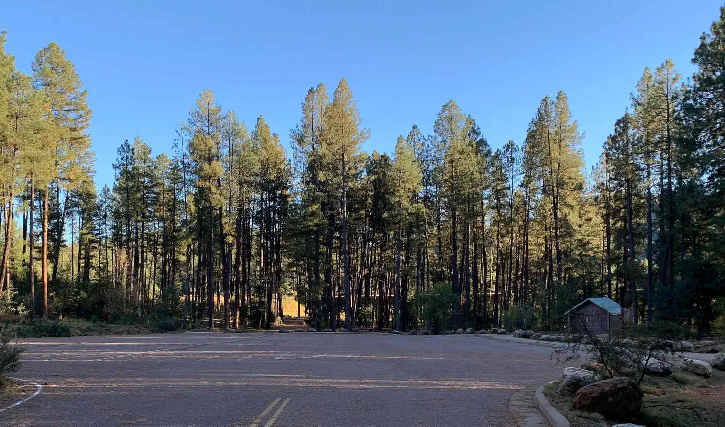
The Lower Tonto Creek Campground is tucked away right next to the main highway just south of where the Tonto and Horton Creeks merge. Families may enjoy fishing at both Tonto and Horton Creeks or pass time hiking through nearby Horton Creek Trail or Derrick Trail. The Lower Tonto Creek Campground has a large open-space parking lot and paved walkway makes it accessible with only a light hike to the creek. There is no adjacent parking spot to any camp site. Walk-in access only to all campsites (paved sidewalk is provided).
Sites are first-come, first-served. Recreation.gov lists this campground for paying on site, and you may be able to pay with the Scan and Pay feature of its app.
More like this: first-come in Arizona · tent only in Arizona · pets allowed in Arizona
Site mix
| Walk-in | 9 |
| Host/management | 4 |
Amenities & rules
| Equipment | Tents |
| Pets | Allowed |
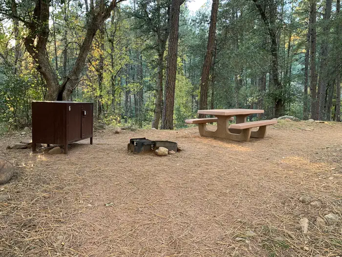
| Campfires | Allowed, subject to restrictions |
Individual sites vary. Confirm on Recreation.gov or with the managing office.
Season & status
| Status | Open |
| Season | April to October |
| Forest | Tonto National Forest |
| Fees | Scan & Pay only accepted (No cash or checks accepted) Download Recreation.gov app (app information) and log into account before heading to campground. See instructions here. $20 per night for campsites. |
| Rules | 14-day stay limit. No OHV recreational riding within the campground. No firewood sales, no dump station and no shower building. Dogs are allowed and must be kept on a leash. Please use trash receptacles or pack it in, pack it out. All campgrounds have posted Rules & Regulations at entrance kiosks. Please read and observe all rules. |
Weather by month
Getting there
This site is 15 miles northeast of Payson. From Payson, travel 15 miles east on State Hwy. 260. Just east of mile marker 269 at Kohl’s Ranch, turn left (north) on Forest Road (FR) 289.
| Coordinates | 34.3325° N, 111.0973° W · Directions ↗ |
Good to know
- This campground is right next to Hwy 260 and receives a considerable amount of traffic noise and light throughout the day & night.
Fire nearby
- PrescribedD2 Vincent Rx
11 mi from the campground · 2,258 acres
- PrescribedD2 Sinkhole Rx
13 mi from the campground · 875 acres
- PrescribedD2 Dye Rx
13 mi from the campground · 5,246 acres
- PrescribedTillman Rx
15 mi from the campground
Distance is to the reported incident point, not the fire edge. Call the managing office before you drive.
Supplies & services
| Dump station | Woods Canyon Dump Station ↗ | 8.8 mi |
Locations © OpenStreetMap contributors. Call ahead; hours change seasonally.
Explore
Video
SQUIRRELS gone NUTS 🐿️TONTO Creek and CHRISTOPHER Creek Campground - Mogollon Rim
Worth a stop
- 6.7 miTwo-O-Eight Trailhead ↗Trailhead
- 6.7 miDrew Trailhead ↗Trailhead
- 8.5 miRocky Point Picnic Site ↗Day use
- 11.8 mi
- 12.4 miWillow Springs Lake Fishing And Boating Site ↗Fishing site
Trails nearby
- 0.4 miDerrick Spur0.9 mi trail · hiking, horse, bike
- 0.5 miDerrick2.2 mi trail · hiking, horse, bike
- 0.5 miHorton Creek3.8 mi trail · hiking, horse, bike
- 3.2 miBabe Haught1.9 mi trail · hiking, horse
- 3.4 miHorton Spring1.2 mi trail · hiking, horse, bike
- 3.6 miPromontory Snowmobile Loop ↗4.6 mi trail · snowmobile, snowshoe, ski
Trail and trailhead records are the Forest Service's. Distances are straight-line to the nearer trail end. Trail conditions are not tracked here.
Public land it sits in
This campground sits inside Tonto National Forest.
- inTonto National Forest ↗National Forest · Forest Service · 2,966,417 acres
- 5.4 miHellsgate Wilderness ↗Wilderness · Forest Service · 37,457 acres
Each unit is published as a centre point and an acreage rather than a boundary, so this section stands it in for a circle of the same area. Whether a campground is inside, and how far it is from one it is outside, are both approximate.
Other campgrounds nearby
On the National Register nearby
- Promontory Butte Lookout ComplexStructure · Beaver Park · 5.4 mi
- Diamond Point Lookout CabinBuilding · Tonto Village · 6.3 mi
Natural features
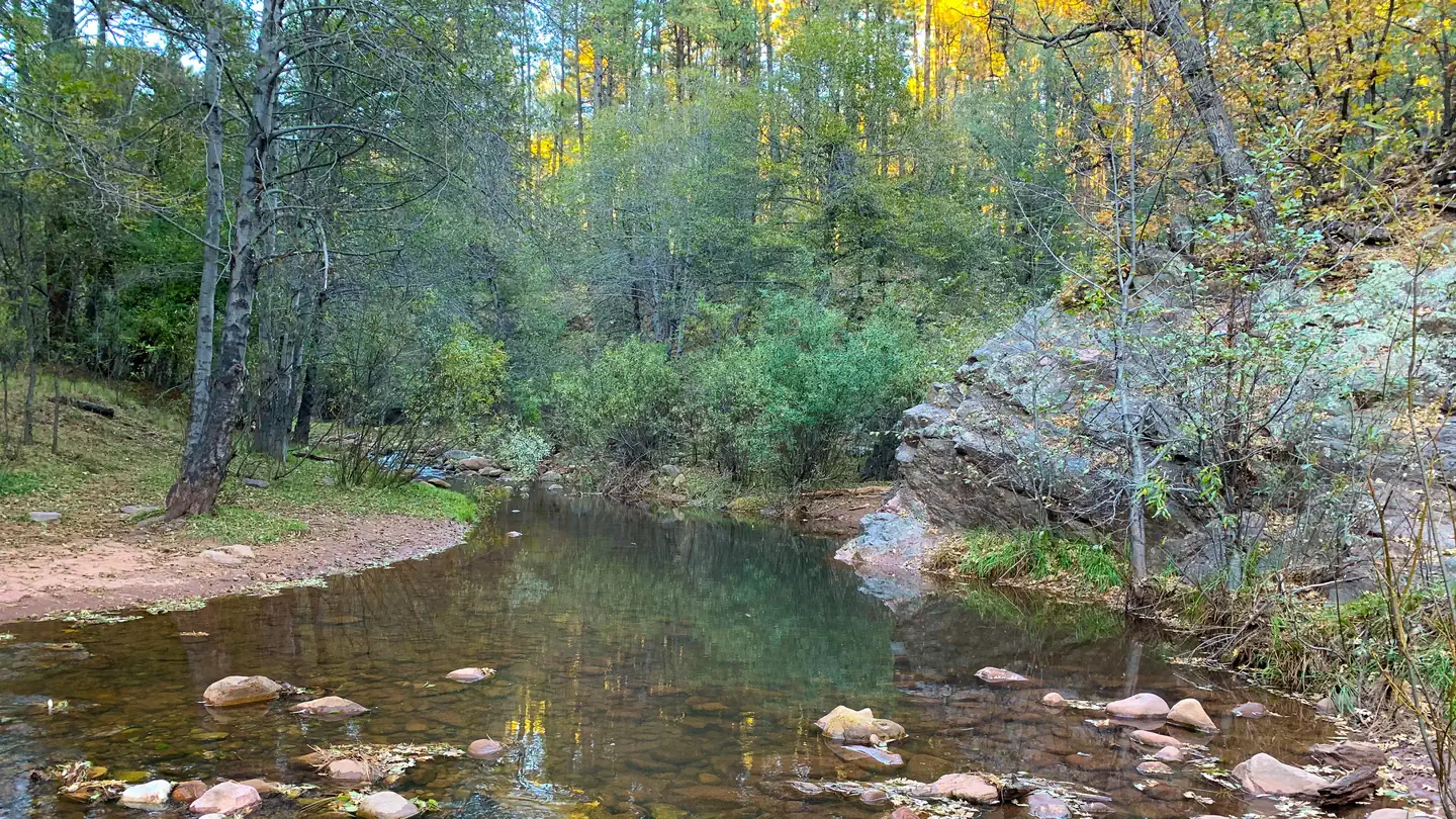
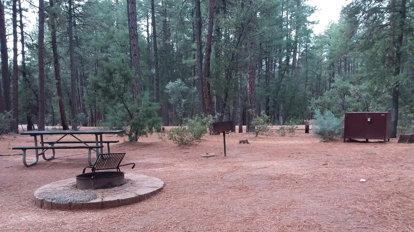
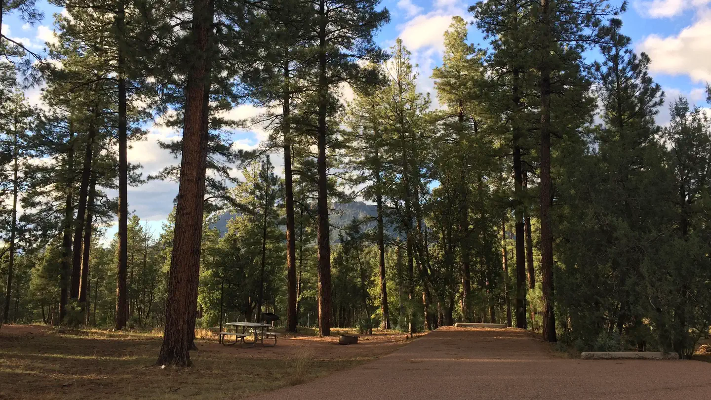
Located just South of where the Tonto and Horton Creeks merge. Campsites are dotted along a paved sidewalk surrounded by tall Pines, situated just next to Tonto Creek.
Recreation
The union of Tonto and Horton Creeks is at the north end of the Upper Tonto Creek campground. Fishing in both creeks is a popular sport. The trailheads for Horton Creek Trail 285 and Derrick Trail 33 are located in the Upper Tonto Creek campground. Both of these trails access the Highline National Recreation Trail (#31
Guidebooks for Tonto National Forest and Arizona
We earn a small commission if you buy through these links. It does not change what we list.
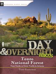
Titles come from Open Library's catalog, matched by subject heading or by title.
Reference
Questions people ask
Do I need a reservation at Lower Tonto Creek?
No. Lower Tonto Creek is first-come, first-served. Sites are taken on arrival and paid at the fee station.
Source: Forest Service
How much does it cost to camp at Lower Tonto Creek?
Scan & Pay only accepted (No cash or checks accepted) Download Recreation.gov app (app information) and log into account before heading to campground. See instructions here. $20 per night for campsites.
Source: Forest Service
What time is check-in at Lower Tonto Creek?
Check-in 2:00 PM, checkout 11:00 AM.
Source: Forest Service
Is Lower Tonto Creek open right now?
Open as of Oct 16, 2026. Season April to October.
Source: Forest Service status
How many sites does Lower Tonto Creek have?
13 sites, including 9 walk-in sites.
Source: Forest Service
Can I bring an RV to Lower Tonto Creek?
Lower Tonto Creek is listed for tents only.
Source: Forest Service
Are pets allowed at Lower Tonto Creek?
Yes, pets are allowed at Lower Tonto Creek. Leash rules apply.
Source: Forest Service
Can I have a campfire at Lower Tonto Creek?
Fires are allowed in the provided rings under normal conditions. As of 2026-10-16, there are 4 active fires within 50 miles, so check current restrictions before you light one. 14-day stay limit.
Source: Fire nearby
What is there to do at Lower Tonto Creek?
The union of Tonto and Horton Creeks is at the north end of the Upper Tonto Creek campground. The Recreation section on this page has the rest.
Source: Recreation
What if Lower Tonto Creek is full?
The nearest public campgrounds are Upper Tonto Creek (0.5 mi), Ponderosa (2.5 mi, partly first-come), and Christopher Creek (4 mi, partly first-come).
Source: Campgrounds nearby