Cottonwood Campground
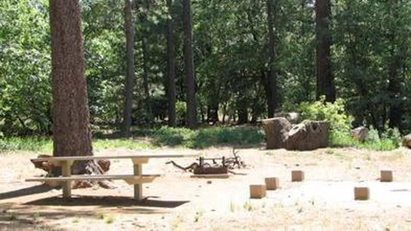
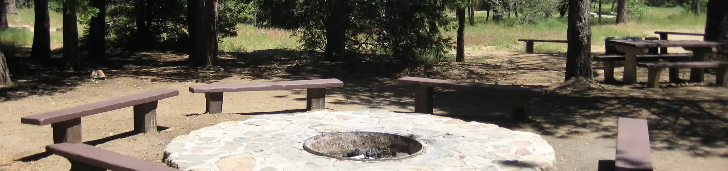
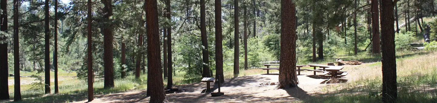
Among the live oaks in southeastern San Diego County is Cottonwood Campground. The campground offers a tranquil and refreshing experience. Cottonwood Campground is an excellent starting point for day hikes, overnight backpacking trips, and equestrian use. The campground is located in the McCain Valley Resource Conservation Area. A trail out of the campground leads to the Sombrero Peak Area, Upper Bow Willow Canyon, and Anza-Borrego Desert State Park. The Pepperwood Trail and Sombrero Peak Trail are both rated moderate to strenuous. The trails are sandy in composition and meander through public, state, and private lands. Elevations range from 3,000 to 4,500 feet.
More like this: first-come in California

Weather by month
Getting there
From Interstate 8, take the Boulevard exit. Proceed south to the first stop sign. Turn left/east on Old Highway 80. After approximately 2 miles, turn left on McCain Valley Road. A sign with mileage information is located at the junction of McCain Valley Road and the road to Sacatone overlook.
| Nearest town | E Centro, California |
| Coordinates | 32.8002° N, 116.3383° W · Directions ↗ |
Supplies & services
| Dump station | Dump station ↗ | 10.6 mi |
| Outdoor gear | Borrego Outfitters ↗ | 31.6 mi |
| RV sales & service | Bobby Combs RV Centers - El Cajon ↗ | 34.4 mi |
Locations © OpenStreetMap contributors. Call ahead; hours change seasonally.
Explore
Video
Cottonwood BLM Campground Tour -- Salmon River Camping in Idaho
Worth a stop
- 6.3 miRed-Tailed Roost Trailhead ↗Trailhead
- 6.5 miDesert View Picnic Site ↗Day use
- 6.8 miAgua Dulce Equestrian Trailhead ↗Trailhead
- 11.9 miPioneer Mail Picnic Site ↗Day use
Public land it sits in
Carrizo Gorge Wilderness begins about 3 miles away, and it is the closest of these.
- 3 miCarrizo Gorge Wilderness ↗Wilderness · Bureau of Land Management · 14,740 acres
- 3 miSawtooth Mountains Wilderness ↗Wilderness · Bureau of Land Management · 33,772 acres
- 6.1 miCleveland National Forest ↗National Forest · Forest Service · 561,887 acres
Each unit is published as a centre point and an acreage rather than a boundary, so this section stands it in for a circle of the same area. Whether a campground is inside, and how far it is from one it is outside, are both approximate.
Other campgrounds nearby

Guidebooks for California
We earn a small commission if you buy through these links. It does not change what we list.

Titles come from Open Library's catalog, matched by subject heading or by title.
Reference
Questions people ask
Do I need a reservation at Cottonwood Campground?
No. Cottonwood Campground is first-come, first-served. Sites are taken on arrival and paid at the fee station.
Source: How first-come camping works
What is the nearest town to Cottonwood Campground?
E Centro, California.
Source: Getting there
What if Cottonwood Campground is full?
The nearest public campgrounds are Burnt Rancheria (6.2 mi), Cibbets Flat Campground (6.5 mi, first-come), and Wooded Hill Group (6.5 mi).
Source: Campgrounds nearby