Burnt Rancheria
Burnt Rancheria Campground is located 50 miles east of San Diego at the Laguna Mountain Recreation Area in Southern California, right off the Sunrise Scenic Byway. Campers can enjoy hiking, viewing unique birds and wildlife and enjoying cooler temperatures at this mountain facility in Cleveland National Forest, open from mid-April through October.
More like this: reservable in California · big rigs in California · pets allowed in California
Check availability on Recreation.gov ↗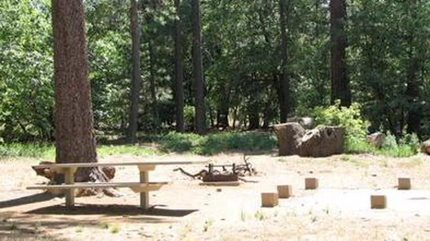
Site mix
| Standard, no hookups | 48 |
| Tent-only | 8 |
| Host/management | 68 |
Site guide
Will my RV fit
The longest site here provides 50 feet of vehicle capacity. Most sites are shorter.
56 sites in 4 loops. Tap a filter to narrow the list; the map follows.
| Site | Loop | Type | Entry | Fits, ft | Surface | Shade | People / vehicles | Fires | Accessible |
|---|---|---|---|---|---|---|---|---|---|
| 013 | Amphitheater | Standard | Back-in | 38 | Paved | Partial | 8 / 1 | Yes | |
| 014 | Amphitheater | Standard | Back-in | 42 | Paved | 8 / 1 | Yes | ||
| 017 | Amphitheater | Standard | Back-in | 50 | Paved | Full | 8 / 1 | Yes | |
| 018 | Amphitheater | Standard | Back-in | 50 | Paved | Full | 8 / 1 | Yes | |
| 033 | Amphitheater | Standard | Back-in | 40 | Paved | Full | 8 / 1 | Yes | |
| 035 | Amphitheater | Standard | Back-in | 25 | Paved | 8 / 1 | Yes | ||
| 036 | Amphitheater | Tent only | Back-in | Paved | Partial | 8 / 1 | Yes | ||
| 037 | Amphitheater | Tent only | Back-in | Paved | Full | 8 / 1 | Yes | Yes | |
| 039 | Amphitheater | Standard | Back-in | 30 | Paved | 8 / 1 | Yes | ||
| 041 | Amphitheater | Tent only | Back-in | Paved | Partial | 8 / 1 | Yes |
Per-site records as published by the managing agency on Recreation.gov. Blank cells mean the agency listed nothing for that site. Check-in 2:00 PM, checkout 11:00 AM.
Amenities & rules
| Hookups | None |
| Max vehicle length | 99 ft |
| Equipment | RVs & trailers, Tents |
| Pets | Allowed |
| Campfires | Allowed, subject to restrictions |
| Accessibility | Sites 037, 012 are listed accessible |
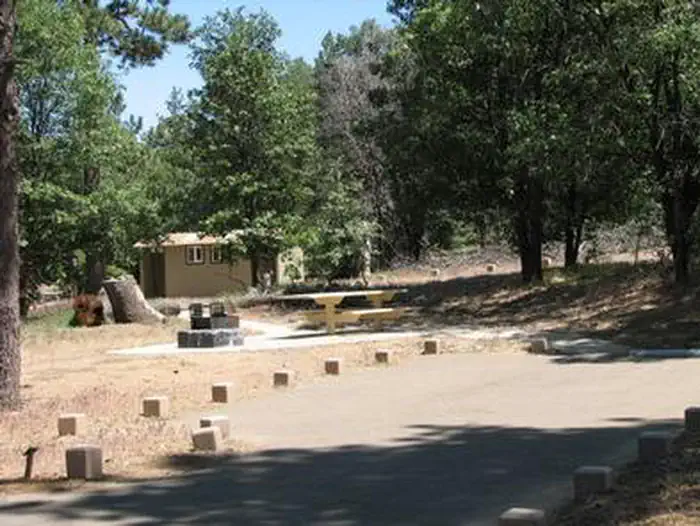
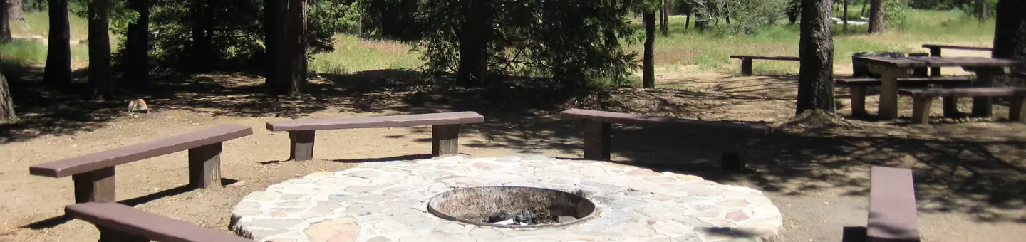
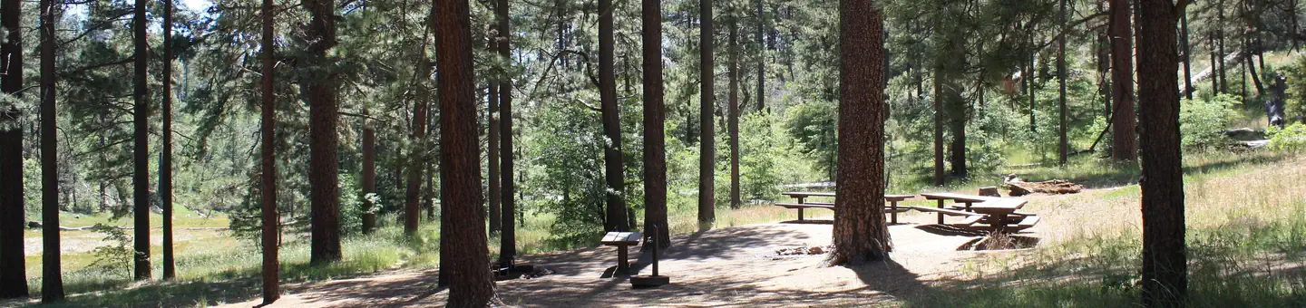
Burnt Rancheria is a large campground with several loops of campsites. Each site has a table and campfire ring. There are no hookups or dump station for RVs; the nearest is located at the Buckman Springs Rest Area, 4 miles east of Pine Valley on I-8. The campground is equipped with restrooms and coin-operated showers (showers open only during reservation season). Firewood is available for purchase from the campground host.
Individual sites vary. Confirm on Recreation.gov or with the managing office.
Season & status
| Status | Closed for the season. Forest Service sites close for the season; check the official page for the reopening date. |
| Season | April |
| Forest | Cleveland National Forest |
| Booking | This site can be reserved by calling Toll Free 1-877-444-6777 (International 518-885-3639 or TDD 877-833-6777) or on-line at http://www.recreation.gov |
| Fees | Campsites $35/Night for single unit (one vehicle included). Extra vehicle $10 (over 2 allowed with each campsite/night). Parking at Day Use Parking Area $8 fee; leaving before 6PM. Day Use parking at campsite $13. A reservation charge is added to the price of the site using Recreation.gov |
| Rules | Vehicles 40 ft. max. |
Weather by month
Getting there
Located 50 miles east of San Diego, California. From I-8 take the Sunrise exit. Go approximately 11 miles to Milepost 23. Stop at entrance for campground information and site location.
| Nearest town | Mt. Laguna, California |
| Coordinates | 32.8614° N, 116.4161° W · Directions ↗ |
Good to know
- Biking is not allowed on any portion of the Pacific Crest Trail.
Supplies & services
| Dump station | Dump station ↗ | 9.1 mi |
| Outdoor gear | Borrego Outfitters ↗ | 27.3 mi |
| RV sales & service | Bobby Combs RV Centers - El Cajon ↗ | 30.2 mi |
Locations © OpenStreetMap contributors. Call ahead; hours change seasonally.
Explore
Video
Burnt Rancheria Campground, Cleveland National Forest, California
Worth a stop
- 0.5 miRed-Tailed Roost Trailhead ↗Trailhead
- 0.6 miDesert View Picnic Site ↗Day use
- 1.2 miAgua Dulce Equestrian Trailhead ↗Trailhead
- 5.8 miPioneer Mail Picnic Site ↗Day use
Trails nearby
- 0.2 miDesert View Nature1.4 mi trail · hiking, horse, bike
- 0.5 miKwaaymii Cultural0.5 mi trail · hiking, horse, bike
- 0.8 miRedtail Roost Loop Spur2.6 mi trail · hiking, horse, bike
- 1.1 miWooded Hill - Agua Dulce0.6 mi trail · hiking, horse, bike
- 1.3 miGatos Spur1.8 mi trail · hiking, horse, bike
- 1.3 miWooded Hill Nature Trail1.6 mi trail · hiking, horse, bike
Trailheads within three miles
- 0.5 miRed-tailed Roost Trailhead ↗Cleveland National Forest
- 1.2 miAgua Dulce Equestrian Trailhead ↗Cleveland National Forest
- 2.6 miMeadows Information Kiosk Trailhead ↗Cleveland National Forest
Trail and trailhead records are the Forest Service's. Distances are straight-line to the nearer trail end. Trail conditions are not tracked here.
Public land it sits in
Sawtooth Mountains Wilderness begins about 0.5 miles away, and it is the closest of these.
- 0.5 miSawtooth Mountains Wilderness ↗Wilderness · Bureau of Land Management · 33,772 acres
- 0.9 miCleveland National Forest ↗National Forest · Forest Service · 561,887 acres
- 9 miCarrizo Gorge Wilderness ↗Wilderness · Bureau of Land Management · 14,740 acres
Each unit is published as a centre point and an acreage rather than a boundary, so this section stands it in for a circle of the same area. Whether a campground is inside, and how far it is from one it is outside, are both approximate.
Other campgrounds nearby
Natural features
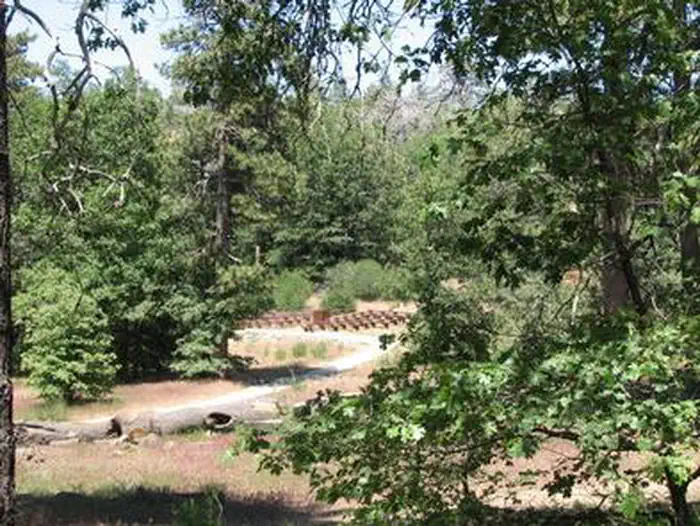
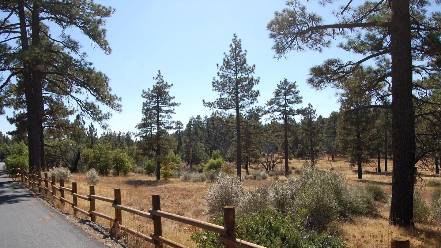
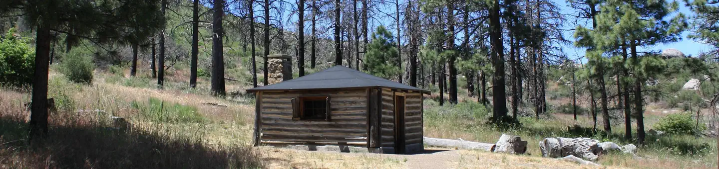
Pines and oaks abound throughout the campground, which sits at an elevation of 6,000 ft. The site is heavily wooded and surrounded by an open oak grove with spectacular desert views.
Recreation
Day hiking and picnicking are most popular at Burnt Rancheria. The facility provides easy access to a segment of the Pacific Crest Trail, a 2,650-mile national scenic trail that runs from Mexico to Canada. Hiking and horseback riding are allowed on the trail. A short hike to the nearby Desert View Picnic Site provides visitors with a bird's-eye view of the desert 6,000 feet below. On most days, the Salton Sea is clearly visible to the southeast. Restrooms and potable water are available. Families with children will enjoy activities, campfire programs and guided hikes available during summer. In addition to the guided hikes, a visitor might take the self-guided interpretive trail hike; brochures are available from the camp host. Campers can also get a glimpse of the amazing night sky at "star parties" organized by the San Diego State University Observatory.
Guidebooks for California
We earn a small commission if you buy through these links. It does not change what we list.

Titles come from Open Library's catalog, matched by subject heading or by title.
Reference
Questions people ask
Do I need a reservation at Burnt Rancheria?
Sites at Burnt Rancheria are reservable on Recreation.gov. This site can be reserved by calling Toll Free 1-877-444-6777 (International 518-885-3639 or TDD 877-833-6777) or on-line at http://www.recreation.gov Any walk-up sites are listed on the booking page.
Source: Recreation.gov
How much does it cost to camp at Burnt Rancheria?
Campsites $35/Night for single unit (one vehicle included). Extra vehicle $10 (over 2 allowed with each campsite/night). Parking at Day Use Parking Area $8 fee; leaving before 6PM.
Source: Recreation.gov
What time is check-in at Burnt Rancheria?
Check-in 0:00 AM, checkout 0:00 AM.
Source: Recreation.gov
Is Burnt Rancheria open right now?
Closed for the season as of Oct 16, 2026. Season April.
Source: Forest Service status
How many sites does Burnt Rancheria have?
124 sites, including 48 standard sites without power and 8 tent-only sites.
Source: Recreation.gov
Will my RV fit at Burnt Rancheria?
Recreation.gov lists no practical vehicle capacity limit for the largest site here, which usually means pull-through or open parking. The sidebar tool checks a trailer or motorhome length against every site.
Source: Will my RV fit
Are there showers or a dump station at Burnt Rancheria?
There are no hookups or dump station for RVs; the nearest is located at the Buckman Springs Rest Area, 4 miles east of Pine Valley on I-8.
Source: Recreation.gov
Are pets allowed at Burnt Rancheria?
Yes, pets are allowed at Burnt Rancheria. Leash rules apply.
Source: Recreation.gov
Can I have a campfire at Burnt Rancheria?
Fires are allowed in the provided rings under normal conditions. Vehicles 40 ft.
Source: Recreation.gov
Are there accessible sites at Burnt Rancheria?
Sites 037 and 012 are listed accessible on Recreation.gov. What that covers (a paved pad, an accessible table, a nearby accessible restroom) is on each site's booking page.
Source: Recreation.gov
Is there cell service at Burnt Rancheria?
FCC coverage maps show Verizon 5G, AT&T 5G, and T-Mobile 5G at the campground point. Terrain changes that from one site to the next.
Source: FCC Broadband Map
What is there to do at Burnt Rancheria?
Day hiking and picnicking are most popular at Burnt Rancheria. The Recreation section on this page has the rest.
Source: Recreation