Divine Springs Campground
Divine springs campground has 5 metal fire ring/bbq pits and tables. A small stream runs through the site, and is fenced off from livestock.
More like this: first-come in Nevada

Weather by month
Getting there
From intersection of CA299 and Modoc Co. Rd. 1 in Cedarville, travel S on Modoc Co. Rd. 1 for 15 miles to Eagleville. Turn left (East) onto Modoc co. Rd. 38/Hays Canyon Rd. Travel East on Hays Canyon Road for approximately 13 miles to ridge top fork and cattle guard.
| Nearest town | Alturas, Nevada |
| Coordinates | 41.3496° N, 119.8625° W · Directions ↗ |
No site-by-site records, no amenities, no fee schedule or photos in the Recreation.gov record. What is here comes from the agency's own listing. The rest lives there.
Checked nightly. Modules appear as soon as the record fills in.
Explore
Public land it sits in
South Warner Wilderness begins about 11.9 miles away, and it is the closest of these.
- 11.9 miSouth Warner Wilderness ↗Wilderness · Forest Service · 70,206 acres
Each unit is published as a centre point and an acreage rather than a boundary, so this section stands it in for a circle of the same area. Whether a campground is inside, and how far it is from one it is outside, are both approximate.
Other campgrounds nearby

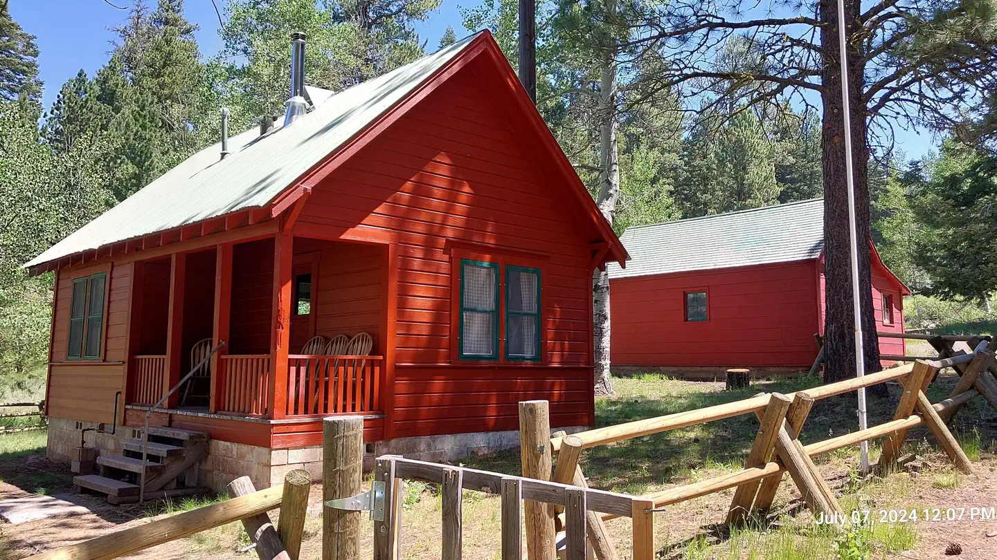
Cabin and lookout rentals nearby
Guidebooks for Nevada
We earn a small commission if you buy through these links. It does not change what we list.
- Best Backpacking Trips in California and NevadaMike White and Douglas Lorain, 2015Find at Bookshop.org
Titles come from Open Library's catalog, matched by subject heading or by title.
Reference
Questions people ask
Do I need a reservation at Divine Springs Campground?
No. Divine Springs Campground is first-come, first-served. Sites are taken on arrival and paid at the fee station.
Source: How first-come camping works
What is the nearest town to Divine Springs Campground?
Alturas, Nevada.
Source: Getting there
What if Divine Springs Campground is full?
The nearest public campgrounds are Emerson Campground (15.5 mi, first-come), East Creek Campground (20.3 mi, first-come), and Pepperdine Campground (20.8 mi, first-come).
Source: Campgrounds nearby