Bennett Creek Campground
The Bennett Peak Campground is in a scenic setting near the North Platte River, which makes it great for fishing and floating. The campground has 11 campsites, vault toilet, hand pump well, boat ramp, day use parking, and bank fishing accessible to persons with disabilities. Each campsite features a picnic table, fire ring/grill, sandy tent pad, and parking space. No pull-throughs please. Horses are not allowed in the campground. This riparian area boasts cottonwoods, ponderosa pine, Douglas fir, willows, juniper, mountain mahogany. Visitors will see a variety of wildlife including bald eagles, bighorn sheep, pronghorn wild turkeys, mule deer, mountain lions, grouse, rattlesnakes.
More like this: first-come in Wyoming

Weather by month
Getting there
From I-80, take Wyo 130 and Wyo 230 south approximately 38 miles to Riverside, then Wyo 230 east 4 miles. Turn left onto County Road 660 and go 12 miles on graveled road to Bennett Peak Road (BLM Road 3404) and follow it 7 miles to the campground.
| Nearest town | Rawlins, Wyoming |
| Coordinates | 41.2703° N, 106.5894° W · Directions ↗ |
Supplies & services
| Outdoor gear | Koyoty Sports & Trophy Room Artistry ↗ | 17.1 mi |
| Dump station | Dump station ↗ | 37.8 mi |
Locations © OpenStreetMap contributors. Call ahead; hours change seasonally.
No site-by-site records, no amenities, no fee schedule or photos in the Recreation.gov record. What is here comes from the agency's own listing. The rest lives there.
Checked nightly. Modules appear as soon as the record fills in.
Explore
Worth a stop
- 12.3 miMeadow Falls Trailhead ↗Trailhead
- 12.8 miSilver Lake Trailhead ↗Trailhead
- 14.6 mi
Public land it sits in
Savage Run Wilderness begins about 8.8 miles away, and it is the closest of these.
- 8.8 miSavage Run Wilderness ↗Wilderness · Forest Service · 15,284 acres
- 13.5 miPlatte River Wilderness ↗Wilderness · Forest Service · 24,051 acres
- 14 miEncampment River Wilderness ↗Wilderness · Forest Service · 10,208 acres
Each unit is published as a centre point and an acreage rather than a boundary, so this section stands it in for a circle of the same area. Whether a campground is inside, and how far it is from one it is outside, are both approximate.
Other campgrounds nearby
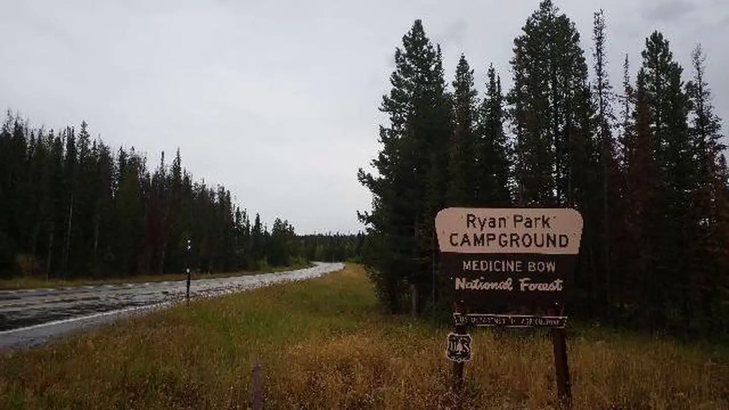
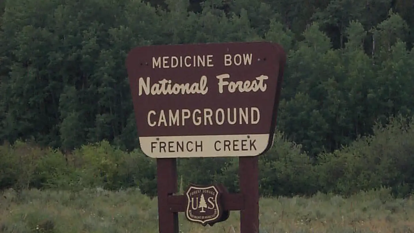
Cabin and lookout rentals nearby
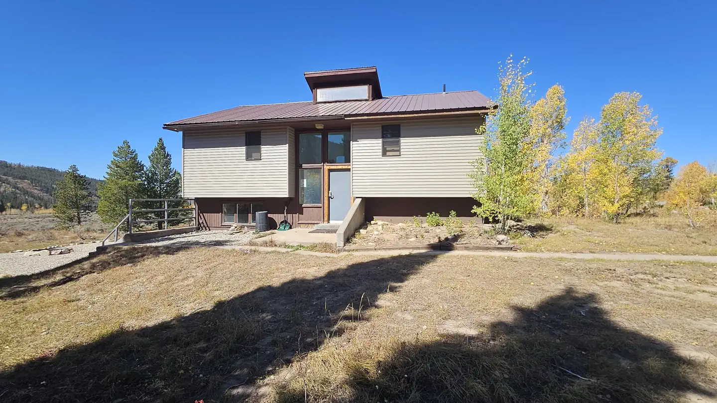
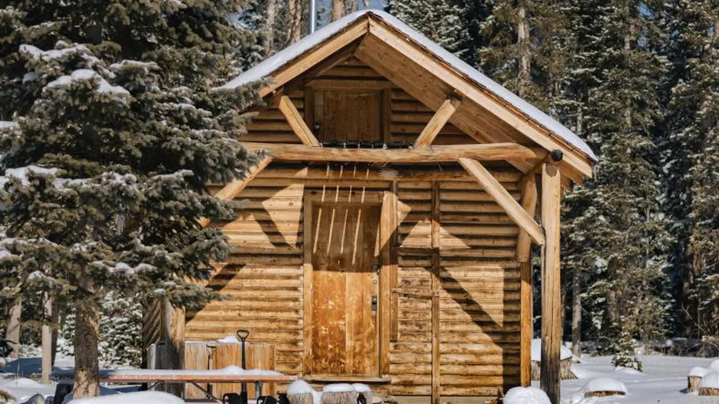
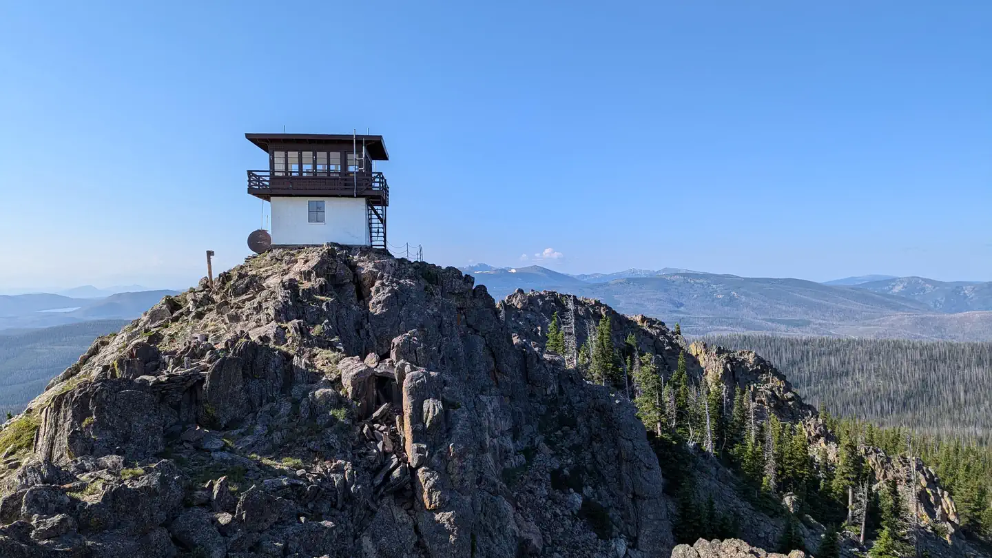
On the National Register nearby
- DML-Butler BridgeStructure · Encampment · 2.8 mi
- Grand Encampment Mining Region: Boston Wyoming Smelter SiteSite · Encampment · 10.7 mi
- Lora Webb Nichols HouseBuilding · Encampment · 11.6 mi
Guidebooks for Wyoming
We earn a small commission if you buy through these links. It does not change what we list.
Titles come from Open Library's catalog, matched by subject heading or by title.
Reference
Questions people ask
Do I need a reservation at Bennett Creek Campground?
No. Bennett Creek Campground is first-come, first-served. Sites are taken on arrival and paid at the fee station.
Source: How first-come camping works
Is there cell service at Bennett Creek Campground?
FCC coverage maps show AT&T 4G LTE at the campground point. Terrain changes that from one site to the next.
Source: FCC Broadband Map
What is the nearest town to Bennett Creek Campground?
Rawlins, Wyoming.
Source: Getting there
What if Bennett Creek Campground is full?
The nearest public campgrounds are Bennett Peak Campground (0.2 mi, first-come), Corral Creek Campground (1.1 mi, first-come), and Ryan Park (6.3 mi).
Source: Campgrounds nearby