Snow Survey Cabin
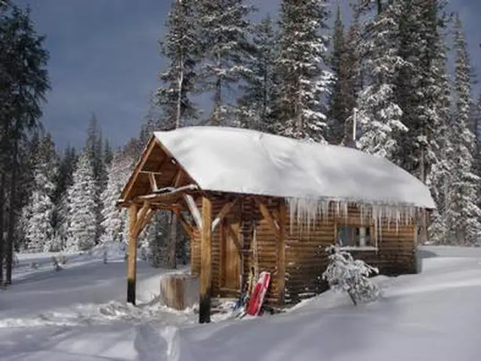
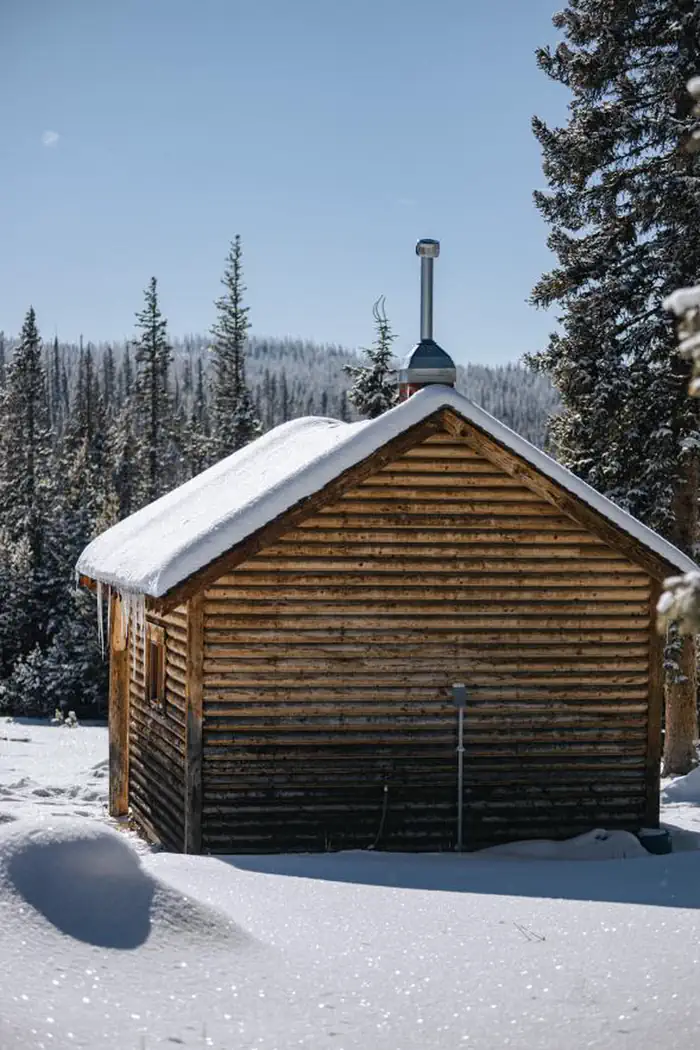
The Snow Survey Cabin provides visitors with a rustic accommodation on the Snowy Range. The cabin, located just off the Snowy Range Scenic Byway at nearly 10,000 feet elevation is available for rent year round. This is an excellent cabin to enjoy everything from warm summer evenings to winter snowmachining or cross country skiing. The one room cabin can accommodate up to four people on two sets of bunk beds. There is a propane cook stove/heater, and solar lights. West access to the cabin during the winter months is one mile from the upper "chains end" gate. A lower closure gate is six miles from the cabin. Winter renters access the cabin via snowmachine, skis, or snowshoes.
Check availability on Recreation.gov ↗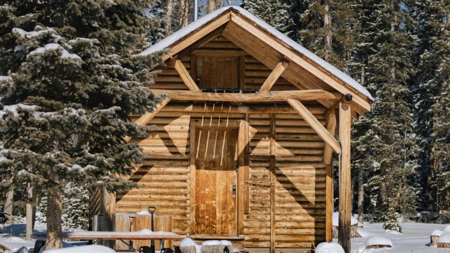

Site mix
| Cabins with electric | 1 |
Site guide
1 site. Tap a filter to narrow the list; the map follows.
| Site | Surface | Shade | People / vehicles |
|---|---|---|---|
| 001 | Gravel | Full | 4 / 2 |
Per-site records as published by the managing agency on Recreation.gov. Blank cells mean the agency listed nothing for that site. Check-in 2:00 PM, checkout 11:00 AM.
Amenities & rules
| Fees | $50/night, by reservation only. |
The one-room cabin is furnished with two sets of bunk beds and can accommodate up to four people. The cabin is equipped with a propane cook stove, heater, solar lights, table and chairs, cookware, and basic cooking and eating utensils. An outhouse with vault toilet is located nearby. No running water is available at the cabin. Guests must bring their own supply of water for drinking, cooking and cleaning. Snow for melting is usually available in winter. Guests need to provide their own food, sleeping bags, lanterns or flashlights, pillows, towels, dish soap, matches, first aid kit, toilet paper and garbage bags. All trash and food must be packed out, and guests are expected to clean the cabin before leaving. No pets are allowed within the building. Pets must be on leash or lead outside to protect wildlife. Pet must be cleaned up after by owner.
Individual sites vary. Confirm on Recreation.gov or with the managing office.
Weather by month
Getting there
From Saratoga, travel south on Highway 130 for 8 miles to the Highway130/230 junction. Turn left (east) on Highway 130 and drive 20 miles to Forest Service Road 257 (also known as Snowstorm Road). Turn onto Forest Service Road 257 and continue for approximately 100 yards to the cabin.
| Nearest town | Saratoga, Wyoming |
| Coordinates | 41.3264° N, 106.3782° W · Directions ↗ |
Supplies & services
| Outdoor gear | Koyoty Sports & Trophy Room Artistry ↗ | 24 mi |
| Dump station | Dump station ↗ | 39.9 mi |
Locations © OpenStreetMap contributors. Call ahead; hours change seasonally.
Explore
Worth a stop
The Snowy Range is transected by Wyoming Highway 130 between Laramie and Saratoga. This is the Snowy Range Scenic Byway. Many campgrounds, picnic areas and hiking trails are located along its course. The small Snowy Range Ski Resort is accessible from this scenic byway as well; however, portions of Highway 130 are not completely accessible during the winter.
- 1.4 miMeadow Falls Trailhead ↗Trailhead
- 1.7 miSilver Lake Trailhead ↗Trailhead
- 3 mi
Trails nearby
- 0.8 miQuealy Reservoir Spur ↗11.6 mi trail · hiking, horse, bike, motorcycle and 2 more
- 1.3 miRalph Hesson Interp ↗under 0.1 mi trail · hiking, horse, bike
- 1.3 miMeadow Falls Trail2.4 mi trail · hiking, horse, bike
- 1.4 miSilver Lake Trail1.4 mi trail · hiking, horse, bike
- 2.8 miMedicine Bow Peak Trail ↗5.3 mi trail · hiking, horse, bike
- 2.8 miLake Marie Trail ↗0.6 mi trail · hiking, horse, bike
Trailheads within three miles
- 1.4 miMeadow Falls Trailhead ↗Medicine Bow-Routt NFs and Thunder Basin NG · Season June
- 1.7 miSilver Lake Trailhead ↗Medicine Bow-Routt NFs and Thunder Basin NG · Season July to September
- 2.8 miTipple Trail Trailhead ↗Medicine Bow-Routt NFs and Thunder Basin NG · Season June
- 3 miLakes Trailhead ↗Medicine Bow-Routt NFs and Thunder Basin NG · Season June to October
Trail and trailhead records are the Forest Service's. Distances are straight-line to the nearer trail end. Trail conditions are not tracked here.
Public land it sits in
Savage Run Wilderness begins about 6.5 miles away, and it is the closest of these.
- 6.5 miSavage Run Wilderness ↗Wilderness · Forest Service · 15,284 acres
- 13.2 miPlatte River Wilderness ↗Wilderness · Forest Service · 24,051 acres
Each unit is published as a centre point and an acreage rather than a boundary, so this section stands it in for a circle of the same area. Whether a campground is inside, and how far it is from one it is outside, are both approximate.
Other campgrounds nearby

Cabin and lookout rentals nearby
On the National Register nearby
- Headquarters Park Historic DistrictHistoric district · Centennial · 1.3 mi
- Brooklyn LodgeBuilding · Centennial · 7.8 mi
- Libby LodgeBuilding · Centennial · 10.7 mi
Natural features
From valleys and canyons that rise steeply to jagged ridges, the Snowy Range boasts alpine lakes, wildflower meadows and a mixed forest of spruce, lodgepole pine, subalpine fir and aspen. At elevations of 9,000 to 12,000 feet, it lives up to its name, as snow can fall in the area during any month of the year. Wildlife viewing is abundant near the cabin, including elk, deer and moose. Migratory birds, squirrels and an occasional black bear find habitat in the forest as well.
Recreation
- In the summer months, a vast hiking trail system accessing the highest elevations of the Snowy Range extends from the cabin's back door. Hikers looking for a challenge can make the trek up Medicine Bow Peak at an elevation of 12,013 feet, or hike nearby Browns Peak or Sugarloaf Mountain.
- Fishing is available at many alpine lakes and streams, including the popular Mirror Lake day use site.
- Winter brings deep powder snow for the snowmobiler and cross-country skier.
- Lake and Pond Fishing
- Areas for Lake and Pond Fishing at Snowy Range Area
- Bow River Campground
- Brooklyn Lake Campground
- Deep Creek Campground
- Deep Lake Trail
- Dipper Lake Trail
- Lake Owen Boat Ramp
- Lake Owen Campground
- Lakes Trailhead
- Lewis Lake Picnic Site
- Libby Lake Picnic Site
- Little Brooklyn Guard Station
- Miller Lake Dispersed Campground
- Mirror Lake Picnic & Fishing Site
- Quealy Lake Trailhead
- Rob Roy Boat Ramp
Guidebooks for Wyoming
We earn a small commission if you buy through these links. It does not change what we list.
Titles come from Open Library's catalog, matched by subject heading or by title.
Reference
Questions people ask
Do I need a reservation at Snow Survey Cabin?
Sites at Snow Survey Cabin are reservable on Recreation.gov. Any walk-up sites are listed on the booking page.
Source: Recreation.gov
How much does it cost to camp at Snow Survey Cabin?
$50/night, by reservation only.
Source: Recreation.gov
What time is check-in at Snow Survey Cabin?
Check-in 2:00 PM, checkout 11:00 AM.
Source: Recreation.gov
How many sites does Snow Survey Cabin have?
1 site, including 1 cabin with power.
Source: Recreation.gov
What is there to do at Snow Survey Cabin?
In the summer months, a vast hiking trail system accessing the highest elevations of the Snowy Range extends from the cabin's back door. Hikers looking for a challenge can make the trek up Medicine Bow Peak at an elevation of 12,013 feet, or hike nearby Browns Peak or Sugarloaf Mountain. The Recreat
Source: Recreation
What is the nearest town to Snow Survey Cabin?
Saratoga, Wyoming. The Snowy Range is transected by Wyoming Highway 130 between Laramie and Saratoga.
Source: Getting there
What if Snow Survey Cabin is full?
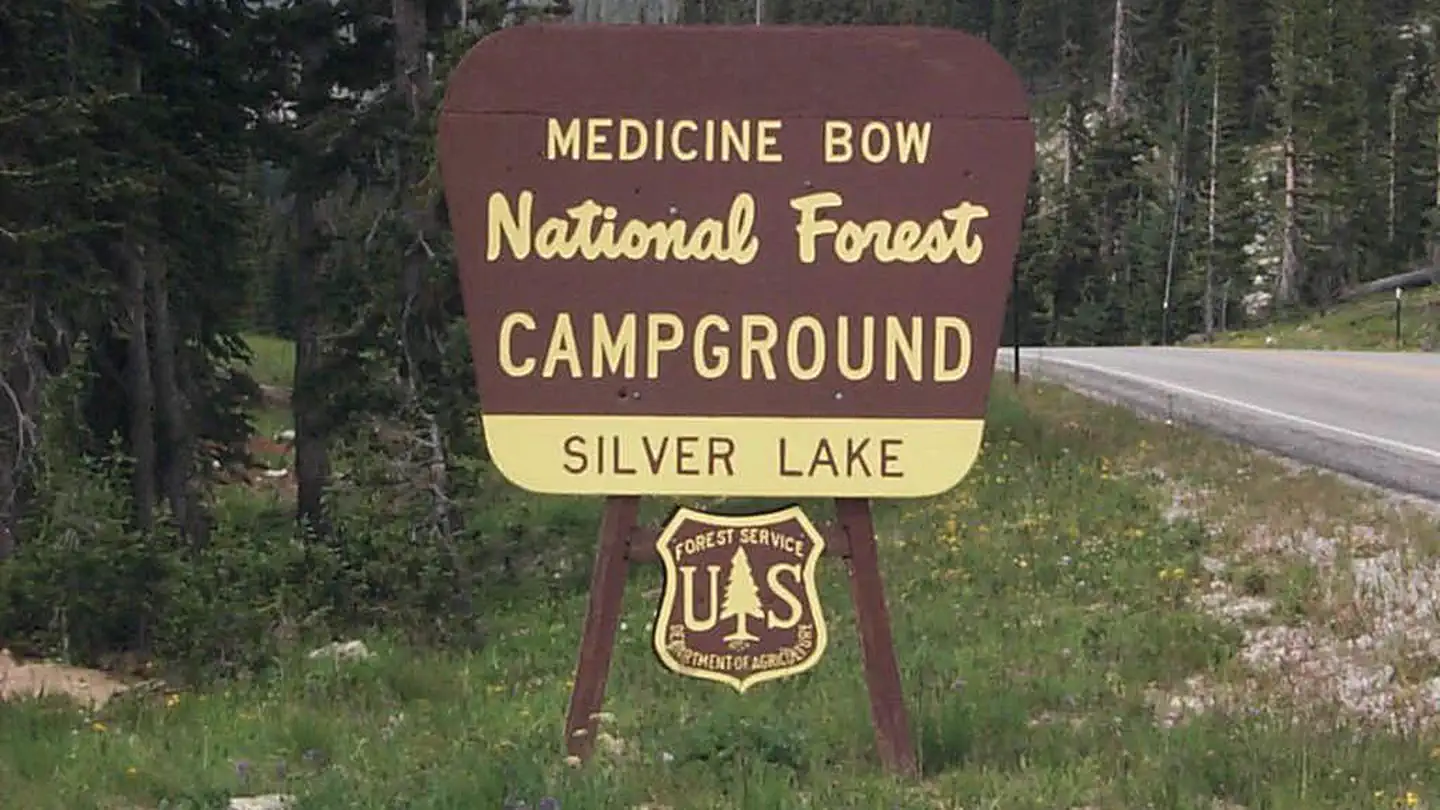
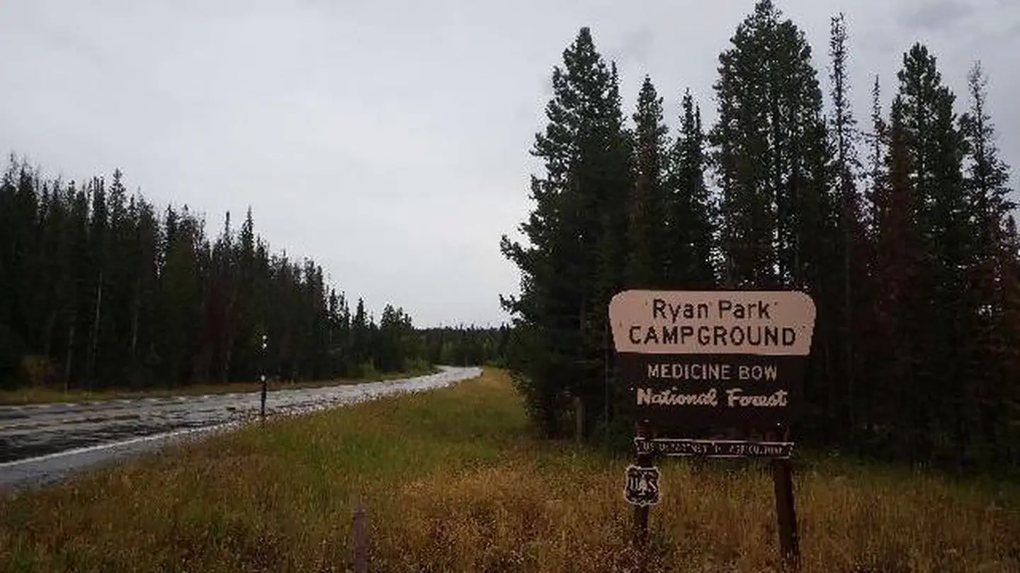
The nearest public campgrounds are Silver Lake Campground (1.4 mi, partly first-come), Sugarloaf Campground (4.8 mi, partly first-come), and Ryan Park (5.9 mi).
Source: Campgrounds nearby