Falls Campground
This is a beautiful campground located on the banks of the Emigrant Creek. Easy fishing access allows for trout fishing right next to the campground. The campground's picnic area is a great site for family-friendly getaways and rarely fills. Please pack out what you pack in- no trash service is provided.
More like this: reservable in Oregon · tent only in Oregon · pets allowed in Oregon
Check availability on Recreation.gov ↗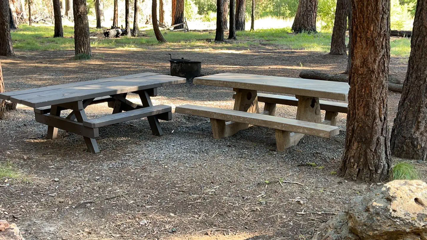
Site mix
| Standard, no hookups | 6 |
Amenities & rules
| Equipment | Tents |
| Pets | Allowed |
| Campfires | Allowed, subject to restrictions |
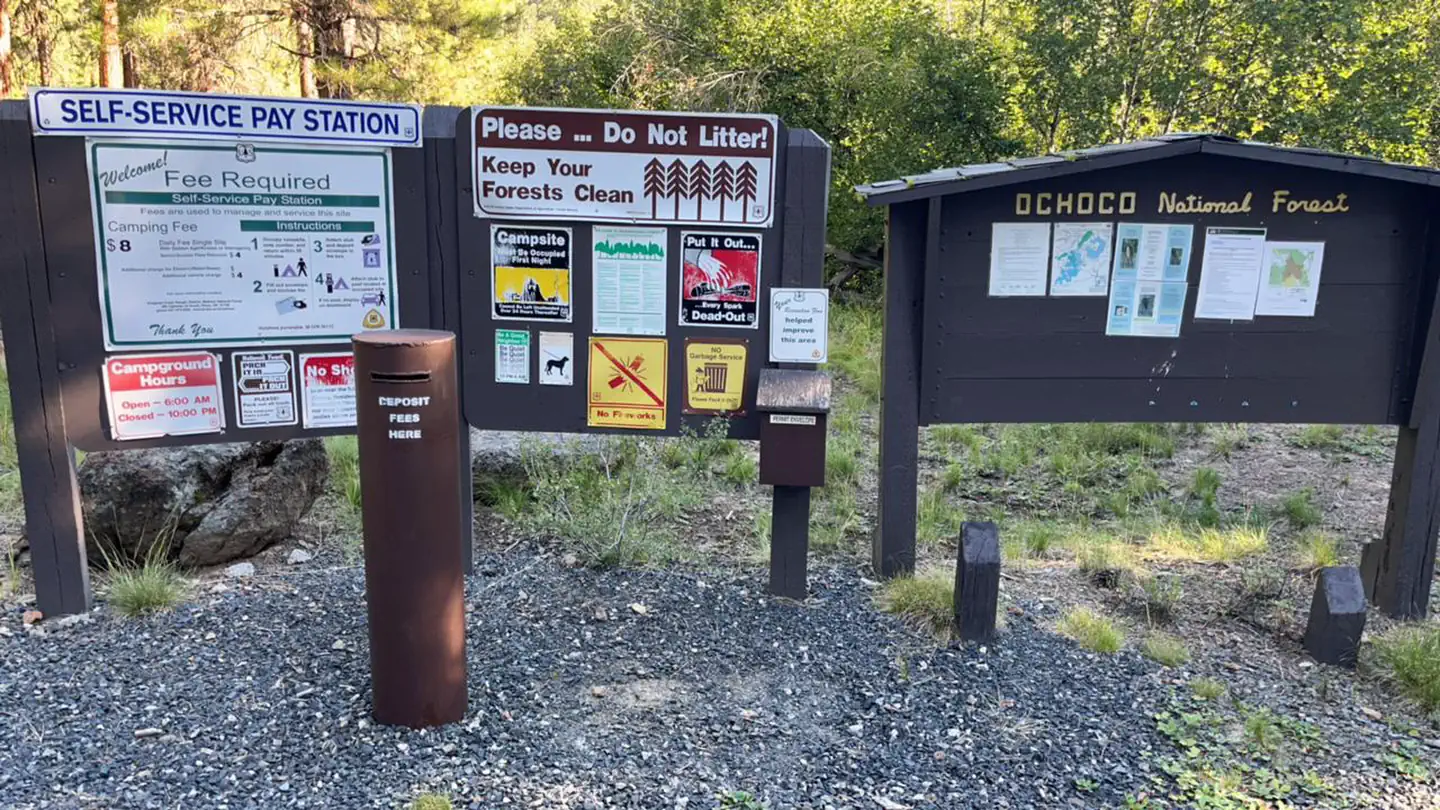
| Fees | $8/Night for single unit, $4/Night for extra vehicle |
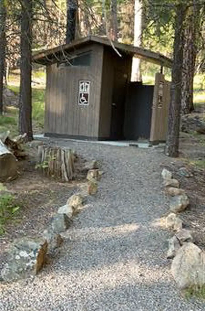
Day use picnic area Vault toilet
Individual sites vary. Confirm on Recreation.gov or with the managing office.
Season & status
| Status | Temporarily closed |
| Forest | Malheur National Forest |
| Fees | $8/Night for single unit, $4/Night for extra vehicle |
Weather by month
Getting there
From Burns, OR. travel west on US Highway 20 to the junction with County Road 127. Follow County Road 127 approximately 23 miles to the junction with Forest Road 43. Follow Forest Road 43 approximately 8.5 miles, the road leading to the campground will be on the left. The campground will be at the end of the drive.
| Nearest town | Hines, Oregon |
| Coordinates | 43.8458° N, 119.4080° W · Directions ↗ |
Fire nearby
- WildfireSecond Flat
16 mi from the campground · 105,854 acres · 99% contained
- PrescribedDamon 2A Rx
33 mi from the campground · 85 acres
- PrescribedJane 102 Rx
34 mi from the campground · 3,000 acres
Distance is to the reported incident point, not the fire edge. Call the managing office before you drive.
Explore
Trails nearby
- 1.9 miSnomo #5342 ↗5.9 mi trail
- 2.9 miSnomo #5339 ↗13.2 mi trail
- 3 miSnomo #53434.1 mi trail
- 4.9 miSnomo #5336 ↗17.2 mi trail
Trail and trailhead records are the Forest Service's. Distances are straight-line to the nearer trail end. Trail conditions are not tracked here.
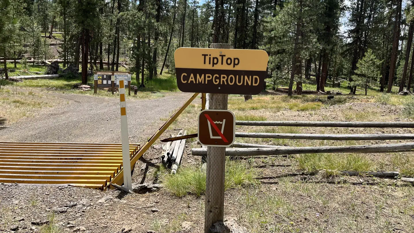
Other campgrounds nearby

Cabin and lookout rentals nearby
On the National Register nearby
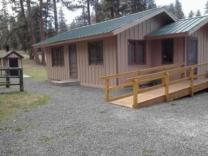
- Allison Ranger StationBuilding · Burns · 10.7 mi
Nearby
- Delintment Lake
- Yellowjacket Reservoir
- Burns BLM
- Radar Hill OHV
- Chickahominy Reservoir
Guidebooks for Oregon
We earn a small commission if you buy through these links. It does not change what we list.

Titles come from Open Library's catalog, matched by subject heading or by title.
Reference
Questions people ask
Do I need a reservation at Falls Campground?
Sites at Falls Campground are reservable on Recreation.gov. Any walk-up sites are listed on the booking page.
Source: Recreation.gov
How much does it cost to camp at Falls Campground?
$8/Night for single unit, $4/Night for extra vehicle
Source: Recreation.gov
What time is check-in at Falls Campground?
Check-in 2:00 PM, checkout 12:00 PM.
Source: Recreation.gov
Is Falls Campground open right now?
Temporarily closed as of Oct 16, 2026.
Source: Forest Service status
How many sites does Falls Campground have?
6 sites, including 6 standard sites without power.
Source: Recreation.gov
Can I bring an RV to Falls Campground?
Falls Campground is listed for tents only.
Source: Recreation.gov
Are pets allowed at Falls Campground?
Yes, pets are allowed at Falls Campground. Leash rules apply.
Source: Recreation.gov
Can I have a campfire at Falls Campground?
Fires are allowed in the provided rings under normal conditions. As of 2026-10-16, there are 3 active fires within 50 miles, so check current restrictions before you light one.
Source: Fire nearby
What is the nearest town to Falls Campground?
Hines, Oregon. Delintment Lake
Source: Getting there
What if Falls Campground is full?
The nearest public campgrounds are Emigrant Campground (1.4 mi, first-come), Yellowjacket Campground (7.1 mi, first-come), and Delintment Lake Campground (11.4 mi).
Source: Campgrounds nearby