Tamarack Campground
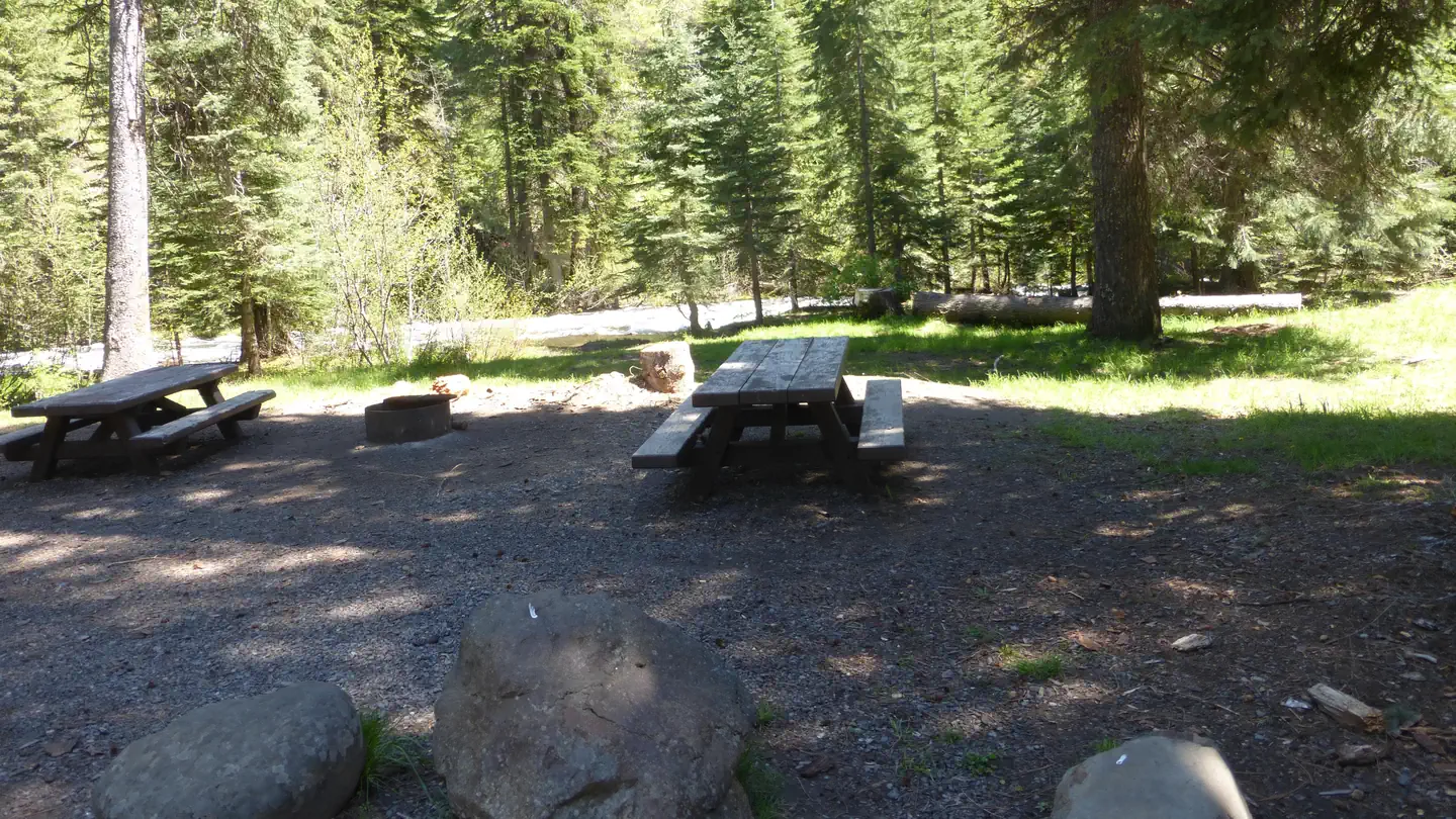
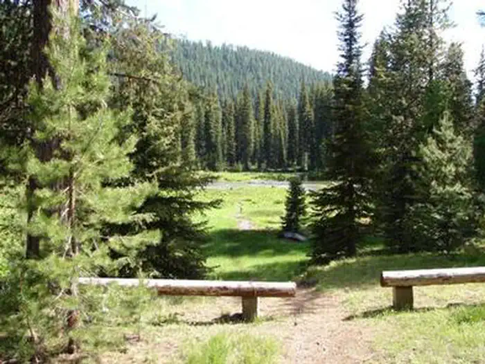
Tamarack Campground is located along the Wild and Scenic Eagle Creek in the southern Wallowa Mountains. This open and sunny site has 12 tent/trailer sites of which 3 are fully accessible. A short accessible path leads down to the creek and ends at two fishing platforms. Popular activities include fishing, hiking, and bird watching. With easy access, this campground can fill-up and particularly during holiday week-ends. Primary use season is May to September. Quiet hours are from 10pm to 6am.
Sites are first-come, first-served. Recreation.gov lists this campground for paying on site, and you may be able to pay with the Scan and Pay feature of its app.
More like this: first-come in Oregon · tent only in Oregon

Amenities & rules
| Equipment | Tents |
| Fees | Overnight Use: Single Site: $15/night. Interagency Senior/Access Recreation Passes provide a 50% discount to Single Campsites ONLY. The discount applies only to the fee for the campsite physically occupied by the pass holder, not to any additional fee or campsite(s) occupied by members of the pass… |
Tamarack Campground has 12 sites, each with picnic table, fire ring and parking spot.
Individual sites vary. Confirm on Recreation.gov or with the managing office.
Season & status
| Season | June to September |
| Forest | Wallowa Whitman National Forest |
| Booking | This site is not reservable. |
| Fees | Single unit campsites = $15.00/night. A self-service fee station is available at the campground. |
| Rules | General rules of use and restrictions apply for this developed recreation site. |
Weather by month
Getting there
From Halfway, Oregon travel north on the Cornucopia Highway for about 5 miles; Turn left off the Cornucopia Highway at Carson Grade Road (turns into Forest Road 7710) and go about 5.5 miles to Forest Road 77; Turn left on Forest Road 77 and go 19.5 miles along Paddy Creek and Eagle Creek to Campground; Campground entrance is on your left.
| Nearest town | Baker City, Oregon |
| Coordinates | 45.0202° N, 117.4536° W · Directions ↗ |
Fire nearby
- WildfireMccully
43 mi from the campground · 13,604 acres · 91% contained
- PrescribedBird Track 610/607A Rx
46 mi from the campground · 141 acres
- PrescribedBirdtrack 621 Broadcast Rx
47 mi from the campground · 377 acres
- PrescribedStarvation 11A Rx
48 mi from the campground · 719 acres
Distance is to the reported incident point, not the fire edge. Call the managing office before you drive.
Supplies & services
| Dump station | Dump station ↗ | 21.5 mi |
| Outdoor gear | Joseph Fly Shope and Lamb Trading ↗ | 25.5 mi |
Locations © OpenStreetMap contributors. Call ahead; hours change seasonally.
Explore
Video
Tamarack Flat Campground Information
Worth a stop
- 4.2 miWest Eagle Meadows Trailhead ↗Trailhead
- 5.9 miGold King Trailhead ↗Trailhead
Public land it sits in
This campground sits inside Wallowa-Whitman National Forest.
- inWallowa-Whitman National Forest ↗National Forest · Forest Service · 2,525,292 acres
- 2 miEagle Cap Wilderness ↗Wilderness · Forest Service · 355,553 acres
Each unit is published as a centre point and an acreage rather than a boundary, so this section stands it in for a circle of the same area. Whether a campground is inside, and how far it is from one it is outside, are both approximate.
Other campgrounds nearby
Cabin and lookout rentals nearby
On the National Register nearby
- Cornucopia JailhouseBuilding · Cornucopia · 12.6 mi
Guidebooks for Oregon
We earn a small commission if you buy through these links. It does not change what we list.

Titles come from Open Library's catalog, matched by subject heading or by title.
Reference
Questions people ask
Do I need a reservation at Tamarack Campground?
No. Tamarack Campground is first-come, first-served. This site is not reservable. Sites are taken on arrival and paid at the fee station.
Source: Forest Service
How much does it cost to camp at Tamarack Campground?
Overnight Use: Single Site: $15/night. Interagency Senior/Access Recreation Passes provide a 50% discount to Single Campsites ONLY. The discount applies only to the fee for the campsite physically occupied by the pass holder, not to any additional fee or campsite(s) occupied by members of the pass…
Source: Forest Service
How many sites does Tamarack Campground have?
12 sites.
Source: Forest Service
Can I bring an RV to Tamarack Campground?
Tamarack Campground is listed for tents only.
Source: Forest Service
What is the nearest town to Tamarack Campground?
Baker City, Oregon.
Source: Getting there
What if Tamarack Campground is full?
The nearest public campgrounds are Boulder Park Campground (3.8 mi), West Eagle Meadow Camping (4.1 mi), and Buck Creek Campground (10.6 mi).
Source: Campgrounds nearby