North Fork Catherine Creek Group Campground
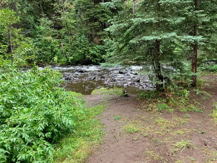
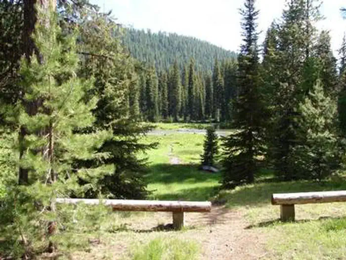
- North Fork Catherine Creek Group Campgrouind is situated along North Fork Catherine Creek in the southeast Wallowa Mountains of the Wallowa-Whitman National Forest. The area has abundant wildlife and plant species, and sits in a mixed confer forest. There are two wilderness trailheads nearby.
More like this: reservable in Oregon · pets allowed in Oregon · group sites in Oregon
Check availability on Recreation.gov ↗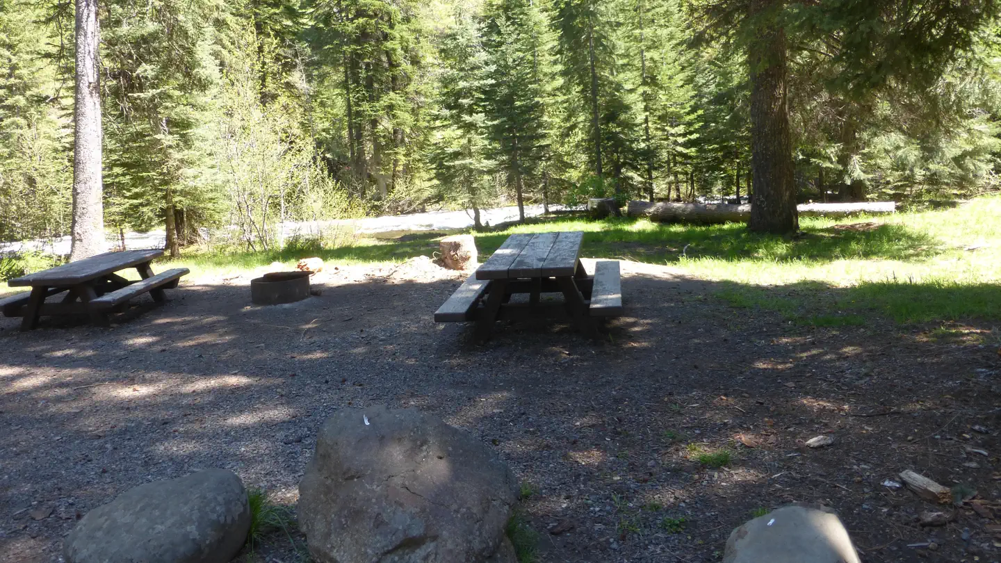
Site mix
| Group sites | 1 |
Site guide
1 site. Tap a filter to narrow the list; the map follows.
| Site | Surface | Water / sewer | Waterfront | People / vehicles | Fires | Rating |
|---|---|---|---|---|---|---|
| North Fork Catherine Creek Group Campground | Gravel | No / – | Riverfront | 30 / 15 | Yes | Standard |
Per-site records as published by the managing agency on Recreation.gov. Blank cells mean the agency listed nothing for that site. Check-in 12:00 PM, checkout 11:59 AM.
Amenities & rules
| Pets | Allowed |
| Campfires | Allowed, subject to restrictions |
| Fees | The nightly/daily fee rate is $40. There are no walk up reservations/payments available on site, and no cellular service to make a payment online. |
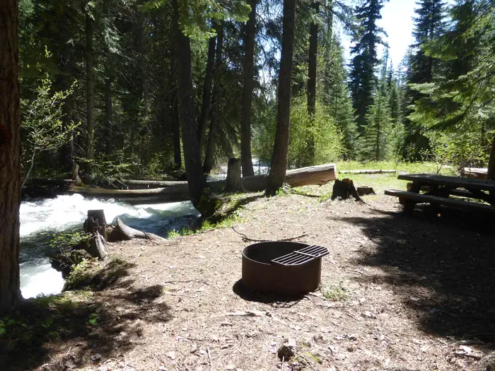
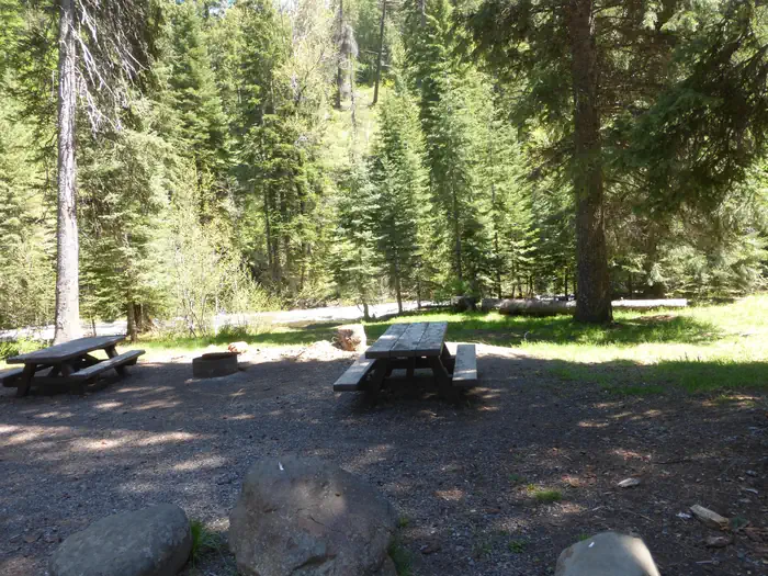
Several picnic tables and fire rings are located at this site. There is one vault toilet in the campground.
Individual sites vary. Confirm on Recreation.gov or with the managing office.
Season & status
| Season | June |
| Forest | Wallowa Whitman National Forest |
| Booking | This site is reservable. |
| Fees | Fees for this group facility are $40/night with maximum occupancy of 30 people night |
| Rules | General rules of use and restrictions apply for this developed recreation site. Motorized vehicles, bicycles, carts, hang gliders and other mechanical equipment is prohibited in the Wilderness area. |
Weather by month
Getting there
North Fork Catherine Creek Group Site is located approximately 17 miles southeast of Union, Oregon. Union is about 14 miles southeast of La Grande. From Union, take Hwy 203 east. The road turns southeast up Catherine Creek. Follow the road for 11 miles and turn east onto FS Rd. 7785.
| Nearest town | La Grande, Oregon |
| Coordinates | 45.1485° N, 117.6193° W · Directions ↗ |
Fire nearby
- PrescribedBird Track 610/607A Rx
35 mi from the campground · 141 acres
- PrescribedBirdtrack 621 Broadcast Rx
36 mi from the campground · 377 acres
- WildfireMccully
39 mi from the campground · 13,604 acres · 91% contained
- PrescribedStarvation 11A Rx
42 mi from the campground · 719 acres
Distance is to the reported incident point, not the fire edge. Call the managing office before you drive.
Supplies & services
| Dump station | Dump station ↗ | 21.8 mi |
| Outdoor gear | Joseph Fly Shope and Lamb Trading ↗ | 23.6 mi |
Locations © OpenStreetMap contributors. Call ahead; hours change seasonally.
Explore
Worth a stop
- 2.3 mi
- 8.5 miWest Eagle Meadows Trailhead ↗Trailhead
Trails nearby
Trailheads within three miles
- 0.3 miNorth Fork Catherine Creek Trailhead ↗Wallowa Whitman National Forest · Season June
- 2.3 miBuck Creek Forest Camp and Trailhead ↗Wallowa Whitman National Forest · Season May
Trail and trailhead records are the Forest Service's. Distances are straight-line to the nearer trail end. Trail conditions are not tracked here.
Public land it sits in
This campground sits inside Eagle Cap Wilderness, which overlaps Wallowa-Whitman National Forest.
- inEagle Cap Wilderness ↗Wilderness · Forest Service · 355,553 acres
- inWallowa-Whitman National Forest ↗National Forest · Forest Service · 2,525,292 acres
Each unit is published as a centre point and an acreage rather than a boundary, so this section stands it in for a circle of the same area. Whether a campground is inside, and how far it is from one it is outside, are both approximate.
Other campgrounds nearby

Cabin and lookout rentals nearby
On the National Register nearby
- Abel E. Eaton HouseBuilding · Union · 12.8 mi
- Methodist Episcopal Church of UnionBuilding · Union · 12.8 mi
- W. J. Townley HouseBuilding · Union · 13.1 mi
Natural features
North Fork Catherine Creek flows strong year-round.
Recreation
The campground is a mile downstream from North Fork Catherine Creek Trailhead, a main portal to the Eagle Cap Wilderness. This trail is open to horses and hikers, and is closed to motorized vehicles and bicycles.
Guidebooks for Oregon
We earn a small commission if you buy through these links. It does not change what we list.

Titles come from Open Library's catalog, matched by subject heading or by title.
Reference
Questions people ask
Do I need a reservation at North Fork Catherine Creek Group Campground?
Sites at North Fork Catherine Creek Group Campground are reservable on Recreation.gov. This site is reservable. Any walk-up sites are listed on the booking page.
Source: Recreation.gov
How much does it cost to camp at North Fork Catherine Creek Group Campground?
The nightly/daily fee rate is $40. There are no walk up reservations/payments available on site, and no cellular service to make a payment online.
Source: Recreation.gov
What time is check-in at North Fork Catherine Creek Group Campground?
Check-in 12:00 PM, checkout 11:59 AM.
Source: Recreation.gov
How many sites does North Fork Catherine Creek Group Campground have?
1 site, including 1 group site.
Source: Recreation.gov
Are pets allowed at North Fork Catherine Creek Group Campground?
Yes, pets are allowed at North Fork Catherine Creek Group Campground. Leash rules apply.
Source: Recreation.gov
Can I have a campfire at North Fork Catherine Creek Group Campground?
Fires are allowed in the provided rings under normal conditions. As of 2026-10-16, there are 4 active fires within 50 miles, so check current restrictions before you light one. General rules of use and restrictions apply for this developed recreation site.
Source: Fire nearby
What is there to do at North Fork Catherine Creek Group Campground?
The campground is a mile downstream from North Fork Catherine Creek Trailhead, a main portal to the Eagle Cap Wilderness. The Recreation section on this page has the rest.
Source: Recreation
What is the nearest town to North Fork Catherine Creek Group Campground?
La Grande, Oregon.
Source: Getting there
What if North Fork Catherine Creek Group Campground is full?
The nearest public campgrounds are Buck Creek Campground (2.3 mi), West Eagle Meadow Camping (8.5 mi), and Moss Springs Campground (9.2 mi).
Source: Campgrounds nearby