Sandy Bottoms Recreation Area Campground
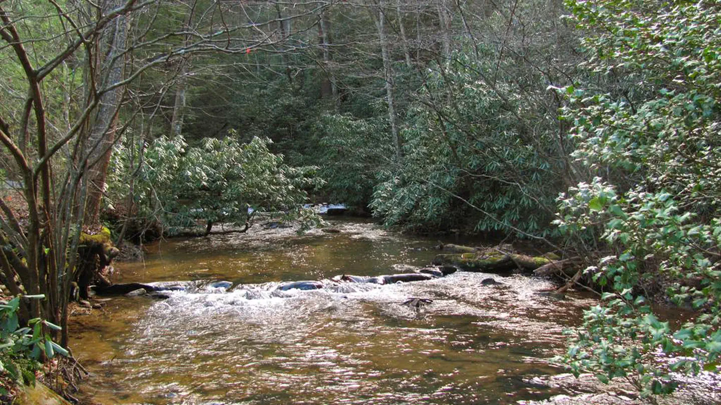
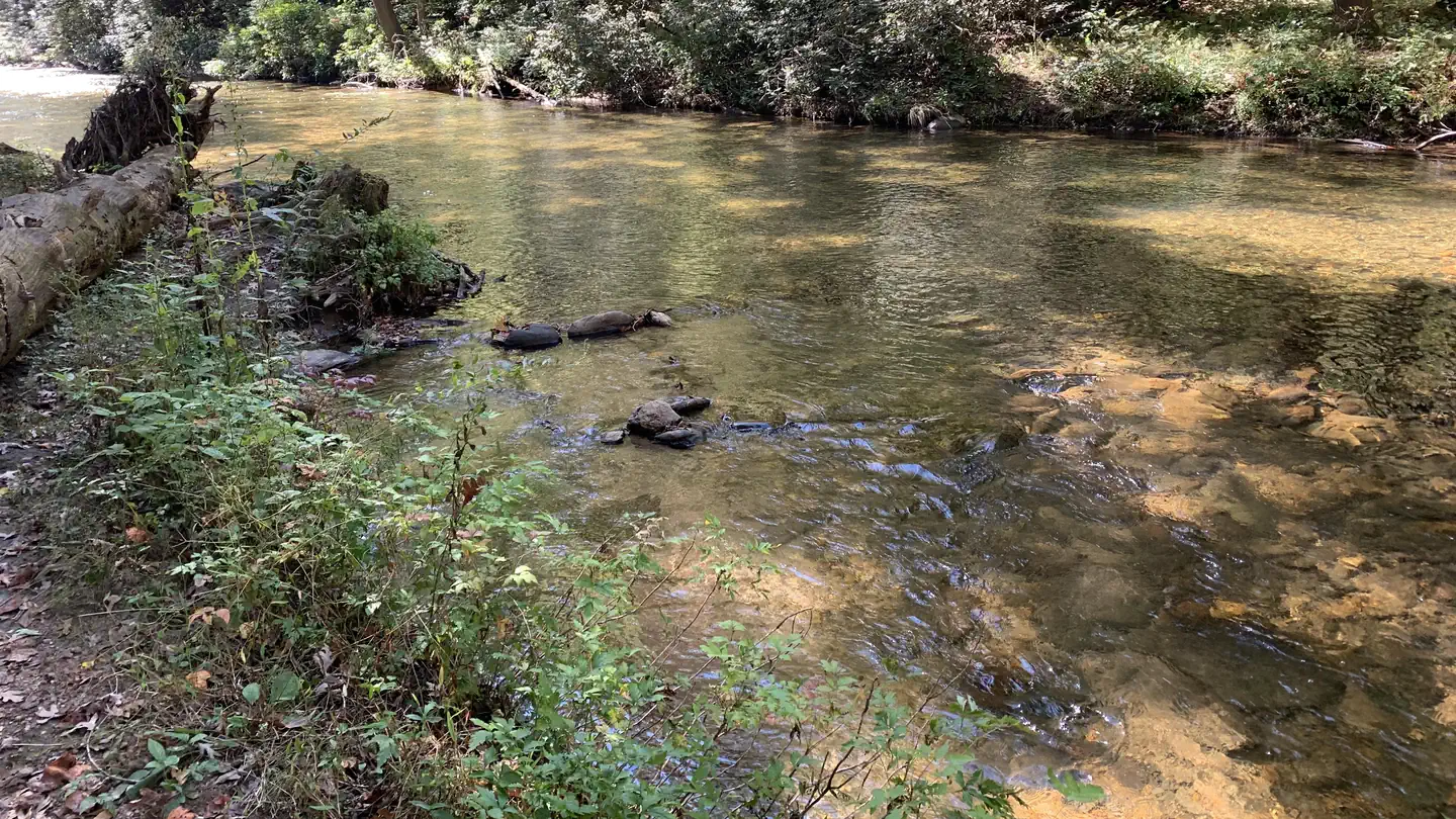
Graced with various species of hardwoods and resting on the shore of Tallulah River, Sandy Bottoms provides a rustic experience for the outdoor enthusiast to camp, swim, fish, or just enjoy the scenery.
More like this: reservable in Georgia · big rigs in Georgia · pets allowed in Georgia
Check availability on Recreation.gov ↗
Site mix
| Standard, no hookups | 12 |
| Host/management | 1 |
Site guide
Will my RV fit
The longest site here provides 28 feet of vehicle capacity. Most sites are shorter.
12 sites. Tap a filter to narrow the list; the map follows.
| Site | Entry | Fits, ft | Surface | Shade | Water / sewer | Waterfront | People / vehicles | Fires | Rating |
|---|---|---|---|---|---|---|---|---|---|
| 1 | Back-in | 25 | Gravel | Partial | No / No | Riverfront | 5 / 2 | Yes | Standard |
| 2 | Back-in | 25 | Gravel | Partial | No / No | Riverfront | 8 / 2 | Yes | Standard |
| 3 | Back-in | 28 | Gravel | Partial | No / No | 8 / 2 | Yes | Standard | |
| 4 | Back-in | 28 | Gravel | Partial | No / No | 8 / 2 | Yes | Standard | |
| 5 | Back-in | 28 | Gravel | Partial | No / No | 8 / 2 | Yes | Standard | |
| 6 | Back-in | 28 | Gravel | Partial | No / No | 8 / 2 | Yes | Standard | |
| 7 | 28 | Gravel | Partial | No / No | 8 / 2 | Yes | Standard | ||
| 8 | Back-in | 28 | Gravel | Partial | No / No | 8 / – | Yes | Standard | |
| 9 | Back-in | 28 | Gravel | Partial | No / No | 8 / 2 | Yes | Standard | |
| 10 | Back-in | 28 | Gravel | Partial | No / No | 8 / 2 | Yes | Standard |
Per-site records as published by the managing agency on Recreation.gov. Blank cells mean the agency listed nothing for that site. Check-in 02:00 PM, checkout 12:01 PM.
Amenities & rules
| Hookups | None |
| Max vehicle length | 50 ft |
| Equipment | RVs & trailers, Tents |
| Pets | Allowed |
| Campfires | Allowed, subject to restrictions |
| Fees | Beginning May 1st, 2025 all sites will require reservations via recreation.gov for camping at the Sandy Bottoms campground |
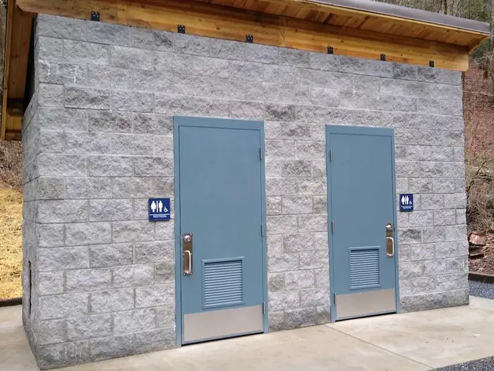
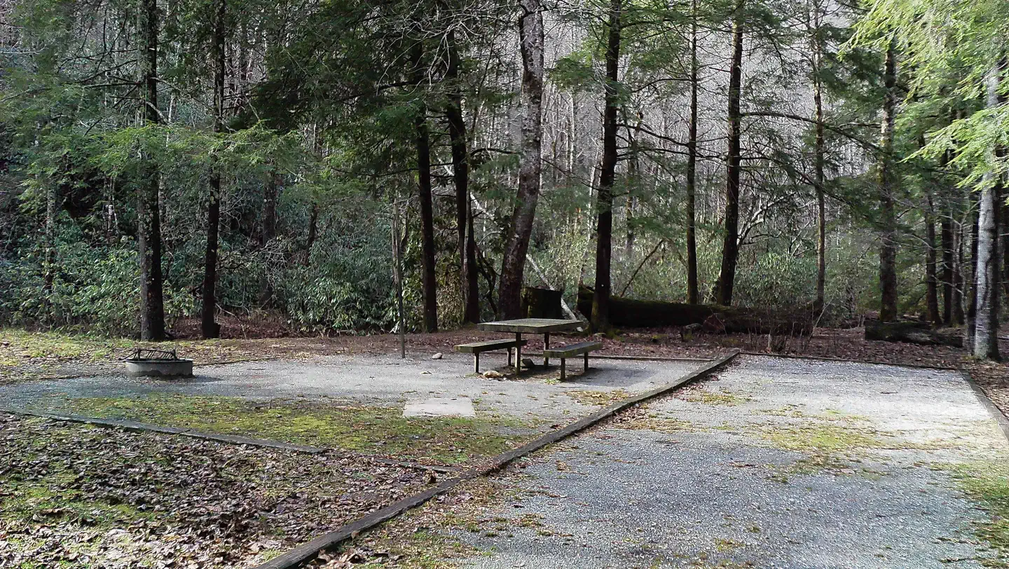
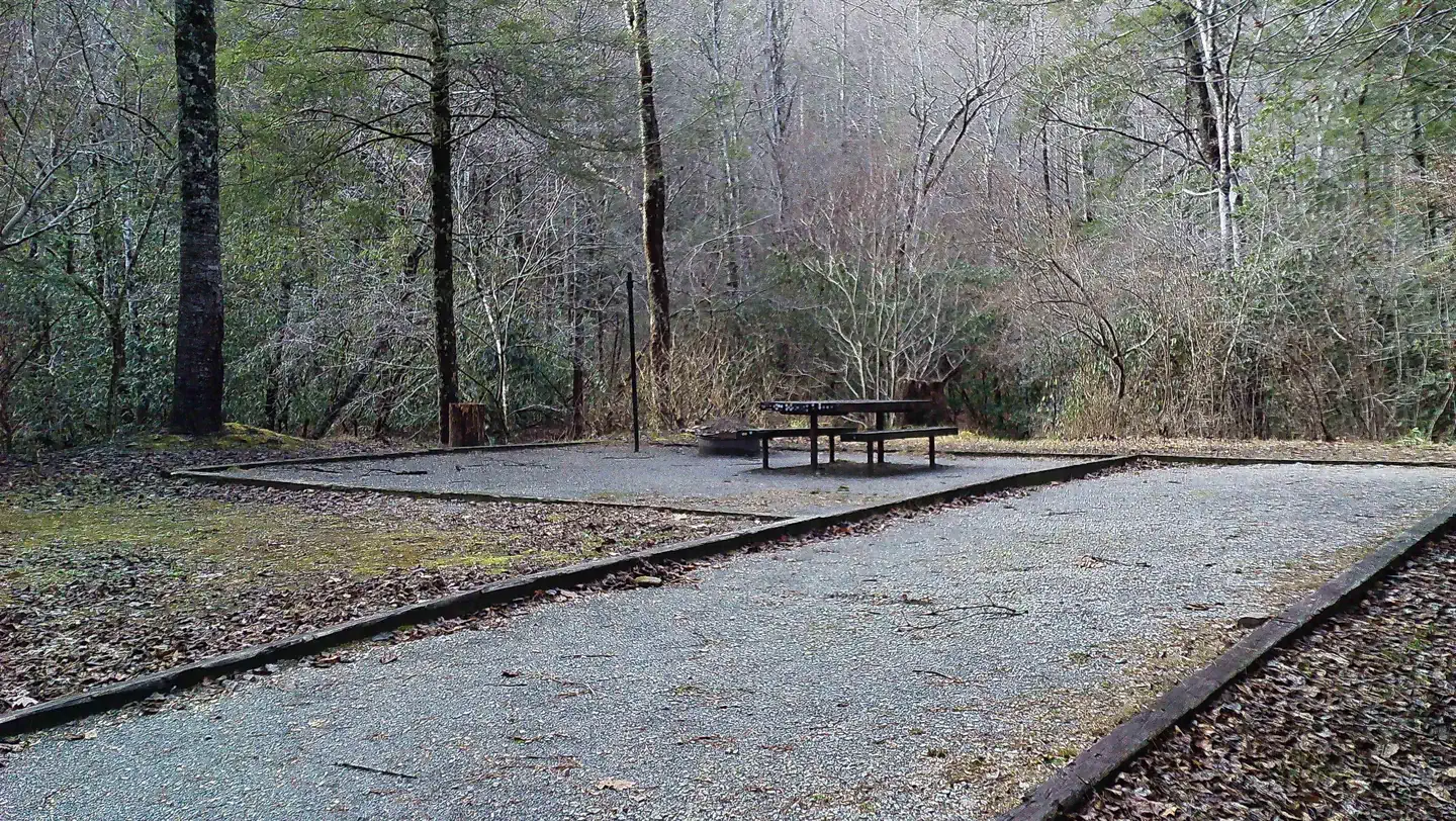
The campground offers 13 campsites with picnic tables, fire rings, and a lantern post at each site. There is a new vault toilet and trash bins located at the center of the campground. Drinking water is available by hand pump during the entire season the campground is open.
Individual sites vary. Confirm on Recreation.gov or with the managing office.
Season & status
| Status | Open |
| Season | Yearlong |
| Forest | Chattahoochee-Oconee National Forest |
| Booking | Reservations are required to camp in this campground. Reservations can be made through the National Recreation Reservation Service (NRRS). |
| Fees | Camping $20/site/night Day Use $5/vehicle/day Beginning October 2, 2024 - Toccoa River - Sandy Bottoms Day Use Area will no longer accept cash or check payments on site. |
| Rules | 14 day stay limit. Maximum 2 vehicles per campsite. Dogs must be leashed at all times |
Weather by month
Getting there
Take U.S. 76 west from Clayton, Georgia for 8 miles; turn right (north) on Persimmon Road for 4.2 miles; turn left (northwest) on Tallulah River Road (Forest Service Road 70) for 4.6 miles to arrive at Sandy Bottoms Campground.
| Nearest town | Clayton, Georgia |
| Coordinates | 34.7867° N, 84.2389° W · Directions ↗ |
Good to know
- All campsites are available by reservation only, reservations may be made at recreation.gov Whether you plan your trip during the rebirth of Spring or later in the year during the display of the promi
Supplies & services
| Dump station | Dump station ↗ | 14.9 mi |
| Outdoor gear | Mountain Crossings ↗ | 18.6 mi |
| RV sales & service | Rick's RV Center ↗ | 21.7 mi |
Locations © OpenStreetMap contributors. Call ahead; hours change seasonally.
Explore
Video
Sandy Bottoms Campground Blue Ridge Mountains.
Worth a stop
Visitors to the campground can enjoy scenic drives when going to visit nearby Rabun Bald the second-highest peak in Georgia at 4696 ft above sea level. Continue your exploring and you can find many waterfalls to see and trails to hike. One of the longest trails in the area is the National Recreational Bartram Trail. If some water activities are on your mind the Chattooga Wild and Scenic River has fishing, whitewater rafting, canoe, and kayak possibilities with outfitter and guide services available if you enjoy your time on the river. Tallulah Gorge State Park and historic Lakemont are also a close drive. Lake Rabun and Lake Burton are great places to put a boat in the water and enjoy those memories you are ready to make. Within an hour's drive, you can spend some time visiting the city of Helen a beautiful alpine village in White County if you find yourself there be sure and stop by Anna Ruby Falls, Dukes Creek Falls, or Ravens Cliff Wilderness for more hiking fun. While in the neighborhood a short drive around will find you at Brasstown Bald the highest peak in Georgia rising to 4784 ft above sea level.
- 0.9 mi
- 6.5 miDeep Hole Day Use Pass ↗Day use
- 6.7 miLakewood Landing Boat Launch ↗Boat launch
- 6.8 miLakewood Landing Boat Launch ↗Boat launch
- 12.5 miDavenport Ohv ↗OHV / range
Trails nearby
- 0.1 miToccoa Canoe Trail ↗13.4 mi trail
- 2.5 miLong Branch Loop2.1 mi trail · hiking, bike
- 3.2 miLong Branch Connector0.5 mi trail · hiking, bike
- 3.8 miBenton Mackaye ↗57.9 mi trail · hiking, horse, bike
- 3.8 miBenton Mackaye ↗22.3 mi trail · hiking, horse, bike
- 3.8 miFlat Ck Connector0.2 mi trail · hiking, bike
Trail and trailhead records are the Forest Service's. Distances are straight-line to the nearer trail end. Trail conditions are not tracked here.
Public land it sits in
This campground sits inside Chattahoochee-Oconee National Forests.
- inChattahoochee-Oconee National Forests ↗National Forest · Forest Service · 1,796,317 acres
- 4.8 miRich Mountain Wilderness ↗Wilderness · Forest Service · 10,791 acres
- 14.8 miBlood Mountain Wilderness ↗Wilderness · Forest Service · 7,742 acres
Each unit is published as a centre point and an acreage rather than a boundary, so this section stands it in for a circle of the same area. Whether a campground is inside, and how far it is from one it is outside, are both approximate.
Other campgrounds nearby

On the National Register nearby
- Blue Ridge DepotBuilding · Blue Ridge · 7.3 mi
- Fannin County CourthouseBuilding · Blue Ridge · 7.3 mi
- James W. Baugh HomeplaceBuilding · Blue Ridge · 7.4 mi
Natural features
Natural Features: Sandy Bottoms Recreation Area Campground is located in the Chattahoochee National Forest, a place of exploration and wonder. This National Forest is rich in history and is said to be a hiker's paradise with its winding trails, scenic mountains, and rolling hills.
Recreation
Sandy Bottoms Recreation Area Campground is in a unique area. You can enjoy walking along the Tallulah River. Fishing is a popular sport in the Tallulah River. If a hike is what you desire, take a short drive along the Tallulah River Road through Tate City to the end of the road, which not only has some great views but at the end of the road is Beech Creek Trail and Buck Creek Trail both are found in the Southern Nantahala Wilderness Area. Looking for an easier hike, you can go the other direction on Tallulah River Road for approximately 5 miles to bridge #1 where you will find a small parking area for the Coleman River Trail a 1.1 in and out trail that runs along a portion of the Coleman River that flows with the Tallulah River.
Guidebooks for Georgia
We earn a small commission if you buy through these links. It does not change what we list.
Titles come from Open Library's catalog, matched by subject heading or by title.
Reference
Questions people ask
Do I need a reservation at Sandy Bottoms Recreation Area Campground?
Sites at Sandy Bottoms Recreation Area Campground are reservable on Recreation.gov. Reservations are required to camp in this campground. Any walk-up sites are listed on the booking page.
Source: Recreation.gov
How much does it cost to camp at Sandy Bottoms Recreation Area Campground?
Beginning May 1st, 2025 all sites will require reservations via recreation.gov for camping at the Sandy Bottoms campground
Source: Recreation.gov
What time is check-in at Sandy Bottoms Recreation Area Campground?
Check-in 02:00 PM, checkout 12:01 PM.
Source: Recreation.gov
Is Sandy Bottoms Recreation Area Campground open right now?
Open as of Oct 16, 2026. Season Yearlong.
Source: Forest Service status
How many sites does Sandy Bottoms Recreation Area Campground have?
13 sites, including 12 standard sites without power.
Source: Recreation.gov
Will my RV fit at Sandy Bottoms Recreation Area Campground?
The longest site here provides 50 feet of vehicle capacity. Most sites are shorter. The sidebar tool checks a trailer or motorhome length against every site.
Source: Will my RV fit
Are pets allowed at Sandy Bottoms Recreation Area Campground?
Yes, pets are allowed at Sandy Bottoms Recreation Area Campground. Leash rules apply.
Source: Recreation.gov
Can I have a campfire at Sandy Bottoms Recreation Area Campground?
Fires are allowed in the provided rings under normal conditions. 14 day stay limit.
Source: Recreation.gov
Is there cell service at Sandy Bottoms Recreation Area Campground?
FCC coverage maps show Verizon 4G LTE at the campground point. Terrain changes that from one site to the next.
Source: FCC Broadband Map
What is there to do at Sandy Bottoms Recreation Area Campground?
Sandy Bottoms Recreation Area Campground is in a unique area. The Recreation section on this page has the rest.
Source: Recreation
What is the nearest town to Sandy Bottoms Recreation Area Campground?
Clayton, Georgia. Visitors to the campground can enjoy scenic drives when going to visit nearby Rabun Bald the second-highest peak in Georgia at 4696 ft above sea level.
Source: Getting there
What if Sandy Bottoms Recreation Area Campground is full?
The nearest public campgrounds are Morganton Point (6.1 mi, partly first-come), Deep Hole Recreation Area (6.5 mi), and Frank Gross Campground (7.8 mi).
Source: Campgrounds nearby