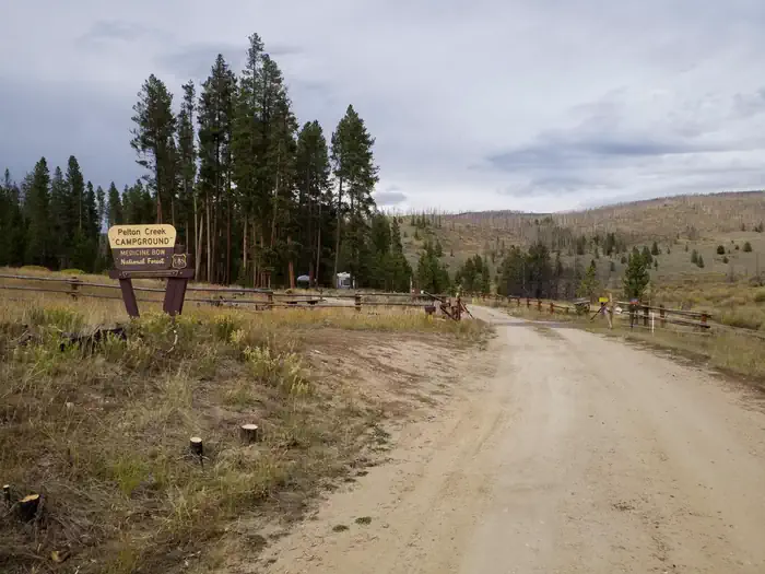
Pelton Creek
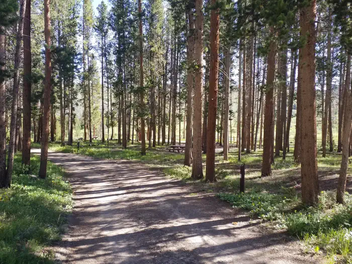
The campground is at the eastern edge of the Platte River Wilderness, and has 14 sites. It is a single loop with one side running parallel to Pelton Creek among Lodgepole pines. Some sites overlook the creek and a meadow. The understory is grass and the sites are fairly close together providing minimal privacy. A trailhead provides wilderness access via the Douglas Creek Trail or the Platte Ridge Trail. 14 day stay limit. Stock unloading facility near campground, however no stock are allowed in the campground. Picnic tables, toilets, drinking water, and campfire rings. Fishing is available in Douglas Creek. This campground will be first-come, first-served for the 2026 season.
More like this: reservable in Wyoming · pets allowed in Wyoming · group sites in Wyoming
Check availability on Recreation.gov ↗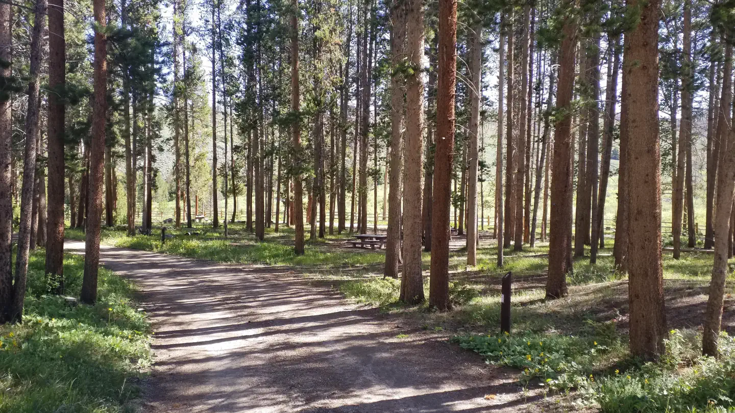
Site mix
| Standard, no hookups | 13 |
| Group sites | 1 |
| Host/management | 4 |
Site guide
13 sites. Tap a filter to narrow the list; the map follows.
| Site | Type | Entry | Fits, ft | Surface | Shade | Water / sewer | People / vehicles | Fires |
|---|---|---|---|---|---|---|---|---|
| 02 | Standard | Back-in | 42 | Gravel | Partial | No / – | 8 / 2 | Yes |
| 03 | Standard | Back-in | 37 | Gravel | Partial | No / – | 8 / 2 | Yes |
| 04 | Standard | Back-in | 52 | Gravel | Partial | No / – | 8 / 2 | Yes |
| 05 | Standard | Back-in | 44 | Gravel | Partial | No / – | 8 / 2 | Yes |
| 06 | Standard | Pull-through | 99 | Gravel | Partial | No / – | 8 / 2 | Yes |
| 07 | Standard | Pull-through | 70 | Gravel | Partial | No / – | 8 / 2 | Yes |
| 08 | Standard | Back-in | 33 | Gravel | Partial | No / – | 8 / 2 | Yes |
| 09 | Standard | Back-in | 32 | Gravel | Partial | No / – | 8 / 2 | Yes |
| 10 | Group | Pull-through | 81 | Gravel | Partial | No / – | 12 / 3 | Yes |
| 11 | Standard | Back-in | 40 | Gravel | Partial | No / – | 8 / 2 | Yes |
Per-site records as published by the managing agency on Recreation.gov. Blank cells mean the agency listed nothing for that site. Check-in 02:00 PM, checkout 01:00 PM.
Amenities & rules
| Hookups | None |
| Equipment | RVs & trailers, Tents |
| Pets | Allowed |
| Fees | $14 per site |
Pelton Creek Campground has 14 campsites, 4 of which can accomadate longer or trailered setups in a pull-through site. Sites are equiped with campfire rings and picnic tables. All sites have access to a water hand pump near site 1, two vault toilets, and trash collection. No electrical hook-ups, water hook-ups, or black water hook-ups are available. Handpump water is typically available in this campground from July to September.
Individual sites vary. Confirm on Recreation.gov or with the managing office.
Season & status
| Status | Closed for the season. Forest Service sites close for the season; check the official page for the reopening date. |
| Forest | Medicine Bow-Routt NFs and Thunder Basin NG |
| Booking | Please see Recreation.gov for reservation information. |
| Fees | $14 per site |
Medicine Bow-Routt NFs and Thunder Basin NG recreation page ↗
Weather by month
Getting there
From Laramie, take WY 230 west for 40.6 miles to National Forest Recreation Area sign on Forest Route 898. Turn right onto FR 898 and go 8.7 miles to campground.
| Nearest town | Laramie, Wyoming |
| Coordinates | 41.0736° N, 106.3035° W · Directions ↗ |
Good to know
- As such, we encourage you to bring your own water or call ahead.
Charges and cancellations
Modifications on reservations are not allowed for this site.
Fire nearby
- PrescribedMagic Feather Broadcast Rx
46 mi from the campground
Distance is to the reported incident point, not the fire edge. Call the managing office before you drive.
Supplies & services
| Dump station | Dump station ↗ | 23.6 mi |
| Outdoor gear | Koyoty Sports & Trophy Room Artistry ↗ | 37.1 mi |
Locations © OpenStreetMap contributors. Call ahead; hours change seasonally.
Explore
Video
Video Tour of Pelton PGE Campgrounds, Oregon (PNCVT)
Trails nearby
- 0.1 miPlatte Ridge ↗7.5 mi trail · hiking, horse, bike
- 0.1 miDouglas Creek ↗9.6 mi trail · hiking, horse, bike
- 0.4 miDansel1.2 mi trail · hiking, horse, bike
- 3.8 miDevils Gate2.5 mi trail · hiking, horse, bike
- 4.5 miPlatte East2.5 mi trail · hiking, horse
Trail and trailhead records are the Forest Service's. Distances are straight-line to the nearer trail end. Trail conditions are not tracked here.
Public land it sits in
Platte River Wilderness begins about 0.4 miles away, and it is the closest of these.
- 0.4 miPlatte River Wilderness ↗Wilderness · Forest Service · 24,051 acres
- 6.7 miSavage Run Wilderness ↗Wilderness · Forest Service · 15,284 acres
Each unit is published as a centre point and an acreage rather than a boundary, so this section stands it in for a circle of the same area. Whether a campground is inside, and how far it is from one it is outside, are both approximate.
Other campgrounds nearby

Cabin and lookout rentals nearby
Natural features
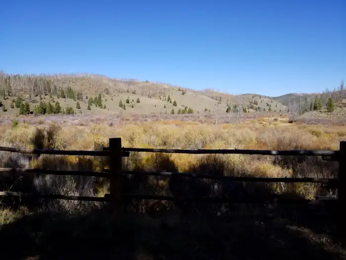
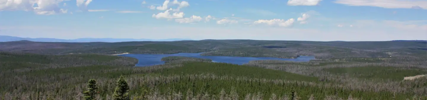
Pelton Creek Campground lies at the convergence of Douglas Creek and Pelton Creek, just outside of the Platte River Wilderness. Although the Mullen Fire went through this area in 2020, the campground was spared and it remains as a remote oasis for developed recreation. The campground itself still retains tall pine trees that provide excellent shade and ambiance for a summer camping destination. The meandering creeks and tall brush can attract moose so be sure to know what's around you if you venture down to the water's edge.
Recreation
In addition to the camping and fishing provided by this campground, the Platte Ridge and Douglas Creek Trails take off from the north end of the campground and go deep into the heart of the Platte River Wilderness
Nearby
Platte River Wilderness mainly lies within the Medicine Bow National Forest in Wyoming, but also includes a small portion within the Routt National Forest in Colorado. It is managed by the U.S. Forest Service and is located on the Brush Creek/Hayden, Laramie and Parks Ranger Districts. Average elevation is 7,700 feet. The United States Congress designated the Platte River Wilderness in 1984 and it has a total of 23,492 acres. Colorado contains approximately 743 acres. Wyoming contains approximately 22,749 acres. The North Platte River features blue-ribbon trout fishing, as well as rafting and kayaking. North Gate Canyon is a popular white-water rafting section of water. Douglas Creek is also noted for its' excellent trout fishing opportunities. Hiking, backpacking and hunting are other popular activities. The Douglas Creek Trail follows the creek for 9.5 miles through an open canyon with trailheads at both ends. You can hike a loop from the Pelton Creek Trailhead by exiting the Douglas Creek Trail to return via the Platte River Trail.
Guidebooks for Wyoming
We earn a small commission if you buy through these links. It does not change what we list.
Titles come from Open Library's catalog, matched by subject heading or by title.
Reference
Questions people ask
Do I need a reservation at Pelton Creek?
Sites at Pelton Creek are reservable on Recreation.gov. Please see Recreation.gov for reservation information. Any walk-up sites are listed on the booking page.
Source: Recreation.gov
How much does it cost to camp at Pelton Creek?
$14 per site
Source: Recreation.gov
What time is check-in at Pelton Creek?
Check-in 02:00 PM, checkout 01:00 PM.
Source: Recreation.gov
Is Pelton Creek open right now?
Closed for the season as of Oct 16, 2026.
Source: Forest Service status
How many sites does Pelton Creek have?
18 sites, including 13 standard sites without power and 1 group site.
Source: Recreation.gov
Can I bring an RV to Pelton Creek?
Pelton Creek is listed for tents only.
Source: Recreation.gov
Are pets allowed at Pelton Creek?
Yes, pets are allowed at Pelton Creek. Leash rules apply.
Source: Recreation.gov
What is the nearest town to Pelton Creek?
Laramie, Wyoming. Platte River Wilderness mainly lies within the Medicine Bow National Forest in Wyoming, but also includes a small portion within the Routt National Forest in Colorado.
Source: Getting there
What if Pelton Creek is full?
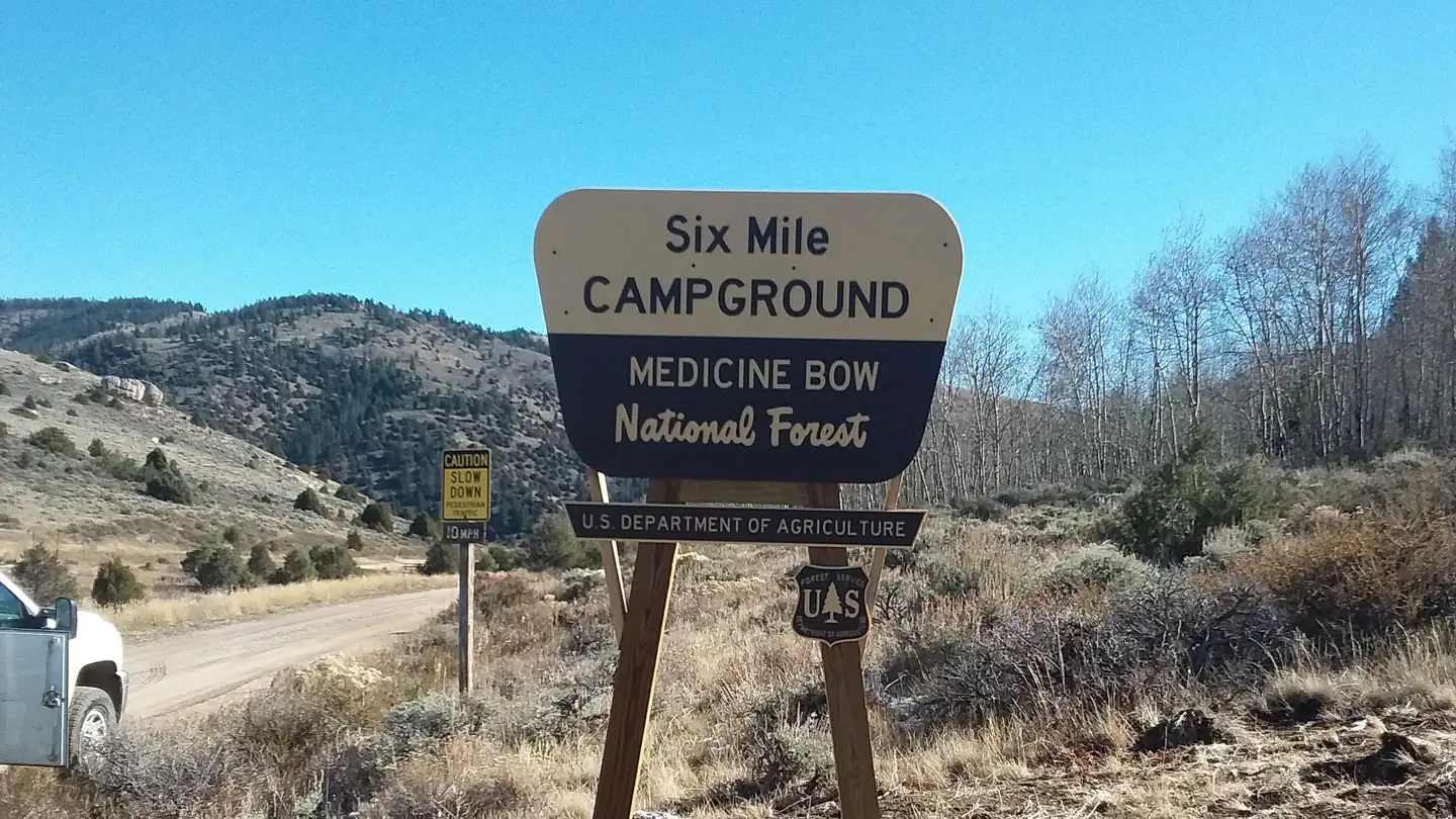
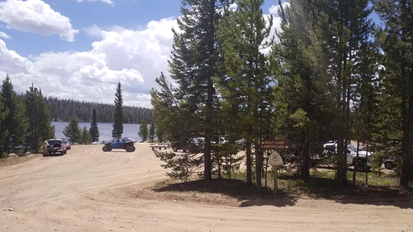
The nearest public campgrounds are Six Mile Campground (5.4 mi, partly first-come), Miller Lake Dispersed Campground (7.7 mi, first-come), and Rob Roy Campground (10.2 mi).
Source: Campgrounds nearby