Quigley Group Use
Quigley Group Use Site sits in forested mountain terrain on the top of MacDonald Pass about 15 miles west of Helena, Montana. Quigley is on public land managed by the Helena Ranger District of the Helena-Lewis and Clark National Forest and is adjacent to the Continental Divide National Scenic (CDNST) trail. Located right on the Continental Divide at 6,300 feet elevation, there are spectacular views of surrounding country encompassing meadows, timbered slopes, and mountains. The site is available for rental from June 1 to October 15 each year and closed at all other times.
More like this: reservable in Montana · pets allowed in Montana · group sites in Montana
Check availability on Recreation.gov ↗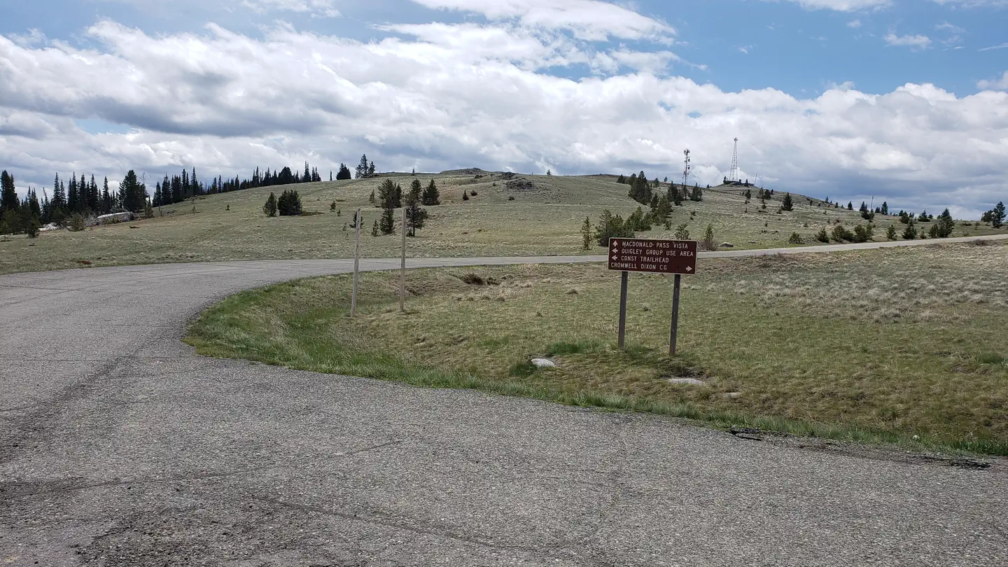
Site mix
| Group sites | 1 |
Site guide
1 site. Tap a filter to narrow the list; the map follows.
| Site | Entry | Surface | Shade | Water / sewer | People / vehicles | Fires |
|---|---|---|---|---|---|---|
| Quigley Group Use Site | Back-in | Gravel | None | No / – | 40 / 15 | Yes |
Per-site records as published by the managing agency on Recreation.gov. Blank cells mean the agency listed nothing for that site. Check-in 2:00 PM, checkout 11:00 AM.
Amenities & rules
| Pets | Allowed |
| Campfires | Allowed, subject to restrictions |
| Fees | There is a $50/night fee for the group site. |
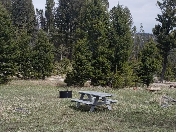
Quigley Group Use Site is an undeveloped camping area able to accommodate approximately 40 people. There is limited trailer parking and trailers should not exceed 20 feet in length. Space is available for 10-12 four-person tents. There is one vault toilet on-site. Large groups staying for a longer period often choose to have portable toilet(s) delivered at the start of thier stay and pickup up before the end of their stay, at their own expense.
Individual sites vary. Confirm on Recreation.gov or with the managing office.
Weather by month
Getting there
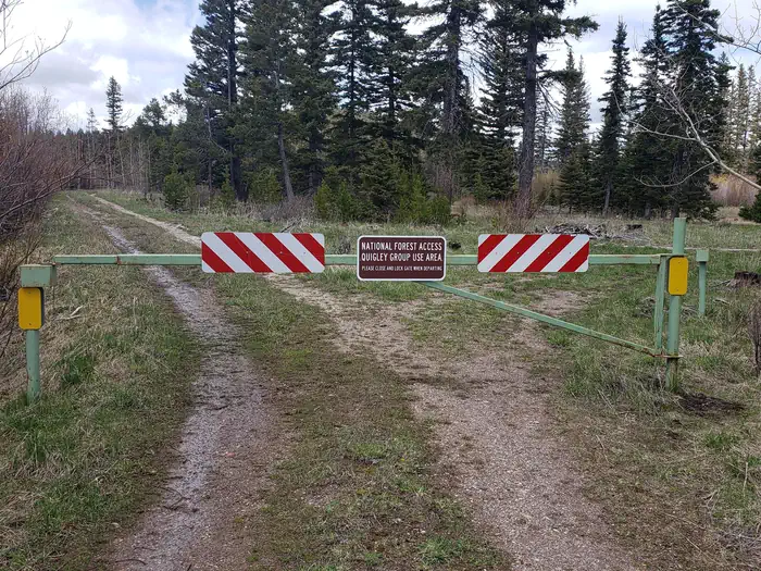
From Helena, Montana, take US-12 W west for 13 miles to the top of MacDonald Pass, turn left (south) at the Cromwell-Dixon Campground sign and cross the large cattle guard. Turm left (east) again, travel about 500 feet and cross a second cattle guard. Then, turn left (north) again and you'll be at the gated entrance into the Quigley Day Use area.
| Nearest town | Helena, Montana |
| Coordinates | 46.5609° N, 112.3057° W · Directions ↗ |
Good to know
- There are no camper hook ups and water is not available.
- The area is not remote, and users can expect to encounter other people recreating.
Fire nearby
- PrescribedSure Thing Swamp Rx
8 mi from the campground · 180 acres
- PrescribedBear Gulch Rx
11 mi from the campground · 300 acres
- PrescribedWakina Sky Rx
11 mi from the campground · 300 acres
- PrescribedHogum Creek Road Piles Rx
30 mi from the campground · 5 acres
Distance is to the reported incident point, not the fire edge. Call the managing office before you drive.
Supplies & services
| Outdoor gear | The Base Camp ↗ | 12.7 mi |
| RV sales & service | D & D RV Center ↗ | 14.8 mi |
| Dump station | Dump station ↗ | 23.5 mi |
Locations © OpenStreetMap contributors. Call ahead; hours change seasonally.
Explore
Worth a stop
The Continental Divide National Scenic Trail (CDNST) mile 616 is just a few hundred feet from the group use site, and the CDNST runs due north and south from there. The City of Helena is about 15 miles away via US Highway 12. Note, the area is near a fee campground and a trailhead, and both are well used by the general public all summer long.
- 0.3 miMac Donald Pass Ski Trailhead ↗Trailhead
Trails nearby
- 2.8 miSwitchback Ridge3.6 mi trail · hiking, horse, bike
- 3.3 miTen Mile Environmental1.9 mi trail · hiking, horse, bike
Trailheads within three miles
- 0.1 miCDNST Trailhead ↗Helena-Lewis and Clark National Forest
- 0.3 miMac Donald Pass Ski Trailhead ↗Helena-Lewis and Clark National Forest
Trail and trailhead records are the Forest Service's. Distances are straight-line to the nearer trail end. Trail conditions are not tracked here.
Other campgrounds nearby

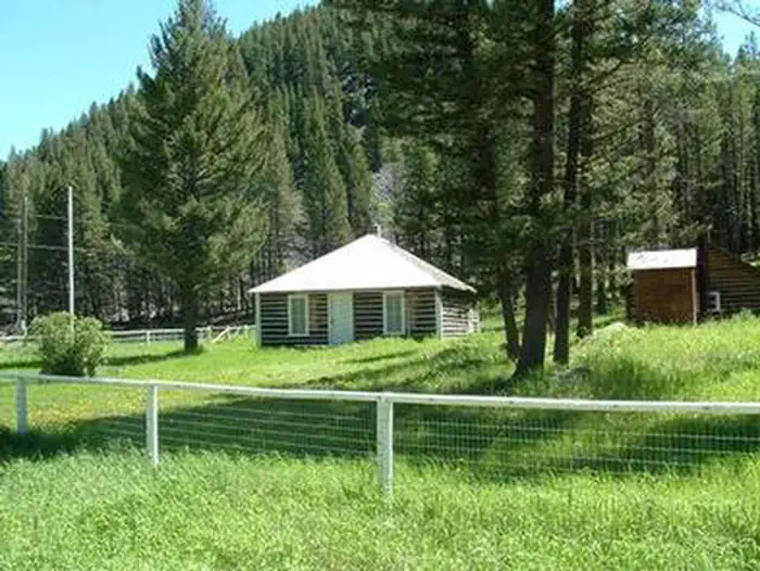
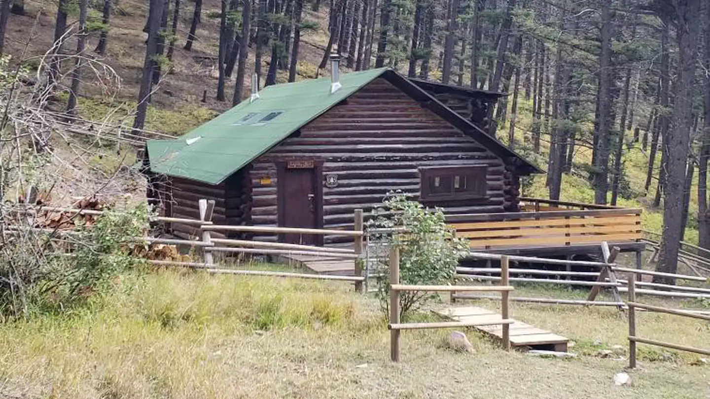
Cabin and lookout rentals nearby
On the National Register nearby
- MacDonald Pass Airway BeaconStructure · Helena · 0.4 mi
- Thomas P. Regan CabinBuilding · Helena · 1.2 mi
- Wassweiler Hotel and Bath HousesBuilding · Helena · 9.8 mi
Natural features
At an elevation of 6,300 feet, beneath a canopy of lodgepole pine and Douglas fir trees, this Group Site is an ideal setting for larger families or groups seeking relaxation and recreation. Nearby rugged ridges, meadows, forests and grasslands provide wildlife diverse ecosystems.
Recreation
Quigley Group Use offers outdoor enthusiasts the opportunity to hike, bike and enjoy a long list of outdoor recreational activities on and around the Continental Divide Trail system. Hunting, photography, and exploration are all great recreational activities in this area. There is an extensive road system 10 miles to the west (Little Blackfoot) and five miles to the east (Rimini and Priest Pass) where many people use trucks or ride off-highway vehicles in the summer and fall to see the general area and old mining relics. The area to the south and north is sparsely roaded and offers a non-motorized, more remote experience.
Guidebooks for Montana
We earn a small commission if you buy through these links. It does not change what we list.

Titles come from Open Library's catalog, matched by subject heading or by title.
Reference
Questions people ask
Do I need a reservation at Quigley Group Use?
Sites at Quigley Group Use are reservable on Recreation.gov. Any walk-up sites are listed on the booking page.
Source: Recreation.gov
How much does it cost to camp at Quigley Group Use?
There is a $50/night fee for the group site.
Source: Recreation.gov
What time is check-in at Quigley Group Use?
Check-in 2:00 PM, checkout 11:00 AM.
Source: Recreation.gov
How many sites does Quigley Group Use have?
1 site, including 1 group site.
Source: Recreation.gov
Are pets allowed at Quigley Group Use?
Yes, pets are allowed at Quigley Group Use. Leash rules apply.
Source: Recreation.gov
Can I have a campfire at Quigley Group Use?
Fires are allowed in the provided rings under normal conditions. As of 2026-10-16, there are 4 active fires within 50 miles, so check current restrictions before you light one.
Source: Fire nearby
Is there cell service at Quigley Group Use?
FCC coverage maps show Verizon 5G, AT&T 5G, and T-Mobile 5G at the campground point. Terrain changes that from one site to the next.
Source: FCC Broadband Map
What is there to do at Quigley Group Use?
Quigley Group Use offers outdoor enthusiasts the opportunity to hike, bike and enjoy a long list of outdoor recreational activities on and around the Continental Divide Trail system. The Recreation section on this page has the rest.
Source: Recreation
What is the nearest town to Quigley Group Use?
Helena, Montana. The Continental Divide National Scenic Trail (CDNST) mile 616 is just a few hundred feet from the group use site, and the CDNST runs due north and south from there.
Source: Getting there
What if Quigley Group Use is full?
The nearest public campgrounds are Moose Creek Campground (3.4 mi, first-come), Park Lake Campground (10.4 mi, first-come), and Cromwell Dixon Campground (16.8 mi, first-come).
Source: Campgrounds nearby