Lost Horse Cabin
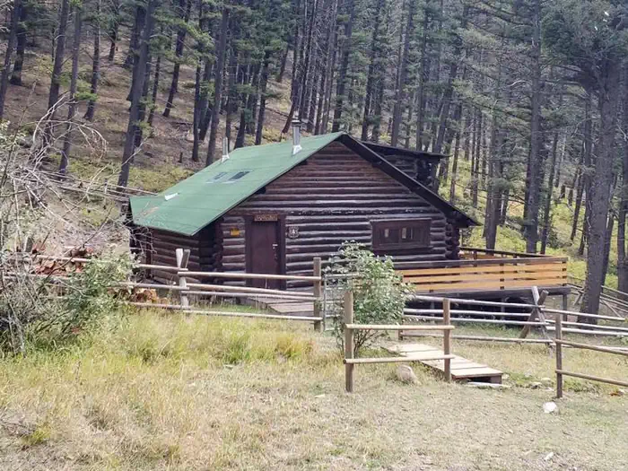
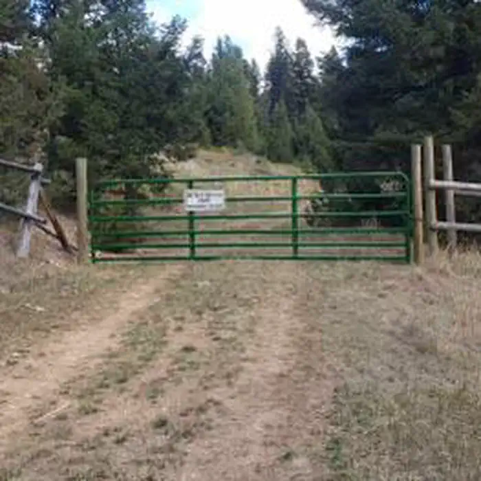
Lost Horse Cabin is located 35 miles west of Helena, Montana, on public land managed by the Helena Ranger District of the Helena-Lewis and Clark National Forest. The cabin was acquired by the Forest Service in 2017 and is a rustic retreat for guests seeking relaxation and recreation in west-central Montana. The cabin is typically accessible by car; however, heavy amounts of snow in winter can close the last 2 miles of the road to vehicles. Access to the cabin once the snow sets in is via a 2-mile stretch of road passable by snowmobile, snowshoe, skis or dog sled. Guests must be prepared to pack in their own supplies.
Check availability on Recreation.gov ↗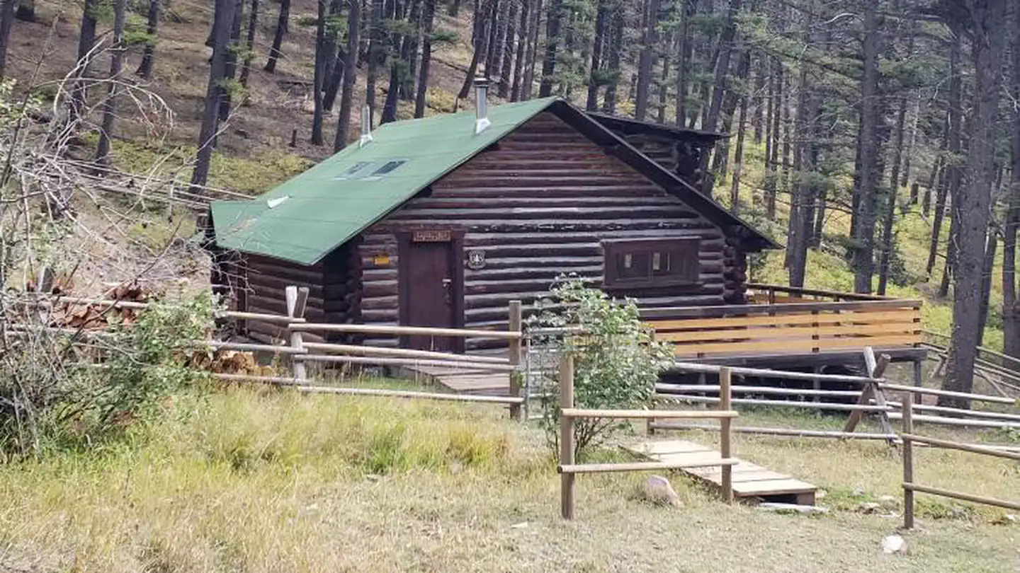
Site mix
| Cabins | 1 |
Site guide
1 site. Tap a filter to narrow the list; the map follows.
| Site | Shade | Water / sewer | People / vehicles | Fires | Rating |
|---|---|---|---|---|---|
| Lost Horse Cabin | Partial | No / – | 8 / 3 | Yes | Basic |
Per-site records as published by the managing agency on Recreation.gov. Blank cells mean the agency listed nothing for that site. Check-in 02:00 PM, checkout 11:00 AM.
Amenities & rules
| Pets | Allowed |
| Campfires | Allowed, subject to restrictions |
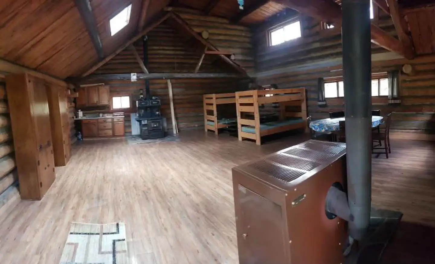
The cabin is furnished with 2 sets of bunk beds, with mattresses, and four cots that can accommodate up to 8 people. A wood stove is provided for heat and there is also a Monarch cookstove in the cabin. Other amenities include lanterns, a table and chairs, cleaning supplies, a propane cooking stove, dishes, utensils, and some cookware. An outhouse with vault toilet is nearby. An axe and snow shovel are provided. Fuel and mantels are not provided for the propane stove or lantern, so guests should bring a couple of small propane cylinders, as well as backup lighting. Items to bring include water, sleeping bags, linens, towels, dish soap, matches, first aid kit, toilet paper and garbage bags. Guests are expected to pack out all trash and food and clean the cabin before leaving. This is a remote location and no commerical stores or services are near the cabin.
Individual sites vary. Confirm on Recreation.gov or with the managing office.
Weather by month
Getting there
From Helena: take I-15 north for 5 miles and take exit 200 for Lincoln Road West/Montana Highway 279 and turn left onto Lincoln Road West/Montana Highway 279. Stay on Lincoln Road West/Montana Highway 279 for 13 miles. As you pass through Canyon Creek, take a slight left off the main road, onto Little Prickley Pear Road (gravel road).
| Nearest town | Helena, Montana |
| Coordinates | 46.7601° N, 112.4382° W · Directions ↗ |
Good to know
- Firewood may be available, but it is not guaranteed.
- The cabin is not wired for electricity, and water is not available so guests should bring a sufficient amount of water for drinking, cooking, and washing.
Fire nearby
- PrescribedHogum Creek Road Piles Rx
15 mi from the campground · 5 acres
- PrescribedBear Gulch Rx
21 mi from the campground · 300 acres
- PrescribedWakina Sky Rx
22 mi from the campground · 300 acres
- PrescribedSure Thing Swamp Rx
22 mi from the campground · 180 acres
Distance is to the reported incident point, not the fire edge. Call the managing office before you drive.
Supplies & services
| Outdoor gear | Montana Fly Goods Co ↗ | 22 mi |
| RV sales & service | D & D RV Center ↗ | 23.8 mi |
| Dump station | Dump station ↗ | 26 mi |
Locations © OpenStreetMap contributors. Call ahead; hours change seasonally.
Explore
Worth a stop
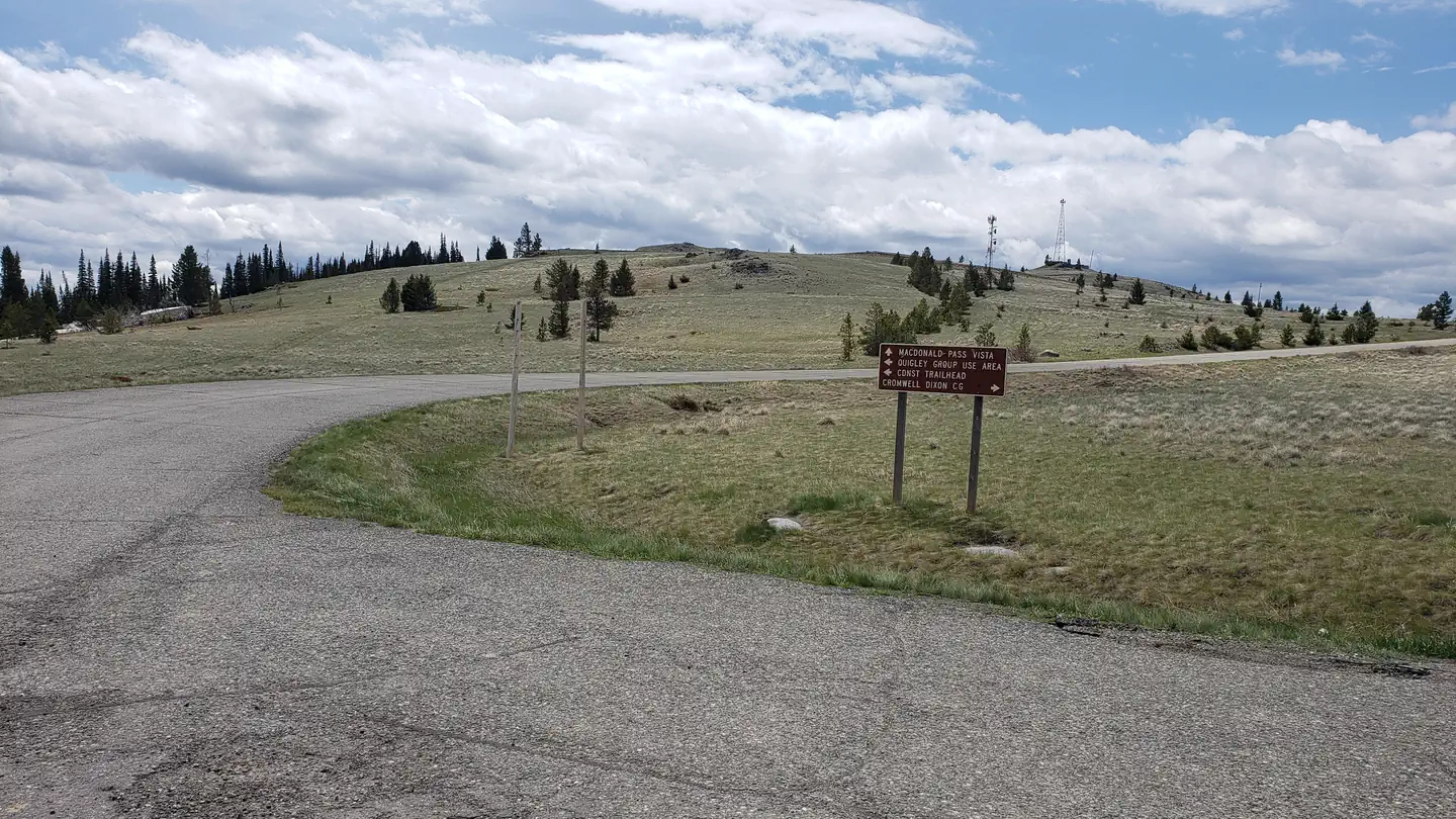
This is a remote cabin and most attractions in this area are based around outdoor activities.
- 14.8 miMac Donald Pass Ski Trailhead ↗Trailhead
Trails nearby
- 1.6 miJerusha Gulch3.6 mi trail · hiking, horse, bike, e-bike
- 2.5 miFaith Gulch0.4 mi trail · hiking, horse, bike, e-bike
- 2.7 miUpper Hope Gulch1.6 mi trail · hiking, horse, bike, e-bike
- 3 miDeadwood Gulch T12.9 mi trail · hiking, horse, bike, e-bike
- 3.8 miDeadwood Gulch T21.2 mi trail · hiking, horse, bike, e-bike
- 4 miCellar Gulch3.8 mi trail · hiking, horse, bike, e-bike
Trail and trailhead records are the Forest Service's. Distances are straight-line to the nearer trail end. Trail conditions are not tracked here.
Public land it sits in
Lolo National Forest begins about 7.3 miles away, and it is the closest of these.
- 7.3 miLolo National Forest ↗National Forest · Forest Service · 2,625,457 acres
Each unit is published as a centre point and an acreage rather than a boundary, so this section stands it in for a circle of the same area. Whether a campground is inside, and how far it is from one it is outside, are both approximate.
Other campgrounds nearby


Cabin and lookout rentals nearby

On the National Register nearby
- Summit LodgeBuilding · Helena · 2.7 mi
- Methodist-Episcopal Church of MarysvilleBuilding · Marysville · 6.6 mi
- Silver City CemeterySite · Silver City · 12.3 mi
Natural features
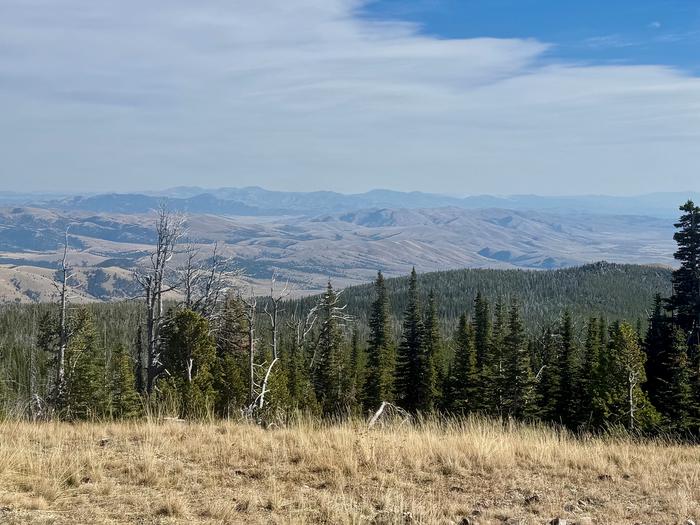
The cabin sits along a small intermittent creek at an elevation of 5,200 feet in the Divide Mountains. The region boasts a coniferous forest with mixed fir and pine trees. The Helena-Lewis and Clark National Forest offers many streams and fishing opportunities. Native wildlife includes black and grizzly bears, mule-deer and white-tailed deer, elk, and mountain lions. The area also hosts many upland bird species.
Recreation
Hiking, hunting, photography, and exploration are all great recreational activities in this area. There is an extensive road system not far from the cabin area (to the south and east) where many people use trucks or ride off-highway vehicles in the summer and fall to see the general area and old mining relics. As the crow flies, the cabin is just four miles east of the Continental Divide. The area to the west and north is sparsely roaded and offers an off-trail, remote experience.
Guidebooks for Montana
We earn a small commission if you buy through these links. It does not change what we list.

Titles come from Open Library's catalog, matched by subject heading or by title.
Reference
Questions people ask
Do I need a reservation at Lost Horse Cabin?
Sites at Lost Horse Cabin are reservable on Recreation.gov. Any walk-up sites are listed on the booking page.
Source: Recreation.gov
What time is check-in at Lost Horse Cabin?
Check-in 02:00 PM, checkout 11:00 AM.
Source: Recreation.gov
How many sites does Lost Horse Cabin have?
1 site, including 1 cabin.
Source: Recreation.gov
Are pets allowed at Lost Horse Cabin?
Yes, pets are allowed at Lost Horse Cabin. Leash rules apply.
Source: Recreation.gov
Can I have a campfire at Lost Horse Cabin?
Fires are allowed in the provided rings under normal conditions. As of 2026-10-16, there are 4 active fires within 50 miles, so check current restrictions before you light one.
Source: Fire nearby
Is there cell service at Lost Horse Cabin?
FCC coverage maps show Verizon 4G LTE and T-Mobile 5G at the campground point. Terrain changes that from one site to the next.
Source: FCC Broadband Map
What is there to do at Lost Horse Cabin?
Hiking, hunting, photography, and exploration are all great recreational activities in this area. The Recreation section on this page has the rest.
Source: Recreation
What is the nearest town to Lost Horse Cabin?
Helena, Montana. This is a remote cabin and most attractions in this area are based around outdoor activities.
Source: Getting there
What if Lost Horse Cabin is full?
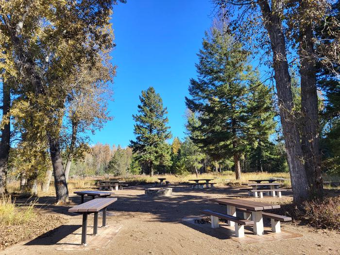
The nearest public campgrounds are Quigley Group Use (15.1 mi), Aspen Grove Group Use Area (15.8 mi), and Moose Creek Campground (18.3 mi, first-come).
Source: Campgrounds nearby