Rampart Range Recreation Area Designated Dispersed Camping
The Rampart Range Recreation Area's Designated Dispersed Camping is operated by ExplorUS LLC. Camping is only allowed in numbered campsites and requires a fee. Trailhead parking within the Rampart Range Recreation Area is free. The Rampart Range Recreation Area is known for its motorized trail system (OHV's less than 50 inches in width), Devils Head Fire Lookout Tower, and climbing areas. Access to over 300 miles of motorized trails in this area, in addition to the motorized trails on the adjacent Pikes Peak Ranger District. Please use the Motor Vehicle Use Map (MVUM) for the South Platte Ranger District to determine your OHV route(s).
More like this: reservable in Colorado · tent only in Colorado · pets allowed in Colorado · group sites in Colorado
Check availability on Recreation.gov ↗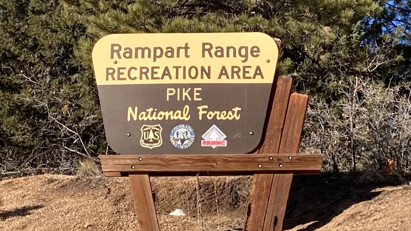
Site mix
| Standard, no hookups | 92 |
| Group sites | 6 |
| Host/management | 2 |
Site guide
97 sites in 7 loops. Tap a filter to narrow the list; the map follows.
| Site | Loop | Type | Surface | Water / sewer | People / vehicles |
|---|---|---|---|---|---|
| Site 2 (Rampart Range Road) | NFSR 300 | Standard | Gravel | No / No | 8 / 2 |
| Site 3 (Rampart Range Road) | NFSR 300 | Standard | Gravel | No / No | 8 / 2 |
| Site 4 (Rampart Range Road) | NFSR 300 | Standard | Gravel | No / No | 8 / 2 |
| Site 5 (Rampart Range Road) | NFSR 300 | Standard | Gravel | No / No | 8 / 2 |
| Site 6 (Rampart Range Road) | NFSR 300 | Standard | Gravel | No / No | 8 / 2 |
| Site 7 (Rampart Range Road) | NFSR 300 | Standard | Gravel | No / No | 8 / 2 |
| Site 8 (Rampart Range Road) | NFSR 300 | Standard | Gravel | No / No | 8 / 2 |
| Site 9 (Rampart Range Road) | NFSR 300 | Standard | Gravel | No / No | 8 / 2 |
| Site 10 (Rampart Range Road) | NFSR 300 | Standard | Gravel | No / No | 8 / 2 |
| Site 11 (Rampart Range Road) | NFSR 300 | Standard | Gravel | No / No | 8 / 2 |
Per-site records as published by the managing agency on Recreation.gov. Blank cells mean the agency listed nothing for that site. Check-in 2:00 PM, checkout 12:00 PM.
4 campsite locations mapped by OpenStreetMap contributors. The site numbers are theirs and may not match the posts at the campground. Map data © OpenStreetMap contributors, ODbL.
Amenities & rules
| Equipment | Tents |
| Pets | Allowed |
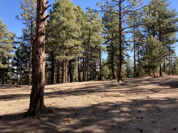
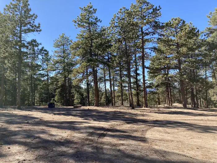
No water is available in this area. Please bring water from home. There are vault toilets at most trailheads and port-a-potties in the area. Trash is "Pack in - Pack out"...please take your trash home with you.
Individual sites vary. Confirm on Recreation.gov or with the managing office.
Weather by month
Getting there
| Coordinates | 39.3772° N, 105.0941° W · Directions ↗ |
Charges and cancellations
Cancellations Individual Campsites: Cancellations up to 2 days before a reservation start date incur a $10.00 cancellation fee. A visitor who cancels a reservation the day before or on the day of arrival will pay a $10.00 service fee AND forfeit the first night's use fee including tax and applicable add-on for a campsite. Cancellations for a one-night reservation will forfeit the entire amount paid and will not be subject to an additional service fee. Group Sites Group Facility (including Cabins and Lookouts): A visitor who cancels a group overnight facility reservation less than 14 days before the arrival date will pay a $10.00 service fee AND forfeit the first night's use fee. No-Shows A no-show visitor is one who does not arrive at a campground and does not cancel the reservation by check-out time on the day after the scheduled arrival date. Staff will hold a campsite until check-out time on the day following the arrival date. No-shows are assessed $20.00 service fee and forfeit the first night's rate, taxes and applicable add-on for a campsite.
Fire nearby
- PrescribedHarris Park Broadcast Rx
24 mi from the campground · 390 acres
- PrescribedRainbow Gulch Rx
28 mi from the campground · 912 acres
- PrescribedO'Brien 2 Broadcast Rx
32 mi from the campground · 267 acres
Distance is to the reported incident point, not the fire edge. Call the managing office before you drive.
Supplies & services
| Dump station | Dump station ↗ | 11.2 mi |
| Outdoor gear | Coleman Factory Outlet ↗ | 12 mi |
| RV sales & service | Berkenkotter Motors ↗ | 12.5 mi |
Locations © OpenStreetMap contributors. Call ahead; hours change seasonally.
Explore
Video
Dispersed Camping in Colorado's Front Range
Worth a stop
Motorized trail system, Devils Head Fire Lookout Tower, and climbing areas.
- 0.3 miIndian Creek Trailhead ↗Trailhead
- 1.6 miGarber Creek Trailhead ↗Trailhead
- 5.1 miWillow Bend Picnic Area ↗Day use
- 6 miScraggy View Picnic Area ↗Day use
Trails nearby
- 0.3 miPowerline ↗6.8 mi trail · hiking, horse, bike, motorcycle and 2 more
- 0.4 miIndian Creek ↗11.2 mi trail · hiking, horse, bike
- 1 miRingtail2.6 mi trail · hiking, horse, bike
- 1.4 miBeginner ↗9.8 mi trail · hiking, horse, bike, motorcycle and 2 more
- 1.6 miGarber2.7 mi trail · hiking, horse, bike, motorcycle and 2 more
- 2.1 miBeaver1 mi trail · hiking, horse, bike, motorcycle and 2 more
Trailheads within three miles
- 0.3 miIndian Creek Trailhead ↗Pike-San Isabel National Forests
- 1.6 miGarber Creek Trailhead ↗Pike-San Isabel National Forests
Trail and trailhead records are the Forest Service's. Distances are straight-line to the nearer trail end. Trail conditions are not tracked here.
Public land it sits in
Lost Creek Wilderness begins about 11.2 miles away, and it is the closest of these.
- 11.2 miLost Creek Wilderness ↗Wilderness · Forest Service · 114,864 acres
Each unit is published as a centre point and an acreage rather than a boundary, so this section stands it in for a circle of the same area. Whether a campground is inside, and how far it is from one it is outside, are both approximate.
Other campgrounds nearby
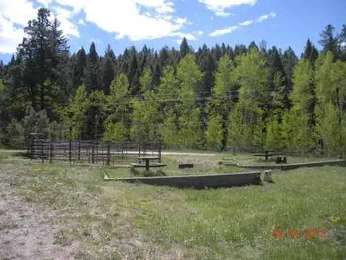

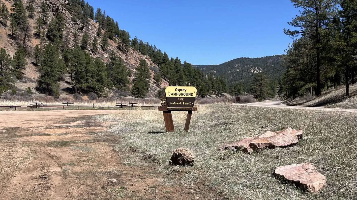
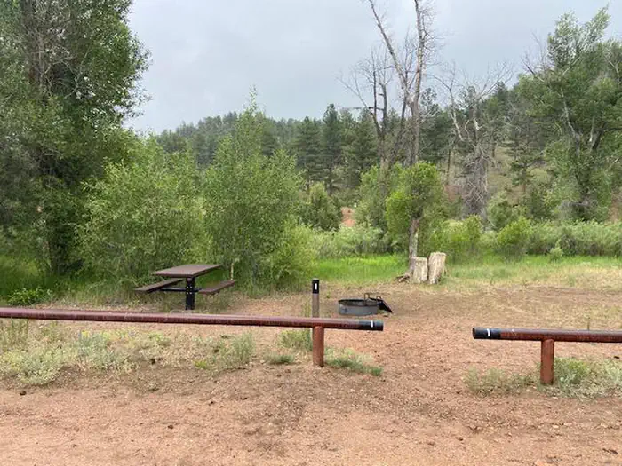
On the National Register nearby
- Indian Park SchoolBuilding · Sedalia · 0.7 mi
- Church of St. Philip-in-the-Field and Bear Canon CemeteryBuilding · Sedalia · 7.2 mi
- Santa Fe Railway Water TankStructure · Sedalia · 8.1 mi
Natural features
The Rampart Range Recreation Area is home to the Devils Head Lookout Tower. The tower is staffed by a U.S. Forest Service fire lookout personnel.
Recreation
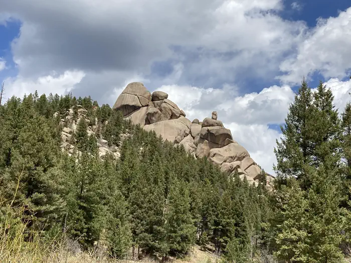
Rampart Range Recreation Area is known for its motorized trail system, Devils Head Fire Lookout Tower, and climbing areas. Access to over 300 miles of trails in this area, in addition to the motorized trails on the adjacent Pikes Peak Ranger District. Hiking trail to the meadow below the Devils Head Fire Lookout Tower.
Guidebooks for Colorado
We earn a small commission if you buy through these links. It does not change what we list.



Titles come from Open Library's catalog, matched by subject heading or by title.
Reference
Questions people ask
Do I need a reservation at Rampart Range Recreation Area Designated Dispersed Camping?
Sites at Rampart Range Recreation Area Designated Dispersed Camping are reservable on Recreation.gov. Any walk-up sites are listed on the booking page.
Source: Recreation.gov
What time is check-in at Rampart Range Recreation Area Designated Dispersed Camping?
Check-in 2:00 PM, checkout 12:00 PM.
Source: Recreation.gov
What does it cost to cancel a reservation at Rampart Range Recreation Area Designated Dispersed Camping?
Cancellations Individual Campsites: Cancellations up to 2 days before a reservation start date incur a $10.00 cancellation fee.
Source: Charges and cancellations
How many sites does Rampart Range Recreation Area Designated Dispersed Camping have?
100 sites, including 92 standard sites without power and 6 group sites.
Source: Recreation.gov
Can I bring an RV to Rampart Range Recreation Area Designated Dispersed Camping?
Rampart Range Recreation Area Designated Dispersed Camping is listed for tents only.
Source: Recreation.gov
Are pets allowed at Rampart Range Recreation Area Designated Dispersed Camping?
Yes, pets are allowed at Rampart Range Recreation Area Designated Dispersed Camping. Leash rules apply.
Source: Recreation.gov
What is there to do at Rampart Range Recreation Area Designated Dispersed Camping?
Rampart Range Recreation Area is known for its motorized trail system, Devils Head Fire Lookout Tower, and climbing areas. The Recreation section on this page has the rest.
Source: Recreation
What if Rampart Range Recreation Area Designated Dispersed Camping is full?
The nearest public campgrounds are Indian Creek Equestrian Campground (1.3 mi), Flat Rocks Campground (3.4 mi, first-come), and Osprey (4.8 mi, partly first-come).
Source: Campgrounds nearby