Ponderosa Campground
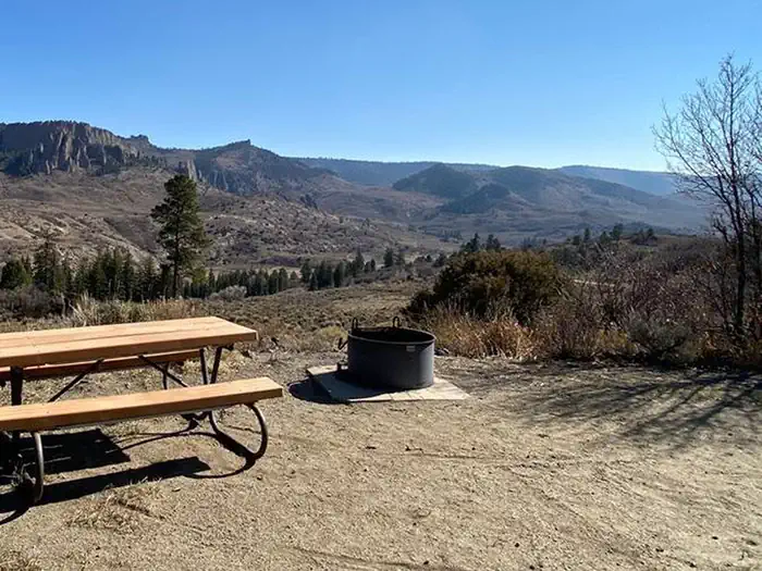
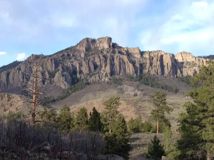
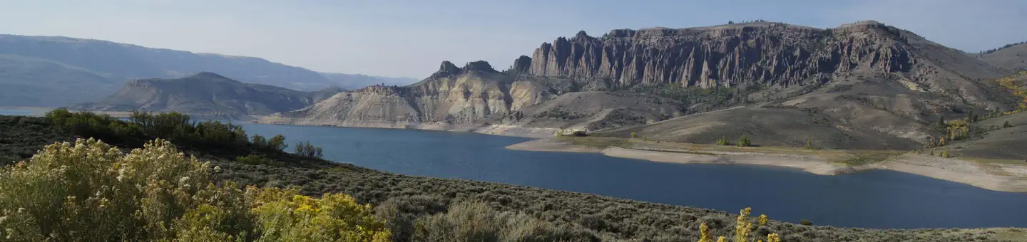
Ponderosa Campground is located at the northwest end of the Soap Creek Arm of Blue Mesa Reservoir at 7880 feet (2402 m). The campground offers outstanding views and solitude. Rain can make the Soap Creek Road impassable.
More like this: reservable in Colorado · pets allowed in Colorado · dark sky in Colorado
Check availability on Recreation.gov ↗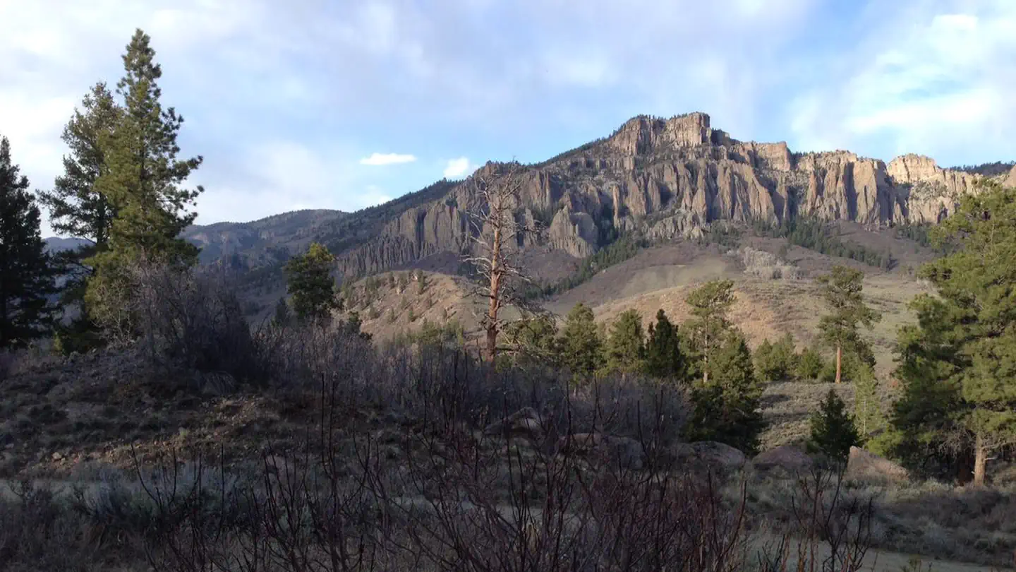
Site mix
| Standard, no hookups | 29 |
| Host/management | 1 |
Site guide
20 sites in 4 loops. Tap a filter to narrow the list; the map follows.
| Site | Loop | Entry | Fires |
|---|---|---|---|
| 24 | Lower | Back-in | |
| 8 | Middle | Back-in | |
| 9 | Middle | Back-in | |
| 10 | Middle | Pull-through | |
| 11 | Middle | Back-in | |
| 17 | Middle | Back-in | |
| 18 | Middle | Back-in | |
| 19 | Middle | Back-in | |
| 20 | Middle | Back-in | |
| 21 | Middle | Back-in |
Per-site records as published by the managing agency on Recreation.gov. Blank cells mean the agency listed nothing for that site.
Amenities & rules
| Pets | Allowed |
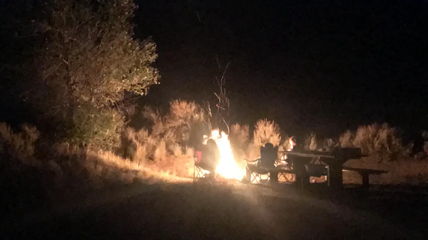
| Campfires | Allowed, subject to restrictions |
| Fees | All campsites at Ponderosa are first-come, first-served. You will pay upon arrival using the Recreation.gov mobile app ( download the app before your visit), or by cash, check or credit card using the self-pay envelope on-site. |
| Dark sky | Inside Curecanti National Recreation Area, a certified International Dark Sky Park |
Trash/recycling collection provided. Vault toilets only. Horse Corral in upper loop.
Individual sites vary. Confirm on Recreation.gov or with the managing office.
Weather by month
Getting there
From U.S. Highway 50, turn onto CO Highway 92. In less than 1 mile (1.6 km) you will cross over the Blue Mesa Dam. Approximately one half (.5) mile after crossing the dam, turn right on Soap Creek Road (a gravel road also known as County Road 721 and/or Blue Mesa Drive). Proceed 7 miles (18 km) north on Soap Creek Road to reach the campground.
| Coordinates | 38.5257° N, 107.3149° W · Directions ↗ |
Good to know
- During dry conditions, the first 7 miles (11 km) of Soap Creek Road are passable to trailers and RVs.
Fire nearby
- PrescribedHigh Mesa Piles Rx
22 mi from the campground · 324 acres
- WildfireGold Mountain
38 mi from the campground · 39,747 acres · 92% contained
- PrescribedTransfer Rd Rx
46 mi from the campground · 139 acres
Distance is to the reported incident point, not the fire edge. Call the managing office before you drive.
Supplies & services
| Dump station | Dump station ↗ | 8.8 mi |
| Outdoor gear | Float Shack ↗ | 29.5 mi |
Locations © OpenStreetMap contributors. Call ahead; hours change seasonally.
Explore
Video
Ponderosa Campground - Los Padres National Forest, CA
Worth a stop
- 3.2 miCommissary Trailhead ↗Trailhead
- 8.7 miCurecanti Boat Launch Permit ↗Boat launch
- 9 miElk Creek Visitor Center ↗Visitor center
Trails nearby
- 1.5 miCoal Mesa ↗14.2 mi trail · hiking, horse
- 4.2 miLion Gulch4 mi trail · hiking, horse
- 4.7 miCurecanti ↗23.1 mi trail · hiking, horse, bike
Trail and trailhead records are the Forest Service's. Distances are straight-line to the nearer trail end. Trail conditions are not tracked here.
Public land it sits in
This campground sits inside Grand Mesa, Uncompahgre and Gunnison National Forests.
- inGrand Mesa, Uncompahgre and Gunnison National Forests ↗National Forest · Forest Service · 3,153,199 acres
- 4.5 miWest Elk Wilderness ↗Wilderness · Forest Service · 176,431 acres
Each unit is published as a centre point and an acreage rather than a boundary, so this section stands it in for a circle of the same area. Whether a campground is inside, and how far it is from one it is outside, are both approximate.
Other campgrounds nearby

Cabin and lookout rentals nearby
On the National Register nearby
- Rimrock SchoolBuilding · Sapinero · 13.2 mi
- Denver & Rio Grande Western Railroad Boxcar No. 3132Structure · Cimarron · 13.7 mi
- Denver & Rio Grande Western Railroad Caboose No. 0577Structure · Cimarron · 13.7 mi
Guidebooks for Colorado
We earn a small commission if you buy through these links. It does not change what we list.



Titles come from Open Library's catalog, matched by subject heading or by title.
Reference
Questions people ask
Do I need a reservation at Ponderosa Campground?
Sites at Ponderosa Campground are reservable on Recreation.gov. Any walk-up sites are listed on the booking page.
Source: Recreation.gov
How much does it cost to camp at Ponderosa Campground?
All campsites at Ponderosa are first-come, first-served. You will pay upon arrival using the Recreation.gov mobile app ( download the app before your visit), or by cash, check or credit card using the self-pay envelope on-site.
Source: Recreation.gov
What time is check-in at Ponderosa Campground?
Check-in 1:00 PM, checkout 1:00 PM.
Source: Recreation.gov
How many sites does Ponderosa Campground have?
30 sites, including 29 standard sites without power.
Source: Recreation.gov
Are pets allowed at Ponderosa Campground?
Yes, pets are allowed at Ponderosa Campground. Leash rules apply.
Source: Recreation.gov
Can I have a campfire at Ponderosa Campground?
Fires are allowed in the provided rings under normal conditions. As of 2026-10-16, there are 3 active fires within 50 miles, so check current restrictions before you light one.
Source: Fire nearby
Is Ponderosa Campground good for stargazing?
Yes. Ponderosa Campground sits inside Curecanti National Recreation Area, a certified International Dark Sky Park.
Source: DarkSky International
What if Ponderosa Campground is full?
The nearest public campgrounds are Soap Creek (1.5 mi, first-come), Lake Fork Campground (4.7 mi), and Red Creek Group Site (4.9 mi).
Source: Campgrounds nearby
Which national park is Ponderosa Campground in?
Ponderosa Campground is a Curecanti National Recreation Area campground. Entrance fees, alerts, and hours are on Park Atlas.