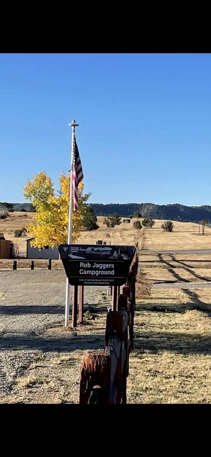
Rob Jagger's Campground
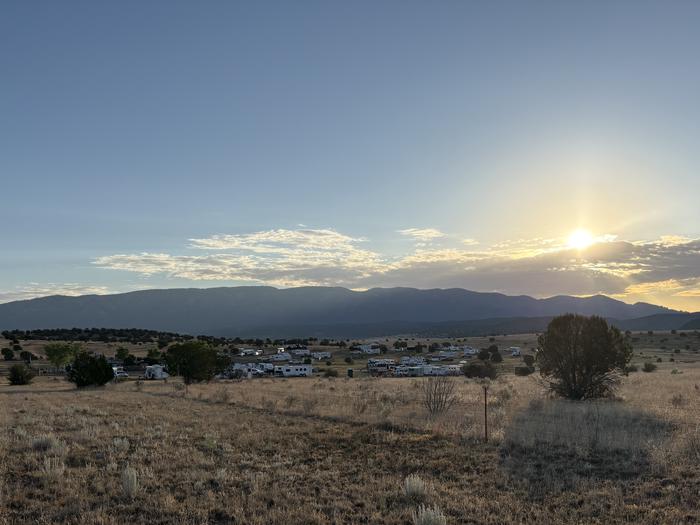
Rob Jaggers Camping Area: This site consists of 2 large day use parking areas, 2 vault toilets, and facilities for staging horseback riding. There are 27 campsites with electricity and potable water hookups, and other potable water outlets scattered throughout. Campites and horse corrals are first-come, first-served. Camping is restricted to the campground only and no camping is permitted in the day use parking area. Occasionally the campground is rented out for Special Recreation Permitted events. When this happens notification will be made to the public in the form of a news release. BLM requires a Special Recreation Permit for some events.
More like this: electric hookups in New Mexico · reservable in New Mexico · pets allowed in New Mexico · group sites in New Mexico
Check availability on Recreation.gov ↗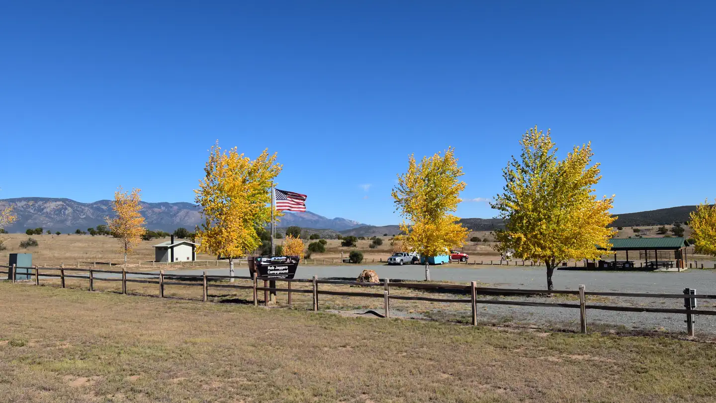

Site mix
| RV with electric | 27 |
| group shelter electric | 1 |
| Host/management | 27 |
Site guide
28 sites. Tap a filter to narrow the list; the map follows.
| Site | Type | Entry | Surface | Shade | Power | Water / sewer | Fires | Rating |
|---|---|---|---|---|---|---|---|---|
| Site 1 | RV electric | Pull-through | Gravel | None | 20/30/50 amp | Yes / – | Yes | Standard |
| Site 2 | RV electric | Back-in | Gravel | None | 20/30/50 amp | Yes / – | Yes | Standard |
| Site 3 | RV electric | Back-in | Gravel | None | 20/30/50 amp | Yes / – | Yes | Standard |
| Site 4 | RV electric | Pull-through | Gravel | None | 20/30/50 amp | Yes / – | Yes | Standard |
| Site 5 | RV electric | Back-in | Gravel | None | 20/30/50 amp | Yes / – | Yes | Standard |
| Site 6 | RV electric | Back-in | Gravel | None | 20/30/50 amp | Yes / – | Yes | Standard |
| Site 7 | RV electric | Back-in | Gravel | None | 20/30/50 amp | Yes / – | Yes | Standard |
| Site 8 | RV electric | Pull-through | Gravel | None | 20/30/50 amp | Yes / – | Yes | Standard |
| Site 9 | RV electric | Back-in | Gravel | None | 20/30/50 amp | Yes / – | Yes | Standard |
| Site 10 | RV electric | Pull-through | Gravel | None | 20/30/50 amp | Yes / – | Yes | Standard |
Per-site records as published by the managing agency on Recreation.gov. Blank cells mean the agency listed nothing for that site. Check-in 2:00 PM, checkout 11:00 AM.
Amenities & rules
| Hookups | Electric, water |
| Equipment | RVs & trailers, Tents |
| Pets | Allowed |
| Campfires | Allowed, subject to restrictions |
Recreation opportunities This unique NCA has many opportunities for hiking, caving, horseback riding, mountain biking, camping, visiting cultural and historic sites, picnicking, hunting, wildlife viewing, nature study, and photography. There is drinking water and toilets at the Rob Jaggers Camping Area and at the Cave Campgrounds. Trails (Hiking, Biking, Horseback Riding) Fort Stanton NCA has 73 miles of sustainable horseback, mountain biking, and hiking trails that wind through open meadows and canyons. Trails are marked with flexible fiberglass markers with the trail name or an arrow attached to the marker. Cross-country horse and foot travel is allowed. Mountain bikes are strongly encouraged to stay on established trails to protect the rider as well as the landscape. The trails offer great views of the surrounding Sacramento and Capitan Mountains. The majority of the trails start at the Rob Jaggers Camping Area on NM 220 where you will find hitching rails, water for your animals, and a vault toilet. Rio Bonito Petroglyph National Recreation Trail Hike the Petroglyph Trail along the Rio Bonito and glimpse into the past.
Individual sites vary. Confirm on Recreation.gov or with the managing office.
Weather by month
Getting there
DIRECTIONS. From the intersection of NM 246 and US 380 in Capitan, NM, drive east on US 380 for 4.3 miles to NM 220, which will be on the right. Take NM 220 approximately 1 mile and arrive at Rob Jagger's Campground on the left. From the west end of Lincoln, NM, drive west 7.75 miles to NM 220, which will be on the left.
| Nearest town | Fort Stanton, New Mexico |
| Coordinates | 33.5138° N, 105.5116° W · Directions ↗ |
Fire nearby
- PrescribedD1 Programmatic Piles Rx
18 mi from the campground
Distance is to the reported incident point, not the fire edge. Call the managing office before you drive.
Supplies & services
| Dump station | RV Dump Station ↗ | 26.4 mi |
Locations © OpenStreetMap contributors. Call ahead; hours change seasonally.
Explore
Video
Rob Jagger Campground, New Mexico
Worth a stop
Nearby camping/recreation opportunities: The BLM's Fort Stanton National Conservation Area has 93 miles of sustainable horseback, mountain biking, and hiking trails that wind through open meadows and canyons. Trails are marked with flexible fiberglass markers with the trail name or an arrow attached to the marker. Cross-country horse and foot travel is allowed. Mountain bikes are strongly encouraged to stay on established trails to protect the rider as well as the landscape. The trails offer great views of the surrounding Sacramento and Capitan Mountains. The majority of the trails start at the Rob Jaggers Camping Area on NM 220 where you will find hitching rails, water for your animals, and a vault toilet. Additonal nearby attractions include Capitan, Lincoln, and Ruidoso. Capitan, located approximately 5 miles west of the Rob Jagger's Campground on U.S. Highway 380, is known as the birthplace of Smokey Bear, and features a popular visitor center. Lincoln, located 8 miles east on U.S. Highway 380, is famous as the site of the historic Lincoln County Wars as well as the exploits of Billy the Kid and Sheriff Pat Garrett.
- 14.5 miCedar Creek Picnic Shelter ↗Day use
Public land it sits in
This campground sits inside Fort Stanton–Snowy River Cave National Conservation Area.
- inFort Stanton–Snowy River Cave National Conservation Area ↗National Conservation Area · Bureau of Land Management · 27,872 acres
- 8.9 miCapitan Mountains Wilderness ↗Wilderness · Forest Service · 35,091 acres
- 12.4 miWhite Mountain Wilderness ↗Wilderness · Forest Service · 46,963 acres
Each unit is published as a centre point and an acreage rather than a boundary, so this section stands it in for a circle of the same area. Whether a campground is inside, and how far it is from one it is outside, are both approximate.
Other campgrounds nearby



Cabin and lookout rentals nearby
Historic landmarks nearby
.jpg/960px-Iglesia_de_San_Juan_Bautista%2C_U.S._Highway_380%2C_Lincoln_(Lincoln_County%2C_New_Mexico).jpg)
Natural features
Fort Stanton Snowy River Cave National Conservation Area: Surrounding the Rob Jagger's campground is the Fort Stanton Snowy River Cave National Conservation Area (NCA). At around 6300' elevation the NCA offers a diverse habitat of High Desert cedar/juniper hillsides with Ponderosa Pine stringers and hardwoods meandering through the canyon bottoms. Petroglyph Rock: Along the Rio Bonito River petroglyph trail is Petroglyph Rock. Etched on this rock are depictions of an ancient people known as the Jornada Mogollon who have long since left the area. Very little evidence has stood the test of time, but here on the Petroglyph Trail remains a link to the culture and lifestyle of these ancient people. Snowy River Cave: The Cave is widely known for its rare velvet formations, and there are also interesting helictites, aragonite, selenite needles, and various forms of gypsum. During the winter months the Cave is closed to protect hibernating bats. The Cave is gated to protect other unique resources and to prevent unsupervised visitation.
Recreation
Recreation opportunities This unique NCA has many opportunities for hiking, caving, horseback riding, mountain biking, camping, visiting cultural and historic sites, picnicking, hunting, wildlife viewing, nature study, and photography. There is drinking water and toilets at the Rob Jaggers Camping Area and at the Cave Campgrounds. Trails (Hiking, Biking, Horseback Riding) Fort Stanton NCA has 73 miles of sustainable horseback, mountain biking, and hiking trails that wind through open meadows and canyons. Trails are marked with flexible fiberglass markers with the trail name or an arrow attached to the marker. Cross-country horse and foot travel is allowed. Mountain bikes are strongly encouraged to stay on established trails to protect the rider as well as the landscape. The trails offer great views of the surrounding Sacramento and Capitan Mountains. The majority of the trails start at the Rob Jaggers Camping Area on NM 220 where you will find hitching rails, water for your animals, and a vault toilet. Rio Bonito Petroglyph National Recreation Trail Hike the Petroglyph Trail along the Rio Bonito and glimpse into the past.
Guidebooks for New Mexico
We earn a small commission if you buy through these links. It does not change what we list.
Titles come from Open Library's catalog, matched by subject heading or by title.
Reference
Questions people ask
Do I need a reservation at Rob Jagger's Campground?
Sites at Rob Jagger's Campground are reservable on Recreation.gov. Any walk-up sites are listed on the booking page.
Source: Recreation.gov
What time is check-in at Rob Jagger's Campground?
Check-in 2:00 PM, checkout 11:00 AM.
Source: Recreation.gov
How many sites does Rob Jagger's Campground have?
55 sites, including 27 RV sites with electric and 1 group shelter electric.
Source: Recreation.gov
Can I bring an RV to Rob Jagger's Campground?
Rob Jagger's Campground is listed for tents only.
Source: Recreation.gov
Does Rob Jagger's Campground have hookups?
Yes, electric and water hookups at some sites.
Source: Recreation.gov
Are pets allowed at Rob Jagger's Campground?
Yes, pets are allowed at Rob Jagger's Campground. Leash rules apply.
Source: Recreation.gov
Can I have a campfire at Rob Jagger's Campground?
Fires are allowed in the provided rings under normal conditions. As of 2026-10-16, there is 1 active fire within 50 miles, so check current restrictions before you light one.
Source: Fire nearby
Is there cell service at Rob Jagger's Campground?
FCC coverage maps show Verizon 4G LTE and AT&T 4G LTE at the campground point. Terrain changes that from one site to the next.
Source: FCC Broadband Map
What is there to do at Rob Jagger's Campground?
Recreation opportunities This unique NCA has many opportunities for hiking, caving, horseback riding, mountain biking, camping, visiting cultural and historic sites, picnicking, hunting, wildlife viewing, nature study, and photography. The Recreation section on this page has the rest.
Source: Recreation
What is the nearest town to Rob Jagger's Campground?
Fort Stanton, New Mexico. Nearby camping/recreation opportunities: The BLM's Fort Stanton National Conservation Area has 93 miles of sustainable horseback, mountain biking, and hiking trails that wind through open meadows and canyons.
Source: Getting there
What if Rob Jagger's Campground is full?
The nearest public campgrounds are Skyline Campground (14.4 mi, first-come), Cedar Creek (Sam Tobias) (14.5 mi), and Sam Tobias Memorial Group Campground (14.5 mi).
Source: Campgrounds nearby