Horseshoe Bend
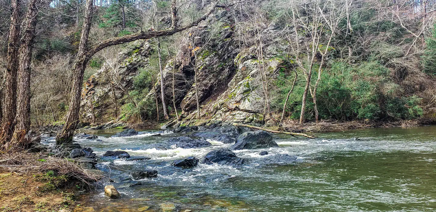
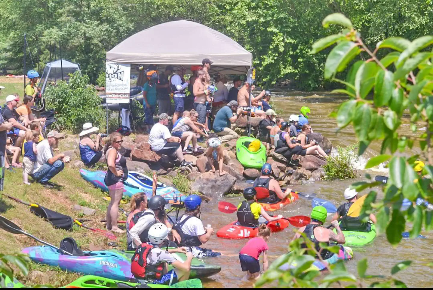
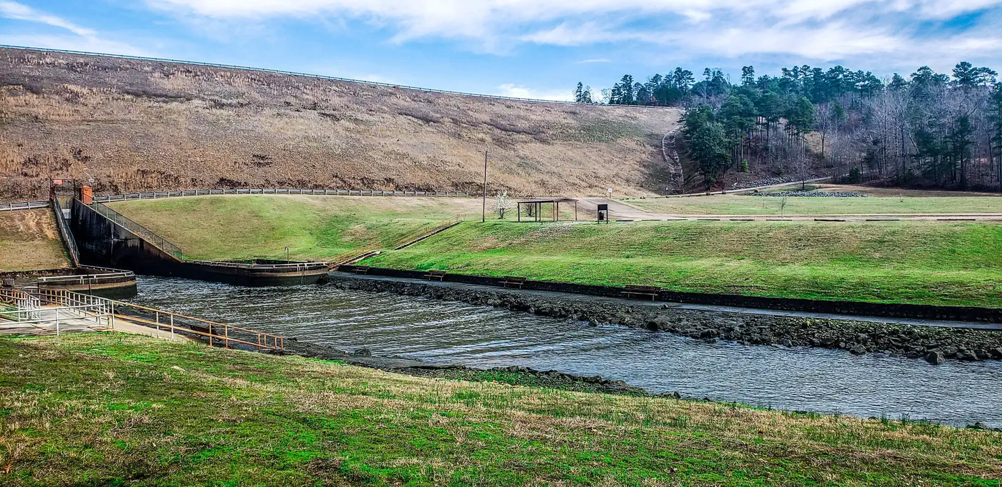
Horseshoe Bend Park, located along the Saline River just south of Dierks Dam, is home to a paddlers dream course. This aquatic whitewater park, built along three quarters of a mile of pristine river funneled over native river stone, offers four or more challenging drops. The course is designed with paddlers in mind and is an excellent training location. The water park was home to the Olympic trials in the late 90’s and is dependent on spillway releases from Dierks Lake dam. When water conditions are right the course simulates Class II to Class IV rapids, all within a safe location that is easily accessible for paddlers to practice new techniques.
More like this: electric hookups in Arkansas · reservable in Arkansas · big rigs in Arkansas · group sites in Arkansas
Check availability on Recreation.gov ↗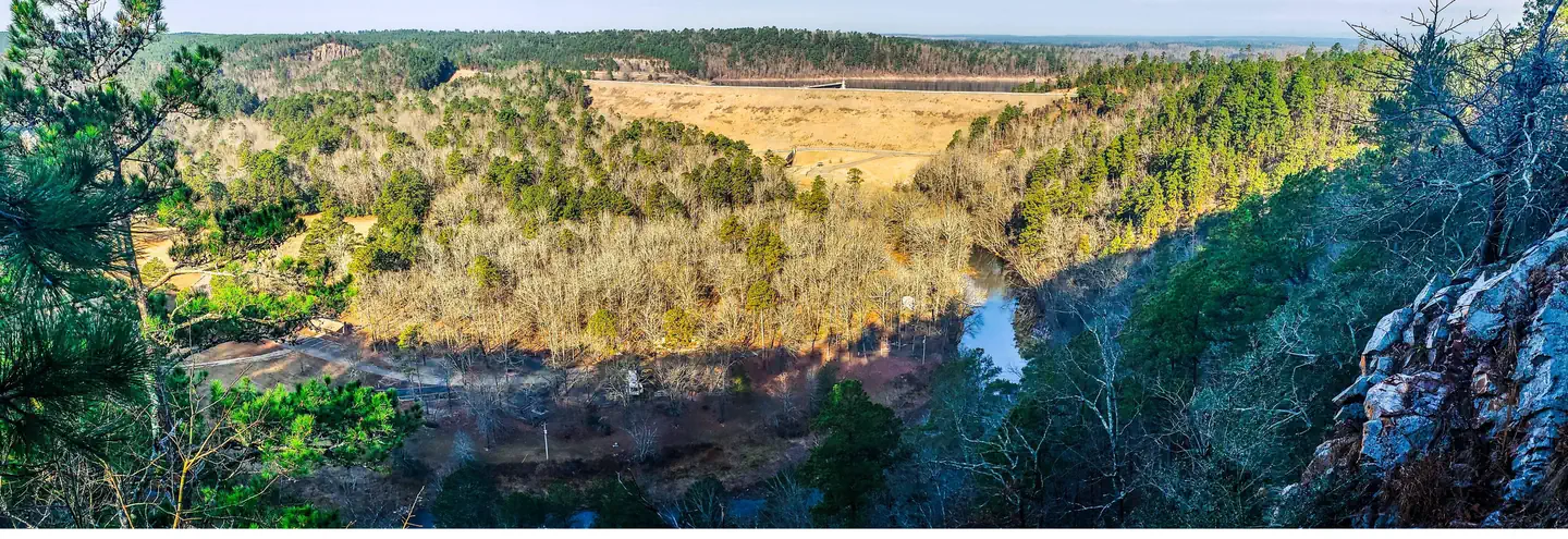
Site mix
| Standard with electric | 12 |
| group shelter electric | 1 |
Site guide
13 sites. Tap a filter to narrow the list; the map follows.
| Site | Type | Surface | Shade | Power | Water / sewer | Waterfront | People / vehicles | Fires | Rating |
|---|---|---|---|---|---|---|---|---|---|
| Site 1 | Electric | Gravel | Partial | 50 amp | Yes / – | Riverfront | 10 / 3 | Yes | Standard |
| Site 2 | Electric | Gravel | Partial | 50 amp | Yes / – | Riverfront | 10 / 3 | Yes | Standard |
| Site 3 | Electric | Gravel | Partial | 50 amp | Yes / – | Riverfront | 10 / 3 | Yes | Standard |
| Site 4 | Electric | Gravel | Partial | 50 amp | Yes / – | Riverfront | 10 / 3 | Yes | Standard |
| Site 5 | Electric | Gravel | Partial | 50 amp | Yes / – | Riverfront | 10 / 3 | Yes | Standard |
| Site 6 | Electric | Gravel | Partial | 50 amp | Yes / – | Riverfront | 10 / 3 | Yes | Standard |
| Site 7 | Electric | Gravel | Partial | 50 amp | Yes / – | Riverfront | 10 / 3 | Yes | Standard |
| Site 8 | Electric | Gravel | Partial | 50 amp | Yes / – | Riverfront | 10 / 3 | Yes | Standard |
| Site 9 | Electric | Gravel | Partial | 50 amp | Yes / – | Riverfront | 10 / 3 | Yes | Standard |
| Site 10 | Electric | Gravel | Partial | 50 amp | Yes / – | Riverfront | 10 / 3 | Yes | Standard |
Per-site records as published by the managing agency on Recreation.gov. Blank cells mean the agency listed nothing for that site. Check-in 05:00 PM, checkout 03:00 PM.
Amenities & rules
| Hookups | Electric, water |
| Max vehicle length | 45 ft |
| Campfires | Allowed, subject to restrictions |
12 Campsites (Overnight) 1 Pavillion (Day Use) 2 Restrooms 1 Shower Facility Playground
Individual sites vary. Confirm on Recreation.gov or with the managing office.
Weather by month
Getting there
From Dierks, travel toward DeQueen on Hwy 70 for approximately 3 miles. At the brown U.S. Army Corps of Engineers sign, turn right on Dierks Lake road and travel approximately 5 miles. Horseshoe Bend Campground Road is the last road located on the left, before crossing Dierks Lake Dam.
| Nearest town | Dierks, Arkansas |
| Coordinates | 34.1476° N, 94.0876° W · Directions ↗ |
Fire nearby
- WildfireSouth White Wolf
35 mi from the campground · 128 acres · 75% contained
Distance is to the reported incident point, not the fire edge. Call the managing office before you drive.
Supplies & services
| Dump station | Dump station ↗ | 15.4 mi |
| RV sales & service | RV sales & service ↗ | 43 mi |
| Outdoor gear | Premier Outdoor Equipment ↗ | 47.3 mi |
Locations © OpenStreetMap contributors. Call ahead; hours change seasonally.
Explore
Video
Horseshoe Bend Campground. An In Depth Tour
Worth a stop
A day trip to Crater of Diamonds State Park in Murfreesboro, Arkansas, just 30 miles from the park, is a popular activity. The diamond mine is the only one of its kind in the country, where visitors get to keep any diamonds and semi-precious stones they unearth, regardless of value. Hot Springs National Park known for its naturally headed springs ust an hours drive away offers a multiple bathouses, resturants, and activies. Choctaw nation located just an hour away at Brokenbow offers world class gaming casino as well a variet of natural features and resturants
- 9.2 mi
- 9.7 mi
Public land it sits in
Ouachita National Forest begins about 0.9 miles away, and it is the closest of these.
- 0.9 miOuachita National Forest ↗National Forest · Forest Service · 2,724,422 acres
- 14.9 miCaney Creek Wilderness ↗Wilderness · Forest Service · 14,262 acres
Each unit is published as a centre point and an acreage rather than a boundary, so this section stands it in for a circle of the same area. Whether a campground is inside, and how far it is from one it is outside, are both approximate.
Other campgrounds nearby

On the National Register nearby
- Hale Creek BridgeStructure · Red Wing · 7.3 mi
- Ebenezer CampgroundSite · Center Point · 9.4 mi
- King SchoolhouseBuilding · King · 12.1 mi
Natural features
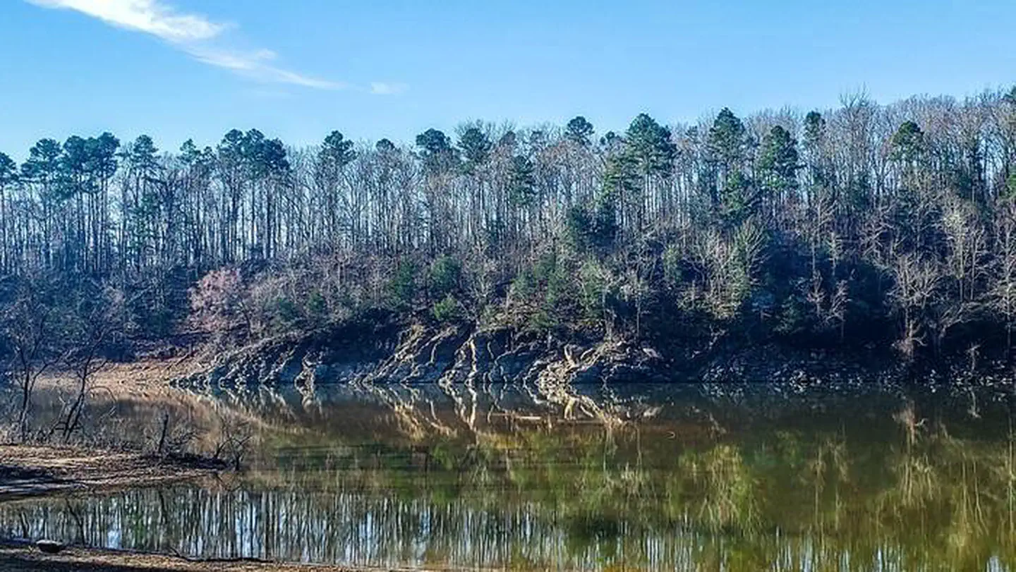
Dierks Lake is in the Ouachitas region of Arkansas and sits on the Saline River. Horseshoe bend sets at the base of a 300 foot verticle cliff offering scenic views along the steep wooded areas
Recreation
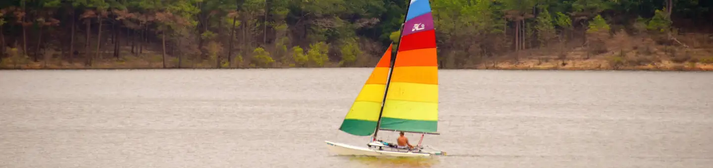
Camping Day use Playground Shelter Paddling
Guidebooks for Arkansas
We earn a small commission if you buy through these links. It does not change what we list.
Titles come from Open Library's catalog, matched by subject heading or by title.
Reference
Questions people ask
Do I need a reservation at Horseshoe Bend?
Sites at Horseshoe Bend are reservable on Recreation.gov. Any walk-up sites are listed on the booking page.
Source: Recreation.gov
What time is check-in at Horseshoe Bend?
Check-in 05:00 PM, checkout 03:00 PM.
Source: Recreation.gov
How many sites does Horseshoe Bend have?
13 sites, including 12 standard sites with power and 1 group shelter electric.
Source: Recreation.gov
Will my RV fit at Horseshoe Bend?
The longest site here provides 45 feet of vehicle capacity. Most sites are shorter. The sidebar tool checks a trailer or motorhome length against every site.
Source: Will my RV fit
Does Horseshoe Bend have hookups?
Yes, electric and water hookups at some sites.
Source: Recreation.gov
Can I have a campfire at Horseshoe Bend?
Fires are allowed in the provided rings under normal conditions. As of 2026-10-16, there is 1 active fire within 50 miles, so check current restrictions before you light one.
Source: Fire nearby
Is there cell service at Horseshoe Bend?
FCC coverage maps show Verizon 4G LTE and AT&T 4G LTE at the campground point. Terrain changes that from one site to the next.
Source: FCC Broadband Map
What is the nearest town to Horseshoe Bend?
Dierks, Arkansas. A day trip to Crater of Diamonds State Park in Murfreesboro, Arkansas, just 30 miles from the park, is a popular activity.
Source: Getting there
What if Horseshoe Bend is full?
The nearest public campgrounds are Jefferson Ridge (2.2 mi), Blue Ridge Park (3.2 mi), and Cossatot Reefs (9.2 mi).
Source: Campgrounds nearby