Cossatot Reefs
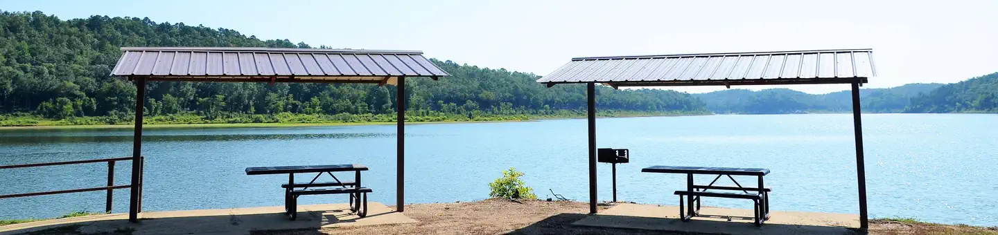
Cossatot Reefs Campground sits along the lush banks of Gillham Lake in southwest Arkansas. Nicknamed the "Bright Spot on the Cossatot," Gillham Lake is a recreational oasis for outdoor enthusiasts.
More like this: electric hookups in Arkansas · reservable in Arkansas · big rigs in Arkansas · group sites in Arkansas
Check availability on Recreation.gov ↗

Site mix
| Standard with electric | 28 |
| Walk-in | 2 |
| group shelter electric | 1 |
Site guide
31 sites. Tap a filter to narrow the list; the map follows.
| Site | Type | Entry | Surface | Shade | Power | Water / sewer | Waterfront | People / vehicles | Accessible |
|---|---|---|---|---|---|---|---|---|---|
| 01 | Electric | Back-in | Paved | Full | 50 amp | Yes / – | 8 / 2 | ||
| 02 | Electric | Back-in | Paved | Full | 50 amp | Yes / – | 8 / 2 | ||
| 03 | Electric | Back-in | Paved | Partial | 50 amp | Yes / – | 8 / 2 | ||
| 04 | Electric | Back-in | Paved | Full | 50 amp | Yes / – | 8 / 2 | ||
| 05 | Electric | Back-in | Paved | Full | 50 amp | Yes / – | 8 / 2 | ||
| 06 | Electric | Back-in | Paved | Full | 50 amp | Yes / – | 8 / 2 | ||
| 07 | Electric | Back-in | Paved | Full | 50 amp | Yes / – | 8 / 2 | ||
| 08 | Electric | Back-in | Paved | Full | 50 amp | Yes / – | 8 / 2 | ||
| 09 | Electric | Back-in | Paved | Full | 50 amp | Yes / – | 8 / 2 | ||
| 10 | Electric | Back-in | Paved | Full | 50 amp | Yes / – | 8 / 2 |
Per-site records as published by the managing agency on Recreation.gov. Blank cells mean the agency listed nothing for that site. Check-in 06:00 PM, checkout 05:00 PM.
Amenities & rules
| Hookups | Electric, water |
| Max vehicle length | 68 ft |
| Equipment | RVs & trailers, Tents |
| Accessibility | Site GS1 is listed accessible |
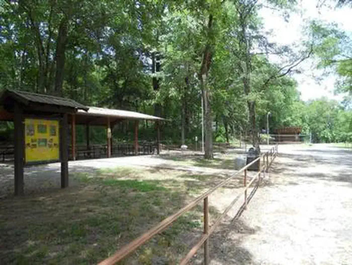
Cossatot Reefs offers 31 shady campsites, including a large group shelter. Hot showers, drinking water and flush toilets help create a comfortable camping experience.
Individual sites vary. Confirm on Recreation.gov or with the managing office.
Weather by month
Getting there
From De Queen, Arkansas, head north on US-59/US-71. Continue for nearly 10 miles and turn Right at Gillham EZ-Mart. Turn right on Tower Road; go 1.3 miles turn left onto Gillham Lake road; go 4.3 miles turn right and follow signs into the campground.
| Nearest town | Gillham, Arkansas |
| Coordinates | 34.2067° N, 94.2313° W · Directions ↗ |
Fire nearby
- WildfireSouth White Wolf
29 mi from the campground · 128 acres · 75% contained
- WildfireLake
50 mi from the campground · 105 acres · 50% contained
Distance is to the reported incident point, not the fire edge. Call the managing office before you drive.
Supplies & services
| Dump station | Dump station ↗ | 15.9 mi |
| RV sales & service | RV sales & service ↗ | 37.7 mi |
Locations © OpenStreetMap contributors. Call ahead; hours change seasonally.
Explore
Video
Cossatot Reefs Campground - Gillham Lake, AR
Worth a stop
- under 0.1 mi
- 0.6 mi
Public land it sits in
This campground sits inside Ouachita National Forest.
- inOuachita National Forest ↗National Forest · Forest Service · 2,724,422 acres
- 13 miCaney Creek Wilderness ↗Wilderness · Forest Service · 14,262 acres
Each unit is published as a centre point and an acreage rather than a boundary, so this section stands it in for a circle of the same area. Whether a campground is inside, and how far it is from one it is outside, are both approximate.
Other campgrounds nearby

On the National Register nearby
- Gillham City JailBuilding · Gillham · 5.4 mi
- Goff and Gamble Merchandise StoreBuilding · Gillham · 5.5 mi
- King SchoolhouseBuilding · King · 5.7 mi
Natural features
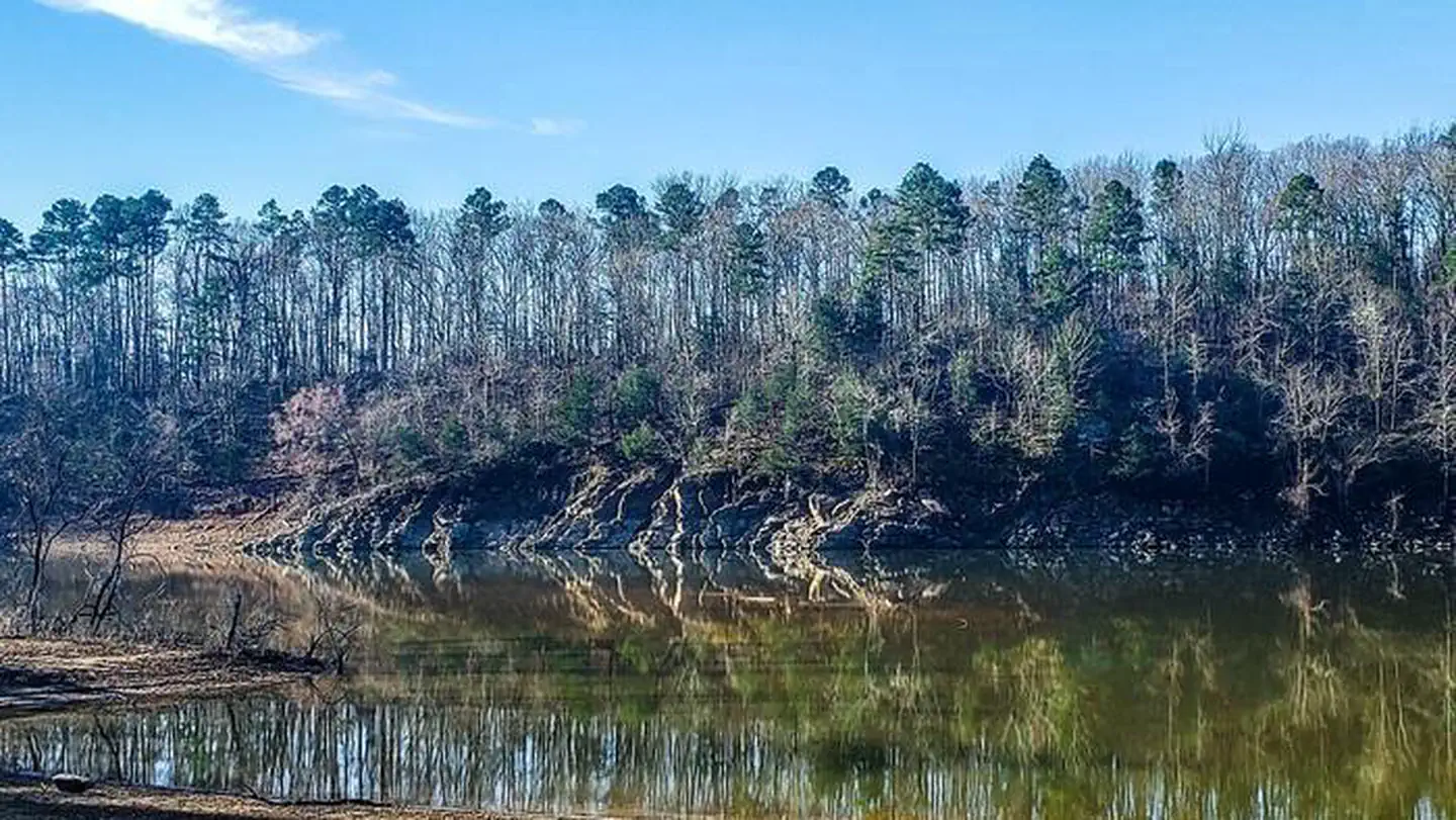
Gillham Lake spans 1,370 surface acres and boasts 36 miles of shoreline. The lake stems from the Cossatot River, designated as a National Wild and Scenic River.
Recreation
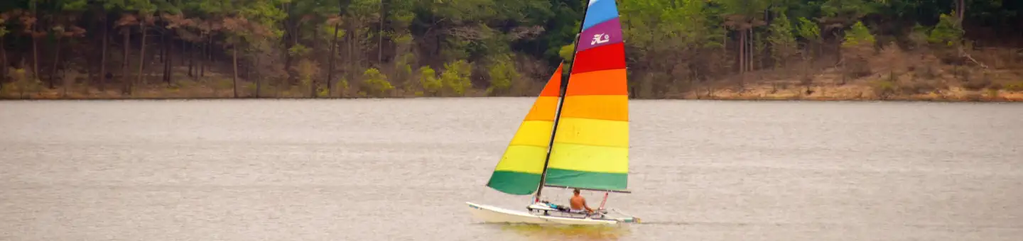
Visitors enjoy the lake for its vast boating opportunities, and a boat ramp is provided for easy water access. The river can be canoed from a point below the dam to U.S. Highway 71 South, a distance of about 16 miles. For shorter canoe trips, there are access roads to the river at Mize Crossing and Ladd Bridge. Anglers will find smallmouth, largemouth, and spotted bass, crappie, channel and flathead catfish and various species of sunfish in the river. A short nature trail within the campground weaves through a quaint wooded section. In spring, the trail is painted with colorful redbud and dogwood blossoms.
Guidebooks for Arkansas
We earn a small commission if you buy through these links. It does not change what we list.
Titles come from Open Library's catalog, matched by subject heading or by title.
Reference
Questions people ask
Do I need a reservation at Cossatot Reefs?
Sites at Cossatot Reefs are reservable on Recreation.gov. Any walk-up sites are listed on the booking page.
Source: Recreation.gov
What time is check-in at Cossatot Reefs?
Check-in 06:00 PM, checkout 05:00 PM.
Source: Recreation.gov
How many sites does Cossatot Reefs have?
31 sites, including 28 standard sites with power, 2 walk-in sites, and 1 group shelter electric.
Source: Recreation.gov
Will my RV fit at Cossatot Reefs?
The longest site here provides 68 feet of vehicle capacity. Most sites are shorter. The sidebar tool checks a trailer or motorhome length against every site.
Source: Will my RV fit
Does Cossatot Reefs have hookups?
Yes, electric and water hookups at some sites.
Source: Recreation.gov
Are there showers or a dump station at Cossatot Reefs?
Hot showers, drinking water and flush toilets help create a comfortable camping experience.
Source: Recreation.gov
Are there accessible sites at Cossatot Reefs?
Site GS1 is listed accessible on Recreation.gov. What that covers (a paved pad, an accessible table, a nearby accessible restroom) is on each site's booking page.
Source: Recreation.gov
What is there to do at Cossatot Reefs?
Visitors enjoy the lake for its vast boating opportunities, and a boat ramp is provided for easy water access. The Recreation section on this page has the rest.
Source: Recreation
What is the nearest town to Cossatot Reefs?
Gillham, Arkansas.
Source: Getting there
What if Cossatot Reefs is full?
The nearest public campgrounds are Big Coon Creek (1.3 mi), Little Coon Creek Park (2 mi), and Jefferson Ridge (7.2 mi).
Source: Campgrounds nearby