Ahart Campground
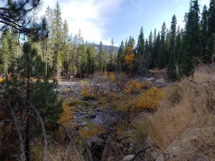
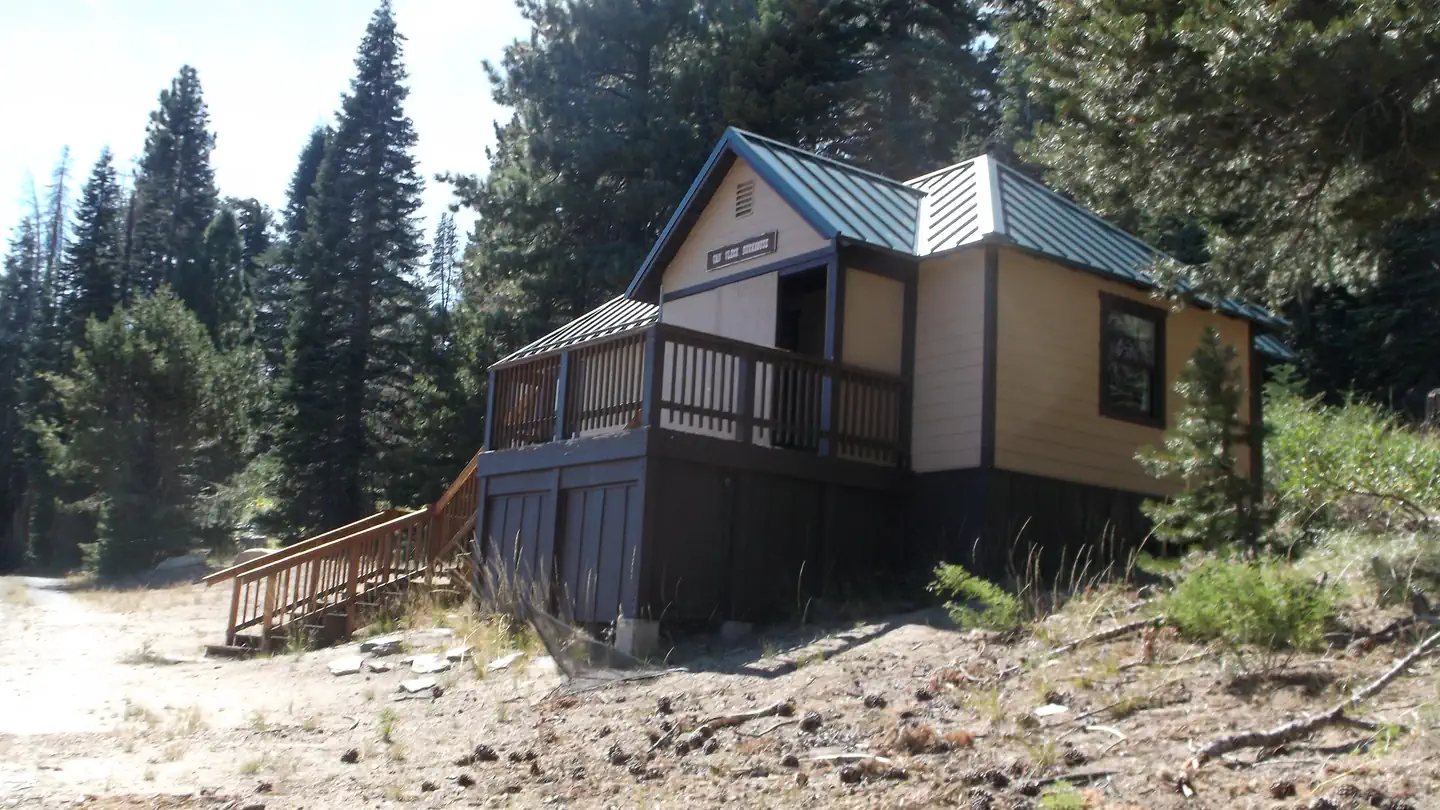
Ahart Campground is located on the tree covered banks of the North Fork of the American River near French Meadows Reservoir, about 40 miles from the town of Foresthill, high in the Sierra mountains. Visitors enjoy the area for the rugged mountain beauty, fishing, boating and trail opportunities. This facility is operated and maintained by the Tahoe National Forest.
More like this: reservable in California · pets allowed in California
Check availability on Recreation.gov ↗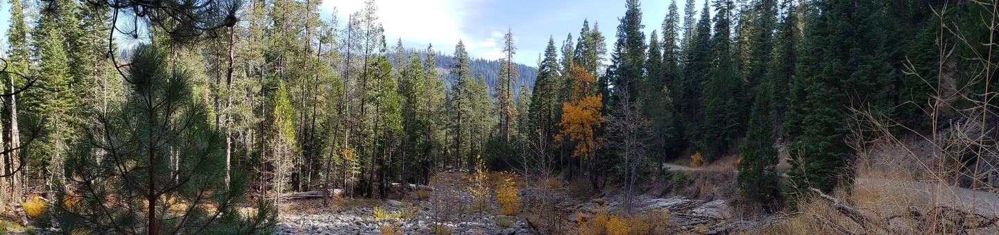
Site mix
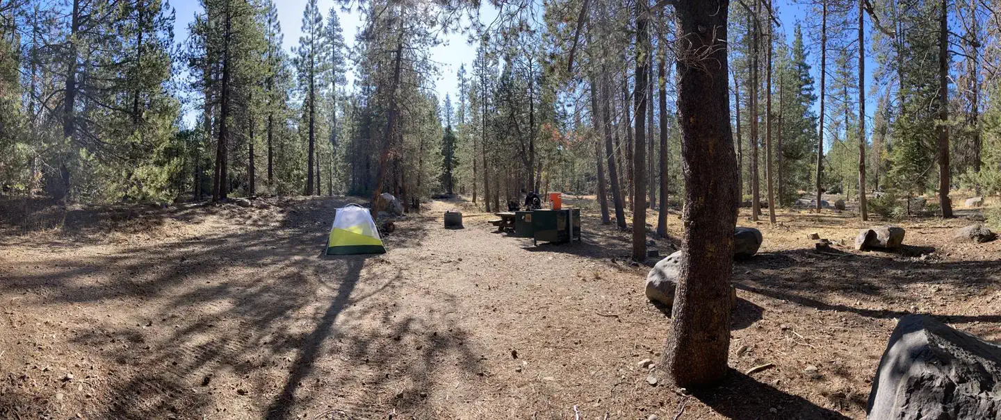
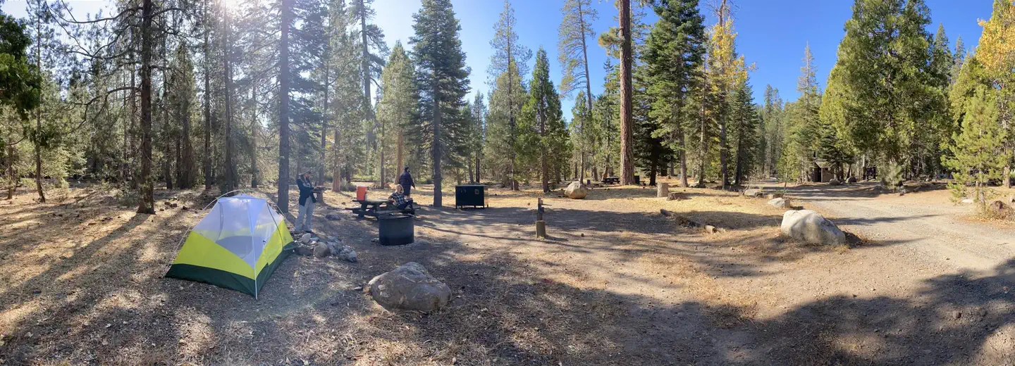
| Standard, no hookups | 11 |
| Host/management | 1 |
Amenities & rules
| Pets | Allowed |
Individual sites vary. Confirm on Recreation.gov or with the managing office.
Season & status
| Season | June to November |
| Forest | Tahoe National Forest |
| Booking | Reservations can me made at www.recreation.gov or by calling 1-877-444-6777 |
| Fees | $20 per site |
| Rules | Firearms or any other implements of destruction(including but not limited to bow & arrow and slingshots) are prohibited in this area; camping outside designated campground is prohibited in this area |
Weather by month
Getting there
High clearance vehicles may take Foresthill Rd to the 43 Rd (Robinson Flat Rd) to Mosquito Ridge Rd, snow permitting. Access from Soda Springs and the 43 Rd is not recommended for trucks with trailers, motorhomes/RV's or passenger vehicles that are not high clearance vehicles with four wheel drive.
| Nearest town | Foresthill, California |
| Coordinates | 39.1460° N, 120.4082° W · Directions ↗ |
Fire nearby
- PrescribedTmu Rx Support
28 mi from the campground
Distance is to the reported incident point, not the fire edge. Call the managing office before you drive.
Supplies & services
| Dump station | Dump station ↗ | 13.4 mi |
| Outdoor gear | Upcycled Adventures ↗ | 13.9 mi |
| RV sales & service | RV sales & service ↗ | 33.9 mi |
Locations © OpenStreetMap contributors. Call ahead; hours change seasonally.
Explore
Video
“Winding Roads Lead Here: Ahart Campground”
Worth a stop
- 1.5 miMcguire Picnic Site ↗Day use
- 1.8 miMcguire Boat Ramp ↗Boat launch
- 2.3 miFrench Meadows Picnic Site ↗Day use
- 2.7 miFrench Meadows Boat Ramp ↗Boat launch
- 14.4 miMckinney/Rubicon Trailhead ↗Trailhead
- 14.4 miMckinney/Rubicon Trailhead ↗Trailhead
Trails nearby
- 2.8 miCampground Water Supply0.07 mi trail · hiking, horse, bike, motorcycle and 1 more
- 3.2 miSoda Springs ↗6.4 mi trail · snowmobile, snowshoe, ski
- 3.2 miMosquito Ridge ↗28.8 mi trail · hiking, horse, bike, motorcycle and 4 more
- 3.8 miDuncan Upstream Gageunder 0.1 mi trail · hiking, horse, bike
- 3.9 miUtility Poleunder 0.1 mi trail · hiking, horse, bike
- 4 miDuncan Creek Dam Southunder 0.1 mi trail · hiking, horse, bike
Trail and trailhead records are the Forest Service's. Distances are straight-line to the nearer trail end. Trail conditions are not tracked here.
Public land it sits in
This campground sits inside Tahoe National Forest.
- inTahoe National Forest ↗National Forest · Forest Service · 1,181,139 acres
- 1.9 miGranite Chief Wilderness ↗Wilderness · Forest Service · 28,374 acres
- 5.2 miEldorado National Forest ↗National Forest · Forest Service · 793,653 acres
Each unit is published as a centre point and an acreage rather than a boundary, so this section stands it in for a circle of the same area. Whether a campground is inside, and how far it is from one it is outside, are both approximate.
Other campgrounds nearby
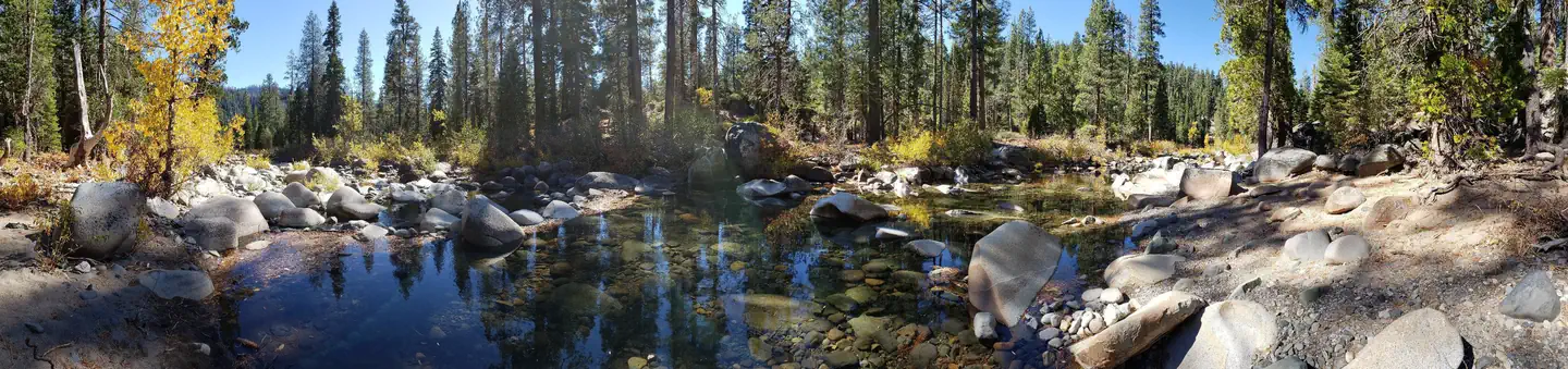

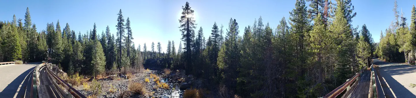

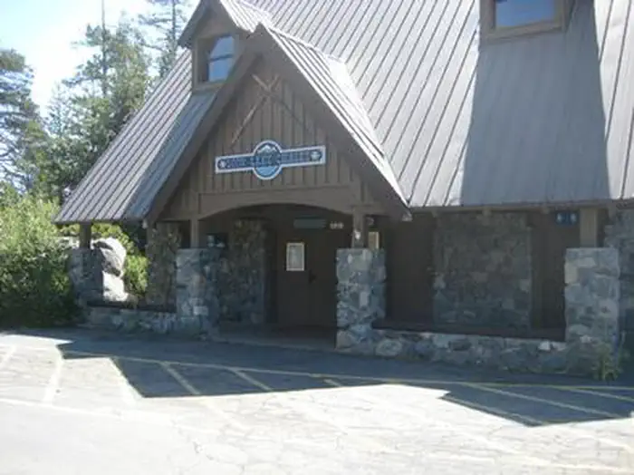
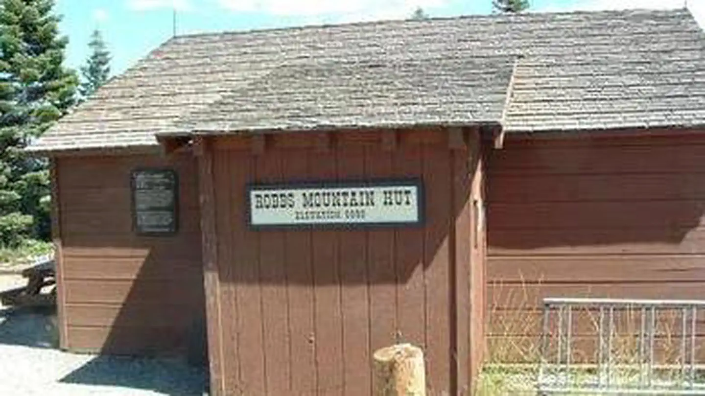
Cabin and lookout rentals nearby
On the National Register nearby
- Laura Russ Westphal HouseBuilding · Homewood · 13.3 mi
- Chapel of the TransfigurationBuilding · Tahoe City · 14 mi
- Lake Tahoe DamStructure · Tahoe City · 14.2 mi
Natural features
The campground is near the north shore of French Meadows Reservoir along the banks of the Middle Fork of the American River while nestled in a Coniferous Forest. Summer days can be warm and pleasant with cool evenings.
Guidebooks for California
We earn a small commission if you buy through these links. It does not change what we list.

Titles come from Open Library's catalog, matched by subject heading or by title.
Reference
Questions people ask
Do I need a reservation at Ahart Campground?
Sites at Ahart Campground are reservable on Recreation.gov. Reservations can me made at www.recreation.gov or by calling 1-877-444-6777 Any walk-up sites are listed on the booking page.
Source: Recreation.gov
How much does it cost to camp at Ahart Campground?
$20 per site
Source: Recreation.gov
What time is check-in at Ahart Campground?
Check-in 2:00 PM, checkout 12:00 PM.
Source: Recreation.gov
How many sites does Ahart Campground have?
12 sites, including 11 standard sites without power.
Source: Recreation.gov
Are pets allowed at Ahart Campground?
Yes, pets are allowed at Ahart Campground. Leash rules apply.
Source: Recreation.gov
What is the nearest town to Ahart Campground?
Foresthill, California.
Source: Getting there
What if Ahart Campground is full?
The nearest public campgrounds are Gates Group (0.3 mi), Coyote Group (0.7 mi), and Lewis (1.1 mi).
Source: Campgrounds nearby