Castle Rock Campground
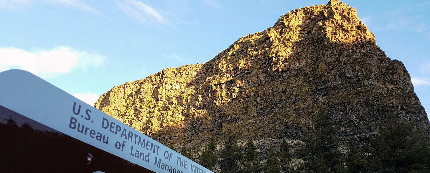
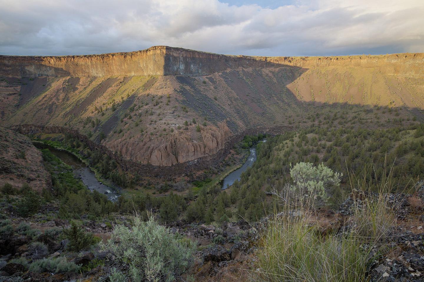
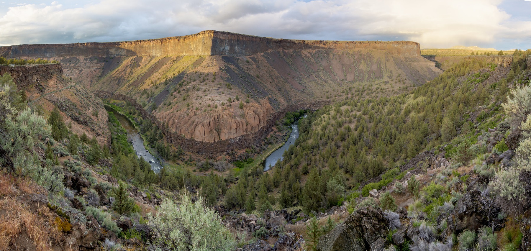
Located south of Prineville, Oregon, this six-site campground offers year-round camping and Crooked River access along the Lower Crooked Back Country Byway. Castle Rock looms above its namesake campground on the Chimney Rock section of the Crooked Wild and Scenic River. An ADA-accessible vault toilet is onsite. Open year-round on a first-come, first-served basis; no potable water available. Watch for bicyclists: the section of State Highway 27 between Prineville and Bowman dam is a state scenic bikeway. Castle Rock Campground is the first in a series of twelve Bureau of Land Management recreation sites along the Crooked Wild and Scenic River, south of Prineville, Oregon.
More like this: first-come in Oregon · accessible sites in Oregon · dark sky in Oregon
Amenities & rules
| Fees | $8 per night; $2 per extra vehicle (tow vehicles excluded) with a maximum of two vehicles allowed per site. |
| Stay limit | 14 Days |
| Dark sky | 5.9 miles from Prineville Reservoir State Park, a certified International Dark Sky Park |
| Accessibility | Vault toilet is accessible |
Individual sites vary. Confirm on Recreation.gov or with the managing office.
Weather by month
Getting there
From Prineville, Oregon: Drive 12.4 miles south on State Highway 27; the campground will be on your right.
| Nearest town | Prineville, Oregon |
| Coordinates | 44.1581° N, 120.8340° W · Directions ↗ |
Good to know
- Cell phone service is not available in the campground.
Fire nearby
- PrescribedJunction Rx
35 mi from the campground
- WildfireBench
41 mi from the campground · 67,071 acres · 90% contained
Distance is to the reported incident point, not the fire edge. Call the managing office before you drive.
Supplies & services
| Dump station | Dump station ↗ | 7.6 mi |
| RV sales & service | RV sales & service ↗ | 10 mi |
| Outdoor gear | Prepper Up ↗ | 10.1 mi |
Locations © OpenStreetMap contributors. Call ahead; hours change seasonally.
Explore
Video
Solo Truck Camping Road Trip: Castle Rock Campground, Utah
Worth a stop
- 5.3 mi
- 5.7 miCorral Off Highway Vehicle Staging Area ↗OHV / range
- 10.1 mi
Public land it sits in
Ochoco National Forest begins about 4.2 miles away, and it is the closest of these.
- 4.2 miOchoco National Forest ↗National Forest · Forest Service · 912,775 acres
- 10.1 miOregon Badlands Wilderness ↗Wilderness · Bureau of Land Management · 29,182 acres
- 10.9 miDeschutes National Forest ↗National Forest · Forest Service · 1,870,116 acres
Each unit is published as a centre point and an acreage rather than a boundary, so this section stands it in for a circle of the same area. Whether a campground is inside, and how far it is from one it is outside, are both approximate.
Other campgrounds nearby


On the National Register nearby
- Thomas M. Baldwin HouseBuilding · Prineville · 9.9 mi
- Marion Reed Elliott HouseBuilding · Prineville · 9.9 mi
- Old First National Bank of Prineville, and Foster and Hyde StoreBuilding · Prineville · 10 mi
Guidebooks for Oregon
We earn a small commission if you buy through these links. It does not change what we list.

Titles come from Open Library's catalog, matched by subject heading or by title.
Reference
Questions people ask
Do I need a reservation at Castle Rock Campground?
No. Castle Rock Campground is first-come, first-served. Sites are taken on arrival and paid at the fee station.
Source: How first-come camping works
How much does it cost to camp at Castle Rock Campground?
$8 per night; $2 per extra vehicle (tow vehicles excluded) with a maximum of two vehicles allowed per site.
How many sites does Castle Rock Campground have?
8 sites.
Source: Site mix
How long can I stay at Castle Rock Campground?
14 Days
Are there accessible sites at Castle Rock Campground?
Vault toilet is accessible.
Is Castle Rock Campground good for stargazing?
Prineville Reservoir State Park, a certified International Dark Sky Park, is 5.9 miles away. Skies that dark carry for miles; a moonless night here should show the Milky Way.
Source: DarkSky International
Is there cell service at Castle Rock Campground?
FCC coverage maps show Verizon 4G LTE, AT&T 4G LTE, and T-Mobile 4G LTE at the campground point. Terrain changes that from one site to the next.
Source: FCC Broadband Map
What is the nearest town to Castle Rock Campground?
Prineville, Oregon.
Source: Getting there
What if Castle Rock Campground is full?
The nearest public campgrounds are Stillwater Campground (0.9 mi, first-come), Chimney Rock Campground (1.9 mi, first-come), and Dry Creek Horse Camp (19.9 mi, first-come).
Source: Campgrounds nearby