Icehouse Cove Buoy Camping Area
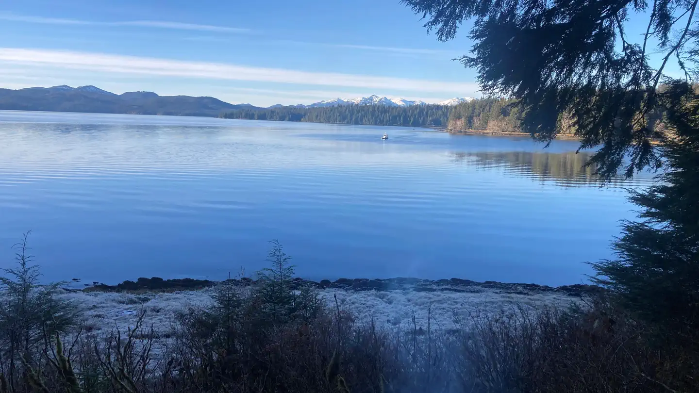
This buoy is available on a first come; first serve basis and is intended for use by small and medium watercraft. The buoy is located in 30-80 feet of water and has a 7/8 inch chain. Look for a white buoy with blue reflective tape. This buoy provides access to the Black Mountain trail.
More like this: first-come in Alaska · tent only in Alaska

Amenities & rules
| Equipment | Tents |
Individual sites vary. Confirm on Recreation.gov or with the managing office.
Season & status
| Status | Open |
| Forest | Tongass National Forest |
Weather by month
Getting there
| Coordinates | 55.2984° N, 131.4700° W · Directions ↗ |
No site-by-site records, no fee schedule, no directions or photos in the Recreation.gov record. What is here comes from the agency's own listing. The rest lives there.
Checked nightly. Modules appear as soon as the record fills in.
Explore
Worth a stop
- 7.4 miKetchikan Alaska Public Lands Information Center ↗Visitor center
Trails nearby
- 0.1 miBlack Mountain1.3 mi trail · hiking, horse, bike
- 0.7 miBlack Mountain Hidden Lake Spu0.7 mi trail · hiking, horse, bike
Trail and trailhead records are the Forest Service's. Distances are straight-line to the nearer trail end. Trail conditions are not tracked here.
Public land it sits in
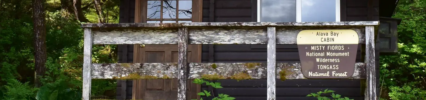
Misty Fjords National Monument Wilderness begins about 13.1 miles away, and it is the closest of these.
- 13.1 miMisty Fjords National Monument Wilderness ↗Wilderness · Forest Service · 2,144,010 acres
Each unit is published as a centre point and an acreage rather than a boundary, so this section stands it in for a circle of the same area. Whether a campground is inside, and how far it is from one it is outside, are both approximate.
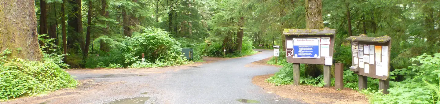
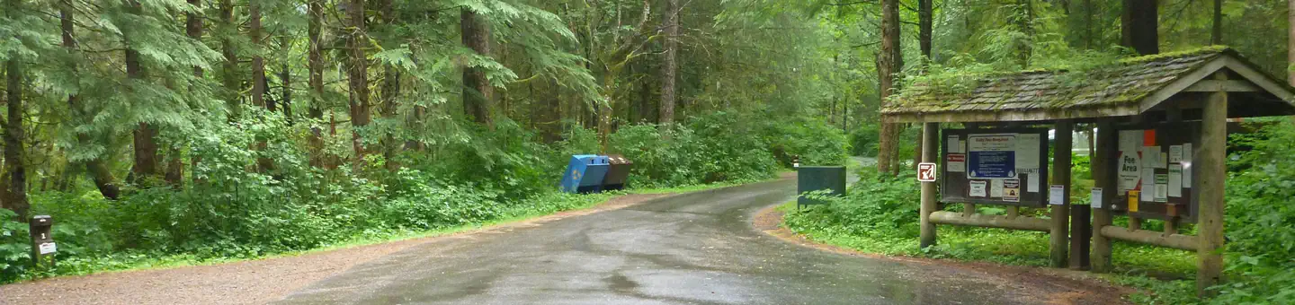
Other campgrounds nearby

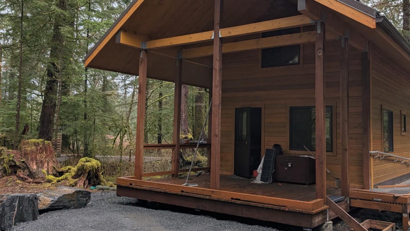
Cabin and lookout rentals nearby
On the National Register nearby
- Chief Kashakes HouseBuilding · Saxman · 5.2 mi
- Saxman Totem ParkHistoric district · Saxman · 5.2 mi
- Alaska TotemsSite · Ketchikan · 7.1 mi
Guidebooks for Alaska
We earn a small commission if you buy through these links. It does not change what we list.
Titles come from Open Library's catalog, matched by subject heading or by title.
Reference
Questions people ask
Is Icehouse Cove Buoy Camping Area open right now?
Open as of Oct 16, 2026.
Source: Forest Service status
Can I bring an RV to Icehouse Cove Buoy Camping Area?
Icehouse Cove Buoy Camping Area is listed for tents only.
Source: Forest Service
What if Icehouse Cove Buoy Camping Area is full?
The nearest public campgrounds are Three C's Group Use Campground (11.8 mi), Signal Creek Campground (11.8 mi), and Last Chance Campground (12.6 mi).
Source: Campgrounds nearby