Cranberry River Campsites
Fourteen primitive and separately numbered campsites dispersed along a 5-mile section of the lower Cranberry River. Toilets closed as of November 30. Campsites are number 6-19 along the Cranberry River between Big Rock Campground and Cranberry Campground on Forest Road 76. Double sites available at sites 7 and 12.
More like this: reservable in West Virginia · tent only in West Virginia · pets allowed in West Virginia
Check availability on Recreation.gov ↗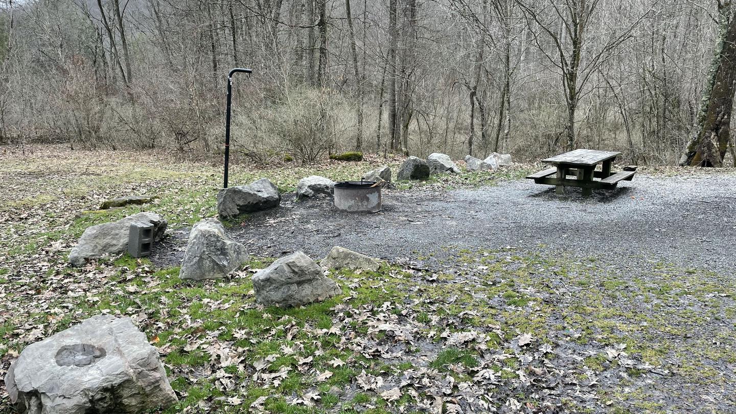
Site mix
| Standard, no hookups | 14 |
Site guide
14 sites
Will my RV fit here? The longest site provides 99 feet of vehicle capacity. Most sites are shorter. Enter your vehicle and trailer lengths and this list splits into the sites that clear them. The figures stay in your browser.
| Site | Entry | Fits, ft |
|---|---|---|
| 6 | Back-in | 70 |
| Gravel · Partial shade · Riverfront · 8 people, 2 vehicles · Fires ok · Standard | ||
| 7 | Back-in | 75 |
| Gravel · Partial shade · Riverfront · 16 people, 4 vehicles · Fires ok · Standard | ||
| 8 | Back-in | 63 |
| Gravel · Partial shade · Riverfront · 8 people, 2 vehicles · Fires ok · Standard | ||
| 9 | Back-in | 39 |
| Gravel · Partial shade · Riverfront · 16 people, 4 vehicles · Fires ok · Standard | ||
| 10 | Back-in | 56 |
| Gravel · Partial shade · Riverfront · 8 people, 2 vehicles · Fires ok · Standard | ||
| 11 | 24 | |
| Gravel · Partial shade · 8 people, 2 vehicles · Fires ok · Standard | ||
| 12 | Back-in | 65 |
| Gravel · Partial shade · Riverfront · 16 people, 4 vehicles · Fires ok · Standard | ||
| 13 | Back-in | 45 |
| Gravel · Partial shade · Riverfront · 8 people, 2 vehicles · Fires ok · Standard | ||
| 14 | Back-in | 46 |
| Gravel · Partial shade · Riverfront · 8 people, 2 vehicles · Fires ok · Standard | ||
| 15 | Back-in | 99 |
| Gravel · Partial shade · Riverfront · 8 people, 2 vehicles · Fires ok · Standard | ||
Per-site records as published by the managing agency on Recreation.gov. Blank cells mean the agency listed nothing for that site. Check-in 04:00 PM, checkout 02:00 PM.
Amenities & rules
| Equipment | Tents |
| Pets | Allowed |
| Campfires | Allowed, subject to restrictions |
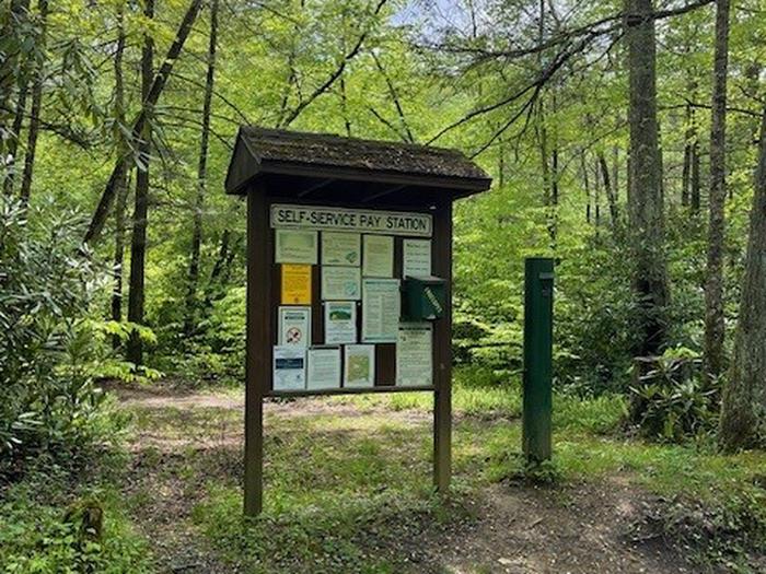
| Fees | $10 single campsites; $20 double campsites |
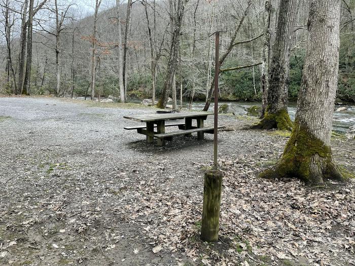
Each campsite has a picnic table, fire ring, and lantern post. Vault toilets are spaced along the river corridor.
Individual sites vary. Confirm on Recreation.gov or with the managing office.
Season & status
| Status | Open |
| Forest | Monongahela National Forest |
| Rules | Maximum length of stay is 14 days. Check-out time is 2:00 p.m. Dogs are permitted if on a leash at all times. Leash must be 6 ft. or shorter. Food storage order applies to pet food also. Single site limit is one wheeled camping unit only, defined as motorhome or travel trailer; no more than 8 people; no more than 2 vehicles. |
Weather by month
Getting there
From Richwood travel one mile east on State Route 39/55, then 6 1/2 miles north on Forest Road 76. Campsites are numbered 6-19 and dispersed along Forest Road 76.
| Nearest town | Marlinton, West Virginia |
| Coordinates | 38.2955° N, 80.5161° W · Directions ↗ |
Supplies & services
| Outdoor gear | Appalachian Sport ↗ | 23.3 mi |
| Dump station | Dump station ↗ | 25.9 mi |
Locations © OpenStreetMap contributors. Call ahead; hours change seasonally.
Explore
Video
360° Campsite Views - Cranberry Campground - Monongahela National Forest - $10 Camping…
Trails nearby
- 1.1 miBarrenshe Trail ↗4.5 mi trail · hiking, horse, bike
- 1.8 miHinkle Branch Trail1.2 mi trail · hiking, horse, bike
- 2.2 miCranberry Ridge Trail ↗5.9 mi trail · hiking, horse, bike
- 2.7 miBishop Knob Loop Trail2.2 mi trail · hiking, horse, bike
- 2.9 miFork Mountain Trail ↗21.4 mi trail · hiking, horse, bike
- 3.3 miAdkins Rockhouse Trail2.2 mi trail · hiking, horse, bike
Trail and trailhead records are the Forest Service's. Distances are straight-line to the nearer trail end. Trail conditions are not tracked here.
Public land it sits in
George Washington and Jefferson National Forest begins about 2.6 miles away, and it is the closest of these.
- 2.6 miGeorge Washington and Jefferson National Forest ↗National Forest · Forest Service · 3,487,961 acres
- 6.1 miCranberry Wilderness ↗Wilderness · Forest Service · 47,742 acres
- 9.1 miMonongahela National Forest ↗National Forest · Forest Service · 1,703,725 acres
Each unit is published as a centre point and an acreage rather than a boundary, so this section stands it in for a circle of the same area. Whether a campground is inside, and how far it is from one it is outside, are both approximate.
Other campgrounds nearby


On the National Register nearby
- Downtown Richwood Historic DistrictHistoric district · Richwood · 5 mi
- Camp CaesarHistoric district · Cowen · 8.1 mi
- Beaver MillBuilding · Craigsville · 8.4 mi
Natural features
Campsites are located adjacent to the Cranberry River.
Recreation
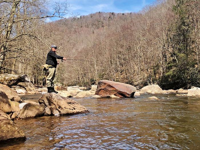
Fishing in the Cranberry RIver, hiking in Cranberry Wilderness.
Nearby
Cranberry RIver and Cranberry Wilderness.
Reference
Questions people ask
Do I need a reservation at Cranberry River Campsites?
Sites at Cranberry River Campsites are reservable on Recreation.gov. Any walk-up sites are listed on the booking page.
Source: Recreation.gov
How much does it cost to camp at Cranberry River Campsites?
$10 single campsites; $20 double campsites
Source: Recreation.gov
What time is check-in at Cranberry River Campsites?
Check-in 04:00 PM, checkout 02:00 PM.
Source: Recreation.gov
Is Cranberry River Campsites open right now?
Open as of Nov 17, 2026.
Source: Forest Service status
How many sites does Cranberry River Campsites have?
14 sites, including 14 standard sites without power.
Source: Recreation.gov
Can I bring an RV to Cranberry River Campsites?
Cranberry River Campsites is listed for tents only.
Source: Recreation.gov
Are pets allowed at Cranberry River Campsites?
Yes, pets are allowed at Cranberry River Campsites. Leash rules apply.
Source: Recreation.gov
Can I have a campfire at Cranberry River Campsites?
Fires are allowed in the provided rings under normal conditions. Maximum length of stay is 14 days.
Source: Recreation.gov
What is the nearest town to Cranberry River Campsites?
Marlinton, West Virginia. Cranberry RIver and Cranberry Wilderness.
Source: Getting there
What if Cranberry River Campsites is full?
The nearest public campgrounds are Big Rock (0.4 mi), Bishop Knob (3.3 mi), and Cranberry Campground (4.5 mi).
Source: Campgrounds nearby