Mount Heyburn Campground
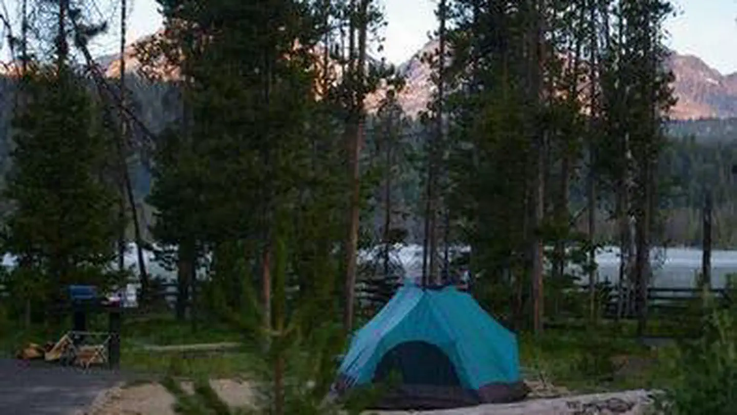
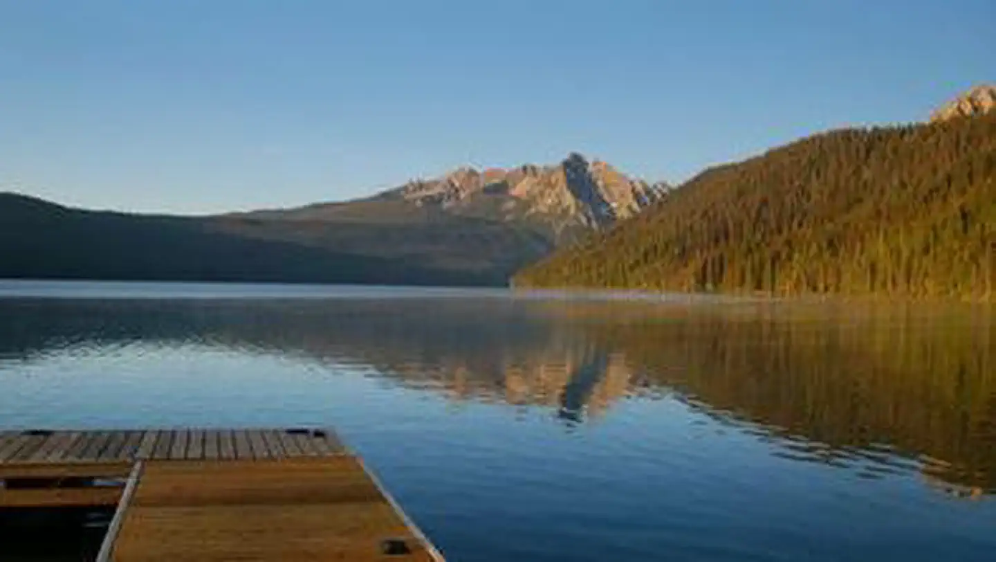
Mt. Heyburn Campground is composed of 19 campsites on the east side of Redfish Lake and all sites are first-come, first-serve. The campground is situated in a lodgepole pine forest. The Visitor Center offers area information and interpretive programs. There is a boat ramp at Sandy Beach boat launch, on the eastern shore of the lake. Take a short tour on the interpretive Fishhook Nature Trail or a longer walk west into the beautiful Sawtooth Wilderness to battle wild cutthroat in the alpine lakes. A section of the Idaho Centennial Trail passes near the area. Equestrian stables, a dump station, and boat rentals can be found at Redfish Lake Lodge.
Sites are first-come, first-served. Recreation.gov lists this campground for paying on site, and you may be able to pay with the Scan and Pay feature of its app.
More like this: first-come in Idaho · tent only in Idaho

Site map
14 campsite locations mapped by OpenStreetMap contributors. The site numbers are theirs and may not match the posts at the campground. Map data © OpenStreetMap contributors, ODbL.
Amenities & rules
| Equipment | Tents |
| Fees | Sawtooth NRA Camping Fees and Information |
Individual sites vary. Confirm on Recreation.gov or with the managing office.
Season & status
| Status | Open |
| Season | May to September |
| Forest | Sawtooth National Forest |
| Fees | Sawtooth NRA Camping Fees and Information |
| Rules | Please keep pets on a leash. All occupancy (includes developed/dispersed camping, boats, boat trailers, travel trailers, tents, etc): Occupancy limit is 10 days in a 30 day period within a 30 mile radius for all of SNRA. You must occupy the campsite the first night and campsites cannot be left unattended for more than 24 hours. |
Weather by month
Getting there
| Coordinates | 44.1354° N, 114.9145° W · Directions ↗ |
Fire nearby
- PrescribedNorth Zone Piles Rx 2026
14 mi from the campground · 9 acres
- PrescribedRx D3 Piles
49 mi from the campground · 57 acres
Distance is to the reported incident point, not the fire edge. Call the managing office before you drive.
Explore
Video
A Photographic Tour of the Facilities at Heyburn State Park Not Including the Main Campgrounds
Worth a stop
- 0.1 miSandy Beach Boat Ramp - Day Use Location ↗Boat launch
- 0.6 miOrval Hansen Point Beach ↗Swimming
- 2.7 miAlpine Way Trailhead ↗Trailhead
- 2.7 miAlpine Way Trailhead ↗Trailhead
- 10.9 miPettit Lake Day Use Area ↗Day use
Trails nearby
- 0.1 miRedfish Lake3.1 mi trail · snowmobile, snowshoe, ski
- 0.2 miGrand Mogul ↗7.4 mi trail · hiking, horse, bike
- 0.6 miOrion0.1 mi trail · hiking, horse, bike
- 0.7 miFishhook Nature Trail0.3 mi trail · hiking, horse, bike
- 0.9 miFishhook Trail2.5 mi trail · hiking, horse, bike
- 0.9 miBear Trap0.1 mi trail · hiking, horse, bike
Trailheads within three miles
- 0.9 miRedfish Trailhead ↗Sawtooth National Forest
- 2.7 miAlpine Way Trailhead ↗Sawtooth National Forest
Trail and trailhead records are the Forest Service's. Distances are straight-line to the nearer trail end. Trail conditions are not tracked here.
Public land it sits in
This campground sits inside Sawtooth National Forest.
- inSawtooth National Forest ↗National Forest · Forest Service · 2,190,139 acres
- 1 miBoise National Forest ↗National Forest · Forest Service · 2,526,862 acres
- 1.4 miSawtooth Wilderness ↗Wilderness · Forest Service · 217,511 acres
Each unit is published as a centre point and an acreage rather than a boundary, so this section stands it in for a circle of the same area. Whether a campground is inside, and how far it is from one it is outside, are both approximate.
Other campgrounds nearby

Cabin and lookout rentals nearby
On the National Register nearby
- Idaho Rocky Mountain ClubHistoric district · Stanley · 4.3 mi
- Niece Brothers' StoreBuilding · Stanley · 5.7 mi
- Stanley Ranger StationBuilding · Stanley · 6.3 mi
Reference
Questions people ask
Do I need a reservation at Mount Heyburn Campground?
No. Mount Heyburn Campground is first-come, first-served. Sites are taken on arrival and paid at the fee station.
Source: Forest Service
How much does it cost to camp at Mount Heyburn Campground?
Sawtooth NRA Camping Fees and Information
Source: Forest Service
Is Mount Heyburn Campground open right now?
Open as of Nov 17, 2026. Season May to September.
Source: Forest Service status
How many sites does Mount Heyburn Campground have?
19 sites.
Source: Forest Service
Can I bring an RV to Mount Heyburn Campground?
Mount Heyburn Campground is listed for tents only.
Source: Forest Service
What if Mount Heyburn Campground is full?
The nearest public campgrounds are Sockeye Campground (0.3 mi, first-come), Outlet Campground (0.4 mi), and Glacier View Campground (0.8 mi).
Source: Campgrounds nearby