Ragtown
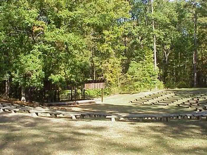
Ragtown is located on the Texas shore of Toledo Bend Reservoir and is maintained and operated by the Sabine River Authority of Texas. Completed in 1975, this area is nestled high on a bluff and offers spectacular views of the water. The boat ramp allows access to the lake most of the year. Visitors can hike along 1-mile long Mother Nature's Trail winding past magnificent oak and beech trees along the lakeshore. For more information call 409-625-1940.
More like this: first-come in Texas · tent only in Texas

Amenities & rules
| Equipment | Tents |
| Fees | CAMPING - $5.00 single campsite, $8.00 double campsite per night. DAY-USE FEE - $2.00 per vehicle, per day. |
Individual sites vary. Confirm on Recreation.gov or with the managing office.
Season & status
| Status | Open |
| Forest | National Forests and Grasslands in Texas |
| Fees | CAMPING - $5.00 single campsite, $8.00 double campsite per night. DAY-USE FEE - $2.00 per vehicle, per day. |
Weather by month
Getting there
| Coordinates | 31.6822° N, 93.8249° W · Directions ↗ |
Supplies & services
| Dump station | Dump station ↗ | 10.5 mi |
Locations © OpenStreetMap contributors. Call ahead; hours change seasonally.
Explore
Worth a stop
- 14.5 miRed Hill Lake Day Use Pass ↗Day use
Public land it sits in
National Forests in Texas begins about 11.4 miles away, and it is the closest of these.
- 11.4 miNational Forests in Texas ↗National Forest · Forest Service · 1,921,500 acres
Each unit is published as a centre point and an acreage rather than a boundary, so this section stands it in for a circle of the same area. Whether a campground is inside, and how far it is from one it is outside, are both approximate.
Other campgrounds nearby
On the National Register nearby
- Kansas City Southern Depot, ZwolleBuilding · Zwolle · 11.3 mi
Guidebooks for Texas
We earn a small commission if you buy through these links. It does not change what we list.
Titles come from Open Library's catalog, matched by subject heading or by title.
Reference
Questions people ask
How much does it cost to camp at Ragtown?
CAMPING - $5.00 single campsite, $8.00 double campsite per night. DAY-USE FEE - $2.00 per vehicle, per day.
Source: Forest Service
Is Ragtown open right now?
Open as of Oct 16, 2026.
Source: Forest Service status
Can I bring an RV to Ragtown?
Ragtown is listed for tents only.
Source: Forest Service
What if Ragtown is full?
The nearest public campgrounds are Boles Field (10.5 mi), Red Hills Lake (14.4 mi, first-come), and Boles Field Campground (16.8 mi, partly first-come).
Source: Campgrounds nearby