Shotgun Creek Recreation Site
The refreshing location with its lush, forest setting, coupled with comforts normally associated with an urban park, blend seamlessly at this popular day-use site. Here, one can immerse in the enjoyment of surrounding hiking trails, a swimming area, meandering creeks, and picnicking units. Whether seeking trail solitude, a fun day of water play during the heat of summer, or the lingering memory of that very special celebration, this special place awaits your arrival. Shotgun Creek Recreation Site is open to day use year round. Shelter reservations are available from May 1-September 30 each year.
More like this: electric hookups in Oregon · reservable in Oregon · pets allowed in Oregon · group sites in Oregon
Check availability on Recreation.gov ↗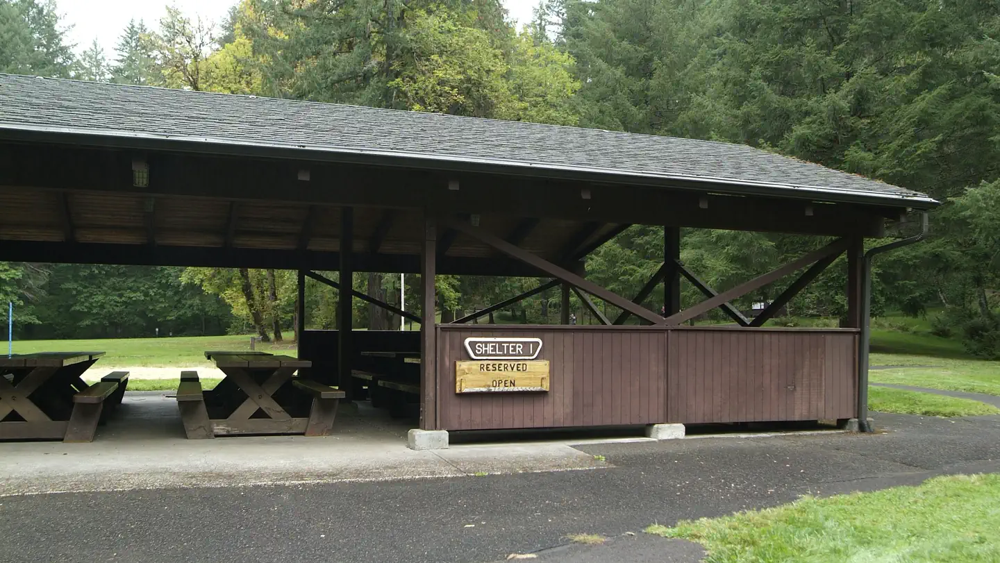
Site mix
| group standard electric | 2 |
Site guide
Will my RV fit
The longest site here provides 20 feet of vehicle capacity. Most sites are shorter.
2 sites. Tap a filter to narrow the list; the map follows.
| Site | Fits, ft | Surface | Shade | Power | People / vehicles | Fires | Accessible | Rating |
|---|---|---|---|---|---|---|---|---|
| Shelter 1 | 20 | Paved | Partial | 20 amp | 300 / 75 | Yes | Yes | Basic |
| Shelter 2 | 20 | Paved | Partial | 20 amp | 300 / 75 | Yes | Yes | Basic |
Per-site records as published by the managing agency on Recreation.gov. Blank cells mean the agency listed nothing for that site. Check-in 09:00 AM, checkout 09:00 PM.
Amenities & rules
| Hookups | Electric |
| Max vehicle length | 20 ft |
| Equipment | RVs & trailers |
| Pets | Allowed |
| Campfires | Allowed, subject to restrictions |
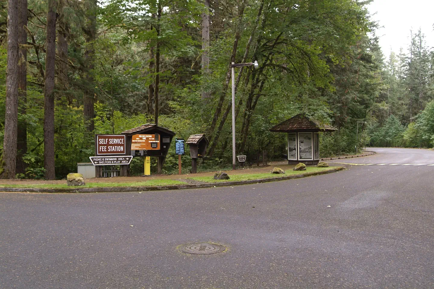
| Fees | Day use fees and on site shelter rentals are available on site at the electronic fee station near the entrance. A $5 daily vehicle fee is not included with shelter reservations and is collected on site. Cash or check made out to Bureau of Land Management is accepted. |
| Accessibility | Sites Shelter 1, Shelter 2 are listed accessible |
- Reserve one or both large group day-use shelters each equipped with fireplace, lights, sinks, potable water, and picnic tables that will accommodate up to 112 people comfortably for events.
- 23 individual picnic sites
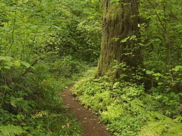
- 6.43 miles of hiking trail
Individual sites vary. Confirm on Recreation.gov or with the managing office.
Weather by month
Getting there
From the North. Take Interstate 5 south, exit 216, OR-228 towards Brownsville/Crawfordsville. Turn right on Bush Creek Road just east of Crawfordsville. Drive 12.4 miles on Bush Creek Road that turns into Marcola Road. Turn right just past the community of Mabel onto Shotgun Creek Road. Follow Shotgun Creek Road approximately 1.5 miles.
| Nearest town | Marcola, Oregon |
| Coordinates | 44.2288° N, 122.8464° W · Directions ↗ |
Charges and cancellations
Standard fees apply and are non-refundable.
Fire nearby
- PrescribedCamas Ts Rx
28 mi from the campground
- PrescribedMarys Peak Rx
40 mi from the campground
Distance is to the reported incident point, not the fire edge. Call the managing office before you drive.
Supplies & services
| RV sales & service | Marathon Coach ↗ | 11.9 mi |
| Dump station | Sweet Home RV Dump ↗ | 13.5 mi |
| Outdoor gear | Cabela's ↗ | 14.6 mi |
Locations © OpenStreetMap contributors. Call ahead; hours change seasonally.
Explore
Public land it sits in
Willamette National Forest begins about 4 miles away, and it is the closest of these.
- 4 miWillamette National Forest ↗National Forest · Forest Service · 1,801,292 acres
Each unit is published as a centre point and an acreage rather than a boundary, so this section stands it in for a circle of the same area. Whether a campground is inside, and how far it is from one it is outside, are both approximate.
Other campgrounds nearby

Historic landmarks nearby

Natural features
The beautiful, well-equipped wooden shelters, available by reservation, offer a fine place to celebrate special events such as weddings, anniversaries or birthday parties.
Recreation
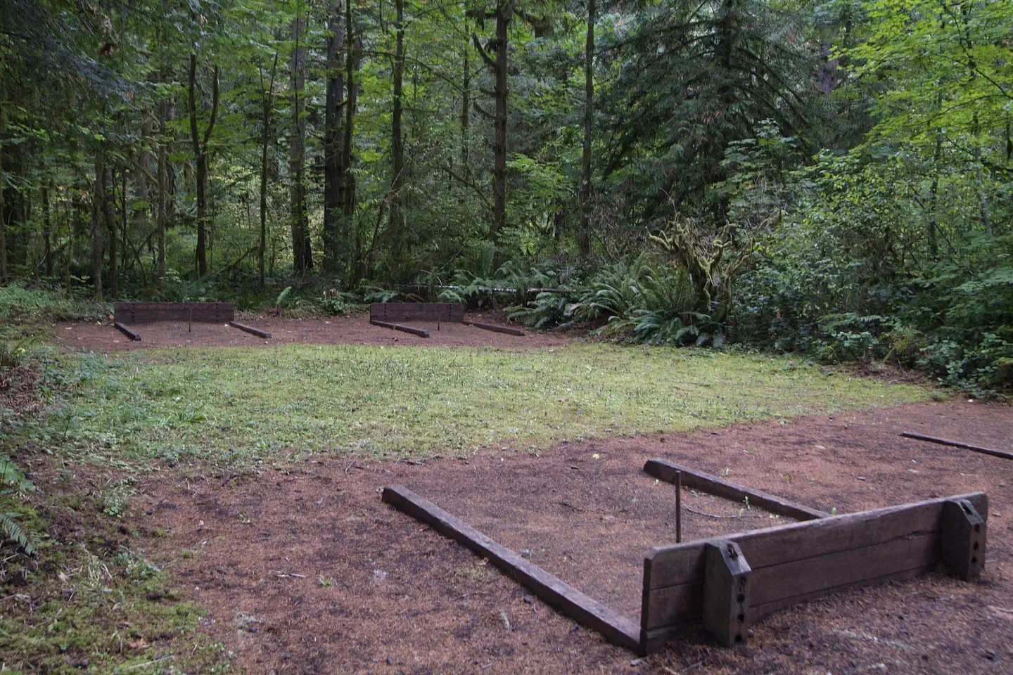
Hiking, picnicking, family gatherings, sand volleyball, softball, playground, horseshoe pits, and seasonal water play.
Nearby
- The 34-mile Shotgun OHV Trail System is located immediately north of the recreation site. Nearby staging facilities offer free amenities such as picnic tables, bathrooms, and trash facilities. Elevations from 758 to 2,864. Current fire restrictions: Fire Closures and Restrictions. Public Fire Restriction lev els can be found on Oregon Department of Forestry's website.
- Earnest Bridge south on Marcola Rd about a mile on the left on Paschelke Rd.
- Springfield Golf Club south on Marcola Rd about 9 miles turn left on Sunderman Rd.
- McGowan Environmental Education Area is located along McGowan Creek Road west of Shotgun Creek Rd.
Guidebooks for Oregon
We earn a small commission if you buy through these links. It does not change what we list.

Titles come from Open Library's catalog, matched by subject heading or by title.
Reference
Questions people ask
Do I need a reservation at Shotgun Creek Recreation Site?
Sites at Shotgun Creek Recreation Site are reservable on Recreation.gov. Any walk-up sites are listed on the booking page.
Source: Recreation.gov
How much does it cost to camp at Shotgun Creek Recreation Site?
Day use fees and on site shelter rentals are available on site at the electronic fee station near the entrance. A $5 daily vehicle fee is not included with shelter reservations and is collected on site. Cash or check made out to Bureau of Land Management is accepted.
Source: Recreation.gov
What time is check-in at Shotgun Creek Recreation Site?
Check-in 09:00 AM, checkout 09:00 PM.
Source: Recreation.gov
How many sites does Shotgun Creek Recreation Site have?
2 sites, including 2 group standard electric.
Source: Recreation.gov
Will my RV fit at Shotgun Creek Recreation Site?
The longest site here provides 20 feet of vehicle capacity. Most sites are shorter. The sidebar tool checks a trailer or motorhome length against every site.
Source: Will my RV fit
Does Shotgun Creek Recreation Site have hookups?
Yes, electric hookups at some sites.
Source: Recreation.gov
Are pets allowed at Shotgun Creek Recreation Site?
Yes, pets are allowed at Shotgun Creek Recreation Site. Leash rules apply.
Source: Recreation.gov
Can I have a campfire at Shotgun Creek Recreation Site?
Fires are allowed in the provided rings under normal conditions. As of 2026-10-16, there are 2 active fires within 50 miles, so check current restrictions before you light one.
Source: Fire nearby
Are there accessible sites at Shotgun Creek Recreation Site?
Sites Shelter 1 and Shelter 2 are listed accessible on Recreation.gov. What that covers (a paved pad, an accessible table, a nearby accessible restroom) is on each site's booking page.
Source: Recreation.gov
What is the nearest town to Shotgun Creek Recreation Site?
Marcola, Oregon. The 34-mile Shotgun OHV Trail System is located immediately north of the recreation site. Nearby staging facilities offer free amenities such as picnic tables, bathrooms, and trash facilities. Elevations from 758 to 2,864. Current fire restrictions: Fire Closures and Restrictions. P
Source: Getting there
What if Shotgun Creek Recreation Site is full?
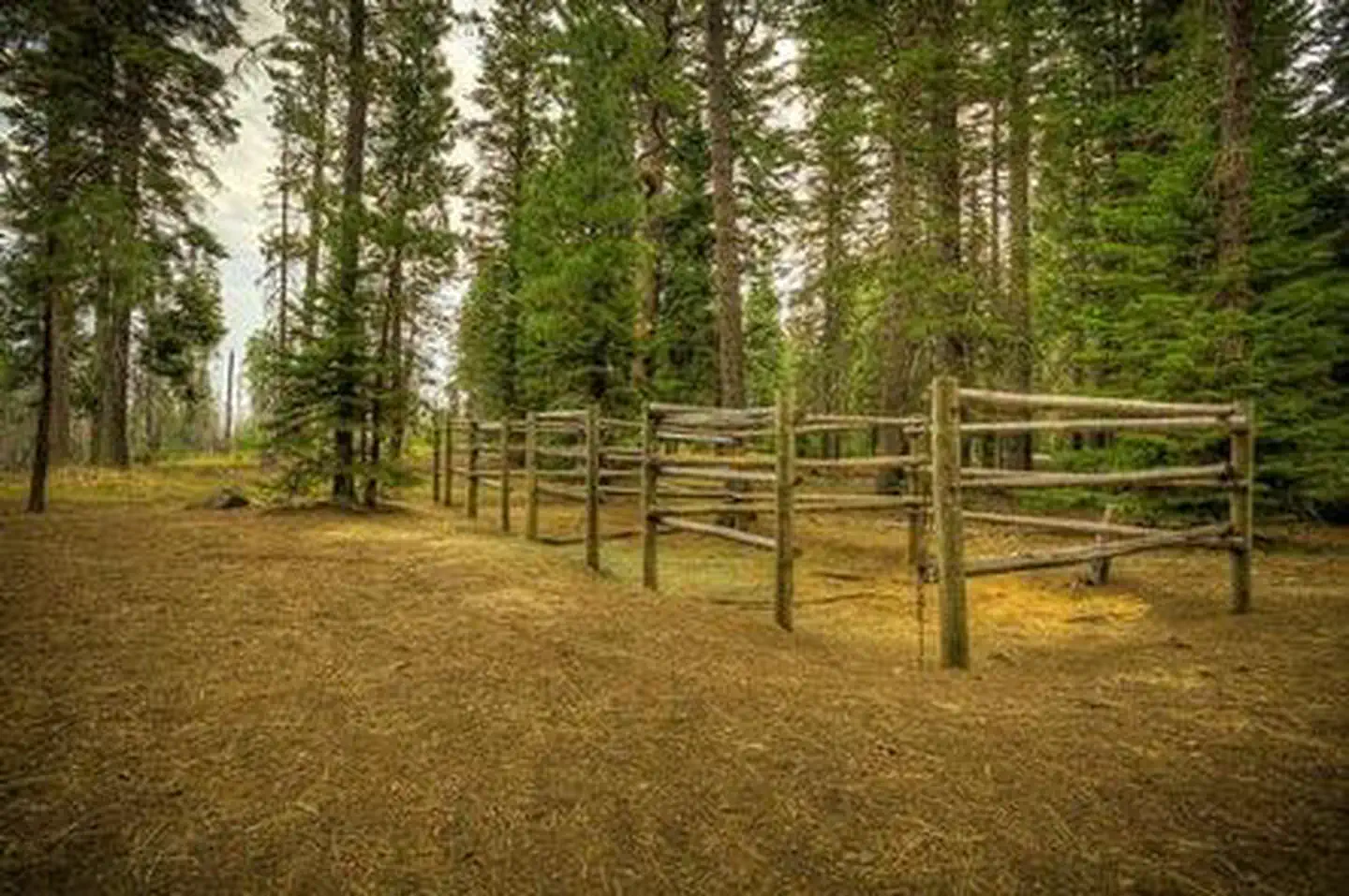
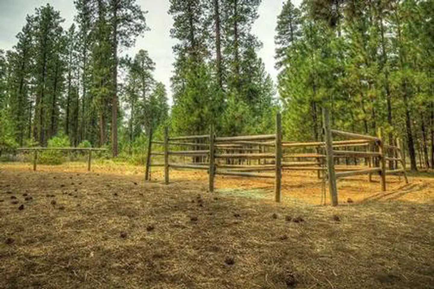
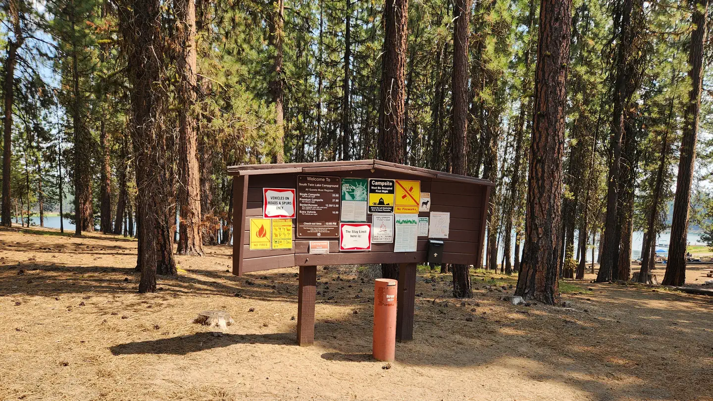
The nearest public campgrounds are Whispering Pines Horse Camp (12.6 mi), Graham Corral Horse Campground (12.6 mi), and South Twin Lake Campground (12.6 mi).
Source: Campgrounds nearby