El Caso I-IV Campground
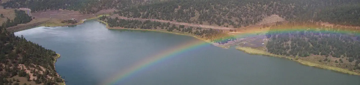
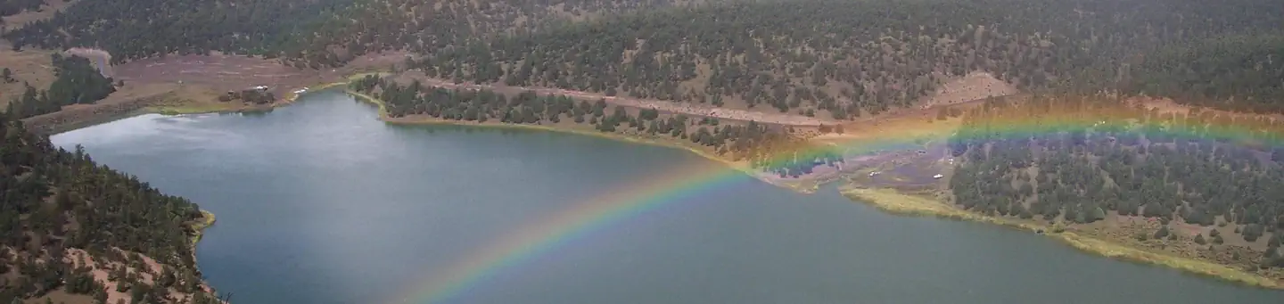
This are partially developed, shady campgrounds within hiking distance of the lake. The El Caso Campgounds are partially developed campgrounds located at the east end of Quemado Lake, approximately.25 miles east of the Piñon CG. They are nestled in a valley stretching alongside an intermittent stream and are surrounded by ponderosa pine and cottonwood trees. The El Caso Campgrounds are popular with hunters, groups, and campers desiring a more primitive camping experience.
More like this: first-come in New Mexico

Season & status
| Status | Open |
| Forest | Gila National Forest |
| Booking | All Gila NF campgrounds have a 14 day stay limit. |
| Fees | There is no fee for these campground ($0.00). |
| Rules | There is a 14 day stay limit in all Gila National Forest campgrounds. This is a pack-it-in/pack-it-out area. Please do not throw trash in the campground. OHV/ATV use is prohibited within the campground. Hunters - please field dress your animal. Do not dump carcasses or gut piles in the campgrounds or any trash receptacles. Animal remains will attract bears, wolves, mountain lions, and coyotes. |
Weather by month
Getting there
Just southwest of Quemado, NM, go south on NM 32 for 14.2 miles to Quemado Lake/NM 103 sign. At the sign go east on NM 103 for 4 miles to where Forest Road 13 (gravel) begins. Continue past the lake. The campground is on the right.
| Coordinates | 34.1380° N, 108.4698° W · Directions ↗ |
Fire nearby
- PrescribedD6 - Luna Rx
41 mi from the campground · 2,156 acres
- PrescribedRanch Supply Rx
46 mi from the campground
Distance is to the reported incident point, not the fire edge. Call the managing office before you drive.
Explore
Worth a stop
- 0.2 miLargo #14 Trailhead ↗Trailhead
- 1.5 miQuemado Lake Boat Launch ↗Boat launch
- 7.6 mi
Trails nearby
- 0.2 miLargo Canyon Trail ↗4.6 mi trail · hiking, horse, bike
- 0.7 miLakeshore Access0.3 mi trail · hiking, horse, bike
- 0.8 miFishing Trail2.8 mi trail · hiking, horse, bike
- 0.9 miPinon - Lake Access0.4 mi trail · hiking, horse, bike
- 1 miJuniper - Lake Access0.1 mi trail · hiking, horse, bike
- 1.1 miCove Access0.07 mi trail · hiking, horse, bike
Trailheads within three miles
- 0.2 miLargo #14 Trailhead ↗Gila National Forest
Trail and trailhead records are the Forest Service's. Distances are straight-line to the nearer trail end. Trail conditions are not tracked here.
Public land it sits in
Gila National Forest begins about 9.1 miles away, and it is the closest of these.
- 9.1 miGila National Forest ↗National Forest · Forest Service · 3,389,394 acres
Each unit is published as a centre point and an acreage rather than a boundary, so this section stands it in for a circle of the same area. Whether a campground is inside, and how far it is from one it is outside, are both approximate.
Other campgrounds nearby


On the National Register nearby
- El Caso Lookout ComplexStructure · El Caso Lake · 2.8 mi
- Mangas Mountain Lookout ComplexStructure · Mangas · 11 mi
Guidebooks for New Mexico
We earn a small commission if you buy through these links. It does not change what we list.
Titles come from Open Library's catalog, matched by subject heading or by title.
Reference
Questions people ask
Do I need a reservation at El Caso I-IV Campground?
No. El Caso I-IV Campground is first-come, first-served. All Gila NF campgrounds have a 14 day stay limit. Sites are taken on arrival and paid at the fee station.
Source: Forest Service
How much does it cost to camp at El Caso I-IV Campground?
There is no fee for these campground ($0.00).
Source: Forest Service
Is El Caso I-IV Campground open right now?
Open as of Oct 16, 2026.
Source: Forest Service status
What if El Caso I-IV Campground is full?
The nearest public campgrounds are Pinon Campground (0.8 mi, partly first-come), Juniper Campground (1.1 mi, partly first-come), and Armijo Springs Campground (6.4 mi, first-come).
Source: Campgrounds nearby