Woods Lake
Recreation Opportunity Guides (ROG) - These guides contains information, maps, and directions to assist you in enjoying your trip to the Eldorado National Forest. Woods Lake Campground. Picnicking. Fees and Passes. Non-motorized Trails. Mokelumne Wilderness. Mokelumne Wilderness website
More like this: reservable in California · pets allowed in California
Check availability on Recreation.gov ↗

Site mix
| Tent-only | 26 |
Amenities & rules
| Pets | Allowed |
| Campfires | Allowed, subject to restrictions |
Individual sites vary. Confirm on Recreation.gov or with the managing office.
Getting there
| Coordinates | 38.6867° N, 120.0092° W · Directions ↗ |
Fire nearby
- PrescribedWest Carson Unit 20 Rx
5 mi from the campground
- PrescribedFoster Meadow Rx
14 mi from the campground · 20 acres
- PrescribedVan Sickle Piles Rx
19 mi from the campground
- PrescribedSteely Mill Rx
27 mi from the campground · 982 acres
Distance is to the reported incident point, not the fire edge. Call the managing office before you drive.
Supplies & services
| Outdoor gear | Tahoe Gear Exchange ↗ | 15.5 mi |
| Dump station | Dump station ↗ | 17.8 mi |
| RV sales & service | Custom Truck Accessories ↗ | 33.8 mi |
Locations © OpenStreetMap contributors. Call ahead; hours change seasonally.
Explore
Video
Video of Woods Lake Campground - Norwood RD, CO from Melissa K.
Worth a stop
- 10.4 miEcho Lakes Trailhead ↗Trailhead
- 10.5 mi
- 10.5 mi
- 12.4 miLake Valley Trailhead ↗Trailhead
Trails nearby
- 0.1 miWoods Lake XC1.7 mi trail · snowshoe, ski
- 0.2 miWinnemucca1.8 mi trail · hiking, horse, bike
- 0.3 miRound Top Lake2.4 mi trail · hiking, horse, bike
- 0.3 miWildwood0.09 mi trail · snowshoe, ski
- 1 miWilderness Boundary2.4 mi trail · snowshoe, ski
- 1.2 miCamp Irene ↗15.6 mi trail · hiking, horse
Trail and trailhead records are the Forest Service's. Distances are straight-line to the nearer trail end. Trail conditions are not tracked here.
Public land it sits in
Mokelumne Wilderness begins under a tenth of a mile away, and it is the closest of these.
- under 0.1 miMokelumne Wilderness ↗Wilderness · Forest Service · 104,048 acres
- 0.3 miEldorado National Forest ↗National Forest · Forest Service · 793,653 acres
- 11.7 miLake Tahoe Basin Management Unit ↗Forest Service unit · Forest Service · 331,807 acres
Each unit is published as a centre point and an acreage rather than a boundary, so this section stands it in for a circle of the same area. Whether a campground is inside, and how far it is from one it is outside, are both approximate.
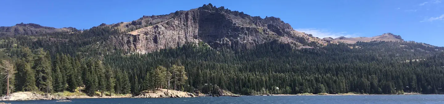
Other campgrounds nearby


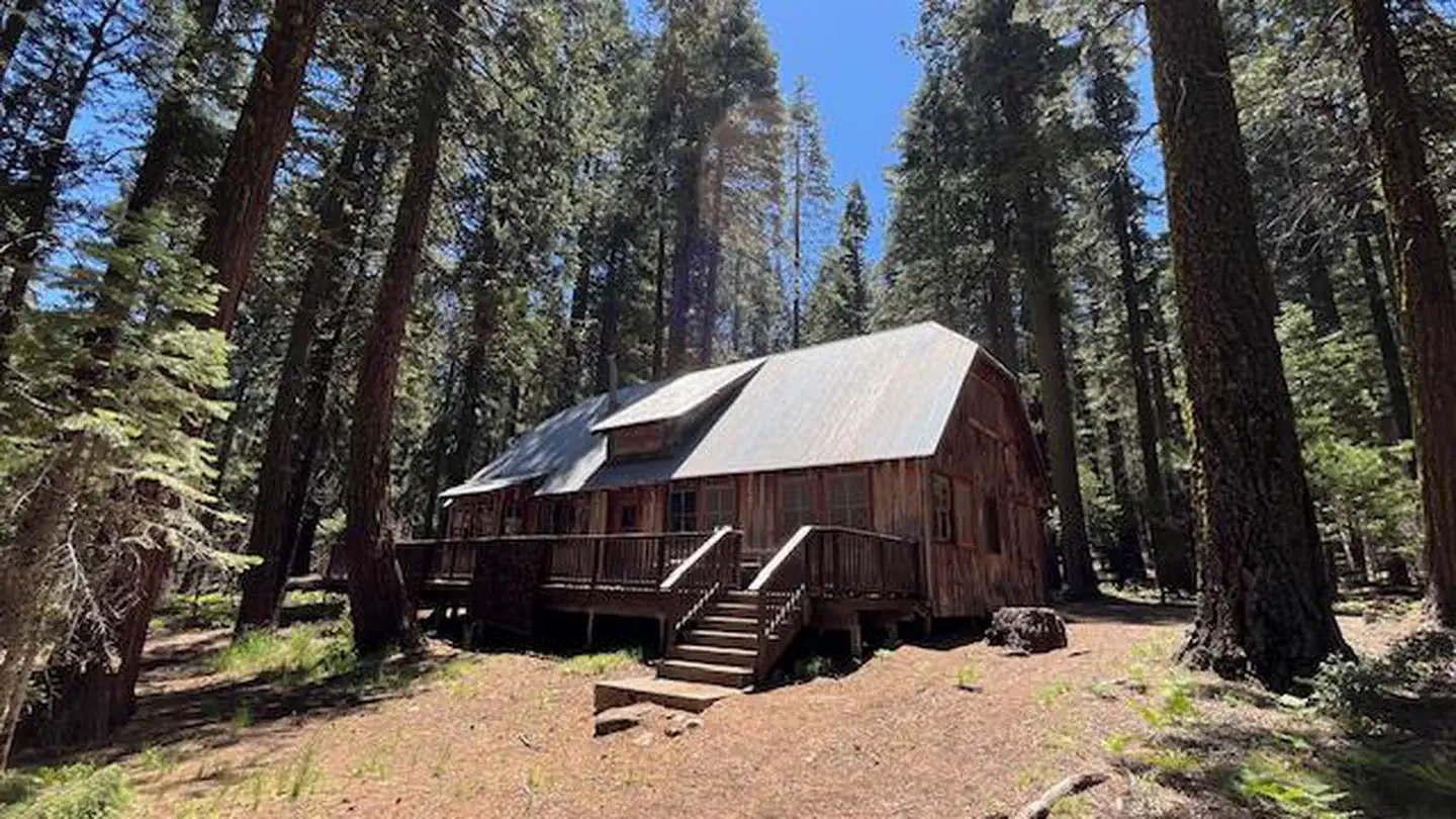
Cabin and lookout rentals nearby
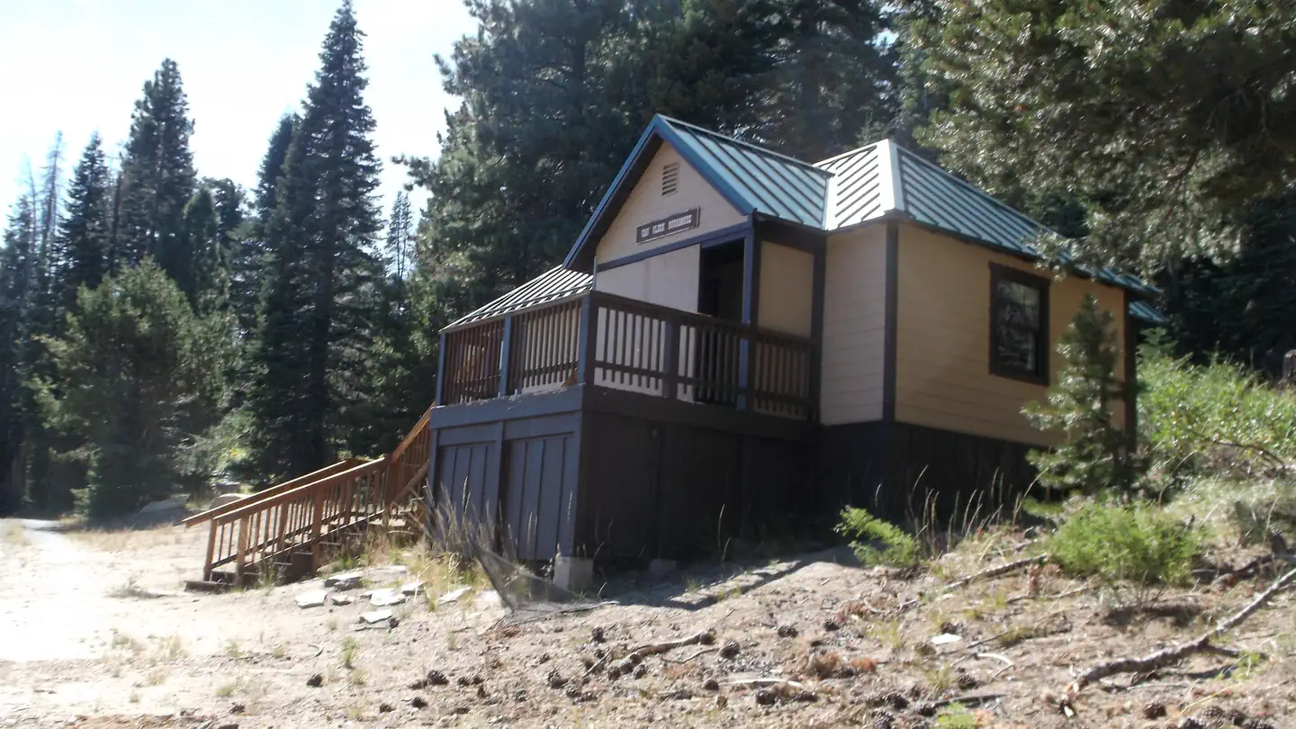
On the National Register nearby
- Webster Schoolhouse, OldBuilding · Markleeville · 12.2 mi
- Alpine County CourthouseBuilding · Markleeville · 12.4 mi
Reference
Questions people ask
Do I need a reservation at Woods Lake?
Sites at Woods Lake are reservable on Recreation.gov. Any walk-up sites are listed on the booking page.
Source: Recreation.gov
How many sites does Woods Lake have?
26 sites, including 26 tent-only sites.
Source: Recreation.gov
Are pets allowed at Woods Lake?
Yes, pets are allowed at Woods Lake. Leash rules apply.
Source: Recreation.gov
Can I have a campfire at Woods Lake?
Fires are allowed in the provided rings under normal conditions. As of 2026-11-17, there are 4 active fires within 50 miles, so check current restrictions before you light one.
Source: Fire nearby
What if Woods Lake is full?
The nearest public campgrounds are Caples Lake Campground (2.6 mi, first-come), Kirkwood Campground (4.4 mi, first-come), and Silver Lake Campground East (6 mi).
Source: Campgrounds nearby