Big Spring Campground
This campground is located in an open ponderosa pine forest and along a babbling creek. The campsites vary in size significantly to accommodate many different group sizes. Local ranchers will graze their cattle near the campground which means the cows can often be seen or heard in camp.
More like this: first-come in Oregon

Season & status
| Status | Closed for the season. Forest Service sites close for the season; check the official page for the reopening date. |
| Forest | Ochoco National Forest |
| Fees | This is a free facility. |
| Rules | Size and number of trailer sites limited. There is a 14 day stay limit on all National Grassland and US Forest Service land including but not limited to campgrounds and other developed facilities. |
Weather by month
Getting there
From Prineville, Oregon. Take Highway 26 east 16 miles to Forest Service Road 42. Travel on Forest Service Road 42 east for 8 miles to the Ochoco Ranger Station. Continue on Forest Service Road 42 for another 23 miles toward Deep Creek Campground.
| Coordinates | 44.3324° N, 119.9926° W · Directions ↗ |
Fire nearby
- PrescribedDamon 2A Rx
49 mi from the campground · 85 acres
Distance is to the reported incident point, not the fire edge. Call the managing office before you drive.
Supplies & services
| Dump station | Dump station ↗ | 37.3 mi |
| RV sales & service | RV sales & service ↗ | 41.6 mi |
| Outdoor gear | Prepper Up ↗ | 42.8 mi |
Locations © OpenStreetMap contributors. Call ahead; hours change seasonally.
No site-by-site records, no amenities, no fee schedule or photos in the Recreation.gov record. What is here comes from the agency's own listing. The rest lives there.
Checked nightly. Modules appear as soon as the record fills in.
Explore
Public land it sits in
This campground sits inside Ochoco National Forest.
- inOchoco National Forest ↗National Forest · Forest Service · 912,775 acres
- 12.8 miBridge Creek Wilderness ↗Wilderness · Forest Service · 5,337 acres
- 14.2 miBlack Canyon Wilderness ↗Wilderness · Forest Service · 13,090 acres
Each unit is published as a centre point and an acreage rather than a boundary, so this section stands it in for a circle of the same area. Whether a campground is inside, and how far it is from one it is outside, are both approximate.
Other campgrounds nearby
Cabin and lookout rentals nearby
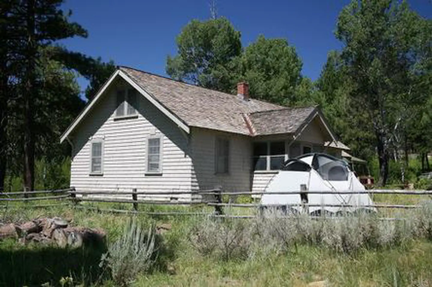
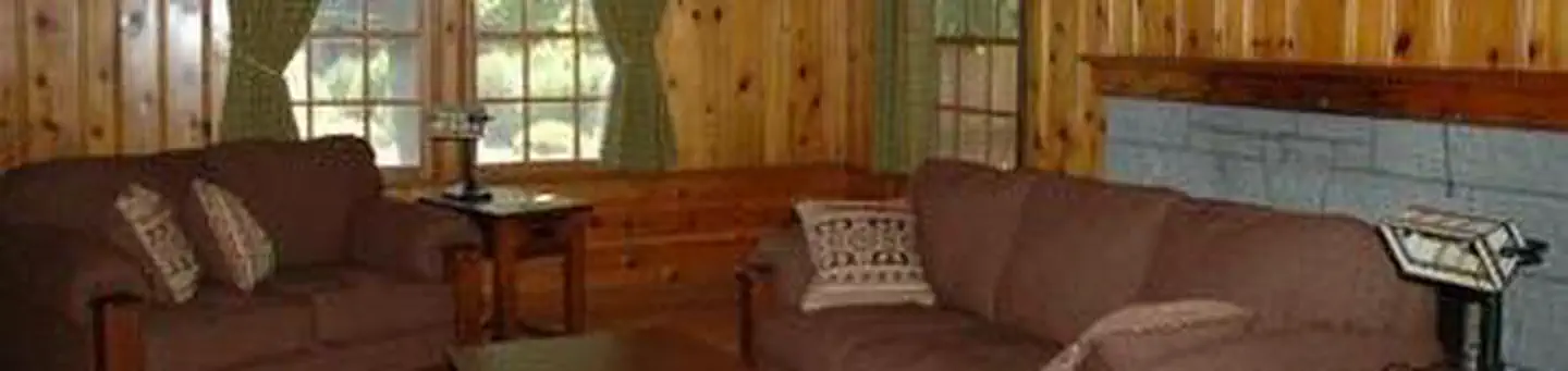
On the National Register nearby
- Roba Ranch, TheBuilding · Paulina · 7.3 mi
Guidebooks for Oregon
We earn a small commission if you buy through these links. It does not change what we list.

Titles come from Open Library's catalog, matched by subject heading or by title.
Reference
Questions people ask
Do I need a reservation at Big Spring Campground?
No. Big Spring Campground is first-come, first-served. Sites are taken on arrival and paid at the fee station.
Source: Forest Service
How much does it cost to camp at Big Spring Campground?
This is a free facility.
Source: Forest Service
Is Big Spring Campground open right now?
Closed for the season as of Oct 16, 2026.
Source: Forest Service status
Is there cell service at Big Spring Campground?
FCC coverage maps show AT&T 4G LTE at the campground point. Terrain changes that from one site to the next.
Source: FCC Broadband Map
What if Big Spring Campground is full?
The nearest public campgrounds are Deep Creek Campground (4.1 mi, first-come), Cottonwood Pit Campground (6.5 mi, first-come), and Cottonwood Campground (7.8 mi, first-come).
Source: Campgrounds nearby