Potato Patch Campground
Campers looking for some peace and quiet will find this relaxing campground offers cool summertime temperatures and easy access from scenic Hwy 89A in central Arizona. The campground is located at 7,200 ft. in elevation between Mingus Mountain and Woodchute Wilderness in a beautiful ponderosa pine forest.
More like this: electric hookups in Arizona · reservable in Arizona · big rigs in Arizona · pets allowed in Arizona
Check availability on Recreation.gov ↗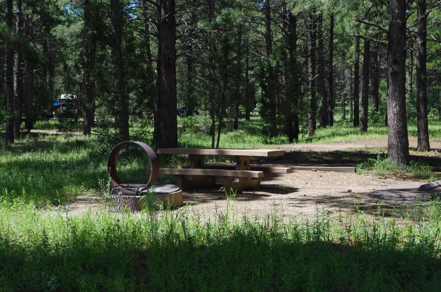
Site mix
| Standard, no hookups | 29 |
| Standard with electric | 12 |
Site guide
Will my RV fit
The longest site here provides 40 feet of vehicle capacity. Most sites are shorter.
41 sites in 2 loops. Tap a filter to narrow the list; the map follows.
| Site | Loop | Type | Entry | Fits, ft | Surface | Shade | Power | People / vehicles | Fires | Accessible | Rating |
|---|---|---|---|---|---|---|---|---|---|---|---|
| A01 | Loop A | Standard | Back-in | 40 | Paved | Partial | No | 5 / 2 | Yes | Standard | |
| A02 | Loop A | Standard | Back-in | 40 | Paved | Partial | No | 5 / 2 | Yes | Prime | |
| A03 | Loop A | Standard | Back-in | 37 | Paved | Partial | No | 5 / 2 | Yes | Preferred | |
| A04 | Loop A | Standard | Back-in | 37 | Paved | Partial | No | 5 / 2 | Yes | Prime | |
| A05 | Loop A | Standard | Back-in | 40 | Paved | Partial | No | 5 / 2 | Yes | Standard | |
| A06 | Loop A | Standard | Back-in | 39 | Paved | Partial | No | 5 / 2 | Yes | Yes | Standard |
| A07 | Loop A | Standard | Back-in | 40 | Paved | Full | No | 5 / 2 | Yes | Prime | |
| A08 | Loop A | Standard | Back-in | 40 | Paved | Partial | No | 5 / 2 | Yes | Standard | |
| A09 | Loop A | Standard | Back-in | 30 | Paved | Partial | No | 5 / 2 | Yes | Standard | |
| A10 | Loop A | Standard | Back-in | 37 | Paved | No | 5 / 2 | Yes | Standard |
Per-site records as published by the managing agency on Recreation.gov. Blank cells mean the agency listed nothing for that site. Check-in 2:00 PM, checkout 11:00 AM.
Amenities & rules
| Hookups | Electric |
| Max vehicle length | 40 ft |
| Equipment | RVs & trailers, Tents |
| Pets | Allowed |
| Campfires | Allowed, subject to restrictions |
| Tent pads | Yes |
| Accessibility | Sites A06, A17, B10 are listed accessible |
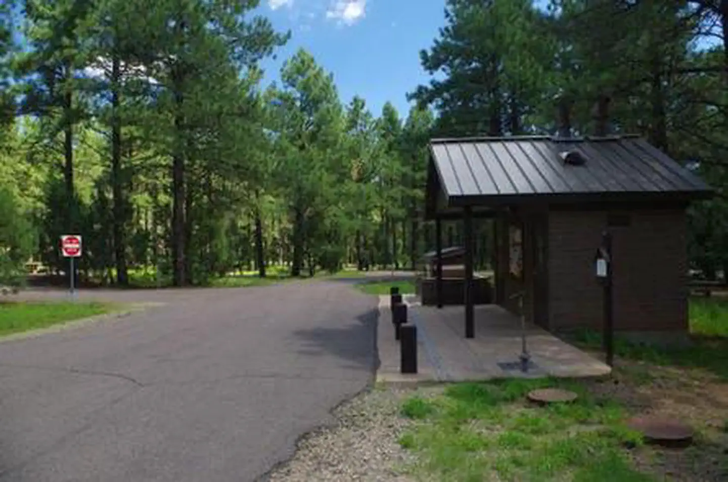
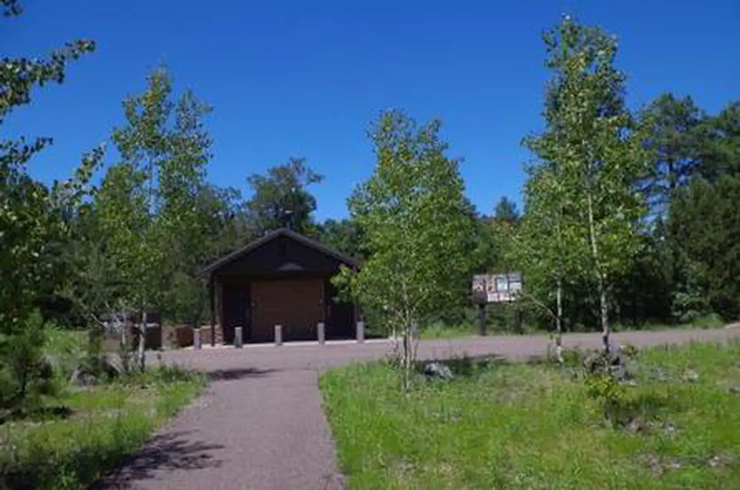
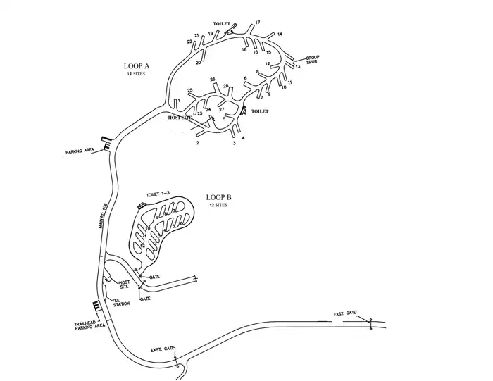
Each site at Potato Patch Campground features a picnic table, paved parking, a level tent pad (non-electric sites only), and an elevated fire ring with grill. Accessible sites have an additional pedestal grill. Loop B: All twelve sites have electrical hookups (30 amp). Tents are not permitted. See site map under photos. Three composting toilets, garbage service, and potable water (not for filling RV tanks) are available to all campers.
Individual sites vary. Confirm on Recreation.gov or with the managing office.
Season & status
| Season | May 1 - October 31 |
| Forest | Prescott National Forest |
| Booking | The following sites may be reserved on the day of arrival or up to six months in advance through Recreation.gov: Loop A (non-electric): 2, 3, 4, 10, 11, 12, 13, 14, 15, 16, 17, 18, 19, 20, 21, 22… |
| Fees | $14 for campsite. $18 for campsite with electrical hookups. $28 for group site (4 vehicles). $5 for extra vehicle |
| Rules | Check-in after 2:00 p.m./Check-out by 12:00 noon. Quiet hours between 10 p.m. and 6 a.m. Campfires in developed fire pits only. Dogs must be on leash (6' maximum). OHV/ATV use prohibited in the campground. Maximum length of stay: 14 days in 30-day period on the Prescott National Forest including stays at dispersed recreation sites. Fireworks are prohibited. |
Weather by month
Getting there
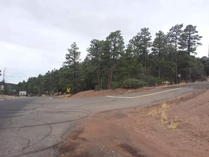
From Prescott, take U.S. Highway 89 north past Granite Dells, turn right on Hwy 89A and travel approximately 20 miles to the top of Mingus Mountain on steep, mountainous grade. Potato Patch Campground entrance will be to your left (across from the Summit Picnic Area) on Forest Road 106.
| Nearest town | Camp Verde, Arizona |
| Coordinates | 34.7094° N, 112.1537° W · Directions ↗ |
Fire nearby
- PrescribedNewman Piles Rx
36 mi from the campground · 751 acres
- PrescribedNewman 2 Piles Rx
36 mi from the campground · 723 acres
- PrescribedWalker Hill 2 Piles Rx
42 mi from the campground · 356 acres
- PrescribedCy26 Wrd-Northside Piles Rx
43 mi from the campground · 165 acres
Distance is to the reported incident point, not the fire edge. Call the managing office before you drive.
Supplies & services
| Dump station | Dump station ↗ | 8.2 mi |
| RV sales & service | Little Dealer Little Prices ↗ | 12.5 mi |
| Outdoor gear | REI ↗ | 19.7 mi |
Locations © OpenStreetMap contributors. Call ahead; hours change seasonally.
Explore
Video
Potato Patch Campground
Worth a stop
The historic and eclectic mining town of Jerome is just down the steep, winding mountain road, with unique shopping and dining opportunities and Jerome State Historic Park. Tuzigoot National Monument, an ancient pueblo, and the lively historic towns of Clarkdale and Cottonwood with museums and basic services are just over 9 miles away. Hayfield Draw OHV Area is located on Highway 260 between Cottonwood and Camp Verde for a unique OHV recreational experience. The towns of Prescott Valley and Prescott are 20 miles away and provide a wide array of services, shopping and dining.
- 0.2 miWoodchute Trailhead ↗Trailhead
- 11 mi
- 14.1 mi
Trails nearby
- 0.4 miUpper Mescal1 mi trail · hiking, horse, bike
- 0.5 miWoodchute ↗5.7 mi trail · hiking, horse
- 0.5 miBug Hollow2.9 mi trail · hiking, horse, bike
- 0.6 miMescal1.4 mi trail · hiking, horse, bike
- 0.8 miButterfly1.6 mi trail · hiking, horse, bike
- 1.1 miMiddle0.5 mi trail · hiking, horse, bike
Trailheads within three miles
- 0.2 miWoodchute Trailhead ↗Prescott National Forest · Season May 1 to October 31
Trail and trailhead records are the Forest Service's. Distances are straight-line to the nearer trail end. Trail conditions are not tracked here.
Public land it sits in
Woodchute Wilderness begins about 1.9 miles away, and it is the closest of these.
- 1.9 miWoodchute Wilderness ↗Wilderness · Forest Service · 5,887 acres
- 5 miCoconino National Forest ↗National Forest · Forest Service · 2,000,952 acres
- 5.2 miPrescott National Forest ↗National Forest · Forest Service · 1,411,550 acres
Each unit is published as a centre point and an acreage rather than a boundary, so this section stands it in for a circle of the same area. Whether a campground is inside, and how far it is from one it is outside, are both approximate.
Other campgrounds nearby

Cabin and lookout rentals nearby
On the National Register nearby
- Mingus Lookout ComplexStructure · Mingus · 1.8 mi
- Clark Memorial ClubhouseBuilding · Clarkdale · 7 mi
- Broadway BridgeStructure · Clarkdale · 7.1 mi
Natural features
This mountain top campground offers a cool respite from hot Arizona summers -- a classic forest setting for a memorable camping adventure. Connect with your inner naturalist and observe the wildlife and wildflowers found in abundance around the campground. Interesting geology can be found in any direction with many significant rock formations, canyons and mountains within easy driving distance from Potato Patch.
Recreation
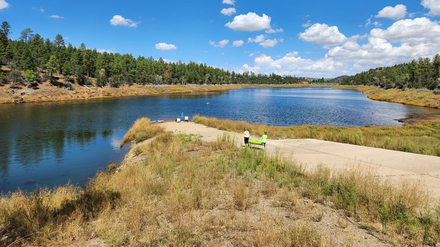
Wildlife viewing, hiking, scenic driving and off-highway scenic driving are popular in the area. The wanderer in you will appreciate your close proximity to Yeager Canyon Trail #28 and Woodchute Trail #102, a rewarding hike into the 5,923 acre Woodchute Wilderness and view from the top of Woodchute Mountain. Access to a segment of The Great Western Trail is located adjacent to the campground. Mingus Lake is just across the highway and stocked for fishing. The Verde River in the valley below offers rafting, kayaking and bird watching.
Guidebooks for Arizona
We earn a small commission if you buy through these links. It does not change what we list.
- Best Backpacking Trips in Utah, Arizona, and New MexicoMike White and Douglas Lorain, 2016Find at Bookshop.org
Titles come from Open Library's catalog, matched by subject heading or by title.
Reference
Questions people ask
Do I need a reservation at Potato Patch Campground?
Sites at Potato Patch Campground are reservable on Recreation.gov. The following sites may be reserved on the day of arrival or up to six months in advance through Recreation.gov: Loop A (non-electric): 2, 3, 4, 10, 11, 12, 13, 14, 15, 16, 17, 18, 19, 20, 21, 22… Any walk-up sites are listed on the booking page.
Source: Recreation.gov
How much does it cost to camp at Potato Patch Campground?
$14 for campsite. $18 for campsite with electrical hookups. $28 for group site (4 vehicles).
Source: Recreation.gov
What time is check-in at Potato Patch Campground?
Check-in 2:00 PM, checkout 11:00 AM.
Source: Recreation.gov
How many sites does Potato Patch Campground have?
41 sites, including 29 standard sites without power and 12 standard sites with power.
Source: Recreation.gov
Will my RV fit at Potato Patch Campground?
The longest site here provides 40 feet of vehicle capacity. Most sites are shorter. The sidebar tool checks a trailer or motorhome length against every site.
Source: Will my RV fit
Does Potato Patch Campground have hookups?
Yes, electric hookups at some sites.
Source: Recreation.gov
Are pets allowed at Potato Patch Campground?
Yes, pets are allowed at Potato Patch Campground. Leash rules apply.
Source: Recreation.gov
Can I have a campfire at Potato Patch Campground?
Fires are allowed in the provided rings under normal conditions. As of 2026-10-16, there are 4 active fires within 50 miles, so check current restrictions before you light one. Check-in after 2:00 p.m./Check-out by 12:00 noon.
Source: Fire nearby
Are there accessible sites at Potato Patch Campground?
Sites A06, A17, and B10 are listed accessible on Recreation.gov. What that covers (a paved pad, an accessible table, a nearby accessible restroom) is on each site's booking page.
Source: Recreation.gov
Is there cell service at Potato Patch Campground?
FCC coverage maps show Verizon 4G LTE at the campground point. Terrain changes that from one site to the next.
Source: FCC Broadband Map
What is there to do at Potato Patch Campground?
Wildlife viewing, hiking, scenic driving and off-highway scenic driving are popular in the area. The Recreation section on this page has the rest.
Source: Recreation
What is the nearest town to Potato Patch Campground?
Camp Verde, Arizona. The historic and eclectic mining town of Jerome is just down the steep, winding mountain road, with unique shopping and dining opportunities and Jerome State Historic Park.
Source: Getting there