Lower Canyon Creek Campground
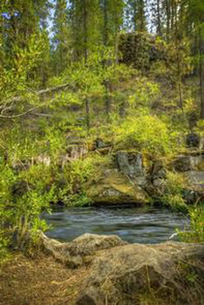
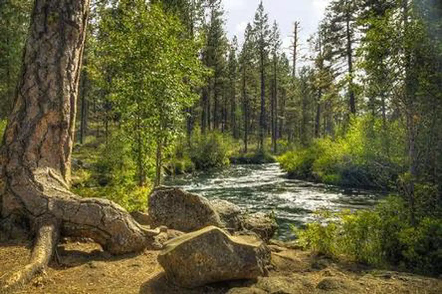
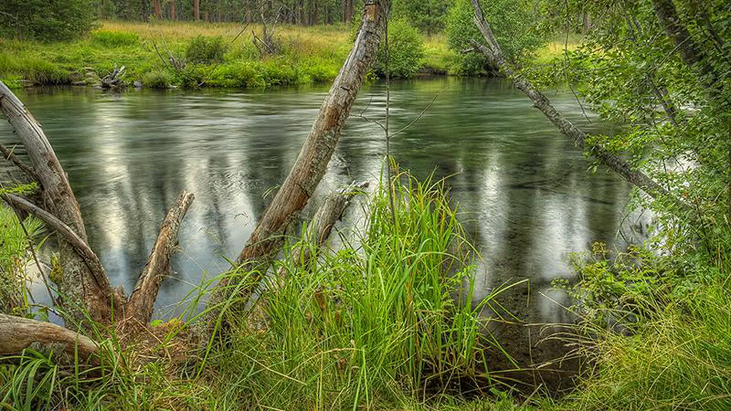
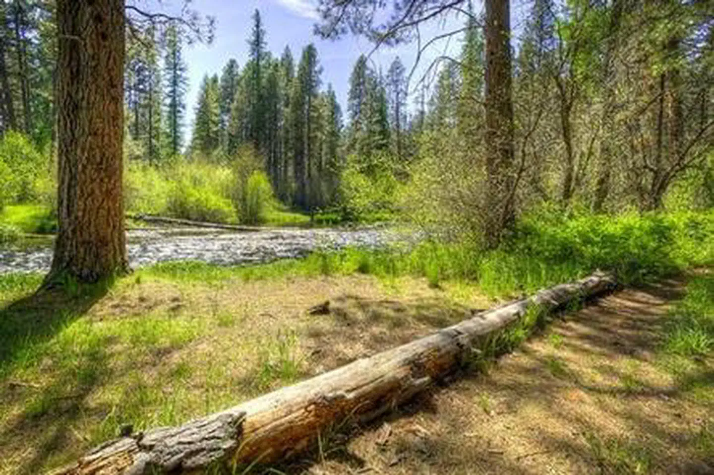
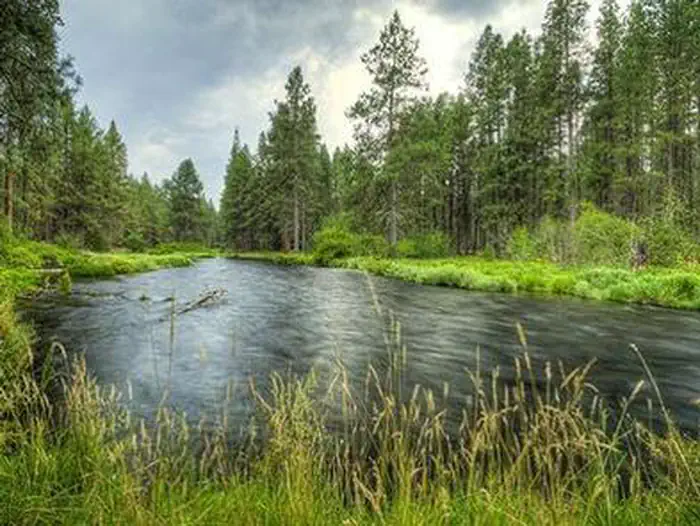
Located at the confluence of Canyon Creek and the upper Metolius River, Lower Canyon Creek Campground is one of a string of campgrounds that dot the Metolius River offering visitors some of the most stunning scenery in central Oregon and easy access to an abundance of recreational activities.
More like this: reservable in Oregon · big rigs in Oregon · pets allowed in Oregon
Check availability on Recreation.gov ↗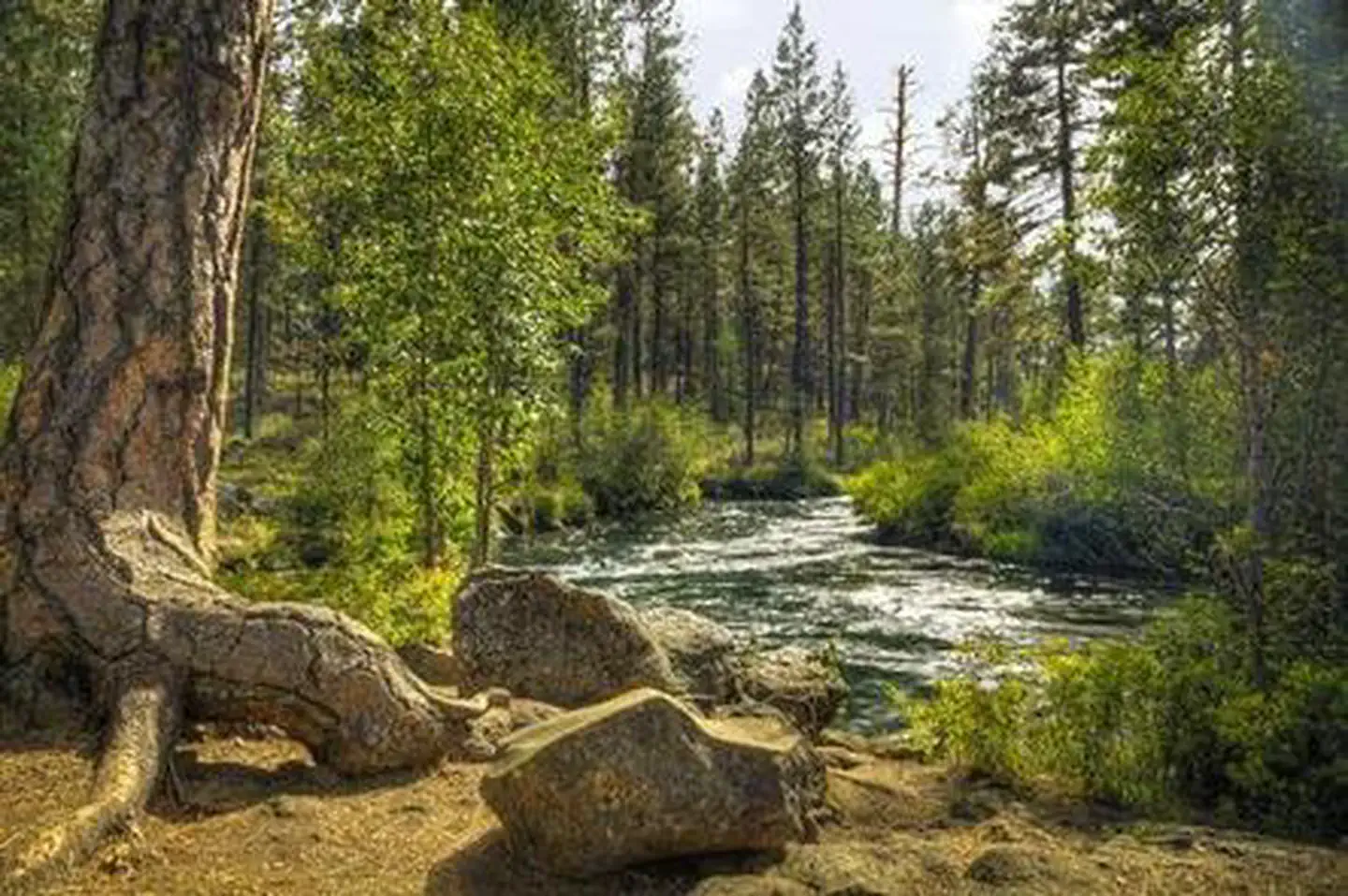

Site mix
| Standard, no hookups | 5 |
| Host/management | 2 |
Site guide
Will my RV fit
The longest site here provides 40 feet of vehicle capacity. Most sites are shorter.
5 sites. Tap a filter to narrow the list; the map follows.
| Site | Entry | Fits, ft | Surface | Shade | Waterfront | People / vehicles | Fires | Rating |
|---|---|---|---|---|---|---|---|---|
| 01 | Pull-through | 40 | Gravel | Partial | 6 / 1 | Yes | Standard | |
| 02 | Pull-through | 20 | Gravel | Partial | 6 / 1 | Yes | Standard | |
| 03 | Pull-through | 20 | Gravel | Partial | Riverfront | 6 / 1 | Yes | Standard |
| 04 | Pull-through | 40 | Gravel | Partial | 6 / 1 | Yes | Standard | |
| 05 | Back-in | 20 | Gravel | Partial | 6 / 1 | Yes | Standard |
Per-site records as published by the managing agency on Recreation.gov. Blank cells mean the agency listed nothing for that site. Check-in 2:00 PM, checkout 12:00 PM.
Amenities & rules
| Hookups | None |
| Max vehicle length | 40 ft |
| Equipment | RVs & trailers, Tents |
| Pets | Allowed |
| Campfires | Allowed, subject to restrictions |
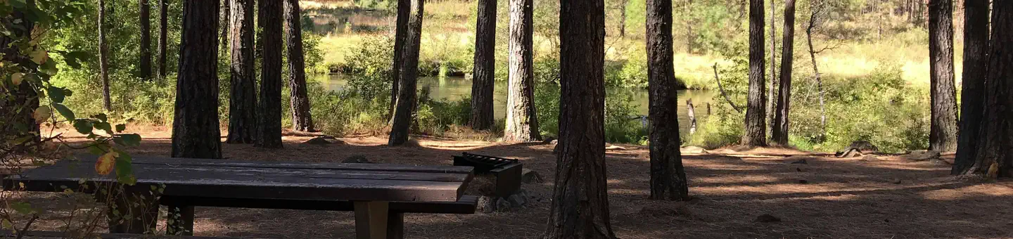
Lower Canyon Creek Campground can accommodate RV, trailer or tent-campers however water and electric hookups are not available. This is a no water facility so campers will need to bring their own supply. All sites are equipped with a picnic table and campfire ring with grill and the campground has vault toilets available.
Individual sites vary. Confirm on Recreation.gov or with the managing office.
Season & status
| Status | Closed for the season. Forest Service sites close for the season; check the official page for the reopening date. |
| Forest | Deschutes National Forest |
| Booking | Reservations can be made online through Recreation.gov or by calling toll free 1-877-444-6777 (International 606-515-6777 or TDD 1-877-833-6777). |
| Fees | Single Campsite Rate: $21/night. One vehicle included with reservation – Each Additional Vehicle: $10.00. NOTE: Holders of a Golden Age and Golden Access Passports and Senior and Access Passes are entitled to the following discounts on expanded amenity recreation fees: - A 50 percent discount on… |
| Rules | Maximum site spur length is 40 feet. |
Weather by month
Getting there
From Sisters, OR: Travel 9.6 miles northwest on Highway 20, then 2.7 miles north on Forest Road 14, then 2 miles north on Forest Road 1419, and then 3.4 miles north on Forest Road 1420. Then follow the signs to the campground.
| Nearest town | Sisters, Oregon |
| Coordinates | 44.5013° N, 121.6414° W · Directions ↗ |
Fire nearby
- WildfireBench
17 mi from the campground · 67,071 acres · 90% contained
- PrescribedSlow Dxp/Lemiti Rx - West
29 mi from the campground
- PrescribedSisi Lookout Admin Piles Rx - West
29 mi from the campground
- PrescribedSpike Timber Sale Rx - West
32 mi from the campground
Distance is to the reported incident point, not the fire edge. Call the managing office before you drive.
Supplies & services
| Dump station | Dump station ↗ | 19.3 mi |
| Outdoor gear | Redpoint ↗ | 25.1 mi |
| RV sales & service | Big Country RV ↗ | 28.3 mi |
Locations © OpenStreetMap contributors. Call ahead; hours change seasonally.
Explore
Worth a stop
The Camp Sherman Fish Viewing Platform allows visitors the chance to view a variety of types of fish while the Metolius Research Natural Area gives bird watchers ample opportunities. Visit the Metolius Fish Hatchery or Wizard Falls Fish Hatchery display ponds to observe and feed different types of salmon and other fish. The Metolius-Windigo Trail, open to hikers, bikers and horses, is more than 100 miles in length and begins near the Metolius River headwaters west of the town of Sisters, Oregon. The trail was created in the 1980s primarily to serve long-distance horse riders seeking an alternative to the Pacific Crest Trail. Lava Lands Visitor Center in nearby Bend, Oregon, and the unique geological landscape of Newberry National Volcanic Monument draw visitors to the region as well. It is a great starting point for visitors to learn about the diverse landscape and history of the area through interpretive programs and exhibits. Visitors can also explore the Lava River Cave, located in the Newberry National Volcanic Monument. At 5,211 feet in length, the northwest section of the cave is the longest continuous lava tube in Oregon.
- 6.7 miCabot Lake Trailhead ↗Trailhead
Trails nearby
- under 0.1 miWest Metolius River Trail ↗8.4 mi trail · hiking
- 2.8 miCamp Sherman "h"2.3 mi trail · hiking, bike
- 3.2 miLake Creek4.4 mi trail · hiking, horse, bike
- 4 miEast Metolius River Trail ↗9.5 mi trail · hiking
- 4.2 miHead of Jack Creek0.5 mi trail · hiking, horse, bike
- 4.3 miGreen Ridge ↗11.8 mi trail · hiking, horse, bike
Trail and trailhead records are the Forest Service's. Distances are straight-line to the nearer trail end. Trail conditions are not tracked here.
Public land it sits in
Mount Jefferson Wilderness begins about 4 miles away, and it is the closest of these.
- 4 miMount Jefferson Wilderness ↗Wilderness · Forest Service · 109,098 acres
- 8 miWillamette National Forest ↗National Forest · Forest Service · 1,801,292 acres
- 12.7 miMount Washington Wilderness ↗Wilderness · Forest Service · 54,406 acres
Each unit is published as a centre point and an acreage rather than a boundary, so this section stands it in for a circle of the same area. Whether a campground is inside, and how far it is from one it is outside, are both approximate.
Other campgrounds nearby
Cabin and lookout rentals nearby
On the National Register nearby
- Camp Sherman Community HallBuilding · Camp Sherman · 3.6 mi
- Santiam Pass Ski LodgeBuilding · Sisters · 12.3 mi
Natural features
The headwaters of the adjacent Metolius River are at Metolius Springs at the base of Black Butte, a 3,076-foot cinder cone. The clear, cold river flows north from the springs through diverse coniferous forest and a landscape of volcanic activity. The area provides habitat for mammals such as mule deer, coyote and cougar.
Recreation
Hiking and fishing top the list of recreational activities for visitors. For anglers, the spring-fed Metolius river offers a stunning setting for fly-fishing. The clear, cold water supports rainbow trout, whitefish, bull trout and kokanee salmon. For day hikers and backpackers, the area offers a wide variety of scenic terrain, ranging from riverside trails to routes in subalpine forests.
Guidebooks for Oregon
We earn a small commission if you buy through these links. It does not change what we list.

Titles come from Open Library's catalog, matched by subject heading or by title.
Reference
Questions people ask
Do I need a reservation at Lower Canyon Creek Campground?
Sites at Lower Canyon Creek Campground are reservable on Recreation.gov. Reservations can be made online through Recreation.gov or by calling toll free 1-877-444-6777 (International 606-515-6777 or TDD 1-877-833-6777). Any walk-up sites are listed on the booking page.
Source: Recreation.gov
How much does it cost to camp at Lower Canyon Creek Campground?
Single Campsite Rate: $21/night. One vehicle included with reservation – Each Additional Vehicle: $10.00. NOTE: Holders of a Golden Age and Golden Access Passports and Senior and Access Passes are entitled to the following discounts on expanded amenity recreation fees: - A 50 percent discount on…
Source: Recreation.gov
What time is check-in at Lower Canyon Creek Campground?
Check-in 2:00 PM, checkout 12:00 PM.
Source: Recreation.gov
Is Lower Canyon Creek Campground open right now?
Closed for the season as of Oct 16, 2026.
Source: Forest Service status
How many sites does Lower Canyon Creek Campground have?
7 sites, including 5 standard sites without power.
Source: Recreation.gov
Will my RV fit at Lower Canyon Creek Campground?
The longest site here provides 40 feet of vehicle capacity. Most sites are shorter. The sidebar tool checks a trailer or motorhome length against every site.
Source: Will my RV fit
Are pets allowed at Lower Canyon Creek Campground?
Yes, pets are allowed at Lower Canyon Creek Campground. Leash rules apply.
Source: Recreation.gov
Can I have a campfire at Lower Canyon Creek Campground?
Fires are allowed in the provided rings under normal conditions. As of 2026-10-16, there are 4 active fires within 50 miles, so check current restrictions before you light one. Maximum site spur length is 40 feet.
Source: Fire nearby
Is there cell service at Lower Canyon Creek Campground?
FCC coverage maps show AT&T 5G at the campground point. Terrain changes that from one site to the next.
Source: FCC Broadband Map
What is there to do at Lower Canyon Creek Campground?
Hiking and fishing top the list of recreational activities for visitors. The Recreation section on this page has the rest.
Source: Recreation
What is the nearest town to Lower Canyon Creek Campground?
Sisters, Oregon. The Camp Sherman Fish Viewing Platform allows visitors the chance to view a variety of types of fish while the Metolius Research Natural Area gives bird watchers ample opportunities.
Source: Getting there
What if Lower Canyon Creek Campground is full?
The nearest public campgrounds are Smiling River Campground (0.6 mi), Allingham Campground (0.9 mi), and Gorge Campground (1.1 mi).
Source: Campgrounds nearby